Newhouse Gorse

Downs, Moorland in Staffordshire Staffordshire Moorlands

England

Newhouse Gorse

Looking towards Tean Leys
Looking towards Tean Leys Credit: Alan Murray-Rust

Newhouse Gorse is a picturesque area located in the county of Staffordshire, England. Situated on the outskirts of the village of Newhouse, this region encompasses vast expanses of downs and moorland, offering visitors a breathtaking natural landscape to explore.

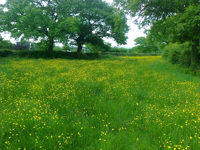
Known for its rugged beauty, Newhouse Gorse is characterized by rolling hills, heather-covered moors, and scattered gorse bushes. The striking contrast between the vibrant yellow flowers of the gorse and the purple hues of the heather creates a stunning vista that attracts hikers, nature enthusiasts, and photographers alike.

The downs of Newhouse Gorse are home to a diverse range of flora and fauna. The fertile soil supports a variety of plant species, including wildflowers, grasses, and ferns. This rich vegetation provides a habitat for numerous wildlife species, such as rabbits, foxes, and various bird species. Visitors may even be lucky enough to spot the elusive red grouse, which is native to the area.

For outdoor enthusiasts, Newhouse Gorse offers a plethora of recreational activities. The extensive network of walking trails and footpaths allows visitors to explore the region at their own pace, taking in the breathtaking views and enjoying the tranquility of the surroundings. The area is also popular among mountain bikers and horse riders, who take advantage of the challenging terrain and scenic routes.

With its unspoiled natural beauty and diverse wildlife, Newhouse Gorse is a true gem in the heart of Staffordshire. Whether you are seeking a peaceful retreat or an adventurous outing, this enchanting landscape is sure to captivate all who visit.

If you have any feedback on the listing, please let us know in the comments section below.

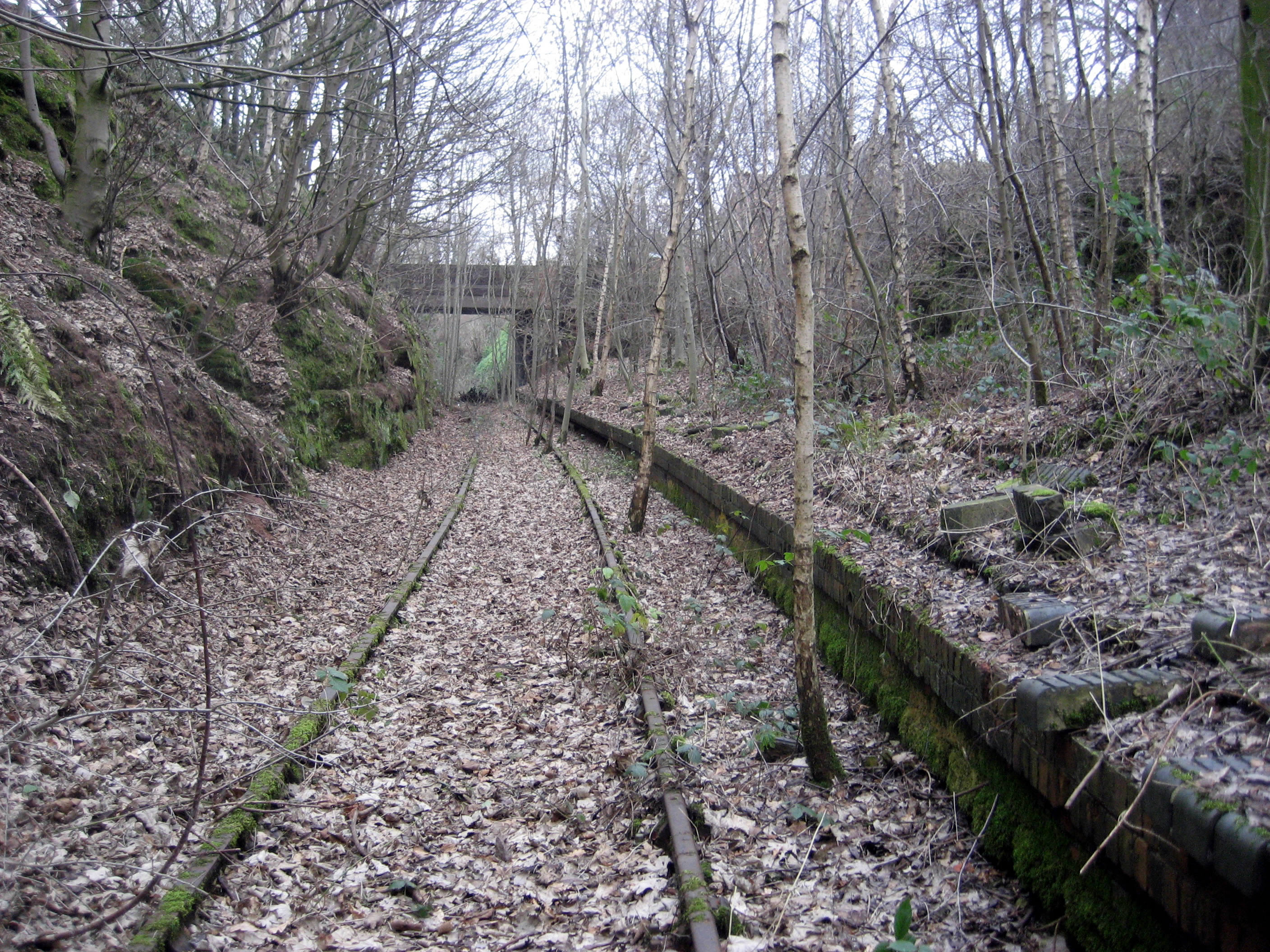
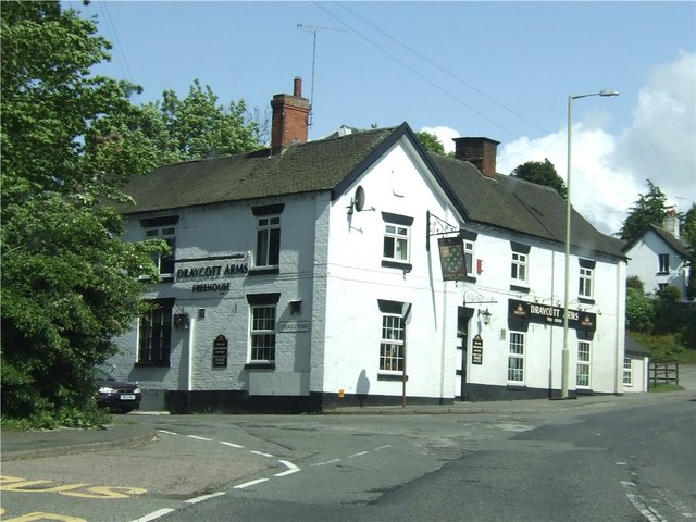
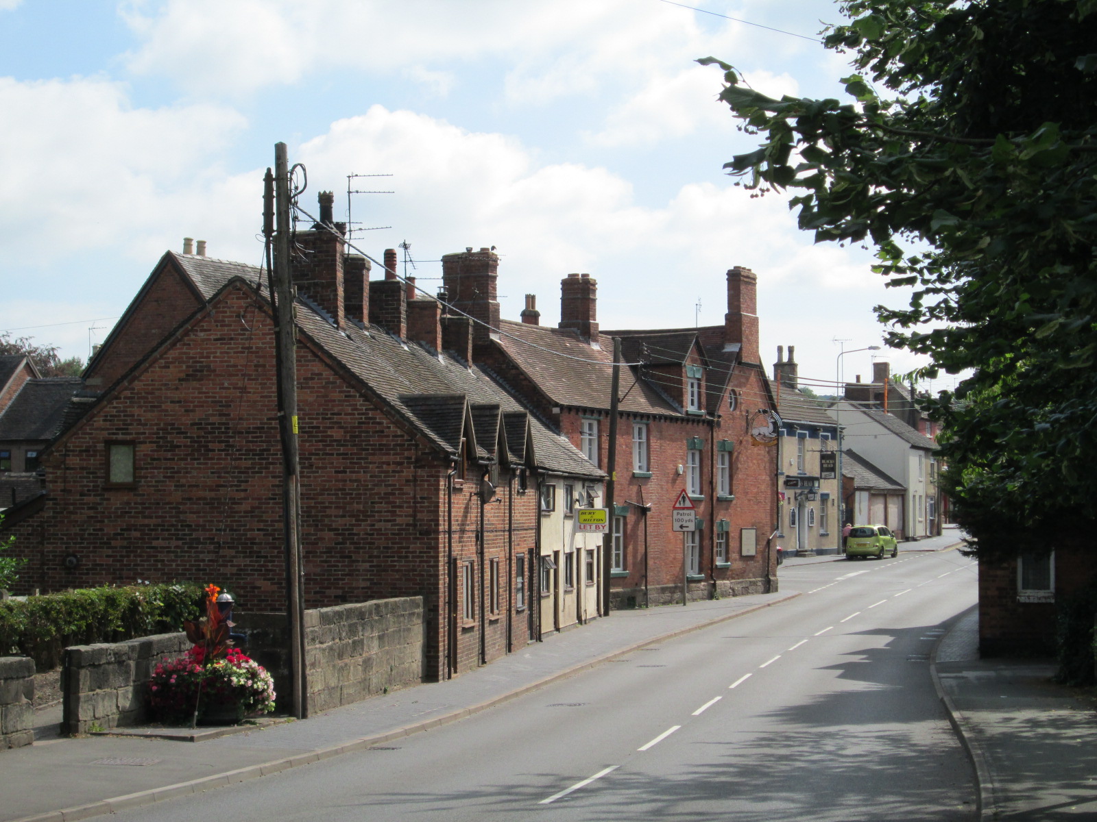
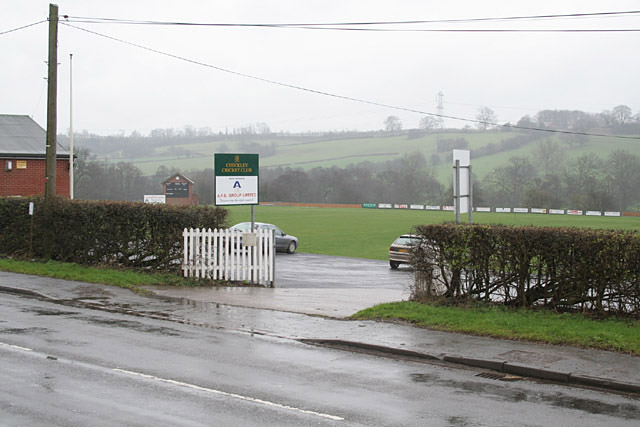
Newhouse Gorse Images

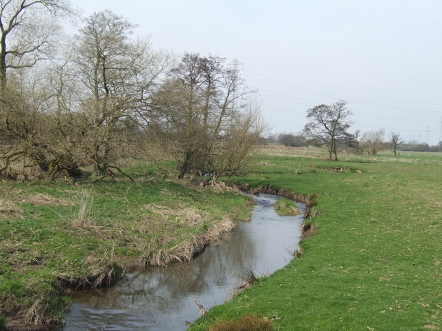
Images are sourced within 2km of 52.928956/-2.0181072 or Grid Reference SJ9836. Thanks to Geograph Open Source API. All images are credited.

Looking towards Tean Leys
River Blithe upstream near Upper Leigh
Upper Leigh Level Crossing One of a number of level crossings on the Derby to Stoke line.
Upper Leigh Level Crossing
One of a number of level crossings on the Derby to Stoke line.
River Blithe bridge near Upper Leigh Level Crossing The blue brick parapets suggest that the bridge was built by the railway company.
River Blithe bridge near Upper Leigh Level Crossing
The blue brick parapets suggest that the bridge was built by the railway company.
Blithewood Moat 1 Earthwork remains of a moated site, possibly a fortified manor.
Historic Environment Record: 00182.
Scheduled Monument: Yes.
Listed Building Status: Not listed.
See:   <span class="nowrap"><a title="http://www.castlefacts.info/contentpages/castledetails/castledetails.asp?country=England&countyid=37&county=Staffordshire&castleid=3532&latitude=52.9259&longitude=-2.01632&uin=13309" rel="nofollow ugc noopener" href="http://www.castlefacts.info/contentpages/castledetails/castledetails.asp?country=England&countyid=37&county=Staffordshire&castleid=3532&latitude=52.9259&longitude=-2.01632&uin=13309">Link</a><img style="margin-left:2px;" alt="External link" title="External link - shift click to open in new window" src="https://s1.geograph.org.uk/img/external.png" width="10" height="10"/></span>
Blithewood Moat 1
Earthwork remains of a moated site, possibly a fortified manor. Historic Environment Record: 00182. Scheduled Monument: Yes. Listed Building Status: Not listed. See: LinkExternal link
Blithewood Moat 2 Earthwork remains of a moated site, possibly a fortified manor.
Historic Environment Record: 00182.
Scheduled Monument: Yes.
Listed Building Status: Not listed.
See:   <span class="nowrap"><a title="http://www.castlefacts.info/contentpages/castledetails/castledetails.asp?country=England&countyid=37&county=Staffordshire&castleid=3532&latitude=52.9259&longitude=-2.01632&uin=13309" rel="nofollow ugc noopener" href="http://www.castlefacts.info/contentpages/castledetails/castledetails.asp?country=England&countyid=37&county=Staffordshire&castleid=3532&latitude=52.9259&longitude=-2.01632&uin=13309">Link</a><img style="margin-left:2px;" alt="External link" title="External link - shift click to open in new window" src="https://s1.geograph.org.uk/img/external.png" width="10" height="10"/></span>
Blithewood Moat 2
Earthwork remains of a moated site, possibly a fortified manor. Historic Environment Record: 00182. Scheduled Monument: Yes. Listed Building Status: Not listed. See: LinkExternal link
Blithewood Moat 3 Earthwork remains of a moated site, possibly a fortified manor.
Historic Environment Record: 00182.
Scheduled Monument: Yes.
Listed Building Status: Not listed.
See:   <span class="nowrap"><a title="http://www.castlefacts.info/contentpages/castledetails/castledetails.asp?country=England&countyid=37&county=Staffordshire&castleid=3532&latitude=52.9259&longitude=-2.01632&uin=13309" rel="nofollow ugc noopener" href="http://www.castlefacts.info/contentpages/castledetails/castledetails.asp?country=England&countyid=37&county=Staffordshire&castleid=3532&latitude=52.9259&longitude=-2.01632&uin=13309">Link</a><img style="margin-left:2px;" alt="External link" title="External link - shift click to open in new window" src="https://s1.geograph.org.uk/img/external.png" width="10" height="10"/></span>
See full image at zoom.it:  <span class="nowrap"><a title="http://zoom.it/kb9" rel="nofollow ugc noopener" href="http://zoom.it/kb9">Link</a><img style="margin-left:2px;" alt="External link" title="External link - shift click to open in new window" src="https://s1.geograph.org.uk/img/external.png" width="10" height="10"/></span>
Blithewood Moat 3
Earthwork remains of a moated site, possibly a fortified manor. Historic Environment Record: 00182. Scheduled Monument: Yes. Listed Building Status: Not listed. See: LinkExternal link See full image at zoom.it: LinkExternal link
A50 - Blythe House accommodation bridge
A50 near Highfields Farm Armco barriers protect the long embankment toward Newton.
A50 near Highfields Farm
Armco barriers protect the long embankment toward Newton.
Bridge over the A50
Bridge over the A50
Morrilow Heath. Buttercup-filled meadow A long thin field..
Morrilow Heath. Buttercup-filled meadow
A long thin field..
View north from Morrilow Heath 10 minutes later these cattle nearly killed the photographer
View north from Morrilow Heath
10 minutes later these cattle nearly killed the photographer
Farm track with broken culvert, approaching Paynsley
Solar panels at Paynsley chicken farm There's a chicken shed behind the camera.
Solar panels at Paynsley chicken farm
There's a chicken shed behind the camera.
Bridge over A50 to Blythe House This bridge carries a footpath as well as the access road to Blythe House <a href="https://www.geograph.org.uk/photo/618390">SJ9937 : Blythe House</a>
Bridge over A50 to Blythe House
This bridge carries a footpath as well as the access road to Blythe House SJ9937 : Blythe House
A50 eastbound near Highfields Farm
Footbridge Over the A50 The A50 is a major trunk road running for almost 100 miles between Warrington and Leicester.

The A50 has been vastly upgraded between Stoke on Trent and J24 of the M1 at Kegworth with much of the route being built in the 1980s and 90s to form a high-speed link across the Midlands, fulfilling a role which was planned to be taken up by the planned M64 motorway which was never built.
Footbridge Over the A50
The A50 is a major trunk road running for almost 100 miles between Warrington and Leicester. The A50 has been vastly upgraded between Stoke on Trent and J24 of the M1 at Kegworth with much of the route being built in the 1980s and 90s to form a high-speed link across the Midlands, fulfilling a role which was planned to be taken up by the planned M64 motorway which was never built.
Layby on the A50 near Highfields Farm The A50 is a major trunk road running for almost 100 miles between Warrington and Leicester.

The A50 has been vastly upgraded between Stoke on Trent and J24 of the M1 at Kegworth with much of the route being built in the 1980s and 90s to form a high-speed link across the Midlands, fulfilling a role which was planned to be taken up by the planned M64 motorway which was never built.
Layby on the A50 near Highfields Farm
The A50 is a major trunk road running for almost 100 miles between Warrington and Leicester. The A50 has been vastly upgraded between Stoke on Trent and J24 of the M1 at Kegworth with much of the route being built in the 1980s and 90s to form a high-speed link across the Midlands, fulfilling a role which was planned to be taken up by the planned M64 motorway which was never built.
Show me another place!

Newhouse Gorse is located at Grid Ref: SJ9836 (Lat: 52.928956, Lng: -2.0181072)

Administrative County: Staffordshire

District: Staffordshire Moorlands

Police Authority: Staffordshire

What 3 Words

///frocks.spoons.justifies. Near Cheadle, Staffordshire

Nearby Locations

Newhouse Gorse

Related Wikis

Nearby Amenities

Located within 500m of 52.928956,-2.0181072
Blithewood Moat
Archaeological Site: fortification
Fortification Type: ring_ditch
Historic: archaeological_site
Lat/Long: 52.9262723/-2.0153113
The data included in this document is from www.openstreetmap.org. The data is made available under ODbL.

Have you been to Newhouse Gorse?

Leave your review of Newhouse Gorse below (or comments, questions and feedback).