South Down

Downs, Moorland in Wiltshire

England

South Down

Woodminton Down
Woodminton Down Credit: Richard Webb

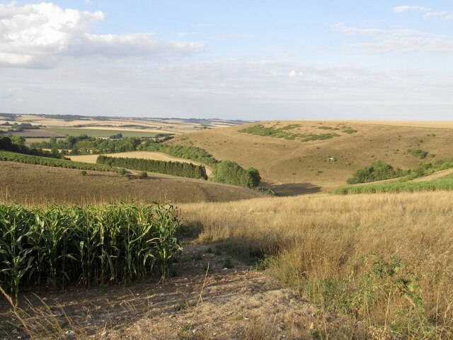
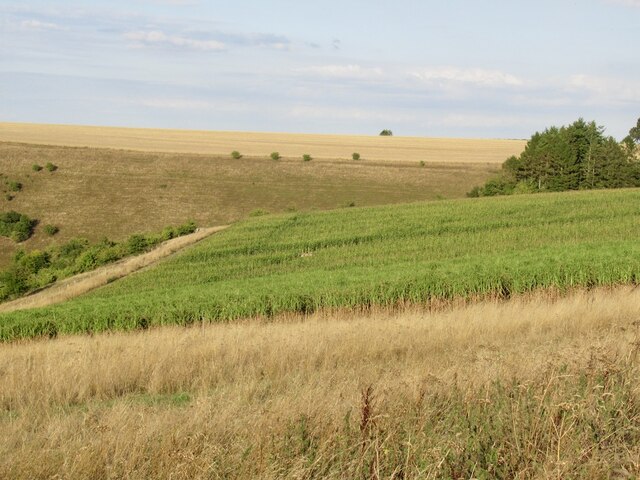
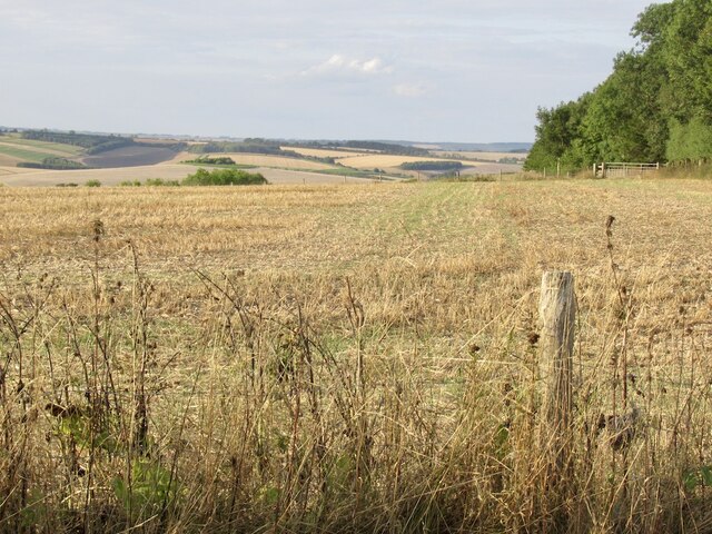
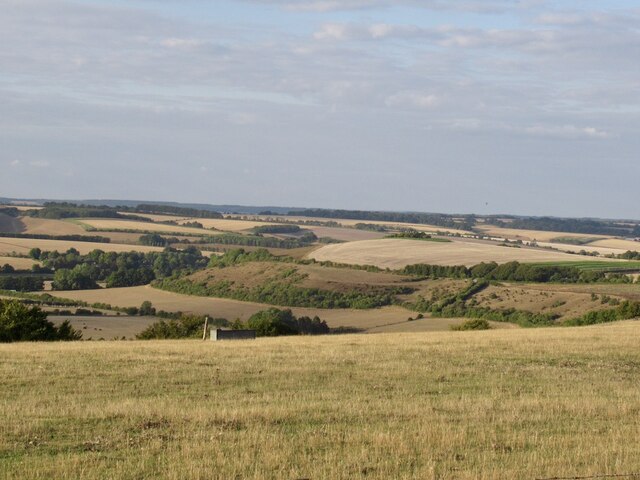
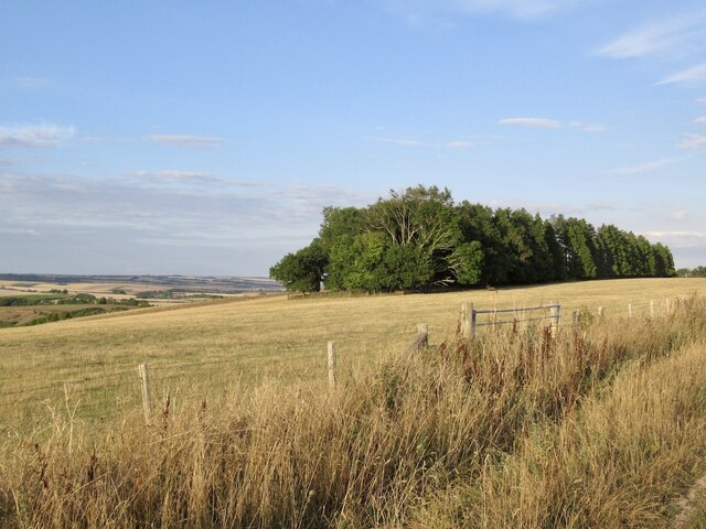
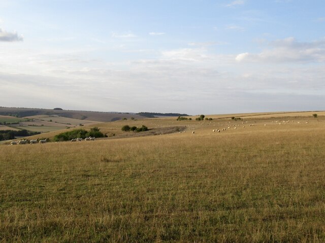
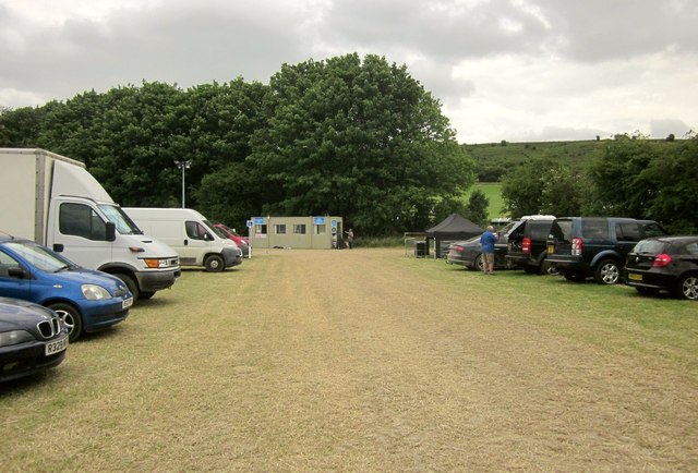
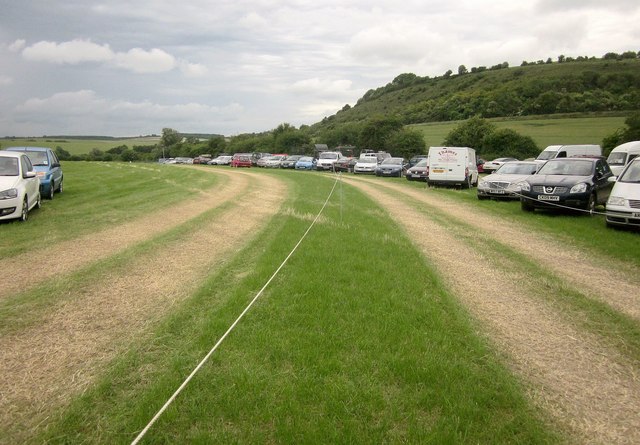
South Down is a picturesque area located in the county of Wiltshire, England. Situated in the southern part of the county, it is characterized by its stunning downs and moorland landscapes. The region boasts rolling hills, vast open spaces, and an abundance of natural beauty, making it a popular destination for nature enthusiasts and hikers.

The Downs in South Down are primarily composed of chalk, which gives the area a distinct appearance and fertile soil. This has led to the growth of various plant species, including an array of wildflowers and grasses. The downs are also home to a diverse range of wildlife, with sightings of rabbits, foxes, and various bird species being common.

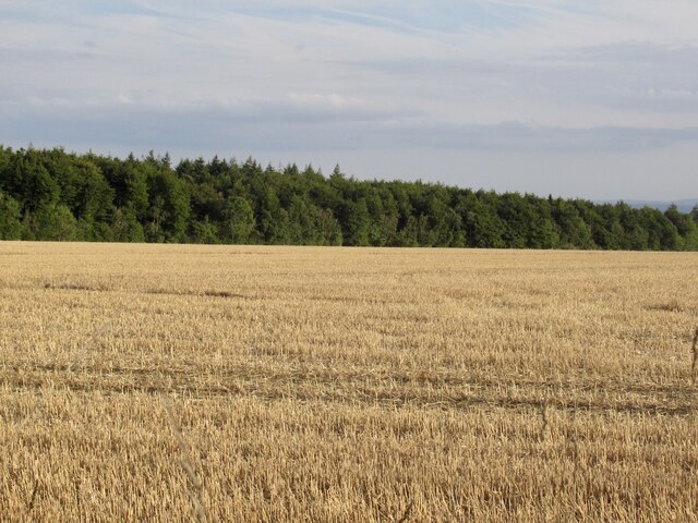
Adjacent to the downs is the moorland, which features a different terrain and vegetation. Moorland in South Down is characterized by its heather-covered hills and scattered patches of woodland. The moorland provides habitat for species such as red grouse, skylarks, and kestrels, making it a haven for birdwatchers.

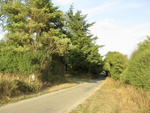
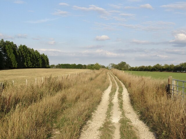
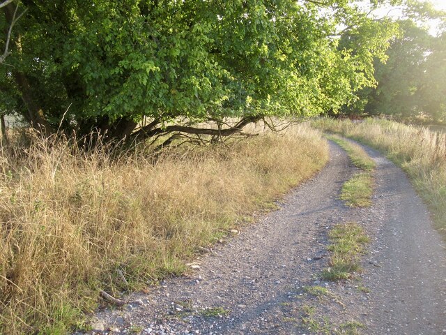
Throughout South Down, there are several walking trails and footpaths that allow visitors to explore and appreciate the natural beauty of the area. These trails often offer breathtaking panoramic views of the surrounding countryside, making them a popular choice for outdoor enthusiasts and photographers.

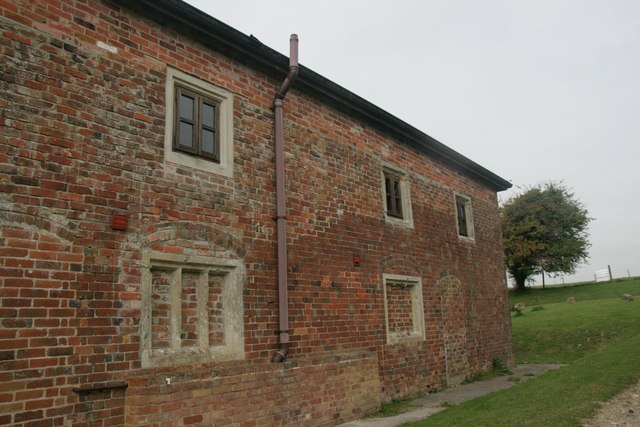
In addition to its natural splendor, South Down is also known for its historical significance. The region is dotted with ancient archaeological sites, including burial mounds, hill forts, and stone circles, evidence of the area's rich history and human habitation dating back thousands of years.

Overall, South Down, Wiltshire is a captivating destination that offers a unique blend of natural beauty, wildlife, and historical heritage, making it a must-visit for those seeking a tranquil and enriching experience.

If you have any feedback on the listing, please let us know in the comments section below.

South Down Images

Images are sourced within 2km of 50.99535/-2.0225343 or Grid Reference ST9821. Thanks to Geograph Open Source API. All images are credited.

Woodminton Down
Woodminton Down
Game cover crops, Woodminton Down
The Ox Drove A tarred section.
The Ox Drove
A tarred section.
Stubble and Stonedown Wood
Northward view from the Ox Drove
Field above Monk's Hole View north over a seemingly empty landscape from the Ox Drove.  There are villages, out of sight in the valleys where the water is.
Field above Monk's Hole
View north over a seemingly empty landscape from the Ox Drove. There are villages, out of sight in the valleys where the water is.
Copse on South Down
Copse on South Down
Ox Drove, South Down
Farm buildings near Bigley Barn
View over Cranbourne Chase South from the Ox Drove towards Rushmere woodlands.
View over Cranbourne Chase
South from the Ox Drove towards Rushmere woodlands.
Ox Drove, Trow Down
Ox Drove, Trow Down
Pincombe Down View from the Ox Drove towards Trow Down.
Pincombe Down
View from the Ox Drove towards Trow Down.
Ox Drove
Ox Drove
View towards Trow Down Mostly stubble but some parched pasture too.
View towards Trow Down
Mostly stubble but some parched pasture too.
Benchmark on Bigley Buildings, Berwick St John Ordnance Survey benchmark, described on database at <span class="nowrap"><a title="http://www.bench-marks.org.uk/bm70897" rel="nofollow ugc noopener" href="http://www.bench-marks.org.uk/bm70897">Link</a><img style="margin-left:2px;" alt="External link" title="External link - shift click to open in new window" src="https://s1.geograph.org.uk/img/external.png" width="10" height="10"/></span>. See also <a href="https://www.geograph.org.uk/photo/4699698">ST9721 : Bigley Buildings, near Berwick St John</a>.
Benchmark on Bigley Buildings, Berwick St John
Ordnance Survey benchmark, described on database at LinkExternal link. See also ST9721 : Bigley Buildings, near Berwick St John.
Bigley Buildings, near Berwick St John There is an Ordnance Survey cut benchmark on the far side of this attractive building. See <span class="nowrap"><a title="http://www.bench-marks.org.uk/bm70897" rel="nofollow ugc noopener" href="http://www.bench-marks.org.uk/bm70897">Link</a><img style="margin-left:2px;" alt="External link" title="External link - shift click to open in new window" src="https://s1.geograph.org.uk/img/external.png" width="10" height="10"/></span> for database description and 
<a href="https://www.geograph.org.uk/photo/4699692">ST9721 : Benchmark on Bigley Buildings, Berwick St John</a> for close-up view.
Bigley Buildings, near Berwick St John
There is an Ordnance Survey cut benchmark on the far side of this attractive building. See LinkExternal link for database description and ST9721 : Benchmark on Bigley Buildings, Berwick St John for close-up view.
Car park, Chalke Valley History Festival Another view across the car park shown in <a href="https://www.geograph.org.uk/photo/4543503">ST9822 : Car park, Chalke Valley History Festival</a>. the temporary structure is the site office. Behind the trees rise the slopes of Barrow Hill.
Car park, Chalke Valley History Festival
Another view across the car park shown in ST9822 : Car park, Chalke Valley History Festival. the temporary structure is the site office. Behind the trees rise the slopes of Barrow Hill.
Car park, Chalke Valley History Festival Tracks lead vehicles in and out of the car park field. On the right is Barrow Hill.
Car park, Chalke Valley History Festival
Tracks lead vehicles in and out of the car park field. On the right is Barrow Hill.
Show me another place!

South Down is located at Grid Ref: ST9821 (Lat: 50.99535, Lng: -2.0225343)

Unitary Authority: Wiltshire

Police Authority: Wiltshire

What 3 Words

///surpassed.earpiece.sourcing. Near Bower Chalke, Wiltshire

Nearby Locations

South Down

Related Wikis

Bowerchalke Downs

Bowerchalke Downs (grid reference SU004218) (also known as Woodminton, Marleycombe Down and Knowle Down), is a 134 hectares (330 acres) biological Site...

Pincombe Down

Pincombe Down (grid reference ST966217) is a 23.8 hectare biological Site of Special Scientific Interest in southwest Wiltshire, England, notified in 1971...

Alvediston Manor

Alvediston Manor, Alvediston, Wiltshire, England is an 18th-century house. From 1968 until his death in 1977, it was the home of the former prime minister...

Alvediston

Alvediston is a small village and civil parish in Wiltshire, England, about 7 miles (11 km) east of Shaftesbury and 11 miles (18 km) southwest of Salisbury...

Nearby Amenities

Located within 500m of 50.99535,-2.0225343
South Down
Ele: 229
Natural: peak
Lat/Long: 50.9945033/-2.0194208
The data included in this document is from www.openstreetmap.org. The data is made available under ODbL.

Have you been to South Down?

Leave your review of South Down below (or comments, questions and feedback).