Brocton Field
Downs, Moorland in Staffordshire Stafford
England
Brocton Field
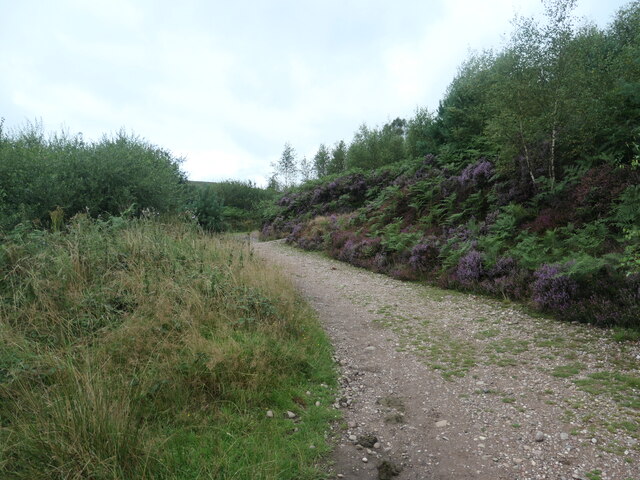
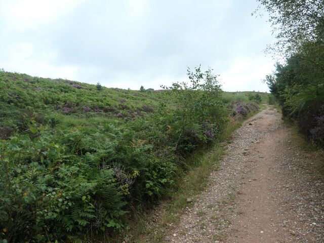
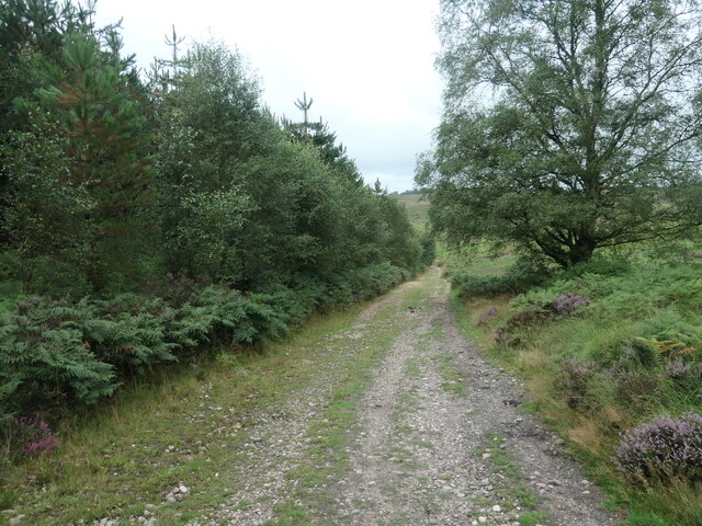
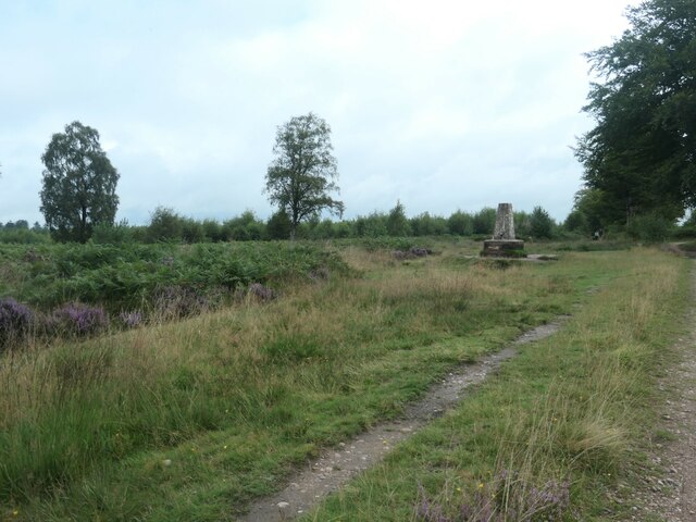
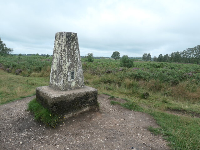
Brocton Field is a picturesque area located in Staffordshire, England. Spread across vast acres, the field is predominantly characterized by its rolling downs and expansive moorland. It is situated within the Cannock Chase Area of Outstanding Natural Beauty, renowned for its stunning landscapes and diverse wildlife.
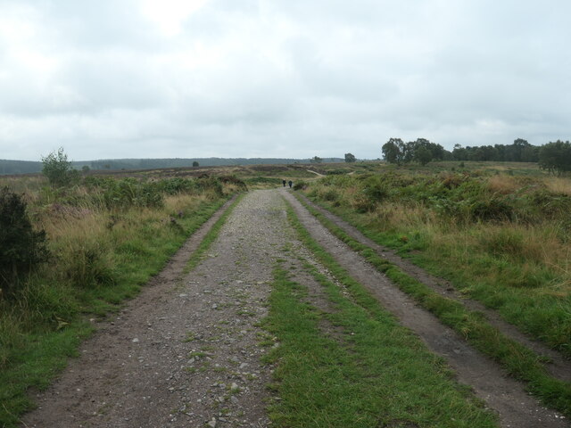
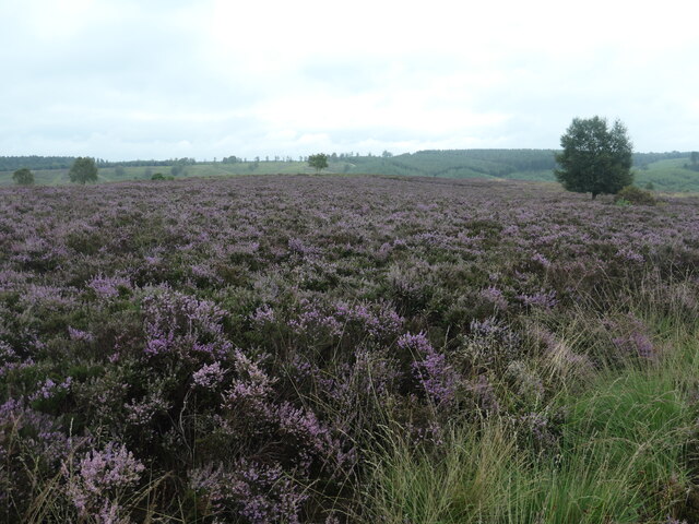
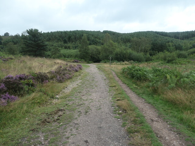
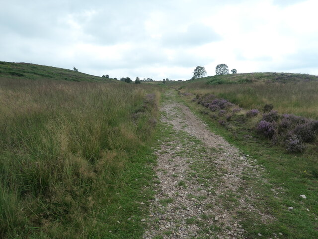
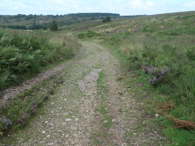
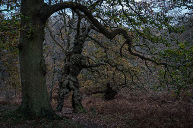
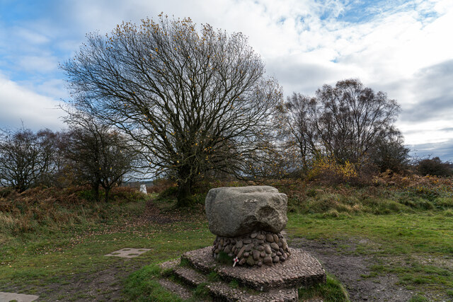
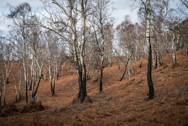
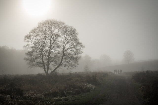
The field boasts a unique topography, with gentle slopes and undulating terrain that create a visually captivating panorama. Its downs are adorned with lush green grasses and scattered wildflowers, providing a haven for various plant species. The moorland, on the other hand, exhibits a more rugged and wild environment, characterized by heather and gorse bushes. This combination offers a striking contrast and adds to the field's overall charm.
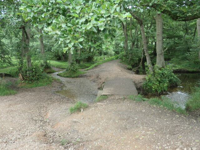
Brocton Field is a popular destination for nature enthusiasts, hikers, and cyclists who appreciate its natural beauty and tranquil ambiance. The field is intersected by numerous footpaths and trails, allowing visitors to explore the area and discover its hidden gems. It is also home to a diverse range of wildlife, including deer, rabbits, and a variety of bird species, making it a haven for wildlife enthusiasts and birdwatchers.
The field's location within the Cannock Chase Area of Outstanding Natural Beauty ensures that it is well-preserved and protected. As a result, it serves as a valuable habitat for both common and rare species, contributing to the region's biodiversity.
Overall, Brocton Field is a stunning natural landscape that showcases the beauty of Staffordshire's countryside. With its rolling downs, rugged moorland, and thriving wildlife, it offers visitors a chance to immerse themselves in nature and experience the tranquility of the area.
If you have any feedback on the listing, please let us know in the comments section below.
Brocton Field Images
Images are sourced within 2km of 52.761525/-2.0331667 or Grid Reference SJ9718. Thanks to Geograph Open Source API. All images are credited.
![Sher Brook, at the stepping stones Looking upstream [locally south].](https://s1.geograph.org.uk/geophotos/06/94/54/6945489_b6c7d9b6.jpg)
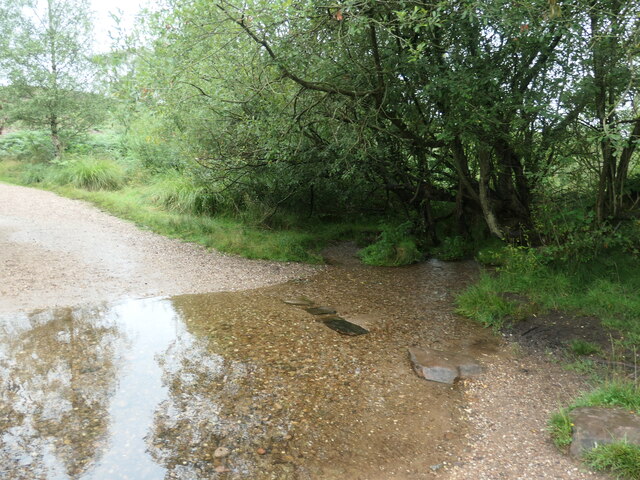
![Sher Brook, looking downstream [locally north] The brook is a civil parish boundary here, between Brocton and Rugeley.](https://s1.geograph.org.uk/geophotos/06/94/91/6949105_1d41f530.jpg)
Brocton Field is located at Grid Ref: SJ9718 (Lat: 52.761525, Lng: -2.0331667)
Administrative County: Staffordshire
District: Stafford
Police Authority: Staffordshire
What 3 Words
///caused.rephrase.bumps. Near Colwich, Staffordshire
Nearby Locations
Related Wikis

Brocton, Staffordshire
Brocton is a village and civil parish in the English county of Staffordshire. It is within the borough of Stafford. The village describes itself as the...

Cannock Chase German Military Cemetery
The Cannock Chase German Military Cemetery (grid reference SJ984157) is on Cannock Chase, Staffordshire, England. The cemetery contains nearly 5,000 burials...

Cannock Chase
Cannock Chase (grid reference SK000165), often referred to locally as The Chase, is a mixed area of countryside in the county of Staffordshire, England...

Bednall
Bednall is a village in Staffordshire, England. == Location == Bednall lies somewhat remote from main roads, in dairy-farming countryside some 2.5 miles...

Milford, Staffordshire
Milford is a village in the county of Staffordshire, England. It lies at the edge of Cannock Chase, on the A513 road between Stafford and Rugeley. Just...

Milford and Brocton railway station
Milford and Brocton railway station served the villages of Milford and Brocton in Staffordshire, England from 1877 to 1950 on the Trent Valley line....
Acton Trussell and Bednall
Acton Trussell and Bednall is a civil parish in the South Staffordshire district of Staffordshire, England. As the name indicates, it contains the two...

Milford Hall
Milford Hall is a privately owned 18th-century English country house at Milford, near Stafford. It is the family seat of the Levett Haszard family and...
Nearby Amenities
Located within 500m of 52.761525,-2.0331667Have you been to Brocton Field?
Leave your review of Brocton Field below (or comments, questions and feedback).