Foxham Common

Downs, Moorland in Wiltshire

England

Foxham Common

From a Swindon-Bristol train, fields near Friday Street Farm
From a Swindon-Bristol train, fields near Friday Street Farm Credit: Nigel Thompson

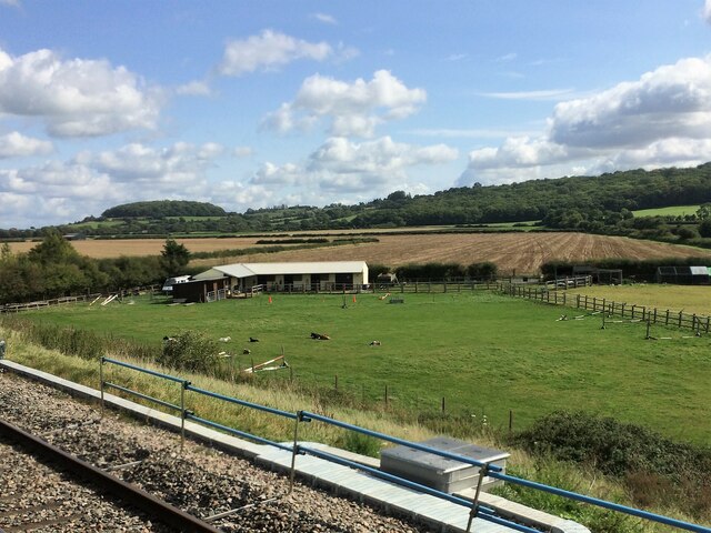
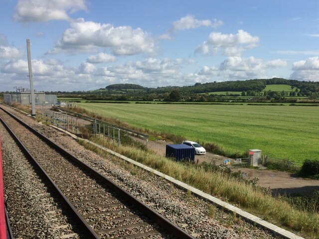
Foxham Common is a picturesque area located in the county of Wiltshire, England. Spanning across approximately 60 hectares, it is classified as a Site of Special Scientific Interest (SSSI) due to its unique combination of downs and moorland habitats. The common is situated on the southern edge of the Marlborough Downs, offering stunning panoramic views of the surrounding countryside.

The landscape of Foxham Common is characterized by undulating hills, interspersed with patches of heather and gorse. The area is rich in biodiversity, hosting a variety of plant and animal species. It is particularly renowned for its diverse bird population, including species such as skylarks, meadow pipits, and stonechats.

Visitors to the common can explore a network of footpaths and bridleways, allowing them to experience the natural beauty of the area firsthand. The common is also a popular destination for outdoor activities such as walking, horse riding, and birdwatching. The tranquil atmosphere and unspoiled scenery make it an ideal location for those seeking a peaceful retreat in nature.

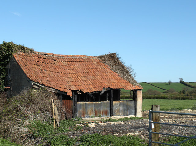
Historically, Foxham Common has been used for grazing livestock, and evidence of this traditional land management can still be seen today. The area is managed by the Wiltshire Wildlife Trust, ensuring the preservation of its unique ecosystems and the continuation of traditional land practices.

Overall, Foxham Common is a captivating natural site, offering both locals and tourists a chance to immerse themselves in the beauty of the Wiltshire countryside and witness the diversity of its flora and fauna.

If you have any feedback on the listing, please let us know in the comments section below.

Foxham Common Images

Images are sourced within 2km of 51.493307/-2.0343339 or Grid Reference ST9777. Thanks to Geograph Open Source API. All images are credited.

From a Swindon-Bristol train, fields near Friday Street Farm
Christian Malford railway station (site), Wiltshire Opened in 1926 by the Great Western Railway on the line from Swindon to Chippenham, this halt closed in 1965.
View north east from a passing train towards Dauntsey and Swindon. No trace apparently remains of the two parallel timber platforms, one of which was located where the stanchion now is, to the left of this image.
Christian Malford railway station (site), Wiltshire
Opened in 1926 by the Great Western Railway on the line from Swindon to Chippenham, this halt closed in 1965. View north east from a passing train towards Dauntsey and Swindon. No trace apparently remains of the two parallel timber platforms, one of which was located where the stanchion now is, to the left of this image.
From a Swindon-Bristol train, lineside trees near Foxham The line here passes a mixture of fields and woodland.
From a Swindon-Bristol train, lineside trees near Foxham
The line here passes a mixture of fields and woodland.
From a Swindon-Bristol train, ruin near Christian Farm
2011 : Old barn near Chestermans Farm On the road out of East Tytherton toward Charlcutt.
2011 : Old barn near Chestermans Farm
On the road out of East Tytherton toward Charlcutt.
2011 : Cyclist heading south on Hare Street Past Hare Street Farm.
2011 : Cyclist heading south on Hare Street
Past Hare Street Farm.
2011 : Chapel and cottages, Foxham At the eastern end of Foxham Common.
2011 : Chapel and cottages, Foxham
At the eastern end of Foxham Common.
2011 : Horses and riders approaching Wood Farm "I say, I say, my horse has no nose."
"Your horse has no nose! How does he smell?"
"Terrible."

Old music hall joke, revised.
2011 : Horses and riders approaching Wood Farm
"I say, I say, my horse has no nose." "Your horse has no nose! How does he smell?" "Terrible." Old music hall joke, revised.
2011 : Thornend, on the back road to Foxham The alternative route from Christian Malford.
A closer look at the cottage in <a href="https://www.geograph.org.uk/photo/310233">ST9778 : Thornend cottage</a>
2011 : Thornend, on the back road to Foxham
The alternative route from Christian Malford. A closer look at the cottage in ST9778 : Thornend cottage
2011 : South east near Chestermans Farm Looking toward Bremhill, or should that be Brem Hill?
The disused Wilts & Berks Canal passes across the picture, second hedgerow over, sign of a lock centre frame.
Looks like a good crop of sloes this year, but they, like the blackberry, are indigenous and usually produce well. Sloes grow on blackthorn, blackberries grow on bramble.
2011 : South east near Chestermans Farm
Looking toward Bremhill, or should that be Brem Hill? The disused Wilts & Berks Canal passes across the picture, second hedgerow over, sign of a lock centre frame. Looks like a good crop of sloes this year, but they, like the blackberry, are indigenous and usually produce well. Sloes grow on blackthorn, blackberries grow on bramble.
2011 : Field near Chestermans Farm Looking east of north toward Foxham.
2011 : Field near Chestermans Farm
Looking east of north toward Foxham.
2011 : Minor road to East Tytherton Passing Chestermans Farm.
2011 : Minor road to East Tytherton
Passing Chestermans Farm.
2011 : Minor road heading east from Chestermans Farm Toward Charlcutt Hill.
2011 : Minor road heading east from Chestermans Farm
Toward Charlcutt Hill.
2011 : Private car heading north on Hare Street Toward Foxham and/or Christian Malford.
Teal Farm is almost in sight.
Dandelions and blackthorn dominate.
2011 : Private car heading north on Hare Street
Toward Foxham and/or Christian Malford. Teal Farm is almost in sight. Dandelions and blackthorn dominate.
2011 : South east from Hare Street Toward Charlcutt Hill.
2011 : South east from Hare Street
Toward Charlcutt Hill.
2011 : Cattle pasture west of Hare Street The light is angled to show evidence of medieval strip farming, the end of which was brought about at least partly by the black death from 1350 onward.
2011 : Cattle pasture west of Hare Street
The light is angled to show evidence of medieval strip farming, the end of which was brought about at least partly by the black death from 1350 onward.
2011 : Lock Farm, near Foxham Near the bottom of Foxham Locks on the Wilts & Berks Canal. The farmer here has cheerfully endured considerable disturbance over the past 10 years (at least) caused by restoration of these locks by the Wilts & Berks Canal Trust.
2011 : Lock Farm, near Foxham
Near the bottom of Foxham Locks on the Wilts & Berks Canal. The farmer here has cheerfully endured considerable disturbance over the past 10 years (at least) caused by restoration of these locks by the Wilts & Berks Canal Trust.
2011 : Cyclist on Foxham Common Heading west toward the village.
Glad to say he was not exceeding the speed limit.
2011 : Cyclist on Foxham Common
Heading west toward the village. Glad to say he was not exceeding the speed limit.
Show me another place!

Foxham Common is located at Grid Ref: ST9777 (Lat: 51.493307, Lng: -2.0343339)

Unitary Authority: Wiltshire

Police Authority: Wiltshire

What 3 Words

///twit.majority.heartache. Near Sutton Benger, Wiltshire

Related Wikis

Foxham, Wiltshire

Foxham is a village in Bremhill civil parish in Wiltshire, England, about 5 miles (8.0 km) northeast of Chippenham and a similar distance northwest of...

Christian Malford Halt railway station

Christian Malford Halt served the village of Christian Malford, Wiltshire from 1926 to 1965. It was situated on the Great Western Main Line which runs...

Charlcutt

Charlcutt is a hamlet in the county of Wiltshire, England, 3 miles (4.8 km) northwest of Calne. It is part of the civil parish of Bremhill. Charlcutt...

Christian Malford

Christian Malford is a village and civil parish in the county of Wiltshire, England. The village lies about 4+1⁄2 miles (7 km) northeast of the town of...

Nearby Amenities

Located within 500m of 51.493307,-2.0343339
Lock: yes
Lat/Long: 51.4954261/-2.0280526
Pub
Foxham Inn
Lat/Long: 51.4942323/-2.0356717
Foxham
Is In: Wiltshire, England, UK
Place: village
Wikidata: Q5477174
Lat/Long: 51.4930992/-2.0362174
Booth: K6
Covered: booth
Disused Amenity: telephone
Man Made: telephone_box
Lat/Long: 51.4944065/-2.0358237
Post Box
Post Box Type: pillar
Royal Cypher: EIIR
Royal Cypher Wikidata: Q33102113
Lat/Long: 51.4944177/-2.0358358
Bench
Lat/Long: 51.494436/-2.0358443
Post Office
Foxham Post Office
Addr City: Chippenham
Addr Housename: The Reading Room, Foxham Village Hall
Addr Postcode: SN15 4NH
Addr Suburb: Foxham
Brand: Post Office
Brand Wikidata: Q1783168
Opening Hours: Th 09:00-12:00
Ref Pol Id: 96555
Lat/Long: 51.4948908/-2.0301761
The data included in this document is from www.openstreetmap.org. The data is made available under ODbL.

Have you been to Foxham Common?

Leave your review of Foxham Common below (or comments, questions and feedback).