Braes o' Waterton
Downs, Moorland in Aberdeenshire
Scotland
Braes o' Waterton

Braes o' Waterton is a picturesque area located in Aberdeenshire, Scotland. Situated amidst the Downs and Moorland, it offers breathtaking views and an abundance of natural beauty. The area is characterized by rolling hills, vast open fields, and scattered woodlands, creating a serene and idyllic landscape.
The Braes o' Waterton is known for its diverse flora and fauna. The moorland is home to a variety of heather and wildflowers, painting the landscape with vibrant colors during the summer months. This, in turn, attracts a range of bird species, including grouse and peregrine falcons, making it a popular spot for birdwatchers and nature enthusiasts.
The area is also steeped in history and folklore. Ruins of ancient stone circles and standing stones can be found scattered throughout the Braes o' Waterton, hinting at its rich historical significance. Local legends and tales have been passed down through generations, adding a touch of mystique to the area's charm.
For outdoor enthusiasts, Braes o' Waterton offers ample opportunities for activities such as hiking, cycling, and picnicking. The well-maintained trails provide access to stunning viewpoints, allowing visitors to fully immerse themselves in the natural surroundings. Whether it's a leisurely stroll or a more challenging hike, there is something for everyone to enjoy.
In summary, Braes o' Waterton is a captivating destination in Aberdeenshire, combining stunning natural beauty, rich history, and outdoor recreational opportunities. It is a place where one can escape the hustle and bustle of everyday life and immerse themselves in the tranquility of the Scottish countryside.
If you have any feedback on the listing, please let us know in the comments section below.
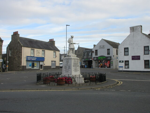
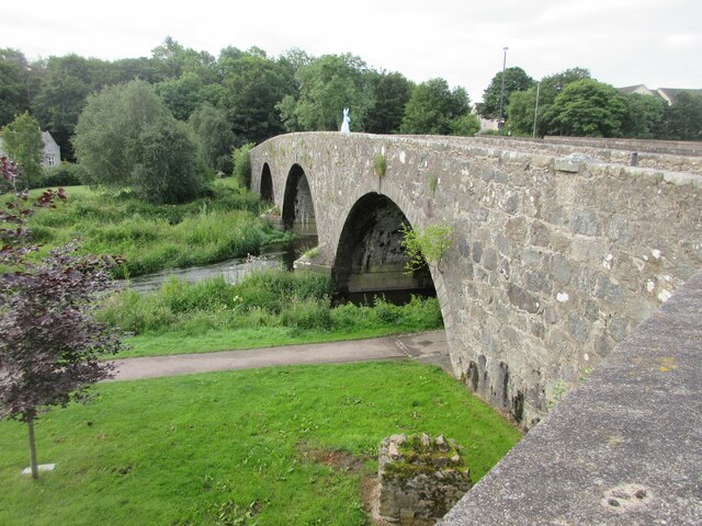
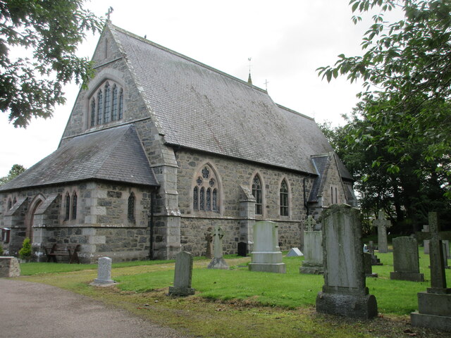
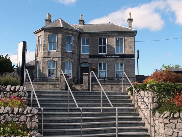
Braes o' Waterton Images
Images are sourced within 2km of 57.362845/-2.0402953 or Grid Reference NJ9730. Thanks to Geograph Open Source API. All images are credited.


Braes o' Waterton is located at Grid Ref: NJ9730 (Lat: 57.362845, Lng: -2.0402953)
Unitary Authority: Aberdeenshire
Police Authority: North East
What 3 Words
///film.grit.spurted. Near Ellon, Aberdeenshire
Nearby Locations
Related Wikis

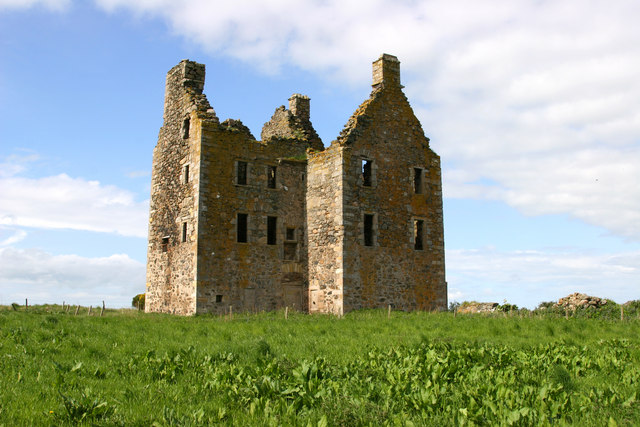
Waterton Castle
Waterton Castle is a ruined 17th-century tower house, about 1 mile (1.6 km) east of Ellon, Aberdeenshire, Scotland, north of the River Ythan. == History... ==
Ellon United F.C.
Ellon United Football Club is a Scottish football club from the town of Ellon, Aberdeenshire. Members of the Scottish Junior Football Association, they...

Ellon Academy
Ellon Academy is a secondary comprehensive school in the Aberdeenshire town of Ellon. In August 2015, the school moved to its new purpose-built campus...
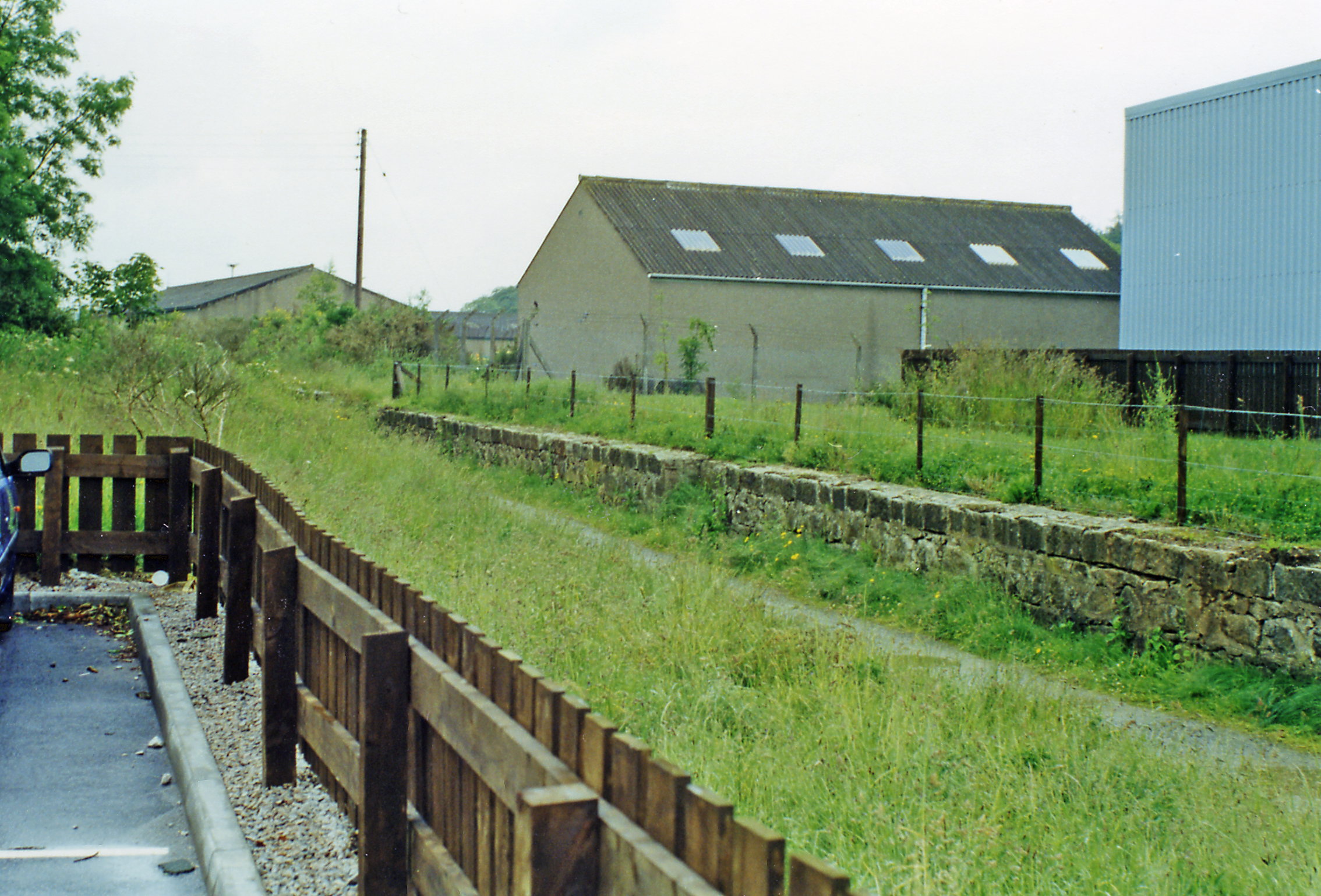
Auchmacoy railway station
Auchmacoy railway station was a railway station in Crawhead, Aberdeenshire, near the Burn of Auchmacoy from which the station took its name. It was located...
Ellon railway station
Ellon railway station was a railway station in Ellon, Aberdeenshire, Scotland. == History == Ellon Railway Station (originally Ellon for Cruden) was situated...
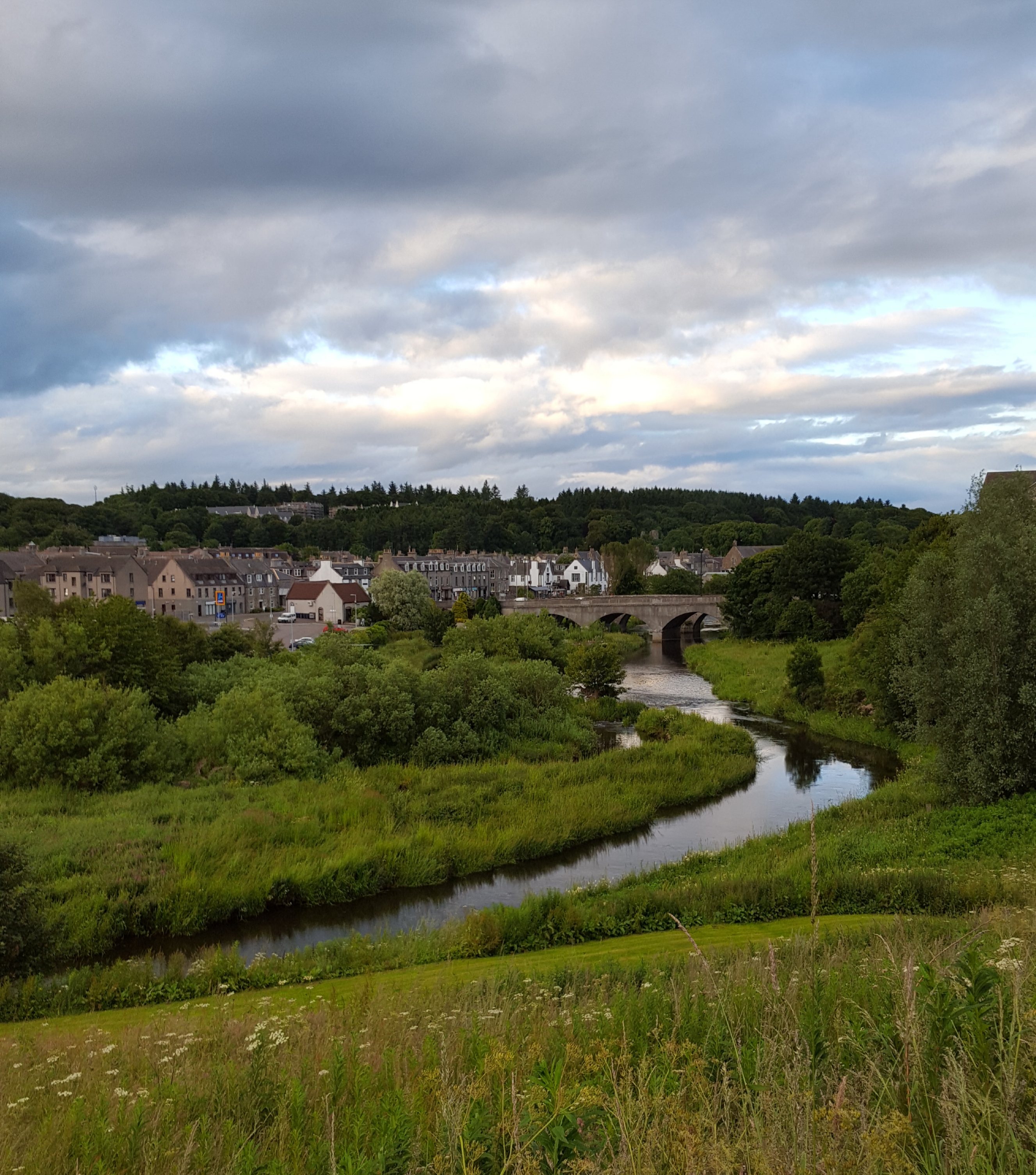
Ellon, Aberdeenshire
Ellon (Scottish Gaelic: Eilean) is a town in Aberdeenshire, Scotland, approximately 16 miles (26 kilometres) north of Aberdeen, lying on the River Ythan...
Knockhall Castle
Knockhall Castle is a historic Scottish castle near to Newburgh, Aberdeenshire. It was built by William Sinclair, 5th Lord Sinclair of Newburgh in 1565...
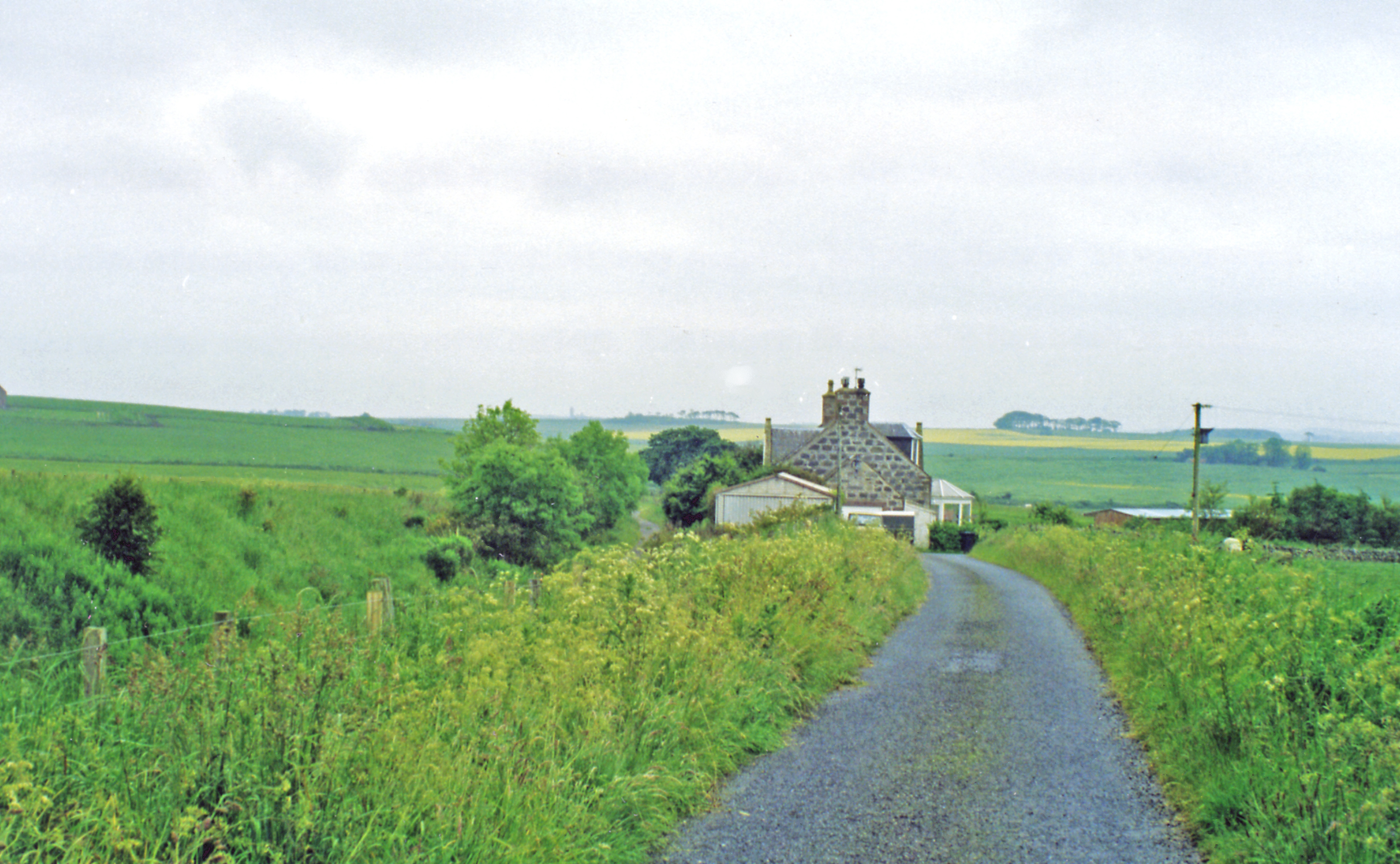
Esslemont railway station
Esslemont railway station was a railway station in Esslemont, Aberdeenshire. == History == The station was opened on 18 July 1861 by the Formartine and...
Nearby Amenities
Located within 500m of 57.362845,-2.0402953Have you been to Braes o' Waterton?
Leave your review of Braes o' Waterton below (or comments, questions and feedback).