Bakers End

Settlement in Hertfordshire East Hertfordshire

England

Bakers End

Field by Scholar's Hill, Wareside
Field by Scholar's Hill, Wareside Credit: David Howard

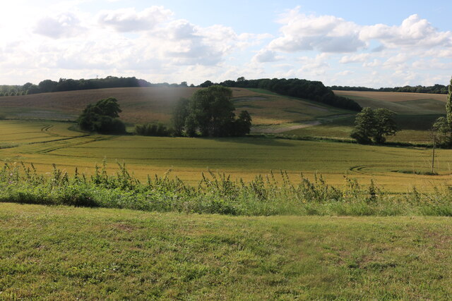
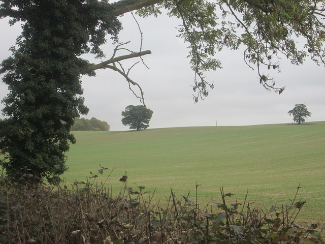
Bakers End is a small village located in the county of Hertfordshire, England. Situated approximately 25 miles north of London, Bakers End is known for its picturesque surroundings and tranquil atmosphere. The village is nestled in the rural countryside, surrounded by rolling hills, fields, and woodlands.

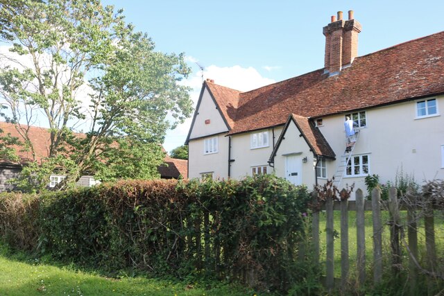
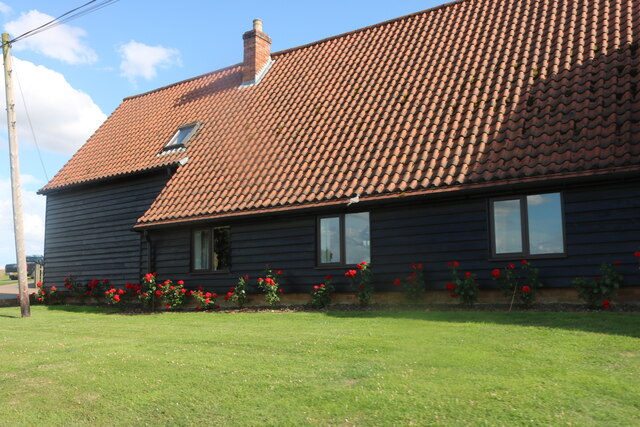
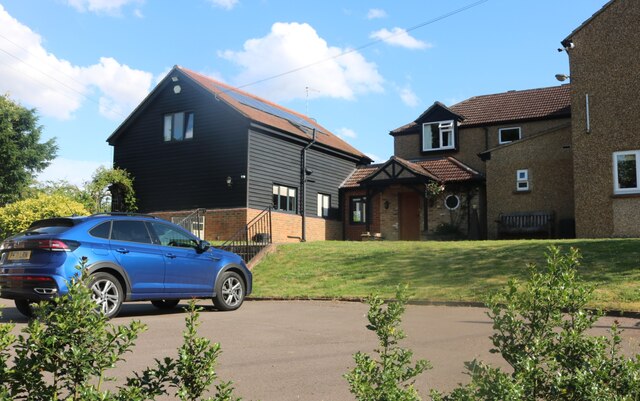
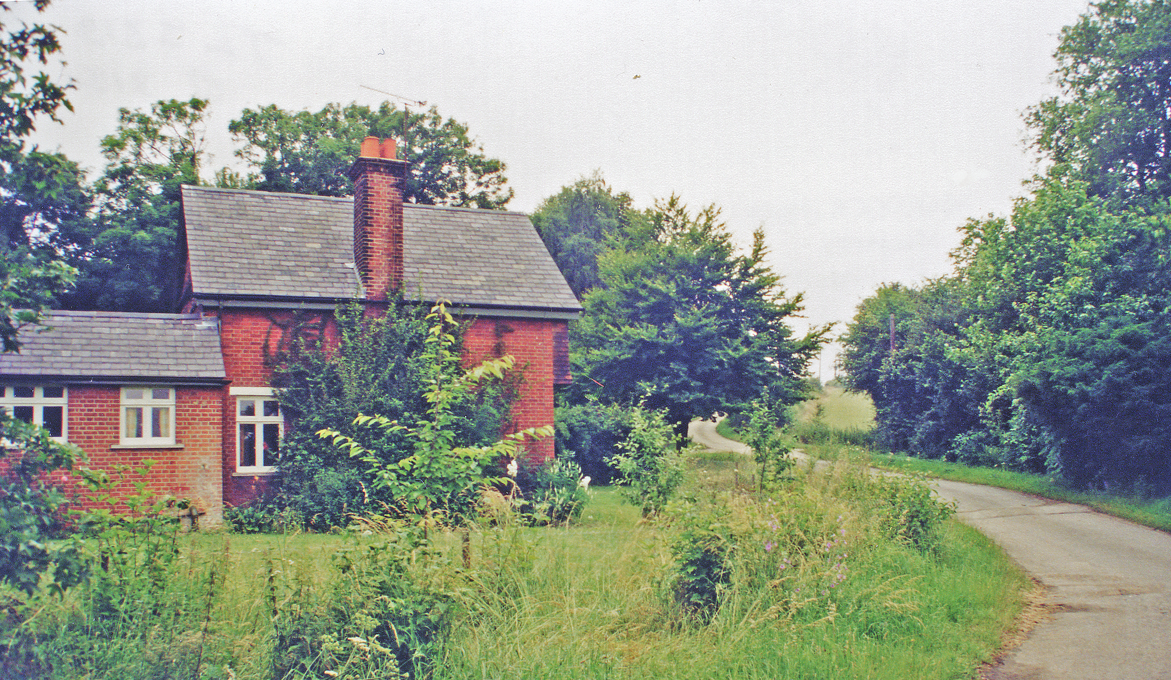
Bakers End is home to a close-knit community, with a population of around 500 residents. The village is characterized by its charming thatched cottages and historic buildings, which reflect its long-standing heritage. The architecture of the village is predominantly traditional, with a mix of styles ranging from Tudor to Georgian.

Despite its small size, Bakers End offers a range of amenities for its residents. The village boasts a local pub, which serves as a social hub for the community. Additionally, there is a village hall that hosts various events and gatherings throughout the year. The village also has a primary school, providing education for the local children.

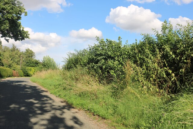
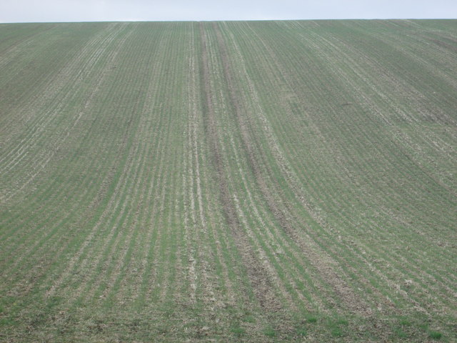
Nature enthusiasts will appreciate the natural beauty that surrounds Bakers End. The village is located near several nature reserves and walking trails, offering opportunities for outdoor activities and exploration. The Hertfordshire countryside provides a peaceful and idyllic backdrop for those seeking a respite from the bustling city life.

Overall, Bakers End is a charming village that offers a tranquil escape from the urban environment. Its rich history, stunning landscapes, and tight-knit community make it a desirable place to live for those seeking a rural lifestyle.

If you have any feedback on the listing, please let us know in the comments section below.

Bakers End Images

Images are sourced within 2km of 51.825336/0.01554148 or Grid Reference TL3916. Thanks to Geograph Open Source API. All images are credited.

Field by Scholar's Hill, Wareside
The B1004, Wareside By the road to Babbs Green
The B1004, Wareside
By the road to Babbs Green
Scholar's Hill, Wareside
Field by Scholar's Hill, Wareside
Junction on Ware Road, Wareside
Fanhams Hall Now a Country House Hotel, this C18th Jacobean style mansion (remodelled in 1901) is Grade II listed. It was the former home to Henry Page-Croft, Winston Churchill's Under Secretary of State for War.
Fanhams Hall
Now a Country House Hotel, this C18th Jacobean style mansion (remodelled in 1901) is Grade II listed. It was the former home to Henry Page-Croft, Winston Churchill's Under Secretary of State for War.
Fanhams Hall & Formal Gardens Just a small part of the gardens of <a href="https://www.geograph.org.uk/photo/7380046">TL3715 : Fanhams Hall</a>
Fanhams Hall & Formal Gardens
Just a small part of the gardens of TL3715 : Fanhams Hall
The Courtyard at Fanhams Hall The courtyard of <a href="https://www.geograph.org.uk/photo/7380046">TL3715 : Fanhams Hall</a>
The Courtyard at Fanhams Hall
The courtyard of TL3715 : Fanhams Hall
Cottage by Swangles Farm, Cold Christmas
Converted barn at Swangles Farm, Cold Christmas
View west from Cold Christmas Lane
House with barn conversion in Cold Christmas
Cold Christmas Lane
Cold Christmas Lane
Furrowed field off the Hertfordshire Way
A church spire between two trees The spire of the church at Widford just shows above the skyline from one part of the Hertfordshire Way.
A church spire between two trees
The spire of the church at Widford just shows above the skyline from one part of the Hertfordshire Way.
Bridge over disused railway on the old St Margaret's to Buntingford branch line This bridged spans the cutting near the old Mardock station on the Buntingford Branch line from St Margaret's (The Bunt).
Bridge over disused railway on the old St Margaret's to Buntingford branch line
This bridged spans the cutting near the old Mardock station on the Buntingford Branch line from St Margaret's (The Bunt).
Ware Road before Wareside
Show me another place!

Bakers End is located at Grid Ref: TL3916 (Lat: 51.825336, Lng: 0.01554148)

Administrative County: Hertfordshire

District: East Hertfordshire

Police Authority: Hertfordshire

What 3 Words

///flood.swan.tooth. Near Ware, Hertfordshire

Related Wikis

Wareside

Wareside is a small village and civil parish in the East Hertfordshire district, in the county of Hertfordshire, England. The population of the civil parish...

Hertford and Stortford (UK Parliament constituency)

Hertford and Stortford is a constituency currently represented in the House of Commons of the UK Parliament since 2019 by Julie Marson of the Conservative...

Mardock railway station

Mardock railway station served the village of Wareside, Hertfordshire, England, from 1863 to 1964 by the Buntingford branch line. == History == The station...

Cold Christmas

Cold Christmas is a small hamlet in the civil parish of Thundridge, in the East Hertfordshire district, in the county of Hertfordshire, England. It is...

Widford railway station

Widford railway station served the village of Widford, Hertfordshire, England, from 1863 to 1964 on the Buntingford branch line. == History == The station...

Babbs Green

Babbs Green is a hamlet in the civil parish of Wareside, in the East Hertfordshire district of Hertfordshire, England, located around 3 miles (5 km) north...

Bakers End

Bakers End is a hamlet in the civil parish of Wareside, in the East Hertfordshire district, in the county of Hertfordshire, England.
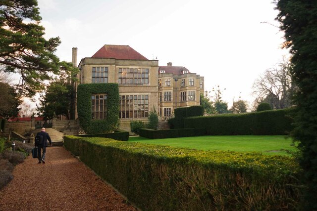
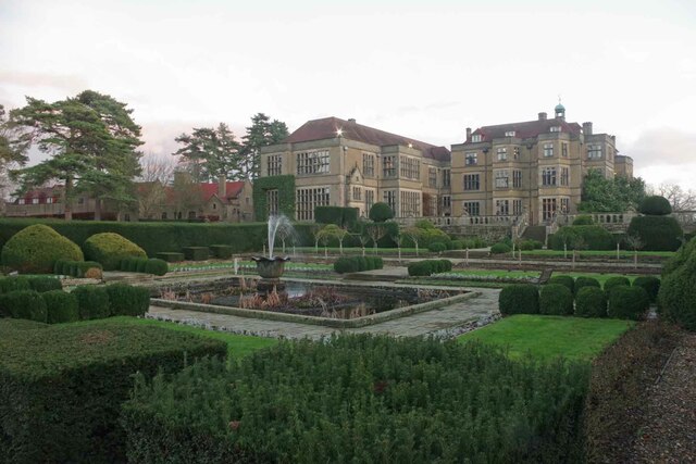
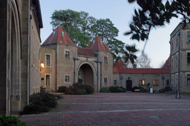
Fanhams Hall

Fanhams Hall is an 18th-century Queen Anne House-style country house in Wareside, Hertfordshire in the south east of England. It is a Grade II* listed...

Nearby Amenities

Located within 500m of 51.825336,0.01554148
Post Box
Babbs Green
Collection Times: Mo-Fr 09:00; Sa 07:00
Ref: SG12 116
Royal Cypher: EIIR
Royal Cypher Wikidata: Q33102113
Lat/Long: 51.8264299/0.0224664
Kingham Road
Naptan AtcoCode: 210021303087
Naptan Bearing: NW
Naptan BusStopType: CUS
Naptan CommonName: Kingham Road
Naptan Crossing: opp Appleton Farm
Naptan Indicator: adj
Naptan Landmark: opp Appleton Farm
Naptan NaptanCode: hrtgtdpj
Naptan ShortCommonName: NA
Naptan Street: Fanhams Hall Road
Naptan Verified: no
Source: naptan_import
Lat/Long: 51.8272102/0.0203661
Bus Stop
Kingham Road
Bus: yes
Naptan AtcoCode: 210021309497
Naptan Bearing: SE
Naptan CommonName: Kingham Road
Naptan Crossing: Appleton Farm
Naptan Indicator: opp
Naptan Landmark: Appleton Farm
Naptan NaptanCode: hrtdpjgp
Naptan ShortCommonName: NA
Naptan Street: Fanhams Hall Road
Naptan Verified: no
Public Transport: platform
Source: naptan_import
Lat/Long: 51.8272808/0.0204419
Babbs Green
Place: hamlet
Wikidata: Q4837607
Lat/Long: 51.8266001/0.0213918
Barrier: kissing_gate
Foot: yes
Source: GPS
Lat/Long: 51.8267453/0.0168553
Material: wood
Power: pole
Lat/Long: 51.8261472/0.0180596
Material: wood
Power: pole
Lat/Long: 51.8225535/0.0182166
Material: wood
Power: pole
Lat/Long: 51.8215787/0.0130708
Material: wood
Power: pole
Lat/Long: 51.8218108/0.013972
Material: wood
Power: pole
Lat/Long: 51.8236444/0.0169761
Material: wood
Power: pole
Lat/Long: 51.8215565/0.0172604
Material: wood
Power: pole
Lat/Long: 51.8216748/0.015635
Material: wood
Power: pole
Lat/Long: 51.8231072/0.0176038
Barrier: kissing_gate
Foot: yes
Source: GPS
Lat/Long: 51.8278038/0.016451
Barrier: kissing_gate
Foot: yes
Source: GPS
Lat/Long: 51.8283251/0.0162069
Material: wood
Power: pole
Lat/Long: 51.8282093/0.0145403
Material: wood
Power: pole
Lat/Long: 51.8292354/0.0140843
Power: pole
Lat/Long: 51.8283585/0.0198698
Material: wood
Power: pole
Lat/Long: 51.8295362/0.0154093
Material: wood
Power: pole
Lat/Long: 51.8290223/0.015927
Material: wood
Power: pole
Lat/Long: 51.8282002/0.0176395
Material: wood
Power: pole
Lat/Long: 51.8283601/0.016792
Material: wood
Power: pole
Lat/Long: 51.8286912/0.0164359
Material: wood
Power: pole
Lat/Long: 51.8274832/0.0167289
Material: wood
Power: pole
Lat/Long: 51.8275263/0.0184697
Material: wood
Power: pole
Lat/Long: 51.8274418/0.017606
Material: wood
Power: pole
Lat/Long: 51.827852/0.01737
Material: wood
Power: pole
Lat/Long: 51.8276523/0.0184992
Power: pole
Lat/Long: 51.8275578/0.019092
Power: pole
Lat/Long: 51.8275292/0.0192241
Material: wood
Power: pole
Lat/Long: 51.8268168/0.0186574
Material: wood
Power: pole
Lat/Long: 51.8253522/0.0174102
Material: wood
Power: pole
Lat/Long: 51.8244827/0.0171923
Power: pole
Lat/Long: 51.8222595/0.020594
Material: wood
Power: pole
Lat/Long: 51.8221037/0.0194004
Material: wood
Power: pole
Lat/Long: 51.821821/0.0182953
Power: pole
Lat/Long: 51.8280675/0.0161657
Power: pole
Lat/Long: 51.8278512/0.0146972
Booth: K6
Covered: booth
Disused Amenity: telephone
Man Made: telephone_box
Lat/Long: 51.8265422/0.0225525
Newhall Green
Place: locality
Lat/Long: 51.8279343/0.0140103
The data included in this document is from www.openstreetmap.org. The data is made available under ODbL.

Have you been to Bakers End?

Leave your review of Bakers End below (or comments, questions and feedback).