Ancroft Moor
Downs, Moorland in Northumberland
England
Ancroft Moor
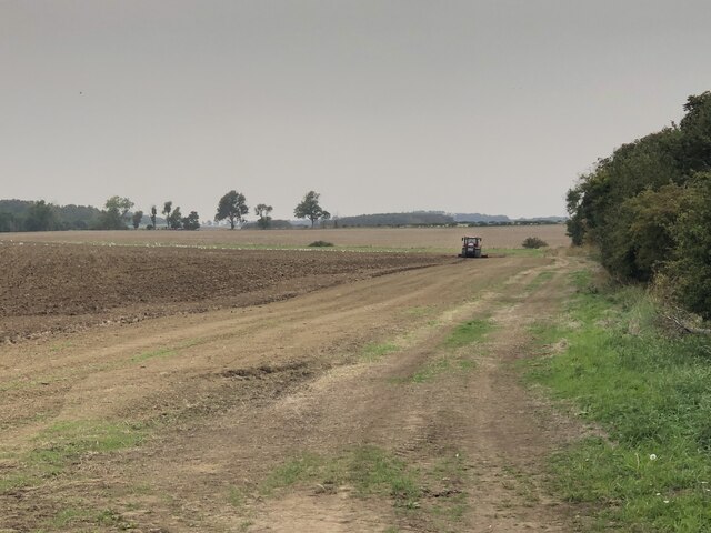
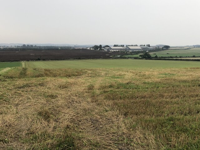
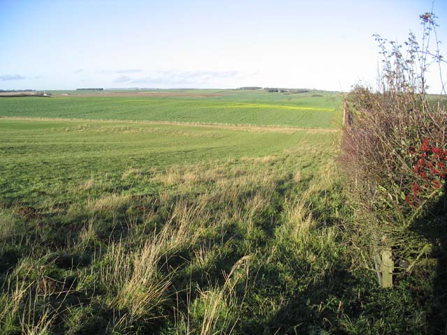
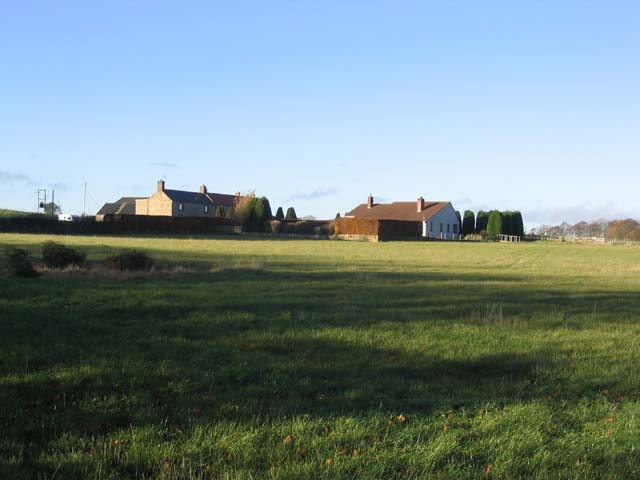
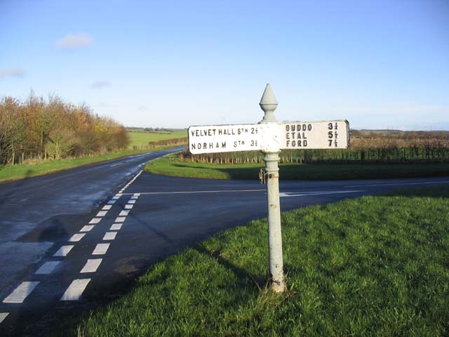
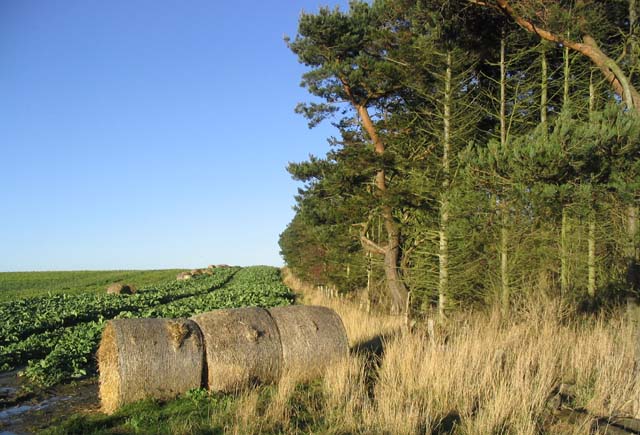
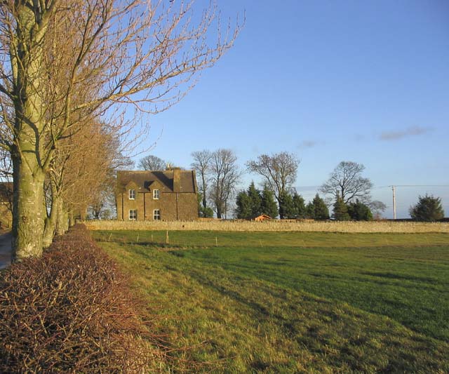
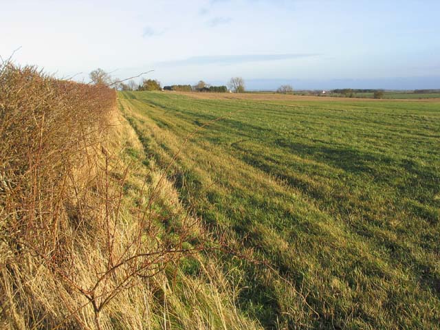
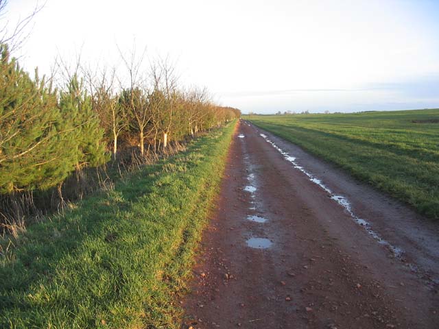
Ancroft Moor, located in the county of Northumberland, is a picturesque expanse of downs and moorland that offers breathtaking views and a tranquil atmosphere. Stretching across an area of approximately 4 square kilometers, it is nestled within the rolling countryside of northern England.
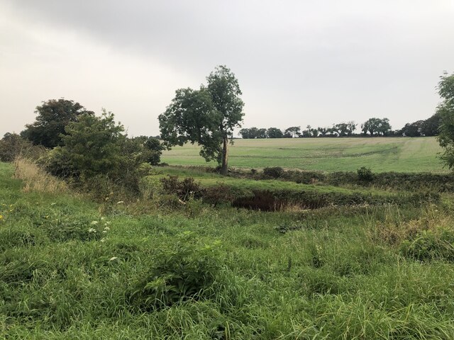
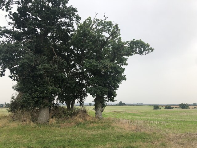
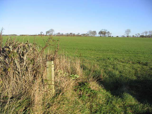
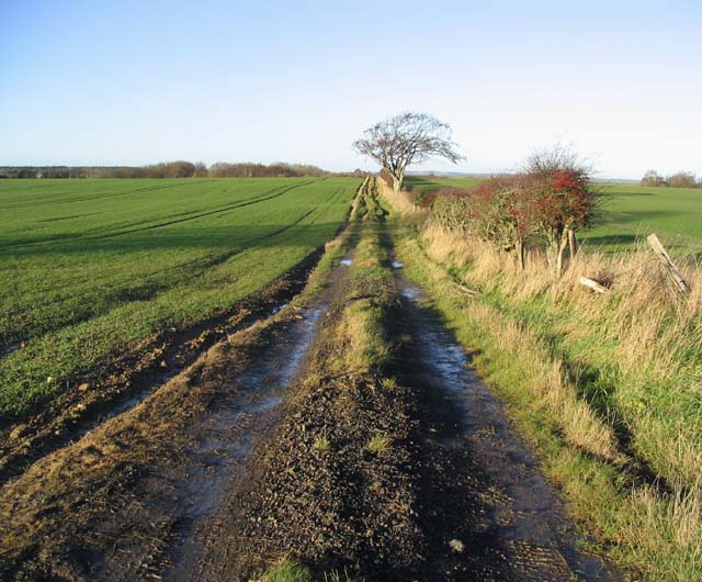
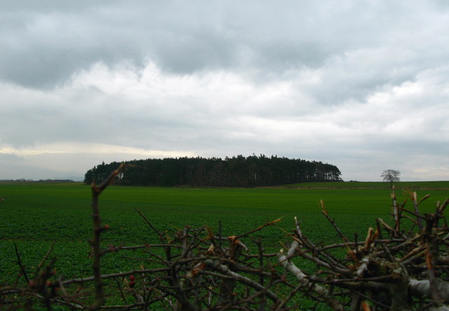
The terrain of Ancroft Moor is characterized by its undulating hills and wide open spaces. Heather-covered moorland dominates the landscape, creating a stunning carpet of vibrant purple hues during the summer months. The moorland is interspersed with patches of fertile grassland, providing grazing opportunities for livestock.
The area is renowned for its diverse wildlife, making it a haven for nature enthusiasts. Rare bird species, such as the merlin and curlew, can often be spotted soaring above the moorland. Additionally, the moorland is home to various small mammals, including the brown hare and red fox.
Ancroft Moor is also rich in history, with evidence of human occupation dating back thousands of years. Ancient burial mounds and prehistoric settlements have been discovered in the vicinity, offering insights into the lives of early inhabitants. Visitors can explore these archaeological sites and learn about the region's fascinating past.
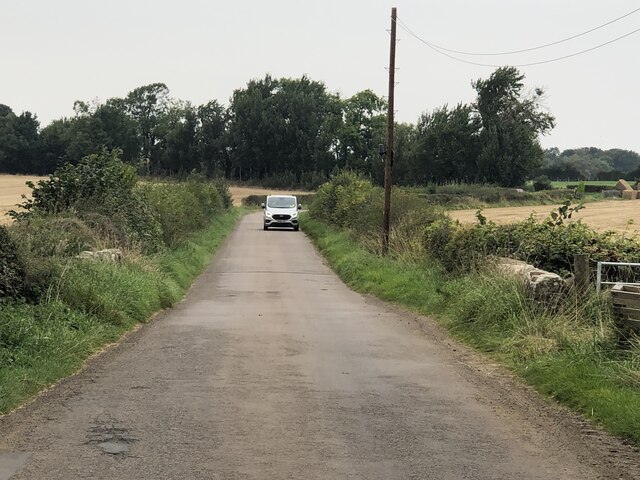
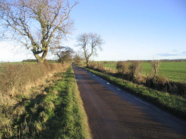
The moorland provides excellent opportunities for outdoor activities, such as hiking and birdwatching. Several well-maintained footpaths and trails wind their way through the landscape, allowing visitors to explore the area's natural beauty at their own pace.
Overall, Ancroft Moor is a captivating destination that showcases the raw beauty of Northumberland's countryside. Whether one seeks a peaceful retreat or an adventure in nature, this downs and moorland offers a unique and enriching experience.
If you have any feedback on the listing, please let us know in the comments section below.
Ancroft Moor Images
Images are sourced within 2km of 55.695717/-2.0477316 or Grid Reference NT9744. Thanks to Geograph Open Source API. All images are credited.
Ancroft Moor is located at Grid Ref: NT9744 (Lat: 55.695717, Lng: -2.0477316)
Unitary Authority: Northumberland
Police Authority: Northumbria
What 3 Words
///chefs.repayment.composed. Near Ancroft, Northumberland
Nearby Locations
Related Wikis

Ancroft Northmoor
Ancroft Northmoor is a village in Northumberland, England. The population of the Civil Parish taken at the 2011 census was 895. == Governance == Ancroft...

Norham and Islandshires Rural District
Norham and Islandshires was a rural district in Northumberland, England from 1894 to 1974.The district was formed under the Local Government Act 1894 from...

Ancroft
Ancroft is a village and civil parish (which includes the village of Scremerston) in Northumberland, England. Prior to 1844, Ancroft lay within the Islandshire...
Berrington, Northumberland
Berrington is a village in Northumberland, in England. It is situated to the south of Berwick-upon-Tweed, inland from the North Sea coast. == Governance... ==

Shoreswood
Shoreswood is a place and civil parish about 6 miles from Berwick-upon-Tweed, in the county of Northumberland, England. The parish includes the hamlets...

Duddo
Duddo is a village and civil parish in Northumberland, about 8 miles (13 km) southwest of Berwick-upon-Tweed. == History == Duddo Five Stones is a stone...
Duddo Tower
Duddo Tower is a Scheduled Ancient Monument and a Grade II listed building comprising the ruinous remains of an ancient pele tower and 16th century tower...

Bowsden
Bowsden is a village and civil parish in Northumberland, England. It is about 6 miles (10 km) to the south of Berwick-upon-Tweed, inland from the North...
Have you been to Ancroft Moor?
Leave your review of Ancroft Moor below (or comments, questions and feedback).