Low House Moor

Downs, Moorland in Lancashire

England

Low House Moor

Windy Hill Mast View of Windy Hill Mast (<a href="https://www.geograph.org.uk/photo/3488592">SD9814 : Windy Hill</a>) seen from alongside Piethorne Reservoir.
Windy Hill Mast Credit: Peter McDermott

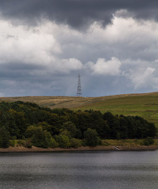
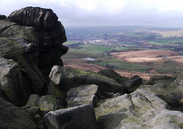
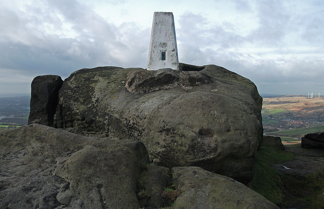
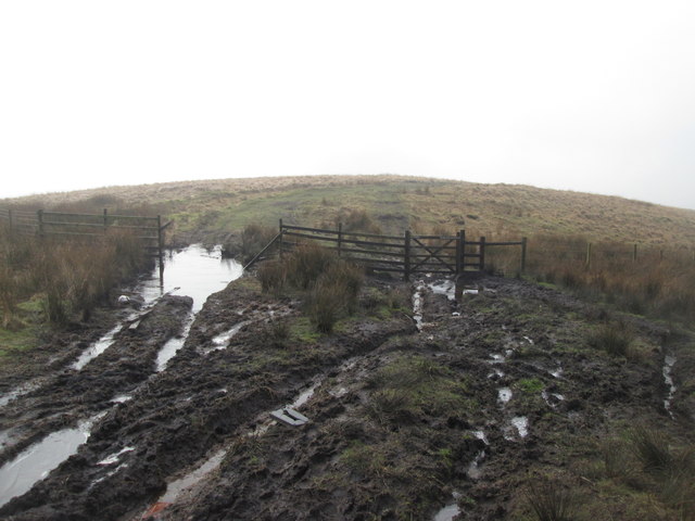
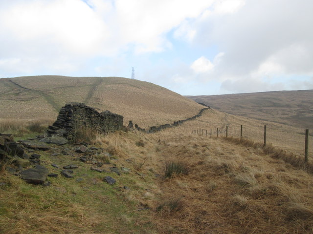
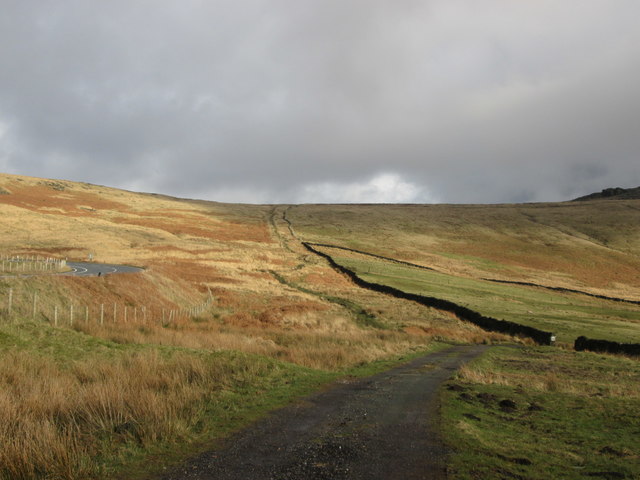
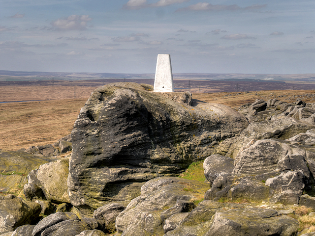
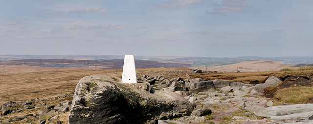
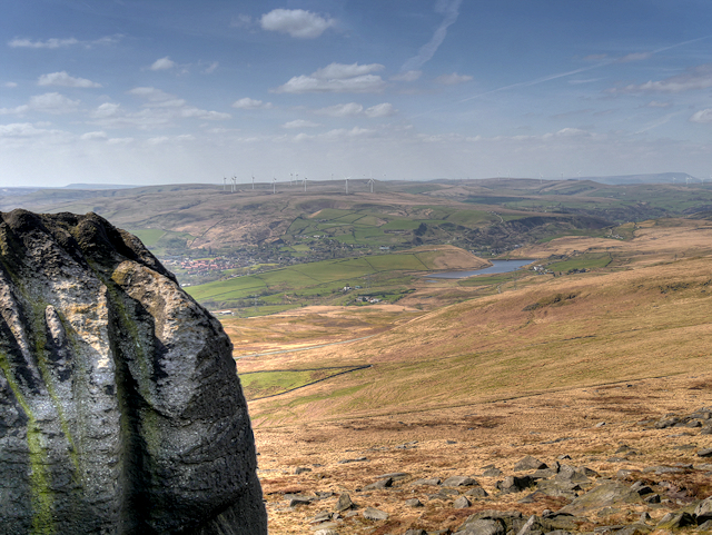
Low House Moor is a picturesque area located in Lancashire, England. This vast expanse of moorland is characterized by its rolling hills, heather-covered landscapes, and stunning views of the surrounding countryside. The moor is home to a variety of wildlife, including birds of prey, sheep, and ponies.

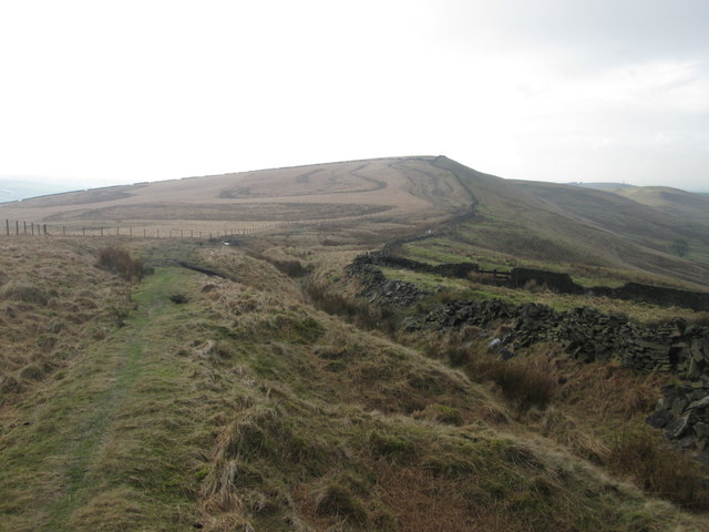
The area is popular with hikers and nature enthusiasts, who come to explore the numerous walking trails that crisscross the moor. One of the most popular routes is the Lancashire Way, which offers breathtaking views of the surrounding countryside and allows visitors to immerse themselves in the beauty of the moor.

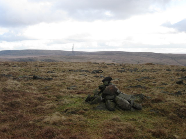
Low House Moor is also known for its historic landmarks, including ancient stone circles and burial mounds that date back thousands of years. These sites provide a glimpse into the area's rich history and offer visitors a chance to connect with the past.

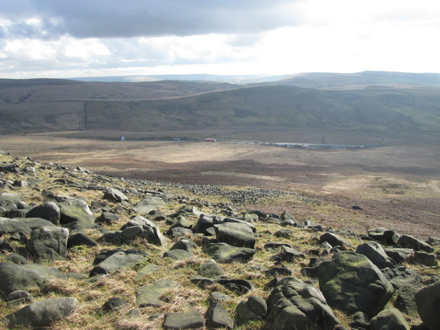
Overall, Low House Moor is a peaceful and tranquil destination that offers visitors the opportunity to escape the hustle and bustle of everyday life and immerse themselves in the beauty of nature.

If you have any feedback on the listing, please let us know in the comments section below.

Low House Moor Images

Images are sourced within 2km of 53.631147/-2.0517241 or Grid Reference SD9614. Thanks to Geograph Open Source API. All images are credited.

Windy Hill Mast View of Windy Hill Mast (<a href="https://www.geograph.org.uk/photo/3488592">SD9814 : Windy Hill</a>) seen from alongside Piethorne Reservoir.
Windy Hill Mast
View of Windy Hill Mast (SD9814 : Windy Hill) seen from alongside Piethorne Reservoir.
Pennine Way, Blackstone Edge Taken just to the south of the trig pillar. Looking out over littleborough and Rochdale.
Pennine Way, Blackstone Edge
Taken just to the south of the trig pillar. Looking out over littleborough and Rochdale.
Blackstone Edge trig pillar On the Pennine Way at 472 metres above sea level.
Blackstone Edge trig pillar
On the Pennine Way at 472 metres above sea level.
A very muddy path on Windy Hill
Bridleway on Windy Hill
Bridleway on Windy Hills
Looking down Great Hoar Edge to the M62 motorway
Low House Moor The mast on Windy Hill in the distance
Low House Moor
The mast on Windy Hill in the distance
Broad Head Drain
Broad Head Drain
The old road towards Blackstone Edge Moor
Blackstone Edge Blackstone Edge is a gritstone escarpment at 1549 feet (472 m) above sea level in the Pennine hills surrounded by moorland on the boundary between Greater Manchester and West Yorkshire.
Blackstone Edge
Blackstone Edge is a gritstone escarpment at 1549 feet (472 m) above sea level in the Pennine hills surrounded by moorland on the boundary between Greater Manchester and West Yorkshire.
Blackstone Edge Escarpment Blackstone Edge is a gritstone escarpment at 1549 feet (472 m) above sea level in the Pennine hills surrounded by moorland overlooking Littleborough and Rochdale on the boundary between Greater Manchester and West Yorkshire.
Blackstone Edge Escarpment
Blackstone Edge is a gritstone escarpment at 1549 feet (472 m) above sea level in the Pennine hills surrounded by moorland overlooking Littleborough and Rochdale on the boundary between Greater Manchester and West Yorkshire.
Pennine Way, Blackstone Edge
Blackstone Edge Trig Pillar Approached here from the north, the triangulation pillar at Blackstone Edge sits spectacularly on a large gritstone boulder high above the town of Littleborough.
Blackstone Edge Trig Pillar
Approached here from the north, the triangulation pillar at Blackstone Edge sits spectacularly on a large gritstone boulder high above the town of Littleborough.
Ordnance Survey Triangulation Pillar at Blackstone Edge Viewed here  here from the south, the triangulation pillar at Blackstone Edge sits spectacularly on a large gritstone boulder on the escarpment high above the town of Littleborough. The hills of Lancashire can be seen behind the boulder.
Ordnance Survey Triangulation Pillar at Blackstone Edge
Viewed here here from the south, the triangulation pillar at Blackstone Edge sits spectacularly on a large gritstone boulder on the escarpment high above the town of Littleborough. The hills of Lancashire can be seen behind the boulder.
Blackstone Edge Triangulation Pillar The triangulation pillar at Blackstone Edge sits spectacularly on a large gritstone boulder on the escarpment overlooking the town of Littleborough.
Blackstone Edge Triangulation Pillar
The triangulation pillar at Blackstone Edge sits spectacularly on a large gritstone boulder on the escarpment overlooking the town of Littleborough.
Pennine Way, Blackstone Edge Summit A wide-angle view at the summit of Blackstone Edge showing the OS triangulation pillar together with some of the surrounding moorland and gritstone boulders.
Pennine Way, Blackstone Edge Summit
A wide-angle view at the summit of Blackstone Edge showing the OS triangulation pillar together with some of the surrounding moorland and gritstone boulders.
View from Summit of Blackstone Edge Looking over the moorland near Littleborough from the summit of Blackstone Edge, near to <a href="https://www.geograph.org.uk/photo/4939052">SD9716 : Blackstone Edge Triangulation Pillar</a>. The patch of water which can be seen in the distance is Higher Chelburn Reservoir.
View from Summit of Blackstone Edge
Looking over the moorland near Littleborough from the summit of Blackstone Edge, near to SD9716 : Blackstone Edge Triangulation Pillar. The patch of water which can be seen in the distance is Higher Chelburn Reservoir.
Show me another place!

Low House Moor is located at Grid Ref: SD9614 (Lat: 53.631147, Lng: -2.0517241)

Unitary Authority: Rochdale

Police Authority: Greater Manchester

What 3 Words

///rainbow.contracts.mason. Near Littleborough, Manchester

Related Wikis

Blackstone Edge

Blackstone Edge ( BLAK-stən) is a gritstone escarpment at 472 metres (1,549 ft) above sea level in the Pennine hills surrounded by moorland on the boundary...

Norman Hill Reservoir

Norman Hill Reservoir is a reservoir in the Piethorne Valley in the Metropolitan Borough of Rochdale, within Greater Manchester, England. == References ==

Whittaker Wood

Whittaker Wood is a woodland in Greater Manchester, England, near Littleborough. It covers a total area of 1.88 hectares (4.65 acres). It is owned and...

Rakewood Viaduct

The Rakewood Viaduct carries the M62 motorway over Rakewood Valley and Longden End Brook between junctions 21 and 22 at Littleborough, Greater Manchester...

Nearby Amenities

Located within 500m of 53.631147,-2.0517241
The data included in this document is from www.openstreetmap.org. The data is made available under ODbL.

Have you been to Low House Moor?

Leave your review of Low House Moor below (or comments, questions and feedback).