Ickornshaw Moor
Downs, Moorland in Yorkshire Craven
England
Ickornshaw Moor

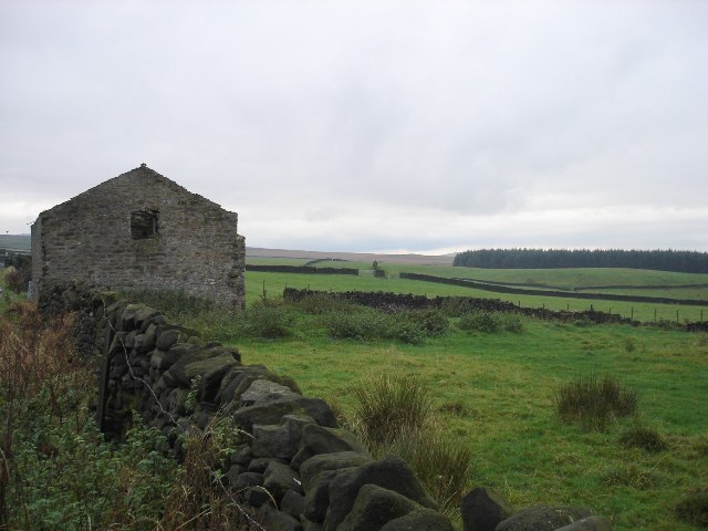
Ickornshaw Moor is an expansive area of moorland located in the Yorkshire Dales, specifically in the county of Yorkshire, England. Situated in the southern region of the Yorkshire Dales National Park, it covers an approximate area of 2 square miles.
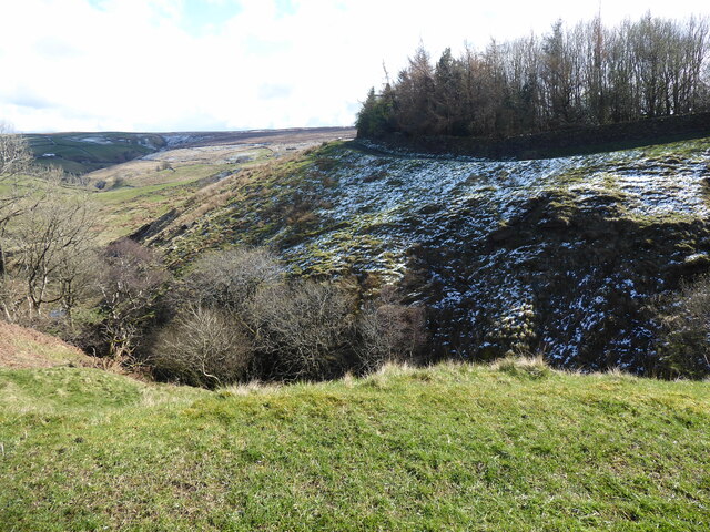
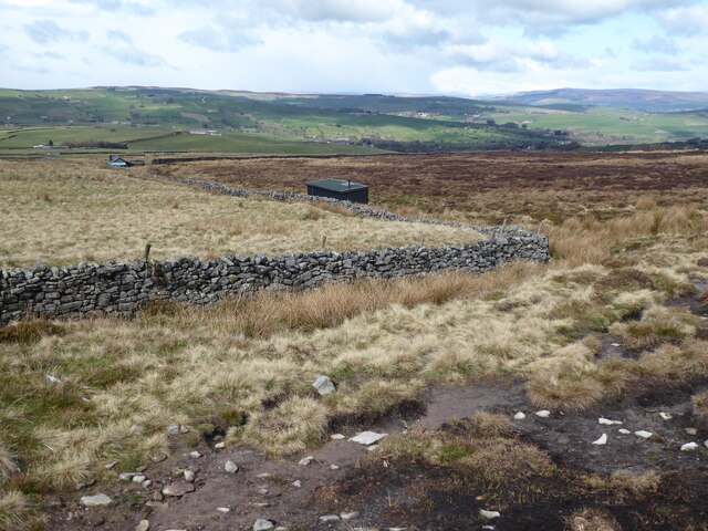
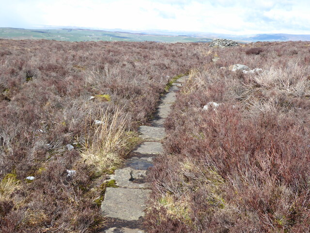
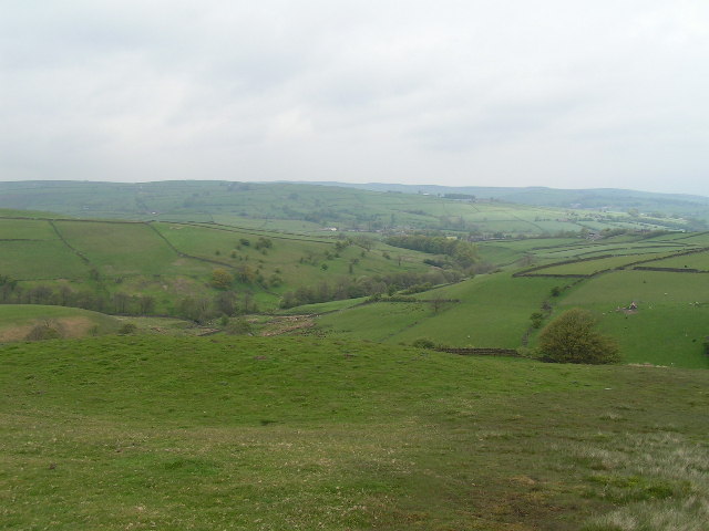
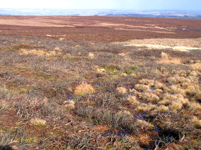
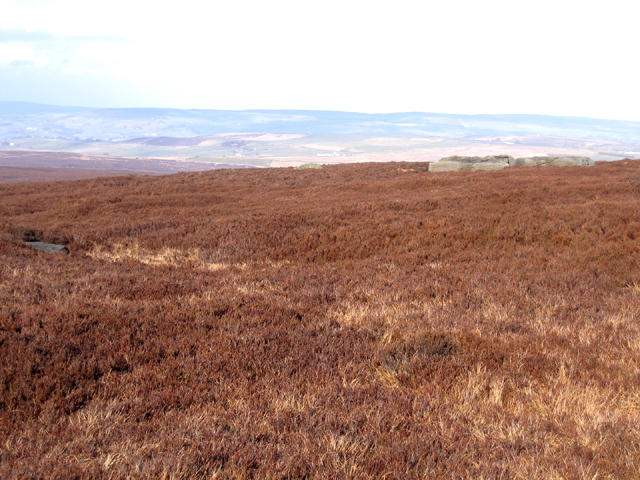
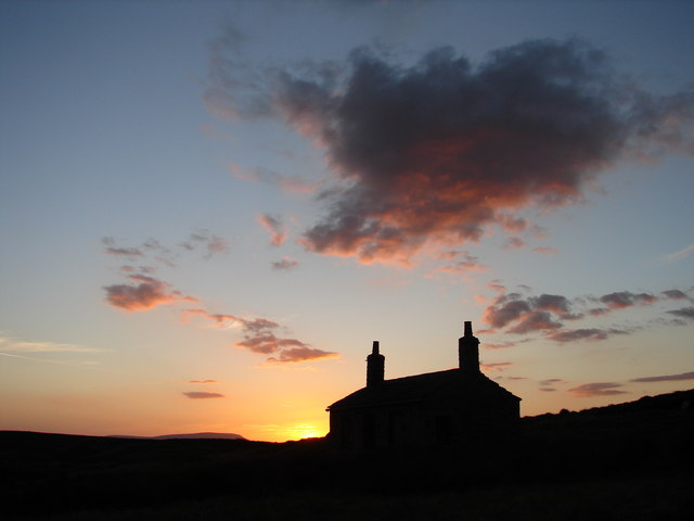
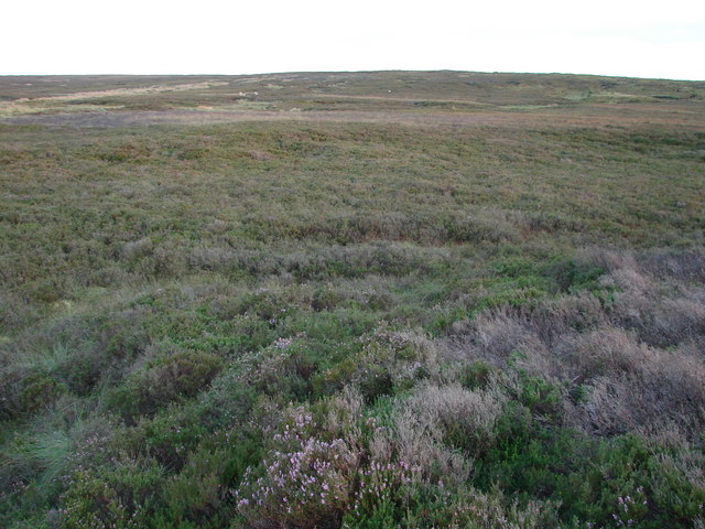
The moorland is characterized by its rolling hills, heather-covered landscapes, and scattered patches of woodland. It sits at an elevation of around 1,200 feet above sea level, offering magnificent views of the surrounding countryside. Despite its relatively high altitude, the moorland remains accessible throughout the year, attracting visitors who are keen on exploring the region's natural beauty.
Ickornshaw Moor is renowned for its biodiversity, serving as a habitat for a variety of flora and fauna. The heather-covered land provides a haven for numerous bird species, including grouse, curlews, and skylarks, making it a popular destination for birdwatchers. The moorland also supports a diverse range of plant life, with notable species such as bilberry and cotton grass.
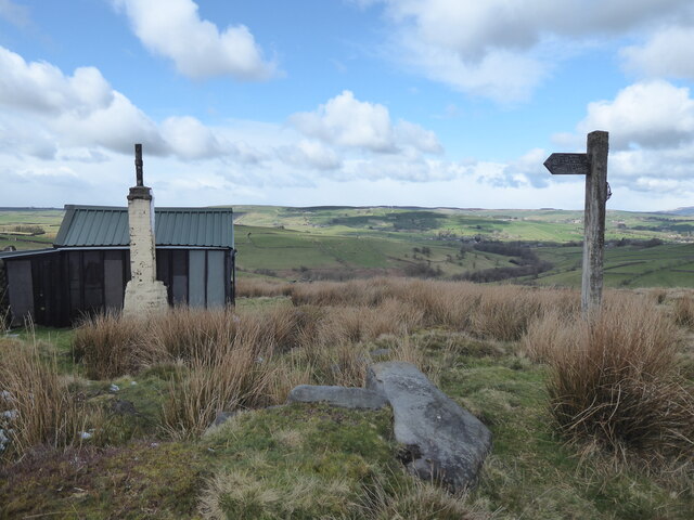
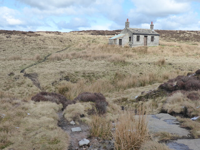
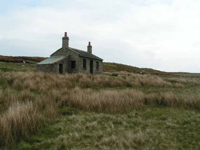
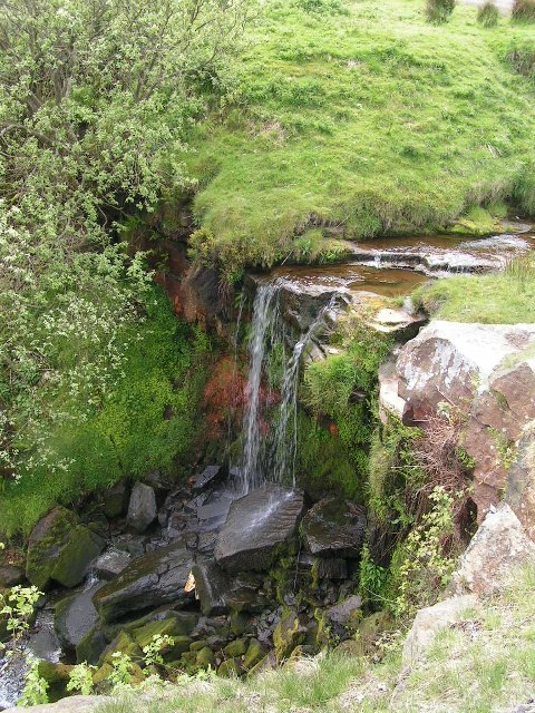
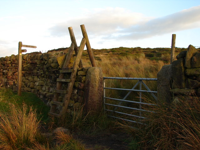
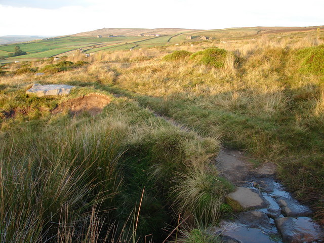
The area is crisscrossed by a network of footpaths, making it an ideal location for hikers and nature enthusiasts. These paths lead visitors through the stunning landscapes, enabling them to discover hidden valleys, cascading streams, and ancient ruins that dot the moorland.
Ickornshaw Moor offers a tranquil escape from the hustle and bustle of urban life, providing visitors with the opportunity to immerse themselves in the beauty of the Yorkshire Downs. Whether it is observing wildlife, embarking on a leisurely stroll, or simply enjoying the breathtaking vistas, Ickornshaw Moor offers an unforgettable experience for all who venture there.
If you have any feedback on the listing, please let us know in the comments section below.
Ickornshaw Moor Images
Images are sourced within 2km of 53.860664/-2.0543801 or Grid Reference SD9640. Thanks to Geograph Open Source API. All images are credited.


Ickornshaw Moor is located at Grid Ref: SD9640 (Lat: 53.860664, Lng: -2.0543801)
Division: West Riding
Administrative County: North Yorkshire
District: Craven
Police Authority: North Yorkshire
What 3 Words
///incensed.tastes.camps. Near Glusburn, North Yorkshire
Nearby Locations
Related Wikis

Watersheddles Reservoir
Watersheddles Reservoir is an upland artificial lake in Lancashire, England. The reservoir was opened in 1877 by the Keighley Corporation Water Works,...

The Hitching Stone
The Hitching Stone is a gritstone erratic block on Keighley Moor, North Yorkshire, near Earl Crag and the village of Cowling. It is very close to the...
Cowling, Craven
Cowling is a village, electoral division and civil parish in the Craven district of North Yorkshire, England. It is situated on the borders with the adjacent...

Middleton, Cowling
Middleton is a hamlet in the Craven district of North Yorkshire, England, part of the civil parish of Cowling. It is near the border with West Yorkshire...

Wainman's Pinnacle
Wainman's Pinnacle, originally built as a folly (and still used as a folly), is a stone obelisk in Sutton-in-Craven, North Yorkshire. It tends to be referred...
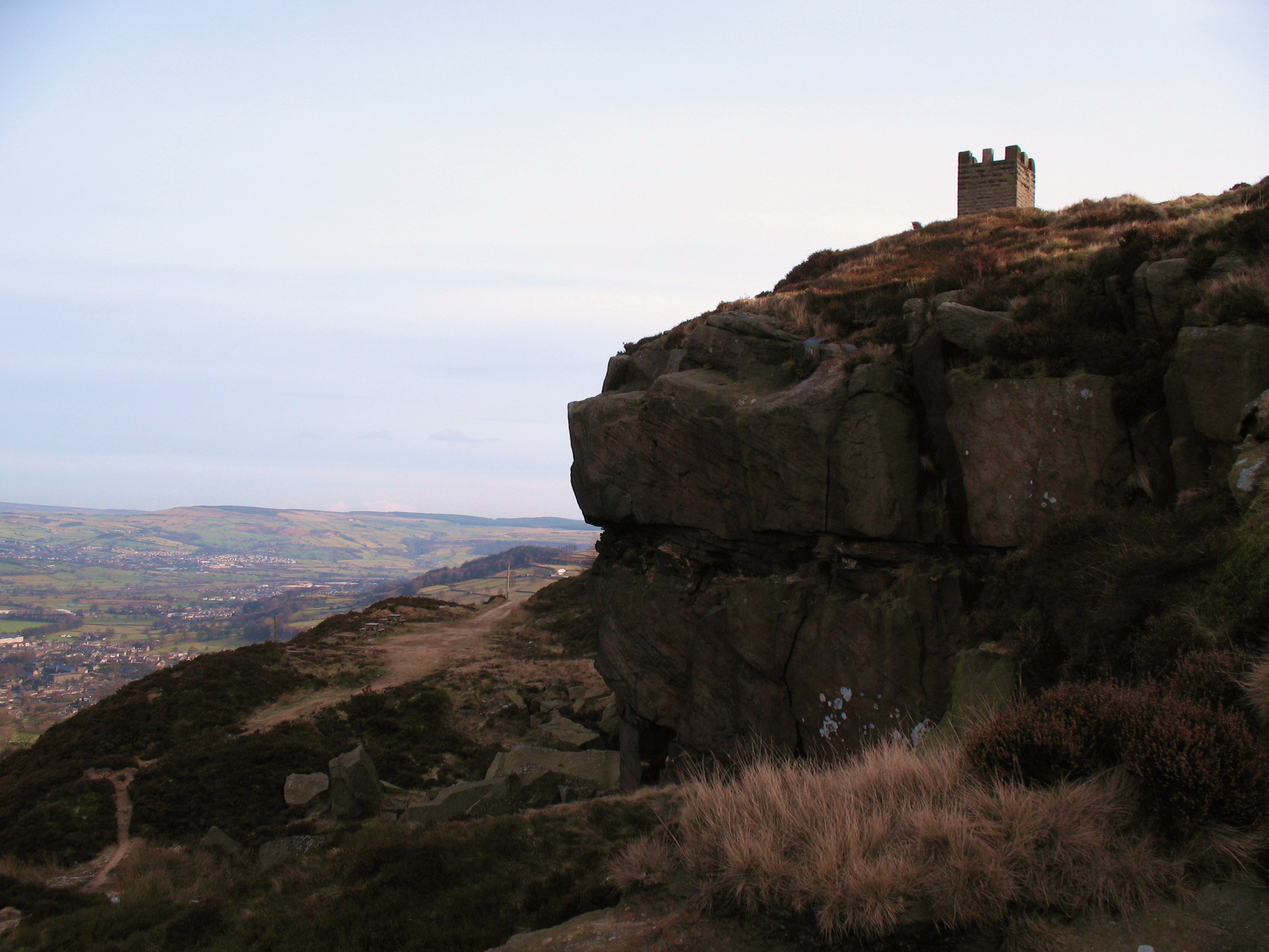
Earl Crag
Earl Crag is a gritstone crag and climbing area in Craven, North Yorkshire, England. It is home to Lund's Tower, Wainman's Pinnacle, and The Hitching...

Wycoller Beck
Wycoller Beck is a stream in Lancashire, running through Wycoller Country Park and the village of Wycoller in Pendle. It is 3.76 miles (6.05 km) long and...
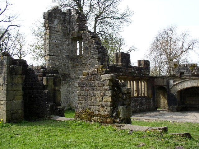
Wycoller Hall
Wycoller Hall was a late sixteenth-century manor house in the village of Wycoller, Lancashire, England. The hall was the centre of a sizeable estate but...
Nearby Amenities
Located within 500m of 53.860664,-2.0543801Have you been to Ickornshaw Moor?
Leave your review of Ickornshaw Moor below (or comments, questions and feedback).