Black Pasture

Downs, Moorland in Yorkshire Richmondshire

England

Black Pasture

Barn beside track SW of Thornton Rust The 1893 1:2500 Map indicates an Ordnance Survey benchmark levelled at 1045.9 feet above Liverpool Datum on the front of the barn at its far corner
Barn beside track SW of Thornton Rust Credit: Roger Templeman

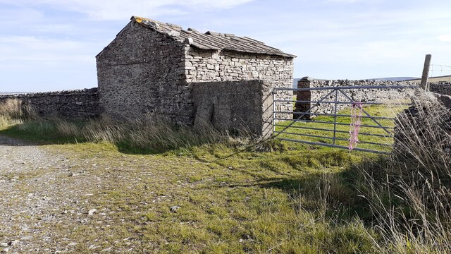
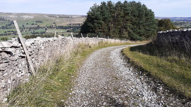
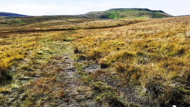
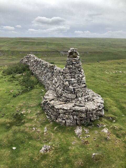
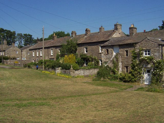
Black Pasture is a picturesque area located in Yorkshire, England. Nestled amidst the stunning landscape of the Yorkshire Downs and Moorland, it is renowned for its natural beauty and diverse ecosystem. The name "Black Pasture" is derived from the dark and fertile soil that covers the region, making it an ideal grazing ground for livestock.

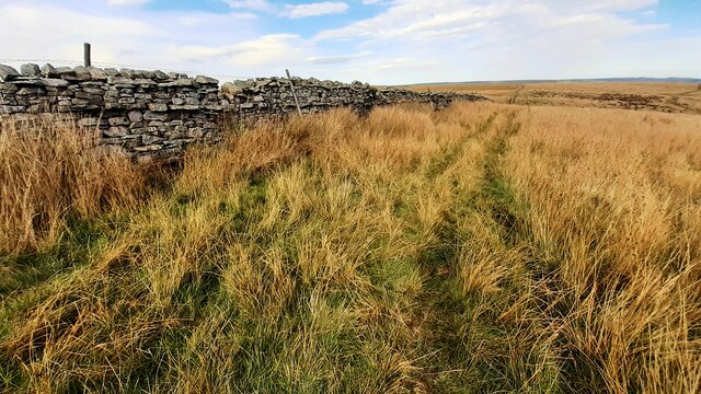
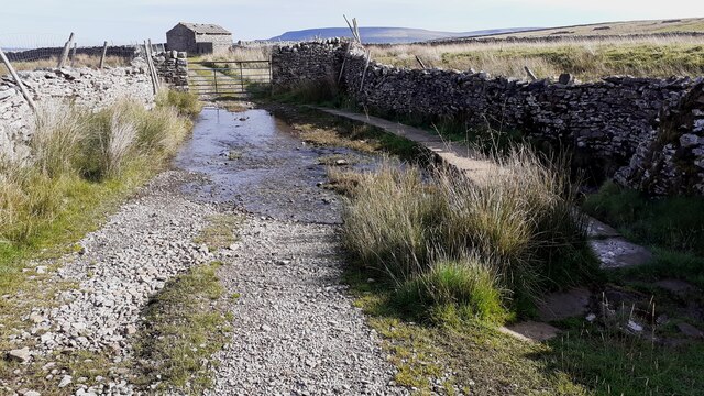
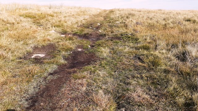
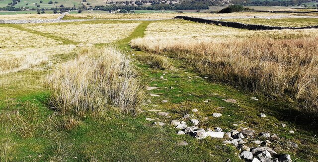
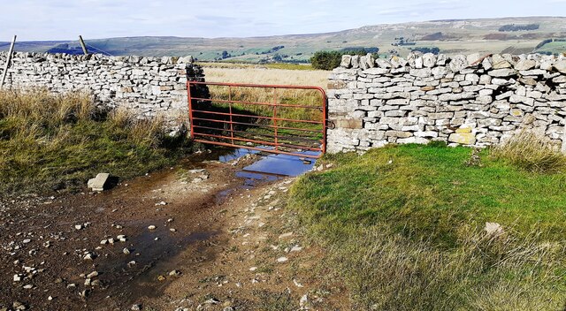
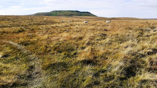
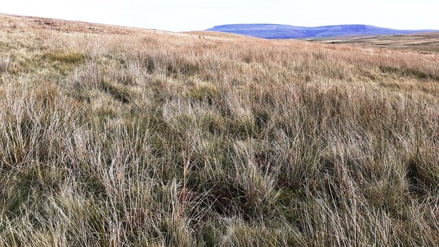
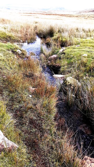
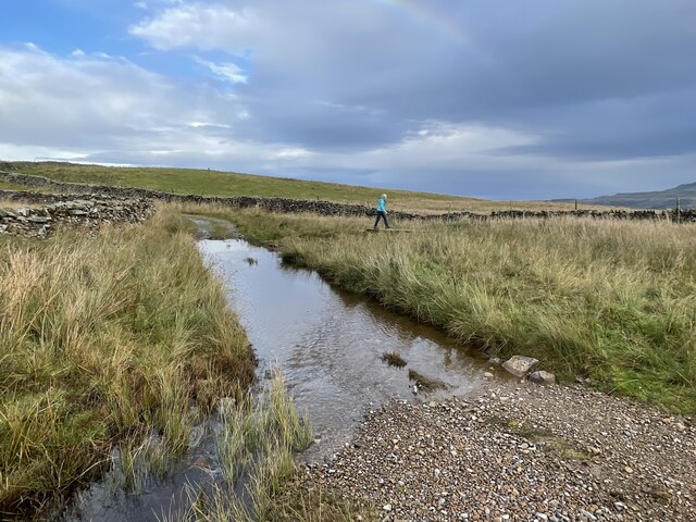
The area is characterized by rolling hills, vast meadows, and scattered pockets of woodland, creating a captivating landscape that attracts visitors from far and wide. The Yorkshire Downs, with their sweeping panoramic views, offer a sense of tranquility and escape from the hustle and bustle of city life. The moorland, on the other hand, is a rugged and wild terrain, covered in heather and bracken, providing a habitat for a variety of plant and animal species.

Black Pasture is home to an abundance of wildlife, including deer, rabbits, foxes, and a wide array of bird species. It is also known for its unique flora, with patches of wildflowers dotting the landscape during the spring and summer months.

The area is a haven for outdoor enthusiasts, with numerous walking trails and hiking routes that allow visitors to explore the beauty of Black Pasture at their own pace. Additionally, there are opportunities for horse riding and cycling, enabling visitors to fully immerse themselves in the natural splendor of the region.

Overall, Black Pasture is a captivating destination, offering a glimpse into the untouched beauty of the Yorkshire Downs and Moorland. With its breathtaking scenery and rich biodiversity, it is a must-visit location for nature lovers and those seeking a peaceful retreat in the heart of Yorkshire.

If you have any feedback on the listing, please let us know in the comments section below.

Black Pasture Images

Images are sourced within 2km of 54.276175/-2.0565562 or Grid Reference SD9686. Thanks to Geograph Open Source API. All images are credited.

Barn beside track SW of Thornton Rust The 1893 1:2500 Map indicates an Ordnance Survey benchmark levelled at 1045.9 feet above Liverpool Datum on the front of the barn at its far corner
Barn beside track SW of Thornton Rust
The 1893 1:2500 Map indicates an Ordnance Survey benchmark levelled at 1045.9 feet above Liverpool Datum on the front of the barn at its far corner
Moorland view on Stony Rigg There is an animal trap on a log over a pit beside the wall at the gap in the rushes near the left hand edge of the image
Moorland view on Stony Rigg
There is an animal trap on a log over a pit beside the wall at the gap in the rushes near the left hand edge of the image
Ford and raised footpath over West Beck on track towards Thornton Rusk The track passes an old stone barn <a href="https://www.geograph.org.uk/photo/6985769">SD9688 : Barn beside track SW of Thornton Rust</a> about 50m past the gate.
Ford and raised footpath over West Beck on track towards Thornton Rusk
The track passes an old stone barn SD9688 : Barn beside track SW of Thornton Rust about 50m past the gate.
Moorland track towards Thornton Rust on Thornton Rust Moor The 1893 Map shows a benchmark levelled at 1183.7 feet near here
Moorland track towards Thornton Rust on Thornton Rust Moor
The 1893 Map shows a benchmark levelled at 1183.7 feet near here
Track on Thornton Rust Moor heading towards Thornton Rust Ordnance Survey records describe a benchmark levelled at 305.684m above Newlyn Datum verified in 1954 on a boulder on the left hand side of the track here
Track on Thornton Rust Moor heading towards Thornton Rust
Ordnance Survey records describe a benchmark levelled at 305.684m above Newlyn Datum verified in 1954 on a boulder on the left hand side of the track here
Paths on Thornton Rust Moor The 1893 Map shows a benchmark 1094.6 feet probably on a rock here
Paths on Thornton Rust Moor
The 1893 Map shows a benchmark 1094.6 feet probably on a rock here
Gate in wall across track on Thornton Rust Moor Ordnance Survey records indicate that a benchmark levelled at 347.423m above Newlyn Datum was verified in 1954 on the wall on the left hand side of the gate
Gate in wall across track on Thornton Rust Moor
Ordnance Survey records indicate that a benchmark levelled at 347.423m above Newlyn Datum was verified in 1954 on the wall on the left hand side of the gate
Track on Thornton Rust Moor Addlebrough on the horizon
Track on Thornton Rust Moor
Addlebrough on the horizon
Track on Thornton Rust Moor towards Carpley Green
Thornton Rust Moor near Stony Rigg
A stream on Thornton Rust Moor north of Stony Rigg
Flout Moor Lane Ford This ford on Haw Beck is found on Flout Moor Lane.
Flout Moor Lane Ford
This ford on Haw Beck is found on Flout Moor Lane.
Cairn at wall end on southeast edge of Addlebrough Well constructed cairn at the end of a wall that reaches the plateau of Addlebrough in the southeast corner. I assume the wall at one time closed the gap between the cairn and point where the picture was taken to complete a field boundary which has become superfluous.
Cairn at wall end on southeast edge of Addlebrough
Well constructed cairn at the end of a wall that reaches the plateau of Addlebrough in the southeast corner. I assume the wall at one time closed the gap between the cairn and point where the picture was taken to complete a field boundary which has become superfluous.
Outline of ancient settlement, Addlebrough Ancient settlement on the southeastern lower slopes of Addlebrough, traced out by surviving lines of limestone on the grassy shelf.
Outline of ancient settlement, Addlebrough
Ancient settlement on the southeastern lower slopes of Addlebrough, traced out by surviving lines of limestone on the grassy shelf.
Bridleway track fording small stream on Thornton Rust Moor
Limestone construction near Thornton Rust Resembling an old kiln, the building seems to sit right atop a swallow hole marked on OS maps.
Limestone construction near Thornton Rust
Resembling an old kiln, the building seems to sit right atop a swallow hole marked on OS maps.
Looking towards Penhill Looking east from the footpath.
Looking towards Penhill
Looking east from the footpath.
Looking towards Addlebrough Looking west from the footpath.
Looking towards Addlebrough
Looking west from the footpath.
Show me another place!

Black Pasture is located at Grid Ref: SD9686 (Lat: 54.276175, Lng: -2.0565562)

Division: North Riding

Administrative County: North Yorkshire

District: Richmondshire

Police Authority: North Yorkshire

What 3 Words

///emptied.facelift.physical. Near Leyburn, North Yorkshire

Nearby Locations

Black Pasture

Related Wikis

Castle Dykes Henge

Castle Dykes Henge is a Class I Neolithic henge earthwork in the Yorkshire Dales National Park in North Yorkshire, England, situated between the villages...

Yorkshire Dales

The Yorkshire Dales are an upland area of the Pennines in England. Most of the area is in the county of North Yorkshire, but it extends into Cumbria and...

Thornton Rust

Thornton Rust is a village and civil parish in North Yorkshire, England. It lies in the Yorkshire Dales about 2 miles (3.2 km) west of Aysgarth, high on...

Addlebrough

Addlebrough is a fell in Wensleydale, North Yorkshire, England. It is 481 m (1,578 ft) high. Bronze Age inhabitants built homes and enclosures on the fell...

Nearby Amenities

Located within 500m of 54.276175,-2.0565562
Black Pasture
Place: locality
Source: NPE
Lat/Long: 54.2768579/-2.0557524
Ford: yes
Lat/Long: 54.2749734/-2.0511784
Barrier: stile
Lat/Long: 54.2777033/-2.0493494
Barrier: stile
Lat/Long: 54.2777649/-2.0494417
The data included in this document is from www.openstreetmap.org. The data is made available under ODbL.

Have you been to Black Pasture?

Leave your review of Black Pasture below (or comments, questions and feedback).