Crichie Moss
Downs, Moorland in Aberdeenshire
Scotland
Crichie Moss
Crichie Moss is a picturesque nature reserve located in Aberdeenshire, Scotland. Situated on the outskirts of the small village of Crichie, it covers an area of approximately 50 hectares. The reserve is known for its diverse ecosystem, featuring a combination of downs and moorland landscapes.
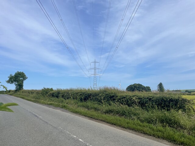
The downs of Crichie Moss are characterized by gently rolling hills with short grasses and scattered shrubs. These downs provide a habitat for a variety of bird species, including skylarks and meadow pipits. The open nature of the downs allows for unobstructed views of the surrounding countryside, making it a popular spot for birdwatchers and nature enthusiasts.
In contrast, the moorland areas of Crichie Moss are characterized by heather-covered hillsides and peat bogs. This unique landscape provides a habitat for a range of plant species, including cotton grass, bog myrtle, and various mosses. It also supports a rich diversity of wildlife, such as red grouse, curlews, and adders.
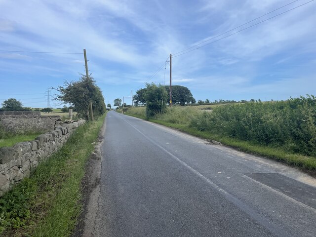
Visitors to Crichie Moss can enjoy a network of well-maintained walking trails that traverse the reserve, offering stunning views and opportunities to spot the local flora and fauna. Interpretive signs along the trails provide information about the reserve's natural features and the importance of conservation.
Crichie Moss is managed by the local conservation authority, which works to maintain the delicate balance of its ecosystems. The reserve offers a peaceful and tranquil setting for visitors to connect with nature and experience the beauty of the Aberdeenshire countryside.
If you have any feedback on the listing, please let us know in the comments section below.
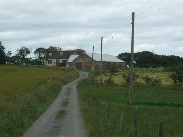
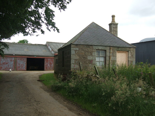
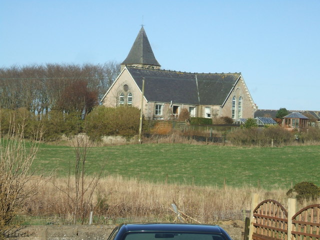
Crichie Moss Images
Images are sourced within 2km of 57.469503/-2.0650705 or Grid Reference NJ9642. Thanks to Geograph Open Source API. All images are credited.


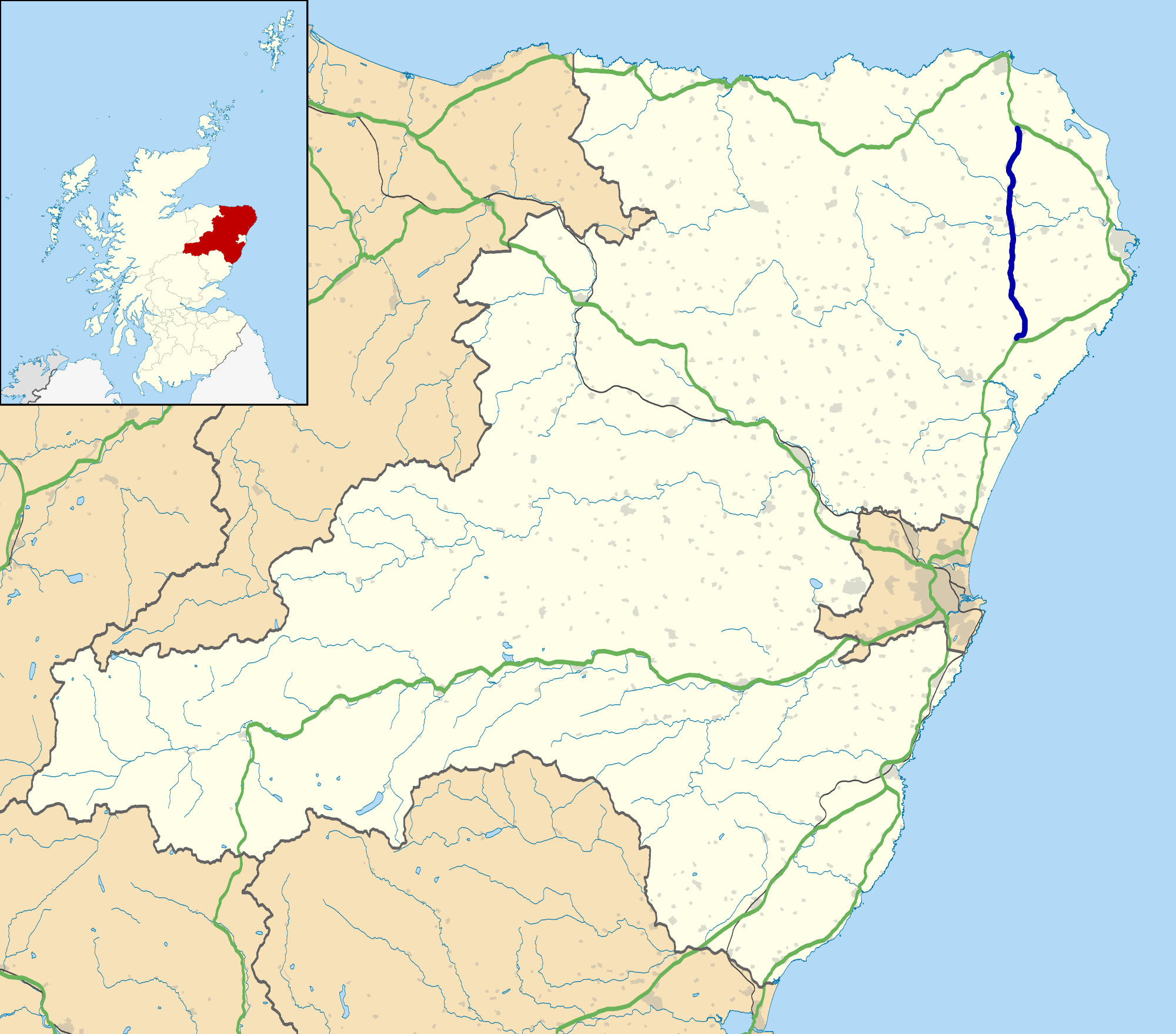
Crichie Moss is located at Grid Ref: NJ9642 (Lat: 57.469503, Lng: -2.0650705)
Unitary Authority: Aberdeenshire
Police Authority: North East
What 3 Words
///inform.snowballs.chase. Near Mintlaw, Aberdeenshire
Nearby Locations
Related Wikis

Skelmuir Hill
Skelmuir Hill is a landform in Aberdeenshire, Scotland. This is the location of a trig point or official government survey marker. Skelmuir Hill is the...

Auchnagatt
Auchnagatt (Scottish Gaelic: Achadh nan Cat) is a village and rural area in Buchan, Aberdeenshire, Scotland, situated on the Ebrie Burn and on the A948...

Auchnagatt railway station
Auchnagatt railway station was a railway station in Auchnagatt, Aberdeenshire. Before its closure, services ran to Fraserburgh, Peterhead and Aberdeen...

Formartine and Buchan Way
The Formartine and Buchan Way is a long-distance trail in Scotland, extending from Dyce north to Peterhead and Fraserburgh in the Buchan and Formartine...

Stuartfield
Stuartfield is a small inland village in the Buchan area of Aberdeenshire, Scotland, situated 1.8 kilometres (1.1 mi) south of Old Deer. It was formerly...
Clola
Clola is a hamlet in Buchan, Aberdeenshire, Scotland. Clola is situated on the A952 road. There is considerable evidence of local habitation by early man...
A952 road
The A952 road is a main road in Aberdeenshire, Scotland. This roadway is a north–south connector that serves as an inland bypass to the more coastally...
Clackriach Castle
Clackriach Castle was a 16th-century tower house, about 11 miles (18 km) north of Ellon, Aberdeenshire, Scotland, and 1 mile (1.6 km) south-east of Maud...
Nearby Amenities
Located within 500m of 57.469503,-2.0650705Have you been to Crichie Moss?
Leave your review of Crichie Moss below (or comments, questions and feedback).