Berryhill Moor
Downs, Moorland in Northumberland
England
Berryhill Moor

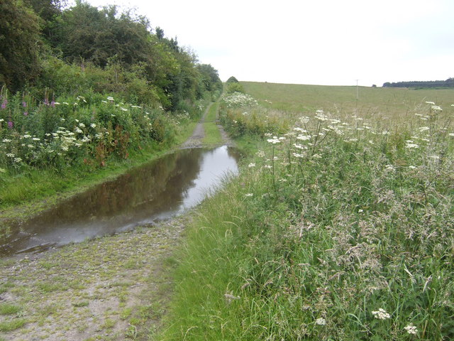
Berryhill Moor is a picturesque moorland located in the county of Northumberland, England. Situated between the villages of Bellingham and Rochester, it covers an expansive area of approximately 2,000 acres. The moor is part of the Northumberland National Park and is known for its stunning natural beauty and diverse wildlife.
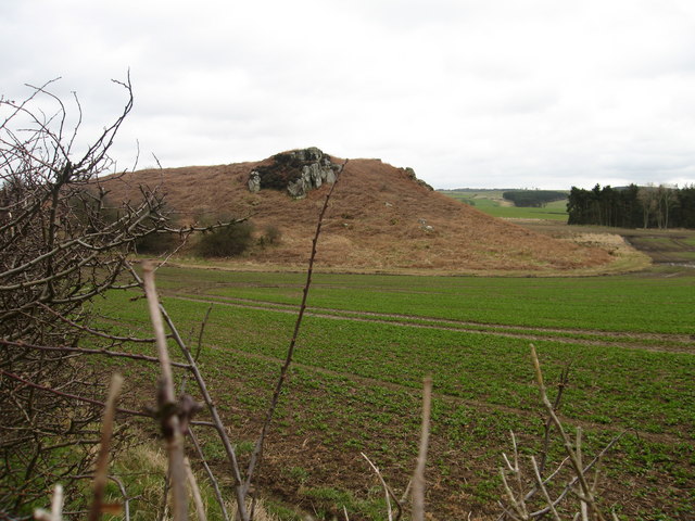
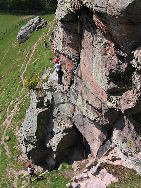
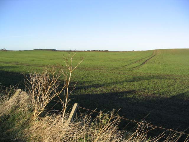
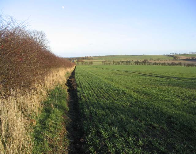
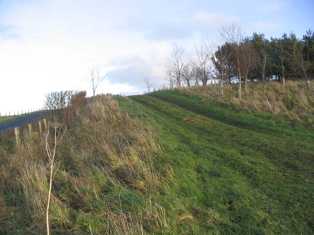
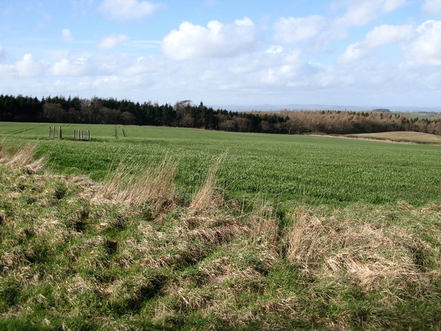
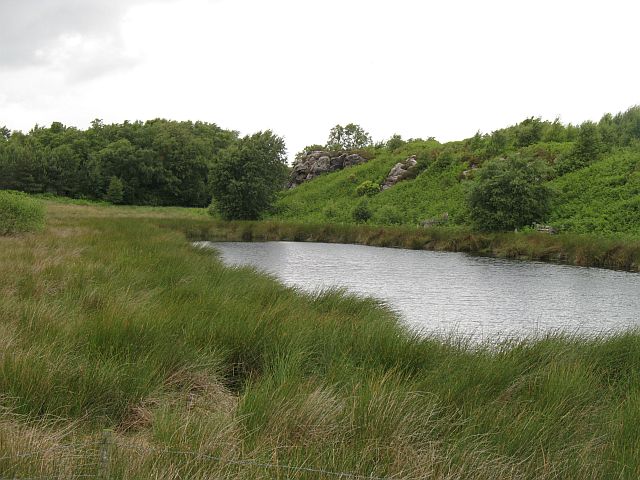
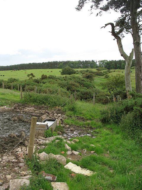
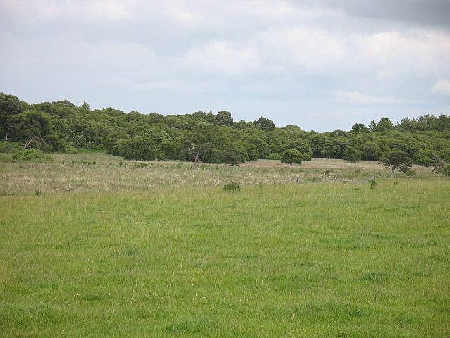
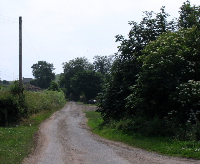
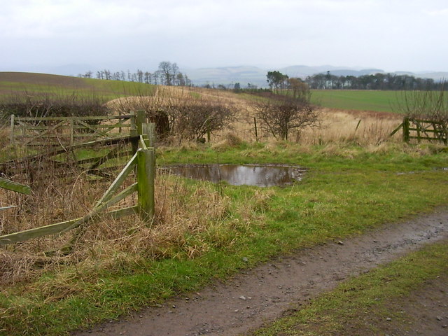
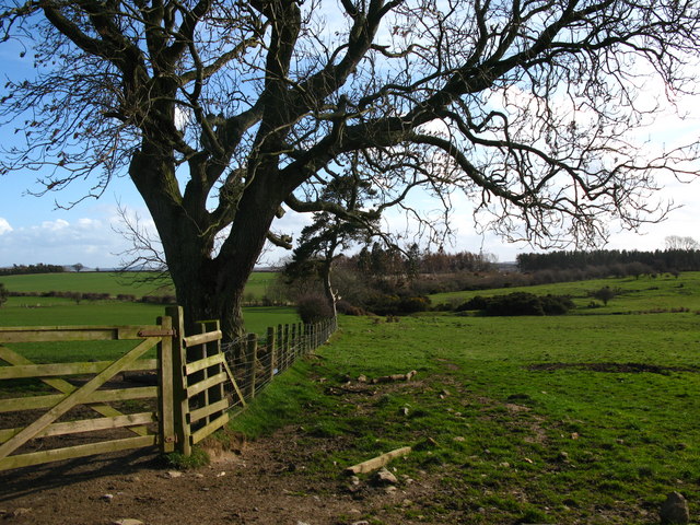
The landscape of Berryhill Moor is characterized by rolling hills, heather-covered moorland, and scattered patches of woodland. The moor is situated on a plateau, offering panoramic views of the surrounding countryside. The area is crisscrossed by a network of footpaths and trails, making it a popular destination for hikers and nature enthusiasts.
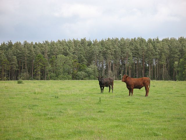
The moorland is home to a wide range of plant and animal species. The purple heather that blankets the landscape in late summer is particularly notable, creating a striking contrast against the greenery and adding to the area's visual appeal. Wildlife on Berryhill Moor includes birds such as skylarks, curlews, and merlins, as well as mammals like red squirrels and roe deer.
In addition to its natural beauty, Berryhill Moor also holds historical significance. The remains of prehistoric settlements and ancient burial sites can be found scattered across the moor, providing insight into the area's rich history. Visitors can explore these archaeological sites while taking in the breathtaking scenery.
Overall, Berryhill Moor offers a tranquil and scenic retreat for those seeking to immerse themselves in the beauty of Northumberland's countryside. Its unique combination of moorland, woodlands, and historical sites make it a must-visit destination for nature lovers and history enthusiasts alike.
If you have any feedback on the listing, please let us know in the comments section below.
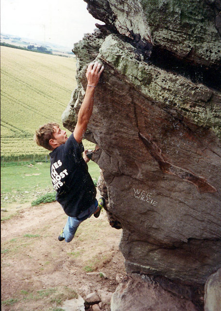
Berryhill Moor Images
Images are sourced within 2km of 55.661506/-2.0739321 or Grid Reference NT9540. Thanks to Geograph Open Source API. All images are credited.
Berryhill Moor is located at Grid Ref: NT9540 (Lat: 55.661506, Lng: -2.0739321)
Unitary Authority: Northumberland
Police Authority: Northumbria
What 3 Words
///grunt.thrillers.fanfare. Near Ford, Northumberland
Nearby Locations
Related Wikis

Duddo Tower
Duddo Tower is a Scheduled Ancient Monument and a Grade II listed building comprising the ruinous remains of an ancient pele tower and 16th century tower...
Duddo
Duddo is a village and civil parish in Northumberland, about 8 miles (13 km) southwest of Berwick-upon-Tweed. == History == Duddo Five Stones is a stone...

Etal, Northumberland
Etal ( EE-təl) is a small village in the far north of the county of Northumberland, England, in the civil parish of Ford. It lies on a bridging point of...

Heatherslaw Mill
Heatherslaw Mill is a water mill situated on the Ford and Etal Estate, 7 miles north of the town of Wooler in the English county of Northumberland. It...

Etal Castle
Etal Castle is a ruined medieval fortification in the village of Etal, Northumberland, England. It was built around 1341 by Robert Manners, and comprised...

Lady Waterford Hall
Lady Waterford Hall is the former village school of the estate village of Ford, Northumberland. It is now used as the village hall and is a Grade II* listed...

Ford Forge
Ford Forge (Ford Mill), Northumberland, England is located on the River Till between the villages of Ford and Etal. Buildings housing a water-powered forge...

Ford, Northumberland
Ford is a small village and civil parish in Northumberland, England, about 13 miles (21 km) from Berwick-upon-Tweed. The parish also includes Etal. �...
Nearby Amenities
Located within 500m of 55.661506,-2.0739321Have you been to Berryhill Moor?
Leave your review of Berryhill Moor below (or comments, questions and feedback).