Brownridge Moor

Downs, Moorland in Northumberland

England

Brownridge Moor

Rhodes Hill trig
Rhodes Hill trig Credit: Iain Macaulay

Brownridge Moor is a vast and picturesque expanse of moorland located in Northumberland, England. Situated within the stunning landscape of the North Pennines Area of Outstanding Natural Beauty, it covers an area of approximately 2,500 acres.

The moorland is characterized by its rolling hills, expansive heather-covered slopes, and scattered rock outcrops. It boasts a unique and diverse ecosystem, supporting a variety of flora and fauna. The heather moorland dominates the landscape, creating a stunning purple blanket during the summer months, while cotton grass and bilberry bushes add to the area's natural beauty.

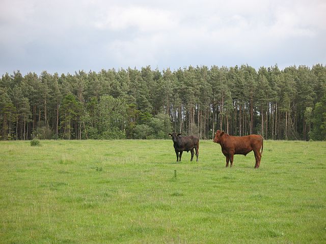
Brownridge Moor is home to a wide range of wildlife, including several rare and protected species. Birdwatchers flock to the area to spot the elusive black grouse, merlin, and peregrine falcon, among others. The moorland also provides an important habitat for ground-nesting birds such as curlews, snipe, and lapwings.

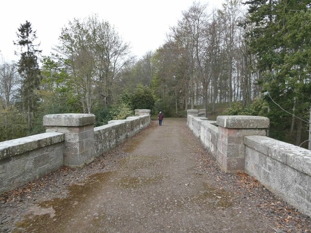
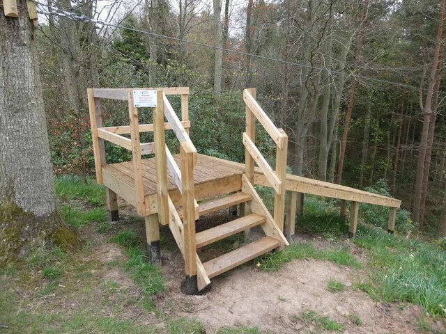
The area is crisscrossed by several footpaths and trails, offering visitors the opportunity to explore the moorland's natural wonders. Hikers can enjoy breathtaking panoramic views from the high vantage points, while nature enthusiasts can marvel at the abundance of plant life and wildlife. The moorland is also a popular destination for photographers, who can capture the stunning vistas and the ever-changing colors of the landscape.

Brownridge Moor is not only a haven for wildlife and natural beauty but also plays a crucial role in carbon storage and water regulation. Its conservation and management are of utmost importance to preserve this unique and valuable part of Northumberland's natural heritage.

If you have any feedback on the listing, please let us know in the comments section below.

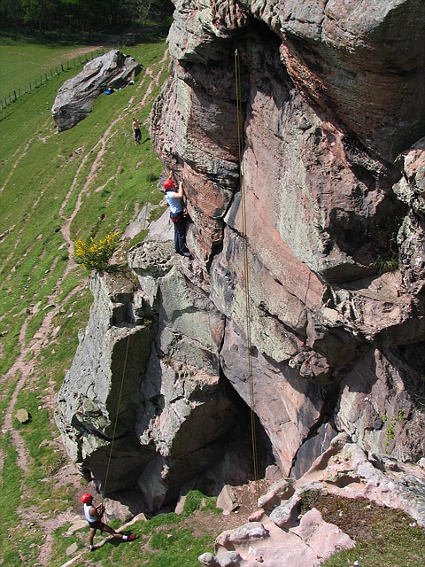
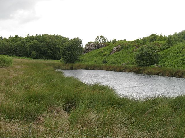
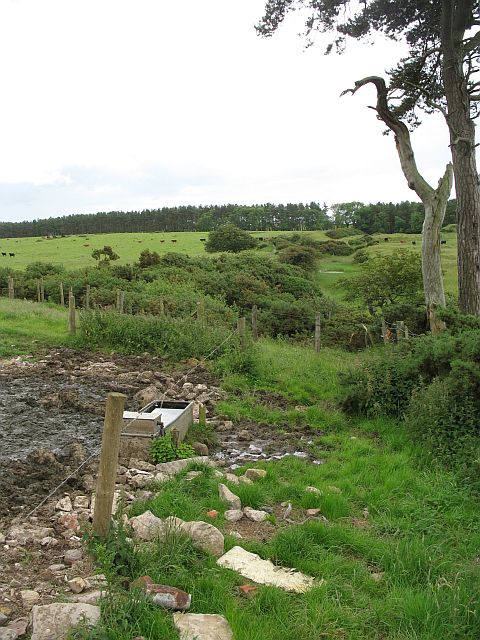
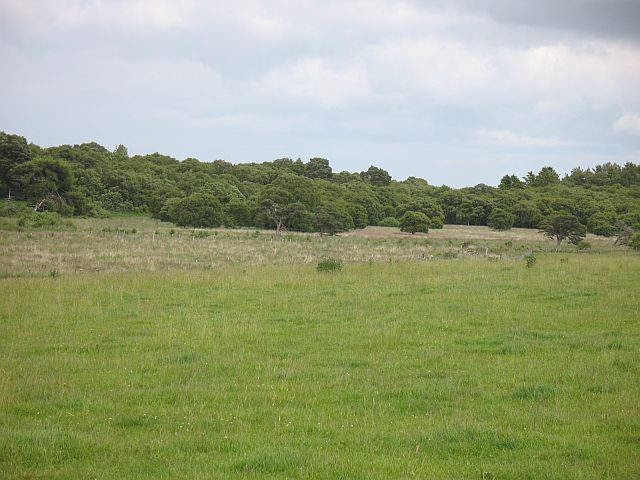
Brownridge Moor Images

Images are sourced within 2km of 55.643595/-2.0794112 or Grid Reference NT9538. Thanks to Geograph Open Source API. All images are credited.

Rhodes Hill trig
Rhodes Hill trig
Climbing at Berry Hill Superb Northumberland sandstone provides great climbing in the area. The rock is weathered into strange flutings and arches - a friend said it's like climbing on a cathedral. The tracks below are from the sheep & cattle in the field
Climbing at Berry Hill
Superb Northumberland sandstone provides great climbing in the area. The rock is weathered into strange flutings and arches - a friend said it's like climbing on a cathedral. The tracks below are from the sheep & cattle in the field
Berryhill Crag A south facing sandstone crag with some good climbing potential
Berryhill Crag
A south facing sandstone crag with some good climbing potential
Pond and crag, Etal Moor Fell sandstone outcrops.
Pond and crag, Etal Moor
Fell sandstone outcrops.
Fenced off path, Hazely Hill Fenced off area around a field, probably to enable cattle to be moved through a field without mixing. The field with the trough had cows and calves in it, and the background field contained approx. year old cattle.
Fenced off path, Hazely Hill
Fenced off area around a field, probably to enable cattle to be moved through a field without mixing. The field with the trough had cows and calves in it, and the background field contained approx. year old cattle.
Woodside Moor A mix of woodland and good grazing for cattle, not rough grazing as shown on the map.
Woodside Moor
A mix of woodland and good grazing for cattle, not rough grazing as shown on the map.
Cattle, Watchlaw Field between plantations. The cattle were very much on the nervous side of curiosity, and only when it was obvious that I was leaving along the bridleway did they do their usual cautious advancing trick that some folk find unnerving.
Cattle, Watchlaw
Field between plantations. The cattle were very much on the nervous side of curiosity, and only when it was obvious that I was leaving along the bridleway did they do their usual cautious advancing trick that some folk find unnerving.
Bridge over Grove Dene On the carriage drive from Ford to Etal.
Bridge over Grove Dene
On the carriage drive from Ford to Etal.
For the intrepid visitor End station of a zip wire over the deep gorge of Grove Dene on the Ford and Etal estate.
For the intrepid visitor
End station of a zip wire over the deep gorge of Grove Dene on the Ford and Etal estate.
Ford Castle Although a castle has existed on this site since the 13th century, what is seen here almost all dates from the 18th and 19th centuries. Grade I listed.
Ford Castle
Although a castle has existed on this site since the 13th century, what is seen here almost all dates from the 18th and 19th centuries. Grade I listed.
Parson's Tower, Ford A medieval pele tower on the Ford and Etal estate that once housed the local clergyman.
Parson's Tower, Ford
A medieval pele tower on the Ford and Etal estate that once housed the local clergyman.
Ford Castle Although a castle has existed on this site since the 13th century, what is seen here almost all dates from the 18th and 19th centuries. Grade I listed.
Ford Castle
Although a castle has existed on this site since the 13th century, what is seen here almost all dates from the 18th and 19th centuries. Grade I listed.
Gatehouse and courtyard, Ford Castle Although a castle has existed on this site since the 13th century, what is seen here almost all dates from the 18th and 19th centuries. The portcullis looks less than authentic. Grade I listed.
Gatehouse and courtyard, Ford Castle
Although a castle has existed on this site since the 13th century, what is seen here almost all dates from the 18th and 19th centuries. The portcullis looks less than authentic. Grade I listed.
Footpath in Castle Dene On the Ford Village and Castle Dene signed walk.
Footpath in Castle Dene
On the Ford Village and Castle Dene signed walk.
Gatehouse, Ford Castle Although a castle has existed on this site since the 13th century, what is seen here almost all dates from the 18th and 19th centuries. The portcullis looks less than authentic. Grade I listed.
Gatehouse, Ford Castle
Although a castle has existed on this site since the 13th century, what is seen here almost all dates from the 18th and 19th centuries. The portcullis looks less than authentic. Grade I listed.
Walled Garden, Ford Castle Outside corner of the garden.
Walled Garden, Ford Castle
Outside corner of the garden.
Cypress tree, Ford Castle Multiple trunks of a cypress tree standing beside the walkway to Ford Castle. Many of the trees on this avenue seem to exhibit the same fate.
Cypress tree, Ford Castle
Multiple trunks of a cypress tree standing beside the walkway to Ford Castle. Many of the trees on this avenue seem to exhibit the same fate.
Mural in the Lady Waterford Hall Louisa, Lady Waterford, dowager of the Ford Castle estate established the village school in 1860 and painted biblical scenes on the walls in pre-Raphaelite style. The hall is now a museum dedicated to her work.
Mural in the Lady Waterford Hall
Louisa, Lady Waterford, dowager of the Ford Castle estate established the village school in 1860 and painted biblical scenes on the walls in pre-Raphaelite style. The hall is now a museum dedicated to her work.
Show me another place!

Brownridge Moor is located at Grid Ref: NT9538 (Lat: 55.643595, Lng: -2.0794112)

Unitary Authority: Northumberland

Police Authority: Northumbria

What 3 Words

///sunblock.darts.skin. Near Ford, Northumberland

Related Wikis

Lady Waterford Hall

Lady Waterford Hall is the former village school of the estate village of Ford, Northumberland. It is now used as the village hall and is a Grade II* listed...

Ford, Northumberland

Ford is a small village and civil parish in Northumberland, England, about 13 miles (21 km) from Berwick-upon-Tweed. The parish also includes Etal. �...
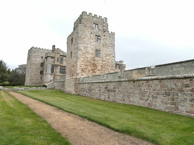
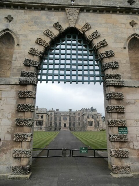
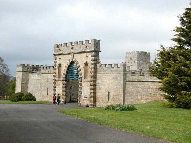
Ford Castle

Ford Castle is a Grade I listed building situated at a shallow crossing point on the River Till, Ford, Northumberland, England. The castle dates from about...

Heatherslaw Mill

Heatherslaw Mill is a water mill situated on the Ford and Etal Estate, 7 miles north of the town of Wooler in the English county of Northumberland. It...

Nearby Amenities

Located within 500m of 55.643595,-2.0794112
viewpoint – just north of Hay Farm
Source: local knowledge
Tourism: viewpoint
Lat/Long: 55.641914/-2.0839546
Power: pole
Lat/Long: 55.6479246/-2.0810062
Power: pole
Lat/Long: 55.6479836/-2.0796542
The data included in this document is from www.openstreetmap.org. The data is made available under ODbL.

Have you been to Brownridge Moor?

Leave your review of Brownridge Moor below (or comments, questions and feedback).