Coulston Down

Downs, Moorland in Wiltshire

England

Coulston Down

Well, near Imber The well, which is under the rusted grating between the RH and middle post, is in what may have been a village site, possibly Medieval. <span class="nowrap"><a title="http://www.wiltshire.gov.uk/artsheritageandlibraries/museumhistoryheritage/wiltshireandswindonhistoricenvironmentrecord/wshermap.htm?a=d&id=14310" rel="nofollow ugc noopener" href="http://www.wiltshire.gov.uk/artsheritageandlibraries/museumhistoryheritage/wiltshireandswindonhistoricenvironmentrecord/wshermap.htm?a=d&id=14310">Link</a><img style="margin-left:2px;" alt="External link" title="External link - shift click to open in new window" src="https://s1.geograph.org.uk/img/external.png" width="10" height="10"/></span>
Well, near Imber Credit: Vieve Forward

Coulston Down is a vast expanse of open land located in Wiltshire, England. It is situated on the southern edge of Salisbury Plain, near the village of Coulston. The area is characterized by its rolling hills, expansive grasslands, and patches of woodland, creating a diverse and visually appealing landscape.

The downland of Coulston Down is predominantly composed of chalk, resulting in rich and fertile soil that sustains a wide variety of plant life. The grasslands are covered in a tapestry of wildflowers during the spring and summer months, creating a vibrant and colorful display. The area is also home to several species of rare and protected plants, including the Adonis blue butterfly, which is a sight to behold for nature enthusiasts.

Apart from its natural beauty, Coulston Down also holds historical significance. The area has been inhabited for thousands of years, with evidence of human activity dating back to the Neolithic era. The downland is dotted with ancient burial mounds, known as barrows, and remnants of Iron Age hillforts, providing a glimpse into the region's rich historical past.

Visitors to Coulston Down can explore the numerous footpaths and bridleways that crisscross the area, making it a popular destination for hikers, walkers, and horse riders. The views from the downland are breathtaking, with sweeping panoramas of the surrounding countryside, including Salisbury Plain and the distant hills of the Marlborough Downs.

Overall, Coulston Down offers a unique blend of natural beauty, historical significance, and recreational opportunities, making it a must-visit destination for those seeking to immerse themselves in the charm of Wiltshire's countryside.

If you have any feedback on the listing, please let us know in the comments section below.

Coulston Down Images

Images are sourced within 2km of 51.25366/-2.0753784 or Grid Reference ST9450. Thanks to Geograph Open Source API. All images are credited.

Well, near Imber The well, which is under the rusted grating between the RH and middle post, is in what may have been a village site, possibly Medieval. <span class="nowrap"><a title="http://www.wiltshire.gov.uk/artsheritageandlibraries/museumhistoryheritage/wiltshireandswindonhistoricenvironmentrecord/wshermap.htm?a=d&id=14310" rel="nofollow ugc noopener" href="http://www.wiltshire.gov.uk/artsheritageandlibraries/museumhistoryheritage/wiltshireandswindonhistoricenvironmentrecord/wshermap.htm?a=d&id=14310">Link</a><img style="margin-left:2px;" alt="External link" title="External link - shift click to open in new window" src="https://s1.geograph.org.uk/img/external.png" width="10" height="10"/></span>
Well, near Imber
The well, which is under the rusted grating between the RH and middle post, is in what may have been a village site, possibly Medieval. LinkExternal link
Tank on ridge, near Imber This derelict tank, perhaps the same as in <a title="https://www.geograph.org.uk/photo/3190807" href="https://www.geograph.org.uk/photo/3190807">Link</a> sits on the ridge possibly for use as target practice by soldiers during training exercises. (Photo taken on zoom.)
Tank on ridge, near Imber
This derelict tank, perhaps the same as in Link sits on the ridge possibly for use as target practice by soldiers during training exercises. (Photo taken on zoom.)
Round barrows near Imber Two bowl barrows, possibly components of a twin barrow
<span class="nowrap"><a title="http://www.wiltshire.gov.uk/artsheritageandlibraries/museumhistoryheritage/wiltshireandswindonhistoricenvironmentrecord/wshermap.htm?a=d&id=14399" rel="nofollow ugc noopener" href="http://www.wiltshire.gov.uk/artsheritageandlibraries/museumhistoryheritage/wiltshireandswindonhistoricenvironmentrecord/wshermap.htm?a=d&id=14399">Link</a><img style="margin-left:2px;" alt="External link" title="External link - shift click to open in new window" src="https://s1.geograph.org.uk/img/external.png" width="10" height="10"/></span> <span class="nowrap"><a title="http://www.wiltshire.gov.uk/artsheritageandlibraries/museumhistoryheritage/wiltshireandswindonhistoricenvironmentrecord/wshermap?a=d&id=14564," rel="nofollow ugc noopener" href="http://www.wiltshire.gov.uk/artsheritageandlibraries/museumhistoryheritage/wiltshireandswindonhistoricenvironmentrecord/wshermap?a=d&id=14564,">Link</a><img style="margin-left:2px;" alt="External link" title="External link - shift click to open in new window" src="https://s1.geograph.org.uk/img/external.png" width="10" height="10"/></span> probably Bronze Age, on the Warminster Road west of Imber. The barrows have been damaged, probably by military activity.
Round barrows near Imber
Two bowl barrows, possibly components of a twin barrow LinkExternal link LinkExternal link probably Bronze Age, on the Warminster Road west of Imber. The barrows have been damaged, probably by military activity.
Tank track descending towards the Warminster Road, near Imber A deeply-rutted tank track descending towards the Warminster Road west of Imber.
Tank track descending towards the Warminster Road, near Imber
A deeply-rutted tank track descending towards the Warminster Road west of Imber.
Military converted containers On the military training area here, they appear to be converted into small shelters.
Military converted containers
On the military training area here, they appear to be converted into small shelters.
Livestock water supply, Imber tank ranges Evidently there is no piped water here, there is certainly little natural water.
Livestock water supply, Imber tank ranges
Evidently there is no piped water here, there is certainly little natural water.
Imber tank ranges The white-topped posts mark tank crossing points of the sometimes public road to Imber.
Imber tank ranges
The white-topped posts mark tank crossing points of the sometimes public road to Imber.
Imber, warning sign On a track climbing up to downland above the valley.
Imber, warning sign
On a track climbing up to downland above the valley.
Imber, track & sign Climbing up above the road on a military track.
Imber, track & sign
Climbing up above the road on a military track.
Imber, barn & containers Off Southdown Track. The containers seem to have been adapted to include windows: for observation or protection?
Imber, barn & containers
Off Southdown Track. The containers seem to have been adapted to include windows: for observation or protection?
Imber, Southdown Track Military road from Imber to Bratton, opened occasionally to civilian traffic by MoD: <span class="nowrap"><a title="https://www.gov.uk/government/uploads/system/uploads/attachment_data/file/625489/August__2017_Newsletter.pdf" rel="nofollow ugc noopener" href="https://www.gov.uk/government/uploads/system/uploads/attachment_data/file/625489/August__2017_Newsletter.pdf">Link</a><img style="margin-left:2px;" alt="External link" title="External link - shift click to open in new window" src="https://s1.geograph.org.uk/img/external.png" width="10" height="10"/></span>
Imber, Southdown Track
Military road from Imber to Bratton, opened occasionally to civilian traffic by MoD: LinkExternal link
Salisbury Plain [16] An exercise area alongside the road to Bratton.
For a few days each year the public are allowed into the military training area on Salisbury Plain.
Salisbury Plain [16]
An exercise area alongside the road to Bratton. For a few days each year the public are allowed into the military training area on Salisbury Plain.
Woodman's Coppice, Wiltshire Looking towards Wadman's Coppice from the Imber Road. The Imber Road (running through an MoD danger area) is opened to the public for a few days each year, giving a glimpse of a remote and undeveloped corner of Wiltshire. Visitors are requested to keep to the main routes and not wander into the danger area.
Woodman's Coppice, Wiltshire
Looking towards Wadman's Coppice from the Imber Road. The Imber Road (running through an MoD danger area) is opened to the public for a few days each year, giving a glimpse of a remote and undeveloped corner of Wiltshire. Visitors are requested to keep to the main routes and not wander into the danger area.
Imber Village, Wiltshire Looking south from the Imber Road, to the west of Imber Village. The Imber Road (running through an MoD danger area) is opened to the public for a few days each year, giving a glimpse of a remote and undeveloped corner of Wiltshire. Visitors are requested to keep to the main routes and not wander into the danger area.
Imber Village, Wiltshire
Looking south from the Imber Road, to the west of Imber Village. The Imber Road (running through an MoD danger area) is opened to the public for a few days each year, giving a glimpse of a remote and undeveloped corner of Wiltshire. Visitors are requested to keep to the main routes and not wander into the danger area.
Tenantry Down, Wiltshire A mock Afghanistani Training Village in the vicinity of Tenantry Down, taken from the Imber Range Path. The Imber Range Path (running through an MoD danger area) is opened to the public for a few days each year, giving a glimpse of a remote and undeveloped corner of Wiltshire. Visitors are requested to keep to the main routes and not wander into the danger area.
Tenantry Down, Wiltshire
A mock Afghanistani Training Village in the vicinity of Tenantry Down, taken from the Imber Range Path. The Imber Range Path (running through an MoD danger area) is opened to the public for a few days each year, giving a glimpse of a remote and undeveloped corner of Wiltshire. Visitors are requested to keep to the main routes and not wander into the danger area.
Barn Bottom, Wiltshire Standing on the Imber Range Road/White Horse Trail between Barn Bottom and Tenantry Down looking towards Westbury.
Barn Bottom, Wiltshire
Standing on the Imber Range Road/White Horse Trail between Barn Bottom and Tenantry Down looking towards Westbury.
Barn Bottom, Wiltshire Looking east along the Imber Range Perimeter in the location of Barn Bottom.
Barn Bottom, Wiltshire
Looking east along the Imber Range Perimeter in the location of Barn Bottom.
The road from Imber with some bushes If you were leaving Imber to the west this is the road you would take.
The road from Imber with some bushes
If you were leaving Imber to the west this is the road you would take.
Show me another place!

Coulston Down is located at Grid Ref: ST9450 (Lat: 51.25366, Lng: -2.0753784)

Unitary Authority: Wiltshire

Police Authority: Wiltshire

What 3 Words

///commoners.ridiculed.retrain. Near Edington, Wiltshire

Nearby Locations

Baynton Down Coulston Down

Related Wikis

Wessex Ridgeway

The Wessex Ridgeway is a long-distance footpath in southwest England. It runs 136 miles (219 km) from Marlborough in Wiltshire to Lyme Regis in Dorset...

Great Cheverell Hill

Great Cheverell Hill (grid reference ST966520) is a 33.2 hectare biological Site of Special Scientific Interest at Great Cheverell in Wiltshire, notified...

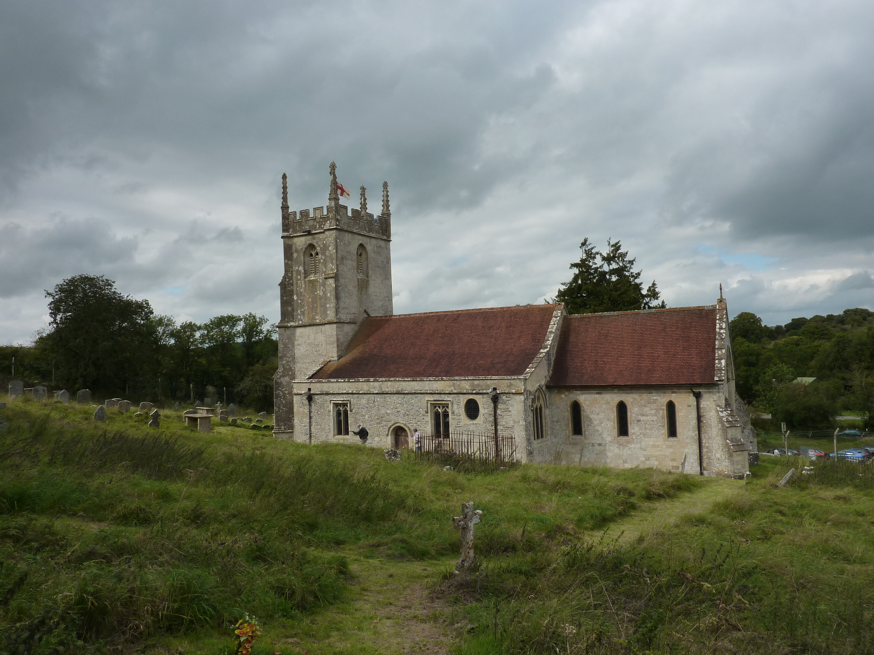
St Giles' Church, Imber

St Giles' Church is in the deserted village of Imber, Wiltshire, England, which since 1943 has been within the British Army's training area on Salisbury...

Imber

Imber is an uninhabited village and former civil parish within the British Army's training area, now in the parish of Heytesbury, on Salisbury Plain, Wiltshire...

Nearby Amenities

Located within 500m of 51.25366,-2.0753784
Coulston Down
Place: locality
Lat/Long: 51.2542335/-2.0760871
The data included in this document is from www.openstreetmap.org. The data is made available under ODbL.

Have you been to Coulston Down?

Leave your review of Coulston Down below (or comments, questions and feedback).