Knowsley Common

Downs, Moorland in Staffordshire Staffordshire Moorlands

England

Knowsley Common

Nice little mini A classic Mini parked on Thorney Edge Road, Bagnall.  I didn't see the owner so took advantage of the view.
Nice little mini Credit: Stu JP

Knowsley Common is a prominent and picturesque area located in Staffordshire, England. Spanning across vast expanses of downs and moorland, it is a place of natural beauty and rich biodiversity. With its diverse landscape, Knowsley Common offers a unique experience for nature enthusiasts and outdoor adventurers alike.

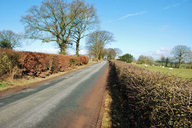
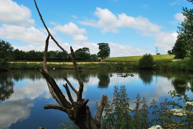
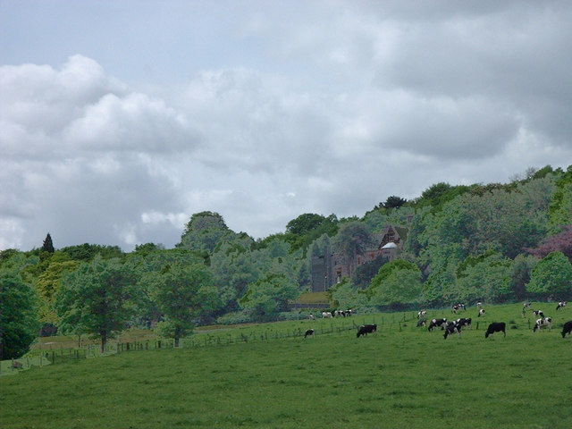
The downs of Knowsley Common are characterized by their gently rolling hills and open grasslands. These downs provide a habitat for a variety of plant species, ranging from colorful wildflowers to hearty grasses. The open spaces also attract a range of bird species, making it a popular spot for birdwatching enthusiasts.

In contrast, the moorland of Knowsley Common offers a rugged and wilder terrain. Here, visitors can find themselves surrounded by heather-covered hills, peat bogs, and rocky outcrops. The moorland is home to a range of wildlife, including grouse, foxes, and deer. It is also a sanctuary for several bird species, such as merlins and hen harriers.

Knowsley Common is not only a haven for wildlife but also offers numerous recreational activities. Hiking and walking trails crisscross the area, allowing visitors to explore its diverse landscapes. The downs provide an ideal location for picnics and leisurely walks, while the moorland offers a more challenging terrain for those seeking a thrilling adventure.

Overall, Knowsley Common in Staffordshire is a captivating natural landscape that showcases the beauty and diversity of the English countryside. Whether one seeks tranquility, wildlife observation, or outdoor exploration, this area provides a memorable experience for all who visit.

If you have any feedback on the listing, please let us know in the comments section below.

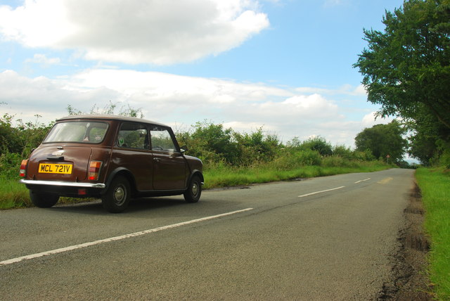
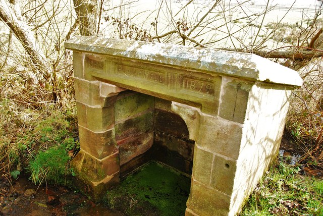
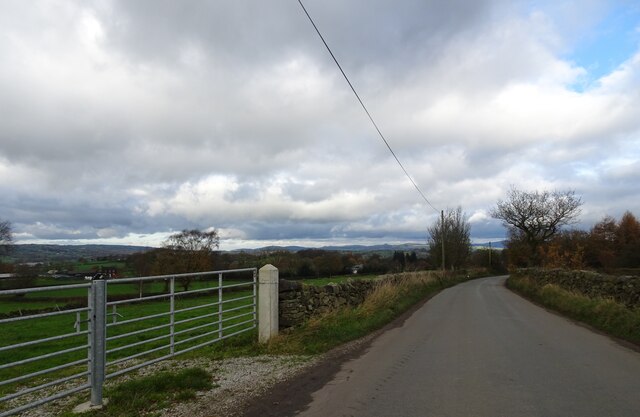
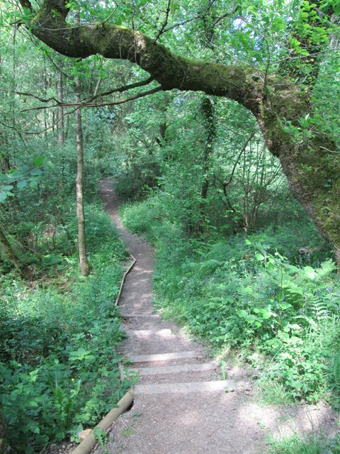
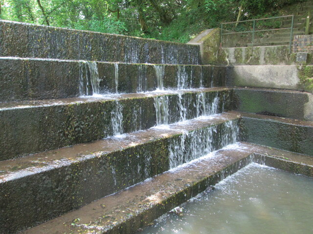
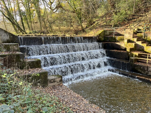
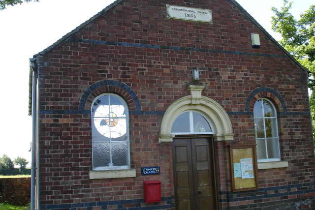
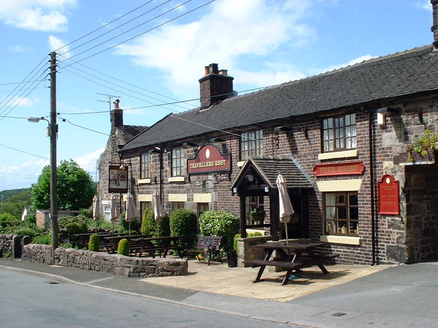
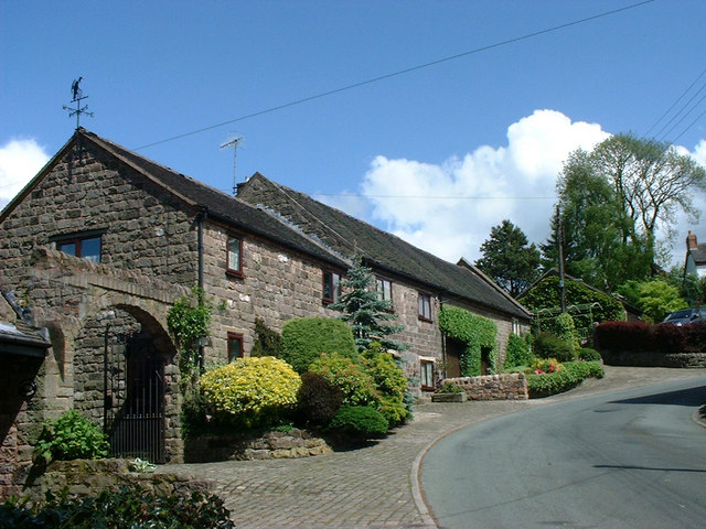
Knowsley Common Images

Images are sourced within 2km of 53.059291/-2.0811285 or Grid Reference SJ9451. Thanks to Geograph Open Source API. All images are credited.

Nice little mini A classic Mini parked on Thorney Edge Road, Bagnall.  I didn't see the owner so took advantage of the view.
Nice little mini
A classic Mini parked on Thorney Edge Road, Bagnall. I didn't see the owner so took advantage of the view.
Rownall Road, Wetley Rocks This road takes you to Thorneyedge Road and is close to the power station.
Rownall Road, Wetley Rocks
This road takes you to Thorneyedge Road and is close to the power station.
Public Well, Armshead Road One of many public wells in Staffordshire Moorlands.
Public Well, Armshead Road
One of many public wells in Staffordshire Moorlands.
Newfields Farm, Wetley Rocks This big pond is right next to the road and attracts some good wildlife.
Newfields Farm, Wetley Rocks
This big pond is right next to the road and attracts some good wildlife.
Park Lane  The view near Endon in the Staffordshire moorlands.
Park Lane
The view near Endon in the Staffordshire moorlands.
Pathway in Deep Hayes Country Park Returning northwards along the path south of  Hayes Pool.
Pathway in Deep Hayes Country Park
Returning northwards along the path south of Hayes Pool.
Spillway at Deep Hayes Country Park The stepped spillway at the northern end of Hayes Pool, in Deep Hayes Country Park.
Spillway at Deep Hayes Country Park
The stepped spillway at the northern end of Hayes Pool, in Deep Hayes Country Park.
Weir in Deep Hayes Country Park
Tomkin Chapel This tiny chapel in the middle of open country between Leek and Stoke on Trent has a fine stained glass window that can just be seen through the left window. Although the chapel is called Tomkin it is situated in an area known as Tompkin !!!!!
Tomkin Chapel
This tiny chapel in the middle of open country between Leek and Stoke on Trent has a fine stained glass window that can just be seen through the left window. Although the chapel is called Tomkin it is situated in an area known as Tompkin !!!!!
Stanley Pool Looking across Stanley Pool towards the dam. The water is used to feed into the Caldon Canal and subsequently the Trent & Mersey.
Stanley Pool
Looking across Stanley Pool towards the dam. The water is used to feed into the Caldon Canal and subsequently the Trent & Mersey.
Stanley Sailing Club Looking across Stanley Pool towards the sailing club and the dam at its northern end
Stanley Sailing Club
Looking across Stanley Pool towards the sailing club and the dam at its northern end
The Stafford Arms Public House, Bagnall At The Green, Bagnall
The Stafford Arms Public House, Bagnall
At The Green, Bagnall
St. Chad's Church, Bagnall In 1834 the Church of St. Chad replaced the old timber-framed chapel. The tower and chancel were added in 1887
St. Chad's Church, Bagnall
In 1834 the Church of St. Chad replaced the old timber-framed chapel. The tower and chancel were added in 1887
Tower of St. Chad's Church, Bagnall The tower and chancel were added in 1887

For picture of the Church: <a title="https://www.geograph.org.uk/photo/339363" href="https://www.geograph.org.uk/photo/339363">Link</a>
Tower of St. Chad's Church, Bagnall
The tower and chancel were added in 1887 For picture of the Church: Link
St. Chad's House, Bagnall Corner of The Green and Spring Bank.
St. Chad's house has traces of the original 17th century building but was substantially remodelled in the 19th C when the roof was raised.
St. Chad's House, Bagnall
Corner of The Green and Spring Bank. St. Chad's house has traces of the original 17th century building but was substantially remodelled in the 19th C when the roof was raised.
Sign at Stafford Arms pub, Bagnall The sign shows a four towered castle and lions which are typical of the Stafford Arms.
See the arms on Longton railway bridge:- <a title="https://www.geograph.org.uk/photo/334799" href="https://www.geograph.org.uk/photo/334799">Link</a>

See photo of the Stafford Arms pub:- <a title="https://www.geograph.org.uk/photo/339316" href="https://www.geograph.org.uk/photo/339316">Link</a>
Sign at Stafford Arms pub, Bagnall
The sign shows a four towered castle and lions which are typical of the Stafford Arms. See the arms on Longton railway bridge:- Link See photo of the Stafford Arms pub:- Link
Travellers Rest Travellers Rest pub in Stanley
Travellers Rest
Travellers Rest pub in Stanley
Cicely Haughton School A special needs school for primary age children
Cicely Haughton School
A special needs school for primary age children
Show me another place!

Knowsley Common is located at Grid Ref: SJ9451 (Lat: 53.059291, Lng: -2.0811285)

Administrative County: Staffordshire

District: Staffordshire Moorlands

Police Authority: Staffordshire

What 3 Words

///worthy.snooze.throw. Near Cheddleton, Staffordshire

Nearby Locations

Tompkin Knowsley Common

Related Wikis

Bagnall, Staffordshire

Bagnall is a village and civil parish in Staffordshire, England, north-east of Stoke-on-Trent. Although Bagnall is located only a few short miles from...

Stanley, Staffordshire

Stanley is a small village in the Staffordshire Moorlands district of Staffordshire, England, about 4 miles (6.4 km) southwest of Leek. The village of...

Deep Hayes Country Park

Deep Hayes Country Park is a country park in Staffordshire, England. It is about 3 miles (4.8 km) south-west of Leek, a short distance south of the A53...

Endon and Stanley

Endon and Stanley is a civil parish in Staffordshire, England, containing the villages Endon and Stanley. The civil parish (replacing a civil parish containing...

Nearby Amenities

Located within 500m of 53.059291,-2.0811285
Power: tower
Lat/Long: 53.0558287/-2.0835104
Power: tower
Lat/Long: 53.0590382/-2.0842143
Power: tower
Lat/Long: 53.0623384/-2.0849822
The data included in this document is from www.openstreetmap.org. The data is made available under ODbL.

Have you been to Knowsley Common?

Leave your review of Knowsley Common below (or comments, questions and feedback).