Holystone Common

Downs, Moorland in Northumberland

England

Holystone Common

Hope the picnic tables are alright The car park and picnic area at the entrance to Holystone Woods forest trails are unrecognisable.  This area contained some massive pines.  Storm Arwen flattened it despite its location down in the valley.
Hope the picnic tables are alright Credit: Leanmeanmo

Holystone Common is a picturesque area located in Northumberland, England. It is nestled within the scenic landscape of the Northumberland National Park, renowned for its natural beauty and stunning views. The common is situated on the border between the counties of Northumberland and Tyne and Wear.

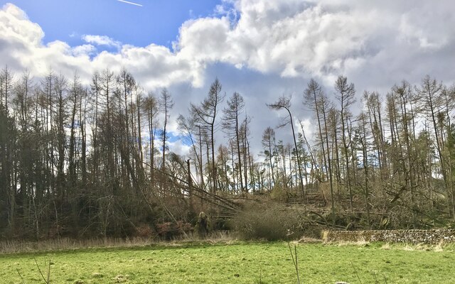
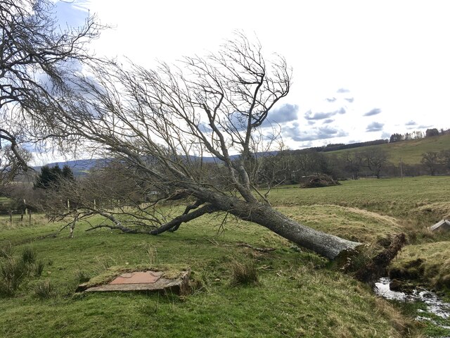
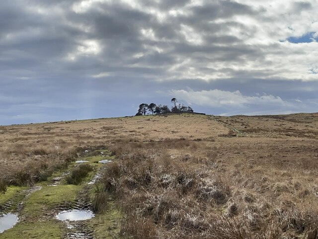
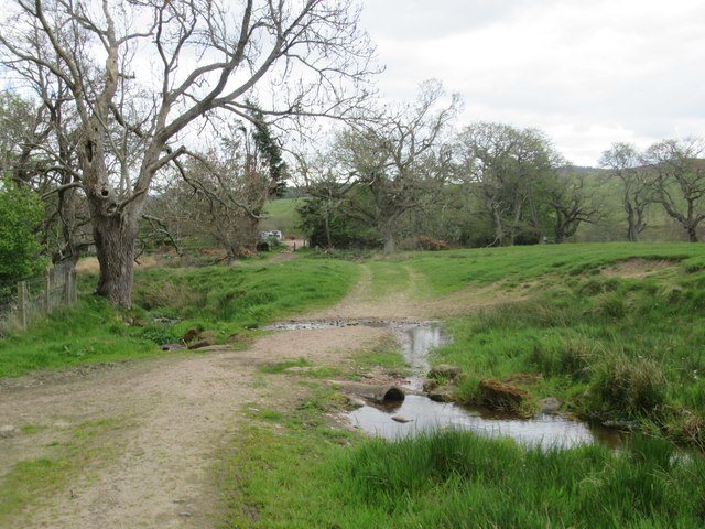
Covering an expansive area, Holystone Common is characterized by its diverse terrain, encompassing downs, moorland, and rolling hills. The common is predominantly heather-covered, creating a vibrant purple hue during the summer months. This unique and untouched landscape offers visitors an opportunity to immerse themselves in the tranquility of nature.

The common is home to a variety of wildlife, including several rare bird species such as curlews and peregrine falcons. The moorland habitats provide nesting grounds for these birds, making it a popular spot for birdwatching enthusiasts.

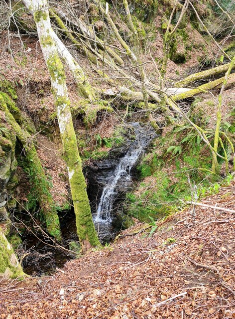
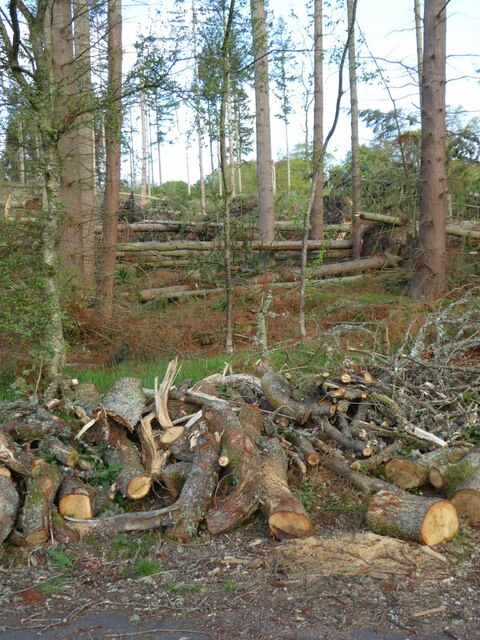
For those who enjoy outdoor activities, Holystone Common offers numerous opportunities for walking, hiking, and cycling. The extensive network of trails allows visitors to explore the area's natural wonders at their own pace. Additionally, the common acts as a gateway to nearby attractions such as Holystone Forest, which is known for its ancient trees and enchanting woodland walks.

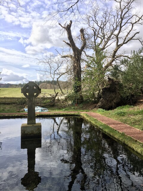
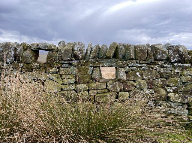
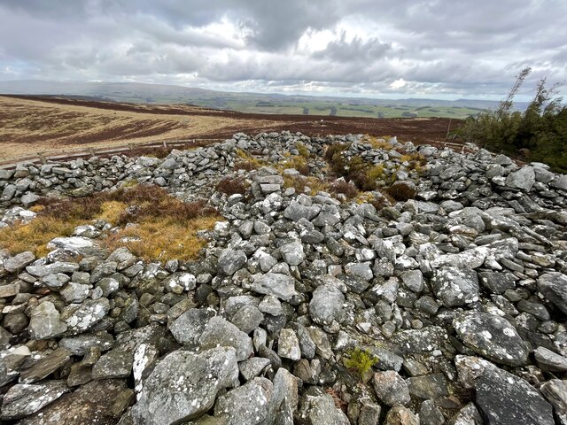
Holystone Common also holds historical significance, with remnants of ancient settlements dating back to the Bronze Age. Archaeological sites, including burial mounds and stone circles, provide a glimpse into the area's rich past.

Overall, Holystone Common in Northumberland is a true haven for nature lovers, offering breathtaking landscapes, abundant wildlife, and a chance to connect with the region's ancient history.

If you have any feedback on the listing, please let us know in the comments section below.

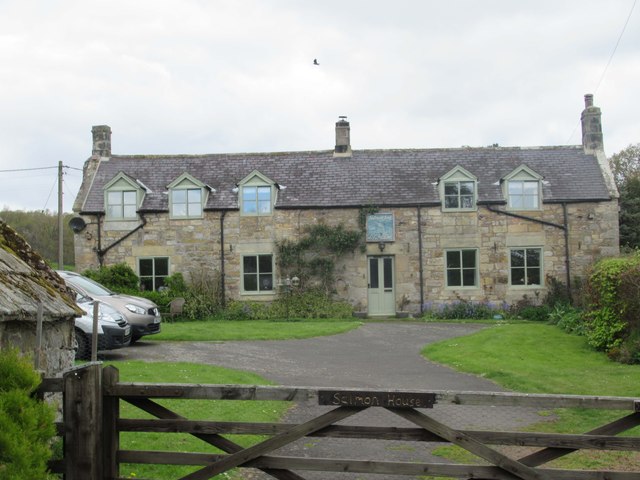
Holystone Common Images

Images are sourced within 2km of 55.307417/-2.0866754 or Grid Reference NT9401. Thanks to Geograph Open Source API. All images are credited.

Hope the picnic tables are alright The car park and picnic area at the entrance to Holystone Woods forest trails are unrecognisable.  This area contained some massive pines.  Storm Arwen flattened it despite its location down in the valley.
Hope the picnic tables are alright
The car park and picnic area at the entrance to Holystone Woods forest trails are unrecognisable. This area contained some massive pines. Storm Arwen flattened it despite its location down in the valley.
Snapped like a twig This small copse of trees is in an exposed location but Scots Pine are noted for their ability to survive in the north British climate, although they often lose limbs.  To snap a mature specimen like this clean in two tells the tale of the ferocity of Arwen's gusts.
Snapped like a twig
This small copse of trees is in an exposed location but Scots Pine are noted for their ability to survive in the north British climate, although they often lose limbs. To snap a mature specimen like this clean in two tells the tale of the ferocity of Arwen's gusts.
Storm Arwen devastation near North Yardhope This small copse of trees is in an exposed location surrounded by a dry stone wall that has a curious four pointed star shape, possibly built originally for military training purposes.  It's still used for such activities, situated on the very fringe of the Otterburn Ranges.  Storm Arwen must have hit it hard, having a clear run at it from the north.  For comparison see an earlier view from much the same location.
<a href="https://www.geograph.org.uk/photo/3685047">NT9300 : Small plantation south of Pedlar's Stone</a>
Storm Arwen devastation near North Yardhope
This small copse of trees is in an exposed location surrounded by a dry stone wall that has a curious four pointed star shape, possibly built originally for military training purposes. It's still used for such activities, situated on the very fringe of the Otterburn Ranges. Storm Arwen must have hit it hard, having a clear run at it from the north. For comparison see an earlier view from much the same location. NT9300 : Small plantation south of Pedlar's Stone
Storm Arwen destruction at Harbottle Wood Just a sample of the devastation wrought by Storm Arwen.  Localised examples like this can be seen in many parts of this forest.
Storm Arwen destruction at Harbottle Wood
Just a sample of the devastation wrought by Storm Arwen. Localised examples like this can be seen in many parts of this forest.
Storm Arwen near Holystone Everywhere one goes in mid and north Northumberland one sees the consequences of Storm Arwen's ferocity in swathes of fallen trees. On November 26th 2021 the storm is estimated to have damaged 16 million trees: the Great Storm of 1987 destroyed 15 million trees.
Storm Arwen near Holystone
Everywhere one goes in mid and north Northumberland one sees the consequences of Storm Arwen's ferocity in swathes of fallen trees. On November 26th 2021 the storm is estimated to have damaged 16 million trees: the Great Storm of 1987 destroyed 15 million trees.
Storm Arwen damage at the Lady's Well Fortunately this huge tree fell out of the enclosure rather than into it.
Storm Arwen damage at the Lady's Well
Fortunately this huge tree fell out of the enclosure rather than into it.
Storm Arwen damage at the Lady's Well Fortunately this huge tree fell out of the enclosure rather than into it.
Storm Arwen damage at the Lady's Well
Fortunately this huge tree fell out of the enclosure rather than into it.
Storm Arwen damage near the Lady's Well Everywhere one goes in mid and north Northumberland one sees the consequences of Storm Arwen's ferocity in swathes of fallen trees. On November 26th 2021 the storm is estimated to have damaged 16 million trees: the Great Storm of 1987 destroyed 15 million trees.
Storm Arwen damage near the Lady's Well
Everywhere one goes in mid and north Northumberland one sees the consequences of Storm Arwen's ferocity in swathes of fallen trees. On November 26th 2021 the storm is estimated to have damaged 16 million trees: the Great Storm of 1987 destroyed 15 million trees.
Waterfall at Rob Roy's Cave The cave is immediately to the left of this photo. The Dovecrag Burn boasts a number of small waterfalls though, as here, it rarely carries much water. The deep, narrow gorge is littered with fallen and decayed tree limbs which have become permanently trapped, rendering access difficult.
Waterfall at Rob Roy's Cave
The cave is immediately to the left of this photo. The Dovecrag Burn boasts a number of small waterfalls though, as here, it rarely carries much water. The deep, narrow gorge is littered with fallen and decayed tree limbs which have become permanently trapped, rendering access difficult.
Cascade on the Dovecrag Burn The Dovecrag Burn boasts a number of small waterfalls though, as here, it rarely carries much water. The deep, narrow gorge is littered with fallen and decayed tree limbs which have become permanently trapped, rendering access difficult.
Cascade on the Dovecrag Burn
The Dovecrag Burn boasts a number of small waterfalls though, as here, it rarely carries much water. The deep, narrow gorge is littered with fallen and decayed tree limbs which have become permanently trapped, rendering access difficult.
Waterfalls on the Dovecrag Burn Just upstream of Rob Roy's Cave. The Dovecrag Burn boasts a number of small waterfalls though, as here, it rarely carries much water.
Waterfalls on the Dovecrag Burn
Just upstream of Rob Roy's Cave. The Dovecrag Burn boasts a number of small waterfalls though, as here, it rarely carries much water.
Storm Arwen brought down many trees  Some of the trees are being 'recycled' as firewood!
Storm Arwen brought down many trees
Some of the trees are being 'recycled' as firewood!
Small copse of Scots Pine in walled enclosure The enclosure is a curious shape (see 1:25000 OS map)  and  is probably of military origin as it contains firing loops.   Although it's  outside the boundary of the Otterburn Ranges it is still used by troops in training exercises.
Small copse of Scots Pine in walled enclosure
The enclosure is a curious shape (see 1:25000 OS map) and is probably of military origin as it contains firing loops. Although it's outside the boundary of the Otterburn Ranges it is still used by troops in training exercises.
Another Storm Arwen ravaged copse of trees Like its near neighbour this small walled enclosure is probably of military origin since it boasts gun loops.  Although it's well outside the boundary of the Otterburn Ranges, it too is still used by troops in training, evidenced by the odd cartridge case lying around.  See

<a href="https://www.geograph.org.uk/photo/7441540">NT9300 : Small copse of Scots Pine in walled enclosure</a>
Another Storm Arwen ravaged copse of trees
Like its near neighbour this small walled enclosure is probably of military origin since it boasts gun loops. Although it's well outside the boundary of the Otterburn Ranges, it too is still used by troops in training, evidenced by the odd cartridge case lying around. See NT9300 : Small copse of Scots Pine in walled enclosure
Firing loops One of a number of groups of gun loops set into the wall enclosing a small copse of Scots Pine.  See

<a href="https://www.geograph.org.uk/photo/7441544">NT9400 : Another Storm Arwen ravaged copse of trees</a>
Firing loops
One of a number of groups of gun loops set into the wall enclosing a small copse of Scots Pine. See NT9400 : Another Storm Arwen ravaged copse of trees
Dues Hill round cairn Archaeological site.  Scheduled Monument, see

<span class="nowrap"><a title="https://historicengland.org.uk/listing/the-list/list-entry/1021032" rel="nofollow ugc noopener" href="https://historicengland.org.uk/listing/the-list/list-entry/1021032">Link</a><img style="margin-left:2px;" alt="External link" title="External link - shift click to open in new window" src="https://s1.geograph.org.uk/img/external.png" width="10" height="10"/></span>
Dues Hill round cairn
Archaeological site. Scheduled Monument, see LinkExternal link
Salmon House once The Salmon Inn Sadly like many country pubs and the disease is spreading urban areas with so many watering holes closing.
Salmon House once The Salmon Inn
Sadly like many country pubs and the disease is spreading urban areas with so many watering holes closing.
Ford through Unnamed Burn I think this might be a drainage ditch rather than a burn.
Ford through Unnamed Burn
I think this might be a drainage ditch rather than a burn.
Show me another place!

Holystone Common is located at Grid Ref: NT9401 (Lat: 55.307417, Lng: -2.0866754)

Unitary Authority: Northumberland

Police Authority: Northumbria

What 3 Words

///paid.takers.chum. Near Otterburn, Northumberland

Nearby Locations

Holystone Common

Related Wikis

Holystone, Northumberland

Holystone is a small village and former civil parish, now in the parish of Harbottle, in Northumberland, England. It lies on the edge of (and just within...

Sharperton

Sharperton is a small settlement and former civil parish, now in the parish of Harbottle, in Northumberland, England. Sharperton is the site of a deserted...

Harbottle

Harbottle is a village and civil parish in Northumberland, England about 10 miles (16 km) south-east of the Scottish border, in the southeastern part of...

Harbottle Castle

Harbottle Castle is a ruined medieval castle situated at the west end of the village of Harbottle, Northumberland, England, 9 miles (14 km) west-north...

Have you been to Holystone Common?

Leave your review of Holystone Common below (or comments, questions and feedback).