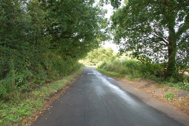
Old Ride

Downs, Moorland in Staffordshire South Staffordshire

England

Old Ride

A460 from Old Cannock Road Junction Near Sharehill. The area to the right of the road is the site of a large boot sale
A460 from Old Cannock Road Junction Credit: John Firth

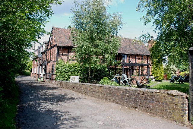
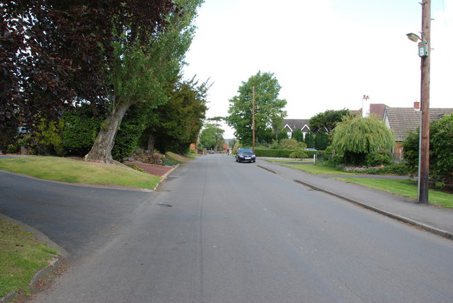
Old Ride is a picturesque area located in Staffordshire, England, renowned for its stunning countryside views and serene atmosphere. It is situated on the outskirts of the town of Stafford, nestled between the Downs and Moorland regions. The area's natural beauty attracts visitors from far and wide, making it a popular destination for outdoor enthusiasts and nature lovers.

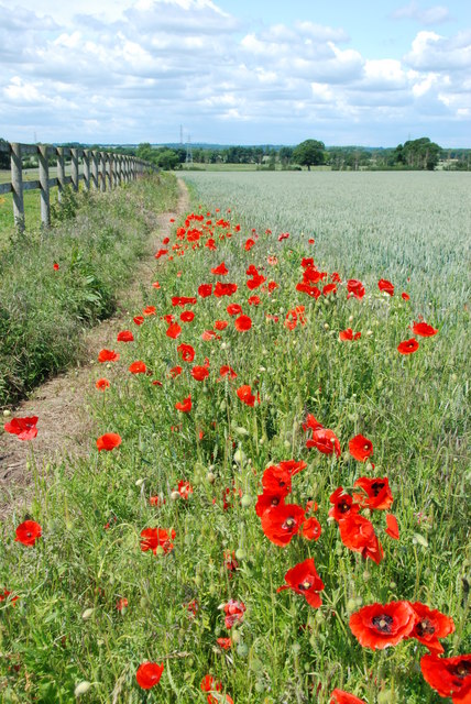
The Downs of Old Ride offer breathtaking panoramic views of rolling hills, lush green pastures, and meandering streams. Visitors can enjoy leisurely walks or indulge in activities like hiking, cycling, and horse riding along the well-maintained trails. The expansive Moorland area, on the other hand, features vast open spaces covered in heather and bracken. This unique landscape provides a habitat for a variety of wildlife, including birds of prey, wild ponies, and other indigenous species.

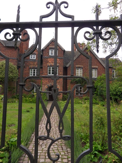
In addition to its natural wonders, Old Ride also boasts a rich cultural heritage. The area is dotted with historical landmarks, such as ancient burial mounds, standing stones, and remnants of old settlements. These archaeological sites offer a glimpse into the region's past, allowing visitors to delve into its intriguing history.

Old Ride is well-equipped to cater to the needs of visitors, with several quaint villages and towns in the vicinity offering a range of amenities, including cozy accommodations, traditional pubs, and charming tea rooms. Whether it's exploring the breathtaking landscapes, immersing oneself in history, or simply enjoying the tranquility of the countryside, Old Ride is a hidden gem that promises an unforgettable experience for all who venture there.

If you have any feedback on the listing, please let us know in the comments section below.
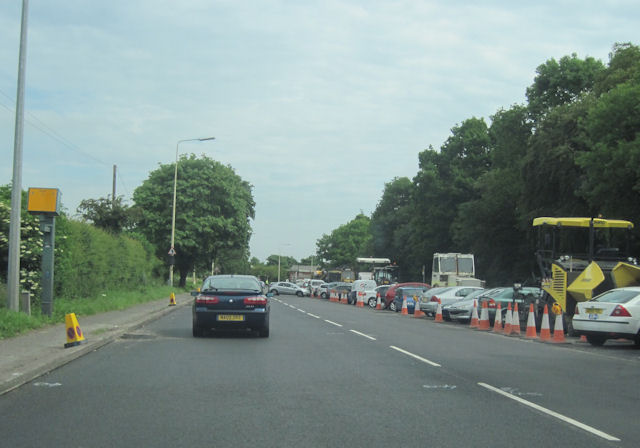
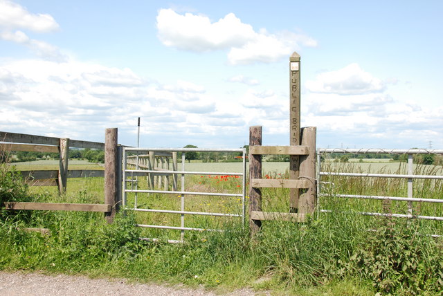
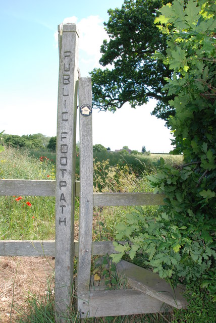
Old Ride Images

Images are sourced within 2km of 52.640355/-2.0846047 or Grid Reference SJ9404. Thanks to Geograph Open Source API. All images are credited.

A460 from Old Cannock Road Junction Near Sharehill. The area to the right of the road is the site of a large boot sale
A460 from Old Cannock Road Junction
Near Sharehill. The area to the right of the road is the site of a large boot sale
Public Bridleway, Featherstone Lane
Bridleway from Featherstone Lane
Footpath from Featherstone Lane
Entrance to Featherstone Lane
Featherstone Farm Hotel, Featherstone
Cat and Kittens Lane, Featherstone This road runs between the former ordnance site near Featherstone and the M54, hence the road sign.
Cat and Kittens Lane, Featherstone
This road runs between the former ordnance site near Featherstone and the M54, hence the road sign.
Baneberry Drive, Featherstone
Church Road, Shareshill
Shareshill Post Office and Stores, Shareshill
Moseley Gate The front gated entrance to Moseley Old Hall.
Moseley Gate
The front gated entrance to Moseley Old Hall.
Moseley Wall Moseley Old Hall front elevation viewed from Moseley Old Hall Lane.
Moseley Wall
Moseley Old Hall front elevation viewed from Moseley Old Hall Lane.
Moseley Old Hall The Knot garden to the side elevation of Moseley Old Hall.
Moseley Old Hall
The Knot garden to the side elevation of Moseley Old Hall.
Behind Moseley Rear elevation of Moseley Old Hall.
Behind Moseley
Rear elevation of Moseley Old Hall.
Moseley Knot Knot garden to the side of Moseley Old Hall.
Moseley Knot
Knot garden to the side of Moseley Old Hall.
Moseley Old Hall Front elevation.
Moseley Old Hall
Front elevation.
Public Bridleway to Featherstone This bridleway leaves Moseley road, goes under the M54, and on towards Featherstone.
Public Bridleway to Featherstone
This bridleway leaves Moseley road, goes under the M54, and on towards Featherstone.
Moseley Road from A460 to Moseley Hall This road is fairly narrow, with some bad bends, but is the access road from A460 to the National Trust property, Moseley Old Hall.
Moseley Road from A460 to Moseley Hall
This road is fairly narrow, with some bad bends, but is the access road from A460 to the National Trust property, Moseley Old Hall.
Show me another place!

Old Ride is located at Grid Ref: SJ9404 (Lat: 52.640355, Lng: -2.0846047)

Administrative County: Staffordshire

District: South Staffordshire

Police Authority: Staffordshire

What 3 Words

///result.snow.sulk. Near Featherstone, Staffordshire

Related Wikis

Featherstone, Staffordshire

Featherstone is a town in the district of South Staffordshire, England, near to the border with Wolverhampton. == History == Originally a farming community...
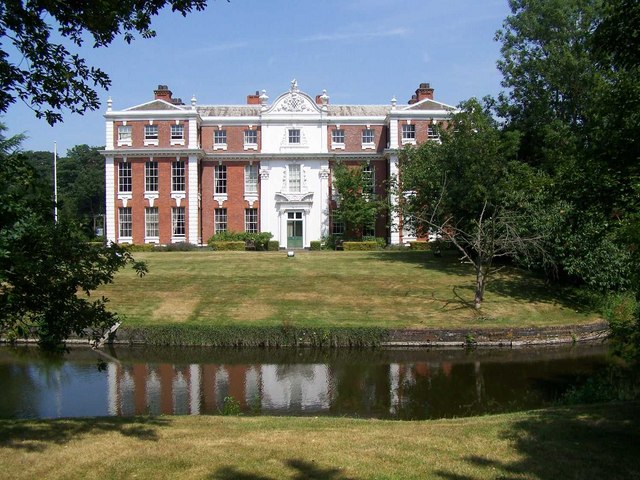
Hilton Hall

Hilton Hall is an 18th-century mansion house now in use as an Office and Business Centre at Hilton, near Wolverhampton, in Staffordshire. It is a Grade...

Brinsford Lodge

Brinsford Lodge was a hall of residence for The Polytechnic, Wolverhampton (now the University of Wolverhampton) from the mid-1960s to the early 1980s...

Moseley Old Hall

Moseley Old Hall is located in Fordhouses, north of Wolverhampton in the United Kingdom. It is notable as one of the hiding places of Charles II during...

Related Videos

Halloween Pumpkins #halloween #pumpkin#farm #walking #squash

A trip to the farm to collect pumpkins for Halloween . A family run farm situated north of Wolverhampton, with a fifty acre pick your ...

Nearby Amenities

Located within 500m of 52.640355,-2.0846047
Note: 40 mph speed limit sign
Lat/Long: 52.6402812/-2.0890019
Bus Stop
South Crescent
Bus: yes
Naptan AtcoCode: 3800C613601
Naptan Bearing: W
Naptan CommonName: South Crescent
Naptan Indicator: Adj
Naptan Landmark: South Crescent
Naptan Street: The Avenue
Naptan Verified: no
Public Transport: platform
Source: naptan_import
Lat/Long: 52.6431337/-2.0888131
Bus Stop
South Crescent
Bus: yes
Naptan AtcoCode: 3800C613602
Naptan Bearing: E
Naptan CommonName: Olde Hall Road
Naptan Indicator: Adj
Naptan Landmark: Olde Hall Road
Naptan Street: The Avenue
Naptan Verified: no
Public Transport: platform
Source: naptan_import
Lat/Long: 52.6432533/-2.0892965
Roundabout
Naptan AtcoCode: 3800C618101
Naptan Bearing: S
Naptan CommonName: Roundabout
Naptan Indicator: Adj
Naptan Landmark: Roundabout
Naptan Street: Cannock Road
Naptan Verified: no
Source: naptan_import
Lat/Long: 52.641457/-2.0868986
Bus Stop
The Avenue
Bus: yes
Naptan AtcoCode: 3800C618102
Naptan Bearing: N
Naptan CommonName: The Avenue
Naptan Indicator: adj
Naptan Street: Cannock Road
Naptan Verified: no
Public Transport: platform
Source: naptan_import
Lat/Long: 52.6416457/-2.0870911
Bus Stop
The Avenue
Bus: yes
Naptan AtcoCode: 3800C622301
Naptan Bearing: S
Naptan CommonName: The Avenue
Naptan Indicator: Opp
Naptan Street: Cannock Road
Naptan Verified: no
Public Transport: platform
Source: naptan_import
Lat/Long: 52.6421675/-2.0865453
Bus Stop
Hilton Cross
Bus: yes
Naptan AtcoCode: 3800C690601
Naptan Bearing: SW
Naptan CommonName: Hilton Services
Naptan Indicator: Adj
Naptan Landmark: Hilton Services
Naptan Street: Cannock Road
Naptan Verified: no
Public Transport: platform
Source: naptan_import
Lat/Long: 52.6372023/-2.0896868
Post Office
Featherstone Post Office
Addr City: Wolverhampton
Addr Housenumber: 10
Addr Postcode: WV10 7AA
Addr Street: Cannock Road
Addr Village: Featherstone
Brand: Post Office
Brand Wikidata: Q1783168
Opening Hours: Mo-Sa 07:30-20:00; Su 11:00-18:00
Ref Pol Id: 5127
Website: https://www.postoffice.co.uk/branch-finder/1782460/featherstone
Lat/Long: 52.6428877/-2.0869154
Pub
Red White & Blue
Lat/Long: 52.6443987/-2.08657
Doctors
Healthcare: doctor
Lat/Long: 52.6429057/-2.0877717
Pharmacy
Healthcare: pharmacy
Lat/Long: 52.6430554/-2.0873318
Cafe
Lat/Long: 52.6430749/-2.0877073
Fast Food
Featherstone Fish Bar
Lat/Long: 52.6431358/-2.0897028
Place Of Worship
Methodist Chapel
Denomination: methodist
Religion: christian
Lat/Long: 52.6432247/-2.0873961
Speed Camera
Lat/Long: 52.6434363/-2.0866911
Traffic Calming: hump
Lat/Long: 52.6432233/-2.0894802
Traffic Calming: hump
Lat/Long: 52.643056/-2.0870864
The data included in this document is from www.openstreetmap.org. The data is made available under ODbL.

Have you been to Old Ride?

Leave your review of Old Ride below (or comments, questions and feedback).