Calderbrook Moor
Downs, Moorland in Lancashire
England
Calderbrook Moor

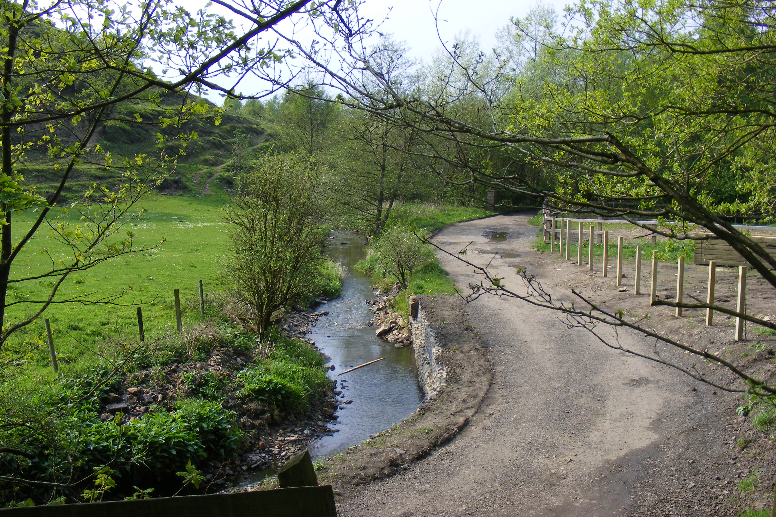
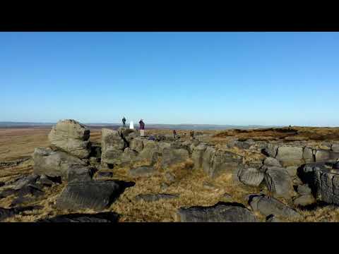
Calderbrook Moor is a picturesque area located in Lancashire, England. Situated in the southern part of the county, it is known for its stunning downs and moorland landscapes. The moor stretches over a vast area, encompassing rolling hills, open grasslands, and patches of heather, creating a diverse and rich ecosystem.
The moorland of Calderbrook is characterized by its unique flora and fauna. Heather dominates the landscape, providing a vibrant purple hue during the flowering season. Various species of grasses, mosses, and wildflowers can also be found, adding to the area's natural beauty. This rich vegetation supports a wide range of wildlife, including birds such as curlews, lapwings, and skylarks, which can often be seen soaring above the moor.
The area is also home to several streams and small rivers, which meander through the moor, creating a serene and tranquil atmosphere. These water bodies not only enhance the aesthetic appeal of Calderbrook Moor but also serve as a vital water source for the surrounding wildlife.
Calderbrook Moor offers numerous recreational opportunities for visitors. It is a popular destination for hikers, nature enthusiasts, and birdwatchers, who are drawn to its unspoiled natural beauty. The moorland provides ample space for outdoor activities such as walking, picnicking, and photography.
Overall, Calderbrook Moor in Lancashire is a stunning and diverse natural area, offering a tranquil escape from the bustling city life. Its downs and moorland landscapes, abundant wildlife, and recreational opportunities make it a must-visit destination for nature lovers.
If you have any feedback on the listing, please let us know in the comments section below.
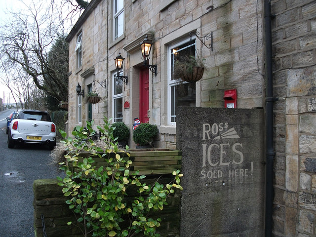
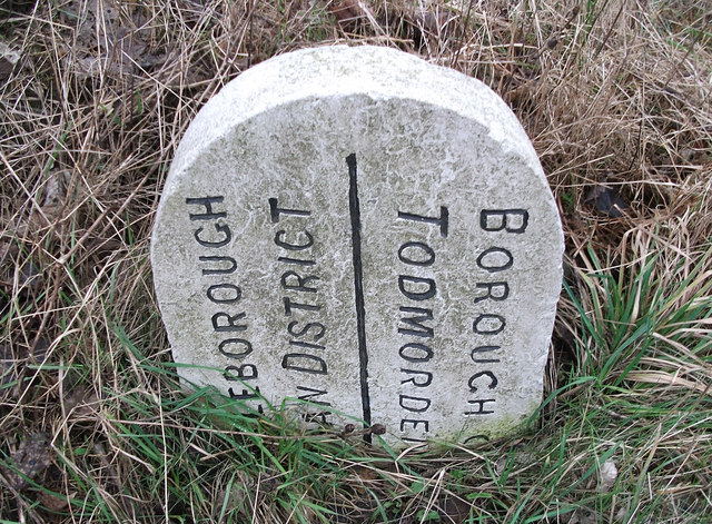
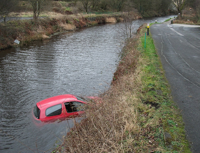
Calderbrook Moor Images
Images are sourced within 2km of 53.668702/-2.0917729 or Grid Reference SD9419. Thanks to Geograph Open Source API. All images are credited.


Calderbrook Moor is located at Grid Ref: SD9419 (Lat: 53.668702, Lng: -2.0917729)
Unitary Authority: Rochdale
Police Authority: Greater Manchester
What 3 Words
///piper.opened.accented. Near Littleborough, Manchester
Nearby Locations
Related Wikis

Summit Tunnel fire
The Summit Tunnel fire occurred on 20 December 1984, when a dangerous goods train caught fire while passing through the Summit Tunnel on the railway line...

Calderbrook
Calderbrook ( KAWL-dər-bruuk) is a village within the Metropolitan Borough of Rochdale, in Greater Manchester, England. It was originally part of the township...

Summit Tunnel
Summit Tunnel in England is one of the world's oldest railway tunnels. It was constructed between 1838 and 1841 by the Manchester and Leeds Railway Company...

Greenvale Brook
Greenvale Brook is a watercourse in Greater Manchester and a tributary of the River Roch. == Tributaries == Lydgate Brook Castle Brook Red Brook Lead Mine...
Town House Brook
Town House Brook is a watercourse in Greater Manchester and a tributary of the River Roch. == Tributaries == Long Clough Brook Turn Slack Brook Blue Pot...

Littleborough, Greater Manchester
Littleborough ( LIT-əl-bər-ə) is a town in the Metropolitan Borough of Rochdale, Greater Manchester, England, in the upper Roch Valley by the foothills...
Ealees Brook
Ealees Brook is a water course in Greater Manchester named after the Ealees area of Littleborough. It flows northwards from the Ealees Valley to the River...

Littleborough railway station
Littleborough railway station serves the town of Littleborough in the Metropolitan Borough of Rochdale, Greater Manchester, England. It lies on the Calder...
Related Videos

Littleborough walking Route 1 - King William IV, Shore Moor, Watergrove Reservoir
Walking routes around Littleborough, for everyone to enjoy. This is a route starting at The King William IV pub in Shore, heading ...

Hiking near Littleborough. Hill spotting 15.
We carry on with our Hill spotting project. We walk from near The Whitehouse pub Littleborough along the reservoir walk. We then ...
Hill spotting 16 ,Hiking near Littleborough.(drone flight).
Hill spotting 16, We head up to the trig point between the Whitehouse pub and the M62 footbridge on the penning way. It's only a ...

After 7 miles walk #shorts #train #travel
Last moments of my walk from Firgrove Playing Field to Wallsend train stop, travelling back to Roachdale on train. #shorts #train ...
Nearby Amenities
Located within 500m of 53.668702,-2.0917729Have you been to Calderbrook Moor?
Leave your review of Calderbrook Moor below (or comments, questions and feedback).