Craighill Wood
Downs, Moorland in Kincardineshire
Scotland
Craighill Wood
Craighill Wood is a picturesque area located in Kincardineshire, Scotland. Spread across vast downs and moorland, it covers a total area of approximately 200 acres. The wood is situated on a gently sloping terrain, offering breathtaking views of the surrounding landscape.
The wood is predominantly made up of native Scottish trees such as oak, birch, and rowan, creating a diverse and vibrant ecosystem. These trees provide a haven for various bird species, including the elusive capercaillie, as well as smaller woodland creatures like squirrels and voles.
Walking through the wood, visitors can enjoy the tranquility and serenity it offers. The well-maintained paths are perfect for leisurely strolls or more adventurous hikes, catering to all fitness levels. Along the way, one can encounter hidden streams, cascading waterfalls, and even a small loch, adding a touch of magic to the experience.
Craighill Wood also boasts a rich history, with remnants of an ancient settlement dating back to the Bronze Age. Archaeological excavations have uncovered artifacts and evidence of human occupation, providing insights into Scotland's past.
The wood is a popular destination for nature enthusiasts, photographers, and those seeking a peaceful escape from the bustling city life. Whether it be for a picnic, birdwatching, or simply enjoying the stunning scenery, Craighill Wood offers a truly immersive and enchanting experience for visitors of all ages.
If you have any feedback on the listing, please let us know in the comments section below.
Craighill Wood Images
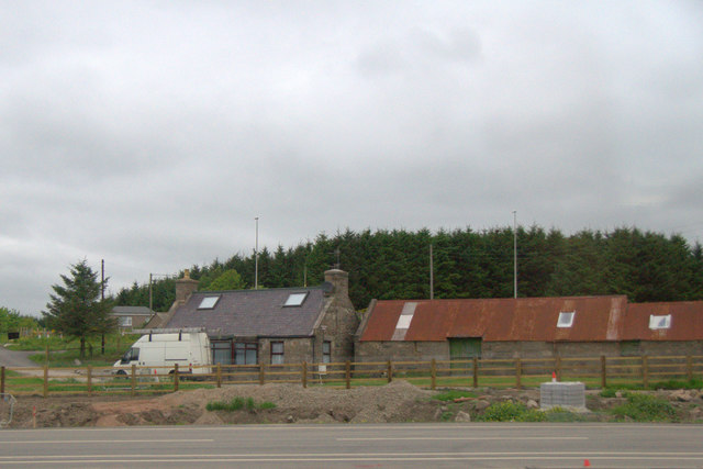
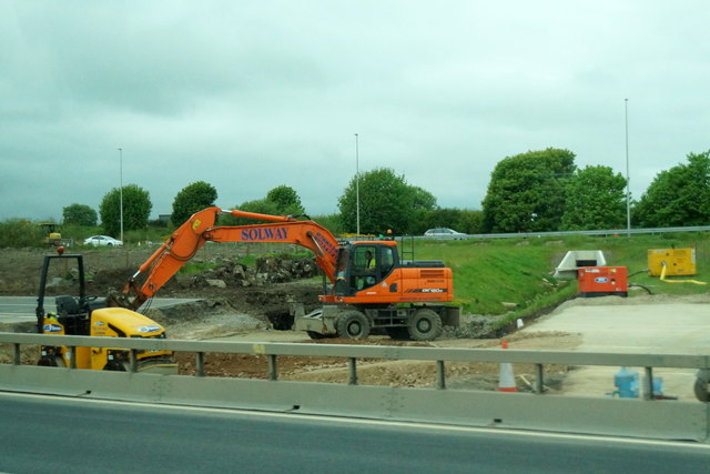
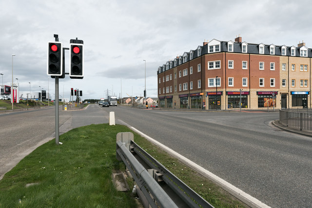
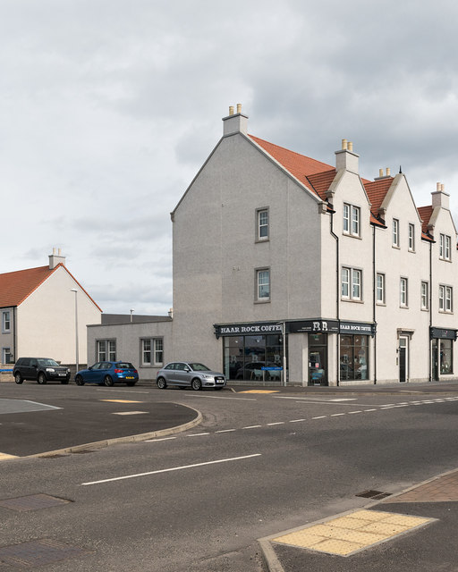
Images are sourced within 2km of 57.105135/-2.113043 or Grid Reference NJ9301. Thanks to Geograph Open Source API. All images are credited.


Craighill Wood is located at Grid Ref: NJ9301 (Lat: 57.105135, Lng: -2.113043)
Unitary Authority: City of Aberdeen
Police Authority: North East
What 3 Words
///amused.analogy.fall. Near Cove, Aberdeen
Nearby Locations
Related Wikis
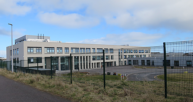
Lochside Academy
Lochside Academy is a co-educational secondary school in Altens, Aberdeen, run by Aberdeen City Council. Its feeder primary schools are Abbotswell School...

Cove Bay
Cove Bay, known locally as Cove, is a suburb on the south-east edge of Aberdeen, Scotland. Today Cove is home to around 8,000 people. It is a popular residential...

Nigg, Aberdeen
Nigg is an area of Aberdeen, Scotland, south of the River Dee. It has a population of 16,400 (2019 estimate). The area has a bay known as the Bay of Nigg...

Aberdeen South (UK Parliament constituency)
Aberdeen South is a burgh constituency of the House of Commons of the Parliament of the United Kingdom and it elects one Member of Parliament (MP) by the...
Nearby Amenities
Located within 500m of 57.105135,-2.113043Have you been to Craighill Wood?
Leave your review of Craighill Wood below (or comments, questions and feedback).