Perwinnes Moss

Downs, Moorland in Aberdeenshire

Scotland

Perwinnes Moss

Mill of Mundurno? Behind Premier Inn & restaurant bearing that name
Mill of Mundurno? Credit: Jim Smillie

Perwinnes Moss is a picturesque area located in Aberdeenshire, Scotland. Situated in the Downs region, it is known for its stunning moorland scenery and diverse wildlife. Spanning approximately 200 hectares, this area is an important habitat for various bird species, including red grouse, golden plover, and curlew.

The moss itself is characterized by its unique ecosystem, featuring a combination of wetlands, marshes, and peat bogs. These habitats support a wide range of flora and fauna, making it an ideal destination for nature enthusiasts and birdwatchers.

The landscape of Perwinnes Moss is dominated by heather-covered moorland, interspersed with patches of bog cotton and sphagnum moss. The different colors and textures create a visually striking panorama, particularly during the blooming season when the heather bursts into vibrant purple hues.

Visitors to Perwinnes Moss can enjoy several walking trails that wind through the area, offering breathtaking views of the surrounding countryside. These trails provide an opportunity to observe the rich biodiversity of the moss up close, as well as catch glimpses of other wildlife such as deer, hares, and foxes.

Perwinnes Moss is not only a haven for nature lovers but also serves as an important carbon sink, playing a crucial role in mitigating climate change. The peat bogs found here act as natural carbon stores, absorbing and storing significant amounts of carbon dioxide.

Overall, Perwinnes Moss in Aberdeenshire is a remarkable natural landscape that showcases the beauty and ecological importance of moorland ecosystems. Whether for leisurely walks or wildlife observation, it is an enchanting destination for anyone seeking a connection with nature.

If you have any feedback on the listing, please let us know in the comments section below.

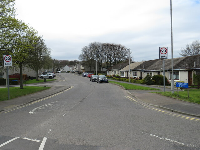
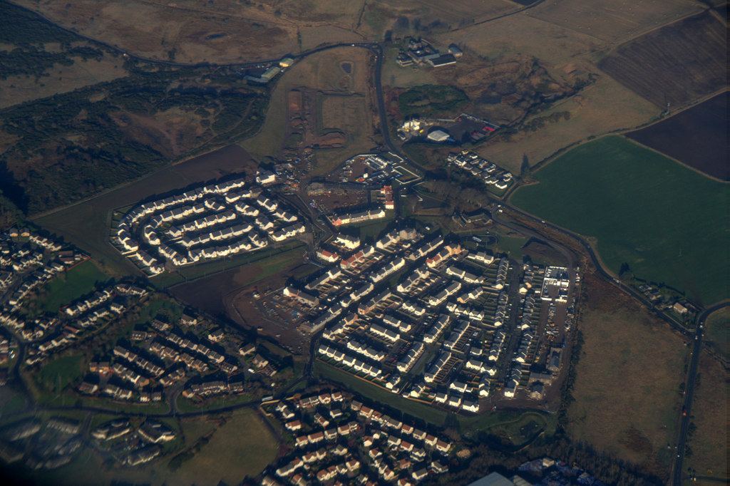
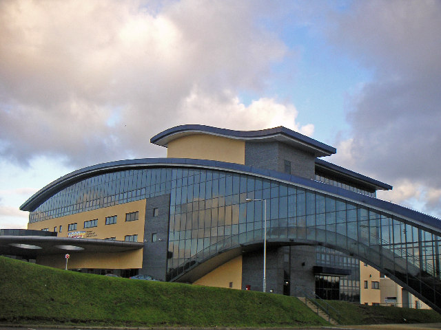
Perwinnes Moss Images

Images are sourced within 2km of 57.201126/-2.1152401 or Grid Reference NJ9312. Thanks to Geograph Open Source API. All images are credited.

Mill of Mundurno? Behind Premier Inn & restaurant bearing that name
Mill of Mundurno?
Behind Premier Inn & restaurant bearing that name
View from Beer Garden Towards retail park on a grey Sunday morning
View from Beer Garden
Towards retail park on a grey Sunday morning
Premier Inn: Bridge of Don Mill of Mundurno restaurant on left
Premier Inn: Bridge of Don
Mill of Mundurno restaurant on left
Sand Pit, Scotstown Geology students from the University of Aberdeen visiting what was a working quarry when the photograph was taken in 1974. The sands and gravels are bedded and are of Pleistocene age.
Sand Pit, Scotstown
Geology students from the University of Aberdeen visiting what was a working quarry when the photograph was taken in 1974. The sands and gravels are bedded and are of Pleistocene age.
Berryhill Crescent, Bridge of Don, Aberdeen Berryhill Crescent is a recently-built road leading into an industrial estate at Bridge of Don, in the northern outskirts of Aberdeen on Scotland's North Sea coast.
Berryhill Crescent, Bridge of Don, Aberdeen
Berryhill Crescent is a recently-built road leading into an industrial estate at Bridge of Don, in the northern outskirts of Aberdeen on Scotland's North Sea coast.
Minor road at Bridge of Don, Aberdeen An un-named minor road at Bridge of Don, in the northern outskirts of Aberdeen on Scotland's North Sea coast.  The sea and an offshore wind farm can be seen in the distance.

The road leads to an isolated house and a golf club.
Minor road at Bridge of Don, Aberdeen
An un-named minor road at Bridge of Don, in the northern outskirts of Aberdeen on Scotland's North Sea coast. The sea and an offshore wind farm can be seen in the distance. The road leads to an isolated house and a golf club.
Berryhill Crescent, Bridge of Don, Aberdeen Berryhill Crescent is a recently-built road leading to an industrial estate at Bridge of Don, on the outskirts of Aberdeen on Scotland's North Sea coast.
Berryhill Crescent, Bridge of Don, Aberdeen
Berryhill Crescent is a recently-built road leading to an industrial estate at Bridge of Don, on the outskirts of Aberdeen on Scotland's North Sea coast.
Murcar Cottages at Bridge of Don, Aberdeen Murcar Cottages are situated on the northern outskirts of Aberdeen, on Scotland's North Sea coast.
Murcar Cottages at Bridge of Don, Aberdeen
Murcar Cottages are situated on the northern outskirts of Aberdeen, on Scotland's North Sea coast.
B999 road at Bridge of Don, Aberdeen A view of the B999 road at Bridge of Don, in the northern outskirts of Aberdeen.  The B999 begins at this point.
B999 road at Bridge of Don, Aberdeen
A view of the B999 road at Bridge of Don, in the northern outskirts of Aberdeen. The B999 begins at this point.
Bridge of Don Retail Park, Aberdeen Bridge of Don Retail Park is an out-of-town shopping development on the northern outskirts of Aberdeen.
Bridge of Don Retail Park, Aberdeen
Bridge of Don Retail Park is an out-of-town shopping development on the northern outskirts of Aberdeen.
Shared path at Bridge of Don, Aberdeen A path at Bridge of Don on the outskirts of Aberdeen.  The white markings painted on the path surface show that the path is shared by pedestrians and cyclists.
Shared path at Bridge of Don, Aberdeen
A path at Bridge of Don on the outskirts of Aberdeen. The white markings painted on the path surface show that the path is shared by pedestrians and cyclists.
Denmore Road, Bridge of Don, Aberdeen Denmore Road passes through industrial estates at Bridge of Don, on the northern outskirts of Aberdeen.  Two post boxes stand in the foreground.  The smaller box is for letters, while the larger box is for businesses to post mail which has been franked.
Denmore Road, Bridge of Don, Aberdeen
Denmore Road passes through industrial estates at Bridge of Don, on the northern outskirts of Aberdeen. Two post boxes stand in the foreground. The smaller box is for letters, while the larger box is for businesses to post mail which has been franked.
Denmore Place, Bridge of Don, Aberdeen Denmore Place is a short access road in an industrial estate on the northern outskirts of Aberdeen, on Scotland's North Sea coast.  This image was taken on a Saturday afternoon, when most of the businesses were closed for the weekend and there were few people around.
Denmore Place, Bridge of Don, Aberdeen
Denmore Place is a short access road in an industrial estate on the northern outskirts of Aberdeen, on Scotland's North Sea coast. This image was taken on a Saturday afternoon, when most of the businesses were closed for the weekend and there were few people around.
Tern Place, Bridge of Don, Aberdeen Tern Place is a short access road in an industrial estate on the northern outskirts of Aberdeen, on Scotland's North Sea coast.  This image was taken on a Saturday afternoon, when most of the businesses were closed for the weekend and there were few people around.
Tern Place, Bridge of Don, Aberdeen
Tern Place is a short access road in an industrial estate on the northern outskirts of Aberdeen, on Scotland's North Sea coast. This image was taken on a Saturday afternoon, when most of the businesses were closed for the weekend and there were few people around.
Denmore Road, Bridge of Don, Aberdeen Denmore Road passes through an industrial estate on the northern outskirts of Aberdeen, on Scotland's North Sea coast.  This image was taken on a Saturday afternoon, when most of the businesses were closed for the weekend and there were few people around.
Denmore Road, Bridge of Don, Aberdeen
Denmore Road passes through an industrial estate on the northern outskirts of Aberdeen, on Scotland's North Sea coast. This image was taken on a Saturday afternoon, when most of the businesses were closed for the weekend and there were few people around.
Greenbrae Drive, Denmore, Aberdeen Greenbrae Drive is a residential road leading into a housing development at Denmore, in the northern suburbs of Aberdeen.  Road signs indicate that a speed limit of 20 miles per hour applies from here.
Greenbrae Drive, Denmore, Aberdeen
Greenbrae Drive is a residential road leading into a housing development at Denmore, in the northern suburbs of Aberdeen. Road signs indicate that a speed limit of 20 miles per hour applies from here.
Denmore Road, Bridge of Don, Aberdeen Denmore Road passes through an industrial estate on the northern outskirts of Aberdeen, on Scotland's North Sea coast.  This image was taken on a Saturday afternoon, when most of the businesses were closed for the weekend and there were few people around.
Denmore Road, Bridge of Don, Aberdeen
Denmore Road passes through an industrial estate on the northern outskirts of Aberdeen, on Scotland's North Sea coast. This image was taken on a Saturday afternoon, when most of the businesses were closed for the weekend and there were few people around.
Footpath through Denmore, Aberdeen A footpath in Denmore, in the northern suburbs of Aberdeen.
Footpath through Denmore, Aberdeen
A footpath in Denmore, in the northern suburbs of Aberdeen.
Show me another place!

Perwinnes Moss is located at Grid Ref: NJ9312 (Lat: 57.201126, Lng: -2.1152401)

Unitary Authority: City of Aberdeen

Police Authority: North East

What 3 Words

///plates.record.tube. Near Dyce, Aberdeen

Related Wikis

Scotstown Moor

Scotstown Moor is in the north of Aberdeen, Scotland. Scotstown Moor Local Nature Reserve (LNR) is located four miles to the north of Aberdeen City Centre...

Dubford, Aberdeen

Dubford is a housing estate of approximately 550 homes, north of Denmore within the Bridge of Don suburb in the north of Aberdeen, Scotland. Dubford takes...

Hermes F.C.

Hermes Junior Football Club are a Scottish football club from Bridge of Don, an area of the city of Aberdeen. Founded in 1968 by pupils of Robert Gordon...

Hall Russell United F.C.

Hall Russell United Football Club are a Scottish football club based in Bridge of Don, a suburb of Aberdeen. Members of the Scottish Junior Football Association...

Bridge of Don Academy

Bridge of Don Academy is an Aberdeen City Council operated six-year secondary comprehensive school and community centre in Bridge of Don, Aberdeen, Scotland...

Bridge of Don

Bridge of Don is a suburb in the north of Aberdeen, Scotland. In 2020, the Bridge of Don electoral ward was estimated to have a population of 19,545.Bridge...

Aberdeen Exhibition and Conference Centre

The Aberdeen Exhibition and Conference Centre (also known as the General Electric Exhibition Centre and often shortened to the AECC) was a large exhibition...

Danestone Congregational Church

Danestone Congregational Church is a Congregational Christian Church located in the Danestone community of the Bridge of Don suburb in Aberdeen, Scotland...

Nearby Amenities

Located within 500m of 57.201126,-2.1152401
Turning Circle
Lat/Long: 57.1989765/-2.1218234
Scotstown Moor WWII RAF Wireless DF Station
Historic: ruins
Lat/Long: 57.2003101/-2.1143835
Corse Hill
Ele: 86
Natural: hill
Lat/Long: 57.1998593/-2.1149904
Bus Stop
Ashwood Park
Bench: yes
Bin: no
Bus: yes
Departures Board: no
Lit: yes
Naptan AtcoCode: 639005401
Naptan CommonName: Ashwood Park
Naptan Indicator: opp
Naptan NaptanCode: 23236494
Naptan Verified: no
Public Transport: platform
Shelter: yes
Tactile Paving: no
Wheelchair: yes
Lat/Long: 57.1989468/-2.1222474
Grit Bin
Access: yes
Colour: yellow
Material: plastic
Lat/Long: 57.2009655/-2.1201908
Grit Bin
Access: yes
Colour: yellow
Material: plastic
Lat/Long: 57.2004969/-2.1212169
Door: double
Entrance: main
Lat/Long: 57.1994059/-2.1221742
Grit Bin
Access: yes
Colour: yellow
Material: plastic
Lat/Long: 57.1992098/-2.1225348
Generator Method: photovoltaic
Generator Output Electricity: yes
Generator Source: solar
Generator Type: solar_photovoltaic_panel
Location: roof
Power: generator
Lat/Long: 57.2016781/-2.1220337
Generator Method: photovoltaic
Generator Output Electricity: yes
Generator Source: solar
Generator Type: solar_photovoltaic_panel
Location: roof
Power: generator
Lat/Long: 57.1988884/-2.1136934
Generator Method: photovoltaic
Generator Output Electricity: yes
Generator Source: solar
Generator Type: solar_photovoltaic_panel
Location: roof
Power: generator
Lat/Long: 57.1985884/-2.1145503
Give Way
Direction: backward
Lat/Long: 57.2030041/-2.1216603
The data included in this document is from www.openstreetmap.org. The data is made available under ODbL.

Have you been to Perwinnes Moss?

Leave your review of Perwinnes Moss below (or comments, questions and feedback).