Woodley Down
Downs, Moorland in Wiltshire
England
Woodley Down
Woodley Down is a picturesque village located in the county of Wiltshire, England. Situated amidst the stunning Downs and Moorland landscape, the village offers a tranquil and idyllic setting for residents and visitors alike. Its serene atmosphere and natural beauty make it a popular destination for nature enthusiasts and those seeking a peaceful retreat.
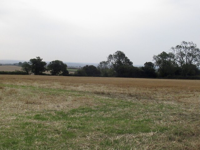
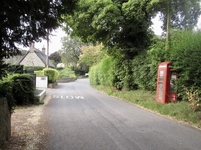
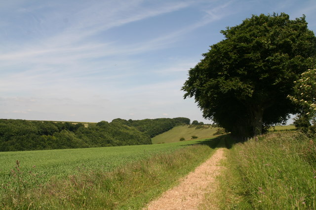
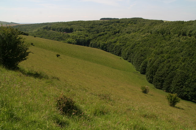
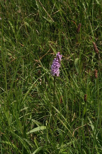
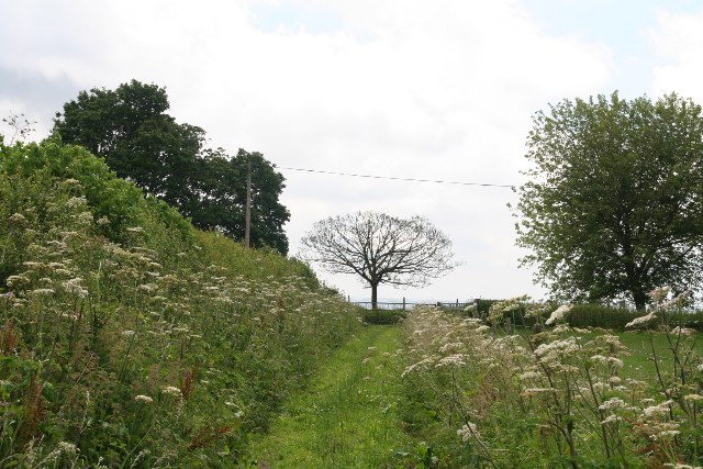
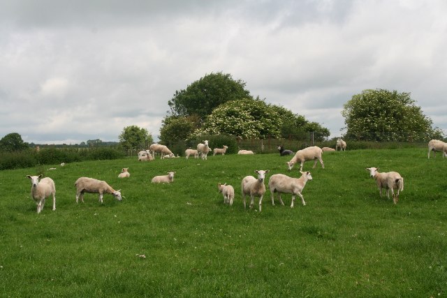
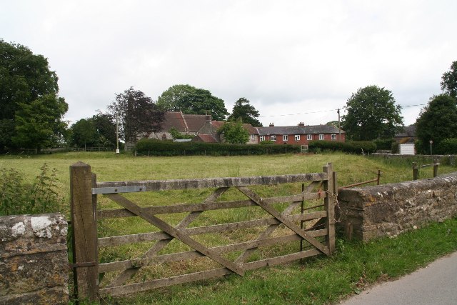
The village is adorned with charming cottages and traditional stone houses, reflecting its rich history and rural character. The surrounding landscape is characterized by rolling hills, expansive meadows, and ancient woodlands, providing ample opportunities for outdoor activities such as hiking, cycling, and birdwatching.
Woodley Down is well-connected to neighboring towns and cities. The nearby town of Marlborough, renowned for its historic market and bustling high street, is just a short drive away. The city of Salisbury, famous for its magnificent cathedral and picturesque streets, is also within easy reach.
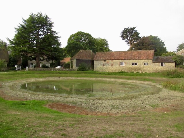
In terms of amenities, Woodley Down boasts a small but vibrant community. The village is home to a local pub, which serves as a gathering place for residents and visitors to enjoy a pint and sample traditional British cuisine. A village hall hosts various events and activities throughout the year, fostering a strong sense of community.
Overall, Woodley Down is a hidden gem in Wiltshire, offering a harmonious blend of natural beauty, rural charm, and community spirit. It is a place where one can truly appreciate the tranquility of the countryside and immerse themselves in the wonders of nature.
If you have any feedback on the listing, please let us know in the comments section below.
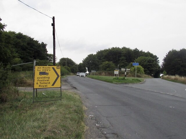
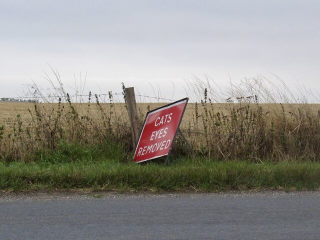
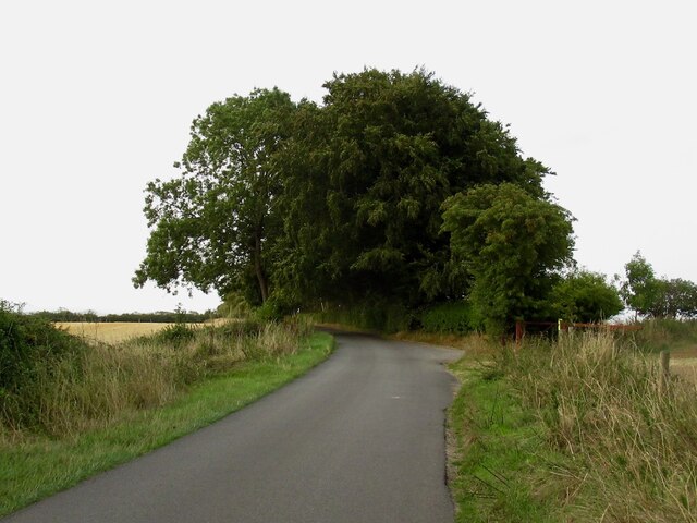
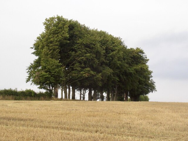
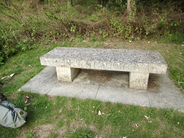
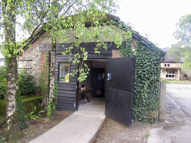
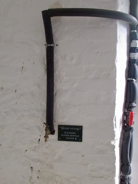
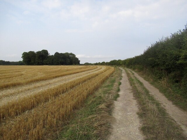
Woodley Down Images
Images are sourced within 2km of 50.964531/-2.1070758 or Grid Reference ST9218. Thanks to Geograph Open Source API. All images are credited.
Woodley Down is located at Grid Ref: ST9218 (Lat: 50.964531, Lng: -2.1070758)
Unitary Authority: Wiltshire
Police Authority: Wiltshire
What 3 Words
///small.organist.gong. Near Shaftesbury, Dorset
Nearby Locations
Related Wikis

Ashmore
Ashmore is a village and civil parish in the North Dorset district of Dorset, England, 20 miles (32 kilometres) southwest of Salisbury. The village is...

Tollard Royal
Tollard Royal is a village and civil parish on Cranborne Chase, Wiltshire, England. The parish is on Wiltshire's southern boundary with Dorset and the...

Ashcombe House, Wiltshire
Ashcombe House, also known as Ashcombe Park, is a Georgian manor house, set in 1,134 acres (4.59 km2) of land on Cranborne Chase in the parish of Berwick...

King John's House, Tollard Royal
King John's House is a former manor house in the south Wiltshire village of Tollard Royal, England. Just south of the church, the building has at its core...
Nearby Amenities
Located within 500m of 50.964531,-2.1070758Have you been to Woodley Down?
Leave your review of Woodley Down below (or comments, questions and feedback).