Battle Moor

Downs, Moorland in Northumberland

England

Battle Moor

Cottages at Grindon
Cottages at Grindon Credit: Chris Morgan

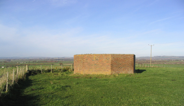
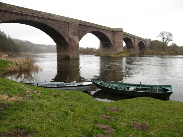
Battle Moor is a vast expanse of downs and moorland located in the county of Northumberland, England. Spanning over a thousand acres, it is nestled within the scenic and rugged landscape of the North Pennines Area of Outstanding Natural Beauty. The moor is characterized by its rolling hills, heather-covered slopes, and expansive open spaces, offering breathtaking views of the surrounding countryside.

The moorland is home to a diverse range of flora and fauna, with its unique ecosystem supporting a variety of plant species such as heather, bracken, and bilberry. These plants provide crucial habitats for a plethora of wildlife, including red grouse, curlews, lapwings, and various species of butterflies. Birdwatchers and nature enthusiasts flock to the area to observe and appreciate the vibrant birdlife and other wildlife that call Battle Moor home.

In addition to its natural beauty, Battle Moor holds historical significance. The name "Battle Moor" is said to originate from a legendary battle that took place on the moor during the medieval period. Although the details of the battle remain uncertain, it is believed to have been a clash between rival clans or factions.

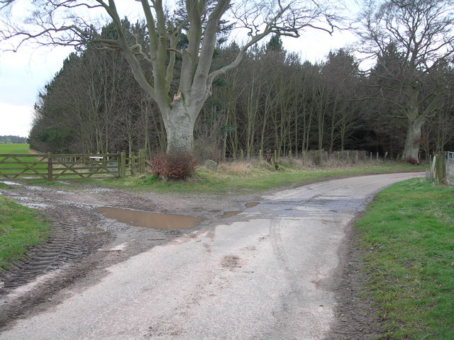
Visitors to Battle Moor can explore the area through a network of footpaths and trails, allowing them to immerse themselves in the stunning scenery and experience the tranquility of the moorland. The moor is a popular destination for hikers, nature walks, and picnickers seeking to escape the hustle and bustle of urban life.

Overall, Battle Moor offers a captivating blend of natural beauty, wildlife, and historical intrigue, making it a must-visit destination for nature lovers and history enthusiasts alike.

If you have any feedback on the listing, please let us know in the comments section below.

Battle Moor Images

Images are sourced within 2km of 55.703186/-2.1301953 or Grid Reference NT9145. Thanks to Geograph Open Source API. All images are credited.

Cottages at Grindon
Cottages at Grindon
Terraced cottages at Grindon
Swans Swans in field on B6470 near Norham, Northumberland.
Swans
Swans in field on B6470 near Norham, Northumberland.
Runner in wooded valley The stream in this steep sided and rough wooded valley joins the River Tweed in less than a kilometre, but it makes an ideal challenge for running events organised by the local athletic club at Norham.
Runner in wooded valley
The stream in this steep sided and rough wooded valley joins the River Tweed in less than a kilometre, but it makes an ideal challenge for running events organised by the local athletic club at Norham.
Farmland A field at East Newbiggin.
Farmland
A field at East Newbiggin.
Arable fields Grievestead Farm is on the far right.
Arable fields
Grievestead Farm is on the far right.
Rich farmland Viewed from a right of way path towards Grievestead Farm.
Rich farmland
Viewed from a right of way path towards Grievestead Farm.
The trig point at Shoreswood Ewe Hill This trig point at 91m has a flush bracket number S6461.
The trig point at Shoreswood Ewe Hill
This trig point at 91m has a flush bracket number S6461.
Radio Mast at Shoreswood Ewe Hill
The remains of a High Frequency Direction Finding Tower This base on Shoreswood Ewe Hill is a reminder of the wartime role of an HFDF (High Frequency Direction Finding) station. In the 1940's the octagonal brick enclosure protected a 3 storey wooden tower, from where high frequency radio signals were exchanged with aircraft to guide them to their bases. In those days there were several training aerodromes in the area. There were at least two more HFDF towers in the area to allow aircraft positions to be cross referenced. There is a platform within the enclosure with a viewpoint indicator. (Source: Information boards on site).
The remains of a High Frequency Direction Finding Tower
This base on Shoreswood Ewe Hill is a reminder of the wartime role of an HFDF (High Frequency Direction Finding) station. In the 1940's the octagonal brick enclosure protected a 3 storey wooden tower, from where high frequency radio signals were exchanged with aircraft to guide them to their bases. In those days there were several training aerodromes in the area. There were at least two more HFDF towers in the area to allow aircraft positions to be cross referenced. There is a platform within the enclosure with a viewpoint indicator. (Source: Information boards on site).
Information board on the HFDF tower base at Shoreswood Ewe Hill One of two boards on this site describing the role of a World War 2 High Frequency Direction Finding tower.
Information board on the HFDF tower base at Shoreswood Ewe Hill
One of two boards on this site describing the role of a World War 2 High Frequency Direction Finding tower.
Railway Boundary The line of trees in the middle-distance are growing within the trackbed of the now-closed Berwick to Kelso railway line.
Railway Boundary
The line of trees in the middle-distance are growing within the trackbed of the now-closed Berwick to Kelso railway line.
Southern Bridge Portal Whilst the road (B6470) is carried over this substantial red sandstone bridge, the now disused Berwick to Coldstream railway line ran below.
Southern Bridge Portal
Whilst the road (B6470) is carried over this substantial red sandstone bridge, the now disused Berwick to Coldstream railway line ran below.
Farmland Cutting The course of the old Kelso to Berwick railway line - obliterated by scrub within the cutting, can be seen on the right.
Farmland Cutting
The course of the old Kelso to Berwick railway line - obliterated by scrub within the cutting, can be seen on the right.
Westmoor Plantation
Westmoor Plantation
Farm buildings at Grindon Farm
Farmland at Battle Moor
Grievestead Farm Farm road and cottages at Grievestead Farm
Grievestead Farm
Farm road and cottages at Grievestead Farm
Show me another place!

Battle Moor is located at Grid Ref: NT9145 (Lat: 55.703186, Lng: -2.1301953)

Unitary Authority: Northumberland

Police Authority: Northumbria

What 3 Words

///power.tripling.flasks. Near Ancroft, Northumberland

Nearby Locations

Battle Moor

Related Wikis

Norham railway station

Norham railway station served the village of Norham, Northumberland, England, from 1849 to 1965 on the Kelso Branch. == History == The station opened on...

Shoreswood

Shoreswood is a place and civil parish about 6 miles from Berwick-upon-Tweed, in the county of Northumberland, England. The parish includes the hamlets...

Duddo Five Stones

Duddo Five Stones (grid reference NT930437) is a stone circle north of Duddo in North Northumberland, approximately 4miles (6 km) South of the Scottish...

Norham

Norham ( NORR-əm) is a village and civil parish in Northumberland, England. It is 7 miles (11 km) south-west of Berwick on the south side of the River...
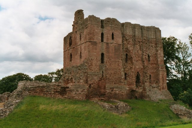
Norham Castle

Norham Castle (sometimes Nornam) is a castle in Northumberland, England, overlooking the River Tweed, on the border between England and Scotland. It is...

Upsettlington Castle

Upsettington Castle was a castle that was located near Upsettington (now Ladykirk), Scottish Borders, Scotland. The castle was the caput baronium of the...

Ladykirk and Norham Bridge

The Ladykirk and Norham Bridge connects Ladykirk in the Borders, Scotland, with Norham in Northumberland, England, across the River Tweed. It's one of...

Duddo

Duddo is a village and civil parish in Northumberland, about 8 miles (13 km) southwest of Berwick-upon-Tweed. == History == Duddo Five Stones is a stone...

Nearby Amenities

Located within 500m of 55.703186,-2.1301953
Battle Moor
Alt Name: Battle of Grindon
Date: 1558
Historic: battlefield
Place: locality
Lat/Long: 55.7024655/-2.1306286
Power: pole
Source: Bing
Lat/Long: 55.7038906/-2.1366866
Power: pole
Source: Bing
Lat/Long: 55.7040199/-2.1354944
Power: pole
Source: Bing
Lat/Long: 55.7041234/-2.1337979
Power: pole
Source: Bing
Lat/Long: 55.7042299/-2.1320839
Power: pole
Source: Bing
Lat/Long: 55.7043433/-2.1303861
Power: pole
Source: Bing
Lat/Long: 55.7044623/-2.1286782
Power: pole
Source: Bing
Lat/Long: 55.7045655/-2.1269394
Power: pole
Source: Bing
Lat/Long: 55.7053566/-2.1245711
The data included in this document is from www.openstreetmap.org. The data is made available under ODbL.

Have you been to Battle Moor?

Leave your review of Battle Moor below (or comments, questions and feedback).