Aston Down

Downs, Moorland in Gloucestershire Stroud

England

Aston Down

Country road passing Lowesmoor Farm A fairly typical high Cotswold grid square with little in it other than farmland and a few isolated buildings.
Country road passing Lowesmoor Farm Credit: Philip Halling

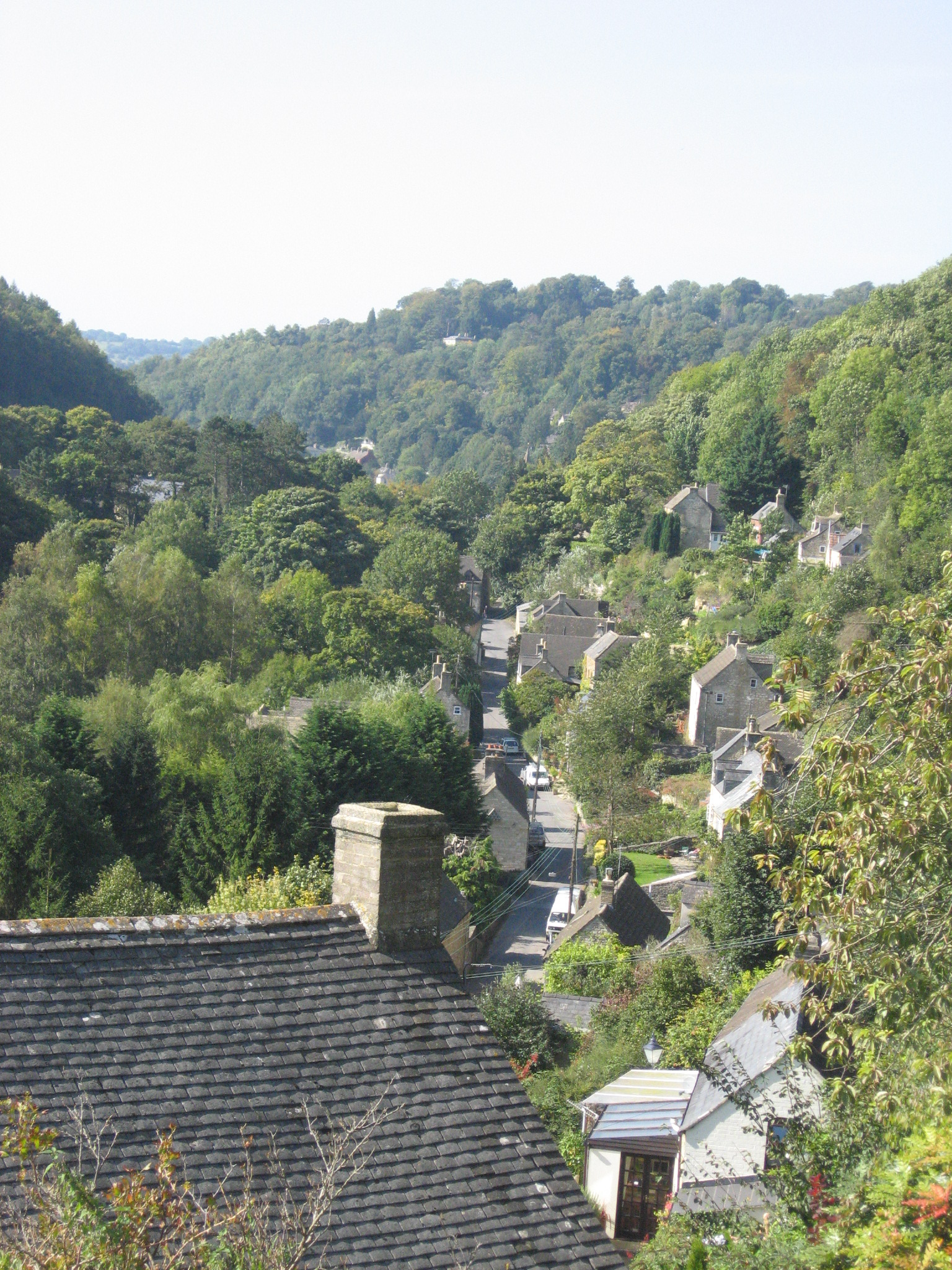
Aston Down is a picturesque area located in the county of Gloucestershire, England. It is situated near the town of Minchinhampton, approximately 10 miles south of the city of Gloucester. Aston Down is known for its stunning natural beauty and diverse landscape, which consists of downs and moorland.

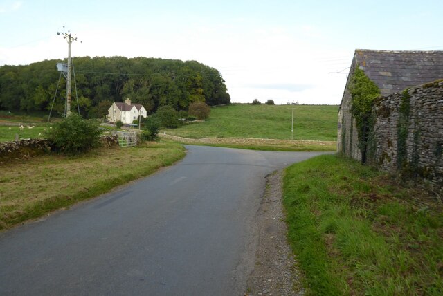
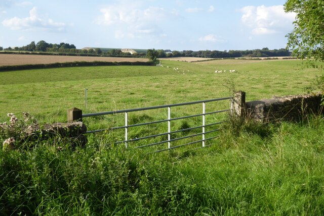
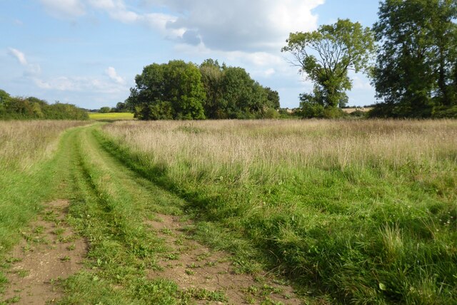
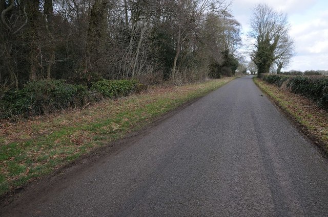
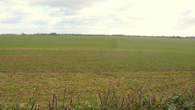
The area is characterized by rolling hills and expansive open spaces, providing breathtaking views of the surrounding countryside. The downs in Aston Down are covered in lush green grass, interspersed with patches of wildflowers. These open spaces are ideal for outdoor activities such as walking, hiking, and picnicking.

In addition to the downs, Aston Down is also home to vast stretches of moorland. The moorland is characterized by its heather-covered terrain, creating a unique and vibrant landscape. This area is a haven for wildlife enthusiasts, as it is home to a variety of bird species, including the elusive and endangered nightjar.

Aston Down has a rich history, with evidence of human settlement dating back thousands of years. The area has been inhabited since prehistoric times, and there are numerous archaeological sites and ancient burial mounds scattered throughout the downs and moorland.

Overall, Aston Down is a haven for nature lovers and those seeking tranquility in the heart of the Gloucestershire countryside. With its stunning landscape, diverse wildlife, and historical significance, it is a must-visit destination for anyone looking to explore the beauty of rural England.

If you have any feedback on the listing, please let us know in the comments section below.
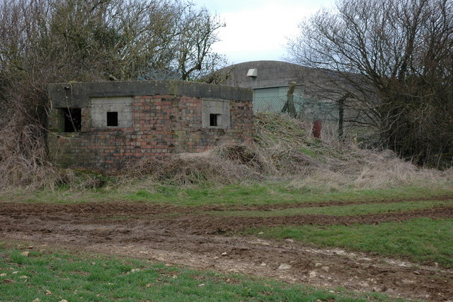
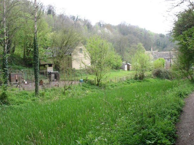
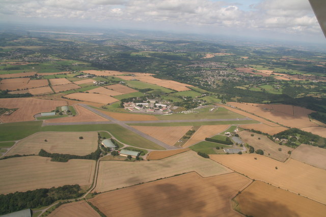
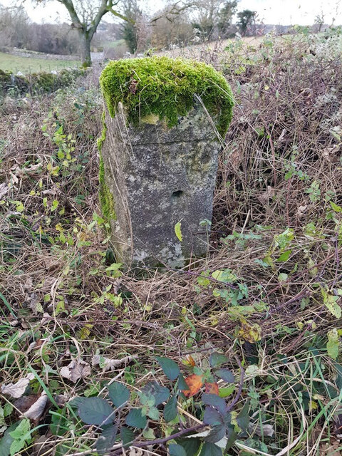
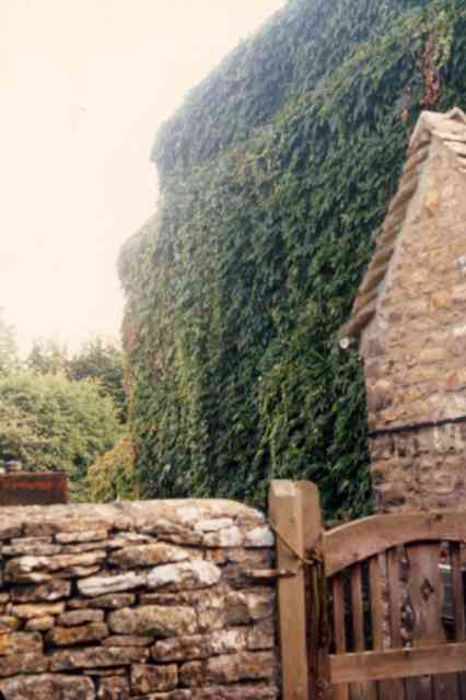
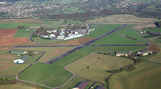
Aston Down Images

Images are sourced within 2km of 51.704906/-2.1283983 or Grid Reference SO9100. Thanks to Geograph Open Source API. All images are credited.

Country road passing Lowesmoor Farm A fairly typical high Cotswold grid square with little in it other than farmland and a few isolated buildings.
Country road passing Lowesmoor Farm
A fairly typical high Cotswold grid square with little in it other than farmland and a few isolated buildings.
Farmland south of Aston Down Beyond the fields large former hangars can be seen from the former RAF Aston Down.
Farmland south of Aston Down
Beyond the fields large former hangars can be seen from the former RAF Aston Down.
Farmland track Farmland track giving access to farmland north of the village of Cherington.
Farmland track
Farmland track giving access to farmland north of the village of Cherington.
Barns near Aston Farm, Cherington
Pill Box at Aston Down A pill box defending the former WWII airfield of RAF Aston Down. In the background is one of a number of large hangars then remain on the airfield.
Pill Box at Aston Down
A pill box defending the former WWII airfield of RAF Aston Down. In the background is one of a number of large hangars then remain on the airfield.
Gated road near Lowesmoor Farm The road to the east of Lowesmoor Farm crosses an open field and a gate and cattle grid stop livestock from wandering.
Gated road near Lowesmoor Farm
The road to the east of Lowesmoor Farm crosses an open field and a gate and cattle grid stop livestock from wandering.
Aston Down airfield A hangar on Aston Down airfield. The crop in the foreground is linseed.
Aston Down airfield
A hangar on Aston Down airfield. The crop in the foreground is linseed.
Across the (disused) Thames & Severn Canal Seen walking west, towards Stroud and the Severn.
Across the (disused) Thames & Severn Canal
Seen walking west, towards Stroud and the Severn.
Emmerson Lane Looking south-west towards Black Covert and the hangars of the Aston Down airfield and gliding club.
Emmerson Lane
Looking south-west towards Black Covert and the hangars of the Aston Down airfield and gliding club.
Emmerson Lane passing Emmerson Plantation Emmerson Lane a minor country road beside Emmerson Plantation, just passing through the north-west corner of this OS grid square which apart from this road is farmland <a href="https://www.geograph.org.uk/photo/2845996">SO9300 : Ploughed field near Emmerson Plantation</a> without any other right of way.
Emmerson Lane passing Emmerson Plantation
Emmerson Lane a minor country road beside Emmerson Plantation, just passing through the north-west corner of this OS grid square which apart from this road is farmland SO9300 : Ploughed field near Emmerson Plantation without any other right of way.
The Cotswolds plateau Flat farmland at 170m elevation. The thin calcareous soil produces arable crops here.
The Cotswolds plateau
Flat farmland at 170m elevation. The thin calcareous soil produces arable crops here.
Gliders on Aston Down airfield The field between the boundary fence and runways is planted with oilseed rape.
Gliders on Aston Down airfield
The field between the boundary fence and runways is planted with oilseed rape.
Aston Down Airfield: aerial 2019 Now home to the Cotswold Gliding Club.
Aston Down Airfield: aerial 2019
Now home to the Cotswold Gliding Club.
Milestone, A419 (old road) By the entrance to Westley Farm, on the verge of the original route of the road. The area is the Junction of the Cirencester Road and the Stroud Road. This particular section of the Cirencester Road was created  during WW2 when Aston Down aerodrome was built, cutting through a road that joined the A419 a mile along.

No record of the inscription. It is 7 miles from Ciren (& Stroud)

Milestone Society National ID: GL_CISD07
Milestone, A419 (old road)
By the entrance to Westley Farm, on the verge of the original route of the road. The area is the Junction of the Cirencester Road and the Stroud Road. This particular section of the Cirencester Road was created during WW2 when Aston Down aerodrome was built, cutting through a road that joined the A419 a mile along. No record of the inscription. It is 7 miles from Ciren (& Stroud) Milestone Society National ID: GL_CISD07
Charley Barnett's house This house at the bottom of Gypsy Lane, Chalford was
completely obscured by Virginia Creeper.
Charley Barnett's house
This house at the bottom of Gypsy Lane, Chalford was completely obscured by Virginia Creeper.
Bottom of the gardens, Chalford Bottom The gardens on the right back on to the River Frome, and each house has its own bridge giving access to the footpath. The path was originally the towpath of the Thames and Severn Canal, now dry, which runs alongside it to the left. In the distance is an elevated section of the Gloucester-Swindon railway.
Bottom of the gardens, Chalford Bottom
The gardens on the right back on to the River Frome, and each house has its own bridge giving access to the footpath. The path was originally the towpath of the Thames and Severn Canal, now dry, which runs alongside it to the left. In the distance is an elevated section of the Gloucester-Swindon railway.
Aston Down Polo Grounds The Cirencester Park Polo Club, founded 1894. With Chalford visible across the valley.
Aston Down Polo Grounds
The Cirencester Park Polo Club, founded 1894. With Chalford visible across the valley.
The White Horse An inn and restaurant, with an adjacent filling station on the A419.
The White Horse
An inn and restaurant, with an adjacent filling station on the A419.
Show me another place!

Aston Down is located at Grid Ref: SO9100 (Lat: 51.704906, Lng: -2.1283983)

Administrative County: Gloucestershire

District: Stroud

Police Authority: Gloucestershire

What 3 Words

///manager.overhear.withdraw. Near Chalford, Gloucestershire

Nearby Locations

Aston Down

Related Wikis

Have you been to Aston Down?

Leave your review of Aston Down below (or comments, questions and feedback).