Broadley's Gate Plantation
Downs, Moorland in Durham
England
Broadley's Gate Plantation

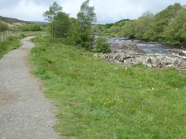
Broadley's Gate Plantation is a picturesque estate located in Durham, England. Situated on the Downs and Moorland, this expansive property covers a vast area of land, offering stunning views of the surrounding countryside.
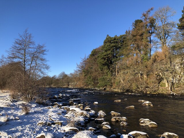
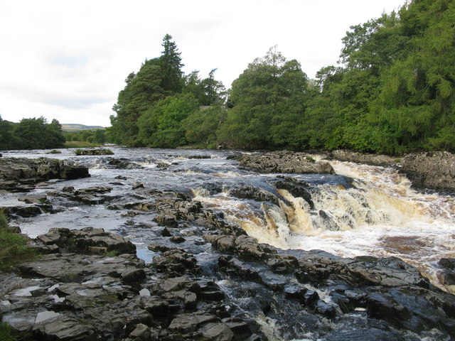
The plantation is known for its lush greenery and diverse flora, making it a haven for nature enthusiasts and botany lovers alike. The landscape is dominated by rolling hills, dense forests, and open meadows, creating a tranquil and idyllic atmosphere. Visitors can explore the well-maintained walking trails that wind through the estate, providing ample opportunities for leisurely strolls and hikes.
One of the main highlights of Broadley's Gate Plantation is its rich biodiversity. The area is home to a wide range of plant species, including native wildflowers, shrubs, and trees. The plantation takes pride in its conservation efforts, ensuring the preservation of the local ecosystem and promoting sustainable practices.
In addition to its natural beauty, the estate also boasts a charming country house, which serves as a retreat for guests seeking a peaceful getaway. The house offers comfortable accommodation and modern amenities, allowing visitors to fully immerse themselves in the tranquility of the surroundings.
Broadley's Gate Plantation is a popular destination for those seeking a break from the hustle and bustle of city life. Whether you're interested in exploring nature, enjoying outdoor activities, or simply relaxing in a serene environment, this enchanting estate provides an ideal setting.
If you have any feedback on the listing, please let us know in the comments section below.
Broadley's Gate Plantation Images
Images are sourced within 2km of 54.662293/-2.1486658 or Grid Reference NY9029. Thanks to Geograph Open Source API. All images are credited.


Broadley's Gate Plantation is located at Grid Ref: NY9029 (Lat: 54.662293, Lng: -2.1486658)
Unitary Authority: County Durham
Police Authority: Durham
What 3 Words
///consented.revolts.bouncing. Near Newbiggin, Co. Durham
Nearby Locations
Related Wikis

Bowlees and Friar House Meadows
Bowlees and Friar House Meadows is a Site of Special Scientific Interest in the Teesdale district of west County Durham, England. It consists of three...

Bowlees
Bowlees is a small village in County Durham, England. It is situated near Newbiggin, on the other side of Teesdale from Holwick. The visitor centre in...

Low Force
Low Force is an 18-foot (5.5m) high set of falls on the River Tees, England, UK. Further upstream is the High Force waterfall. Low Force is also the site...
Ettersgill
Ettersgill is a village in County Durham, England. It is situated at the top of Teesdale, on the north side of the Tees between Newbiggin and Forest-in...

Newbiggin, Teesdale
Newbiggin is a village and civil parish in County Durham, England. At the 2011 census the parish had a population of 146. It is situated on the north side...
Teesdale Allotments
Teesdale Allotments is a Site of Special Scientific Interest in the Teesdale district of County Durham, England. It consists of two large upland areas...
Holwick
Holwick is a small village in Teesdale, County Durham (district), England. Located in the Pennine hills, it consists of a few houses spread along a road...

High Force
High Force is a waterfall on the River Tees, near Middleton-in-Teesdale, Teesdale, England. The waterfall is within the North Pennines Area of Outstanding...
Nearby Amenities
Located within 500m of 54.662293,-2.1486658Have you been to Broadley's Gate Plantation?
Leave your review of Broadley's Gate Plantation below (or comments, questions and feedback).