Back Pasture

Downs, Moorland in Yorkshire Craven

England

Back Pasture

Bridge taking rural road over Thoragill Beck Cows grazing in the background
Bridge taking rural road over Thoragill Beck Credit: Luke Shaw

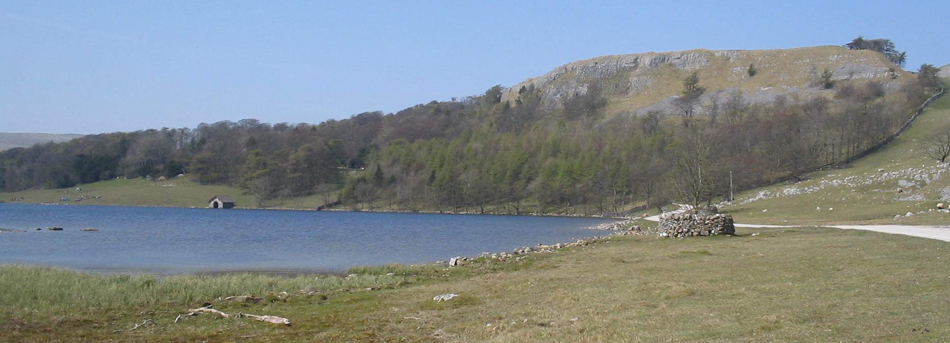
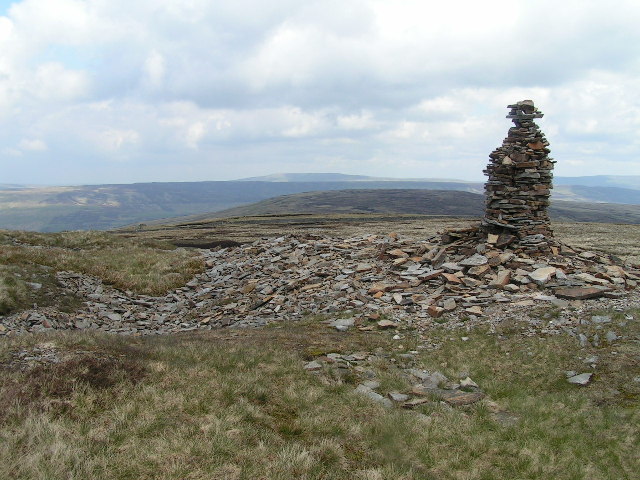
Back Pasture, Yorkshire, is a picturesque region located in the northern part of England. It encompasses a vast area of downs and moorland, offering visitors a stunning natural landscape to explore. The region is known for its rolling hills, expansive meadows, and heather-covered moors, creating a postcard-worthy scenery at every turn.

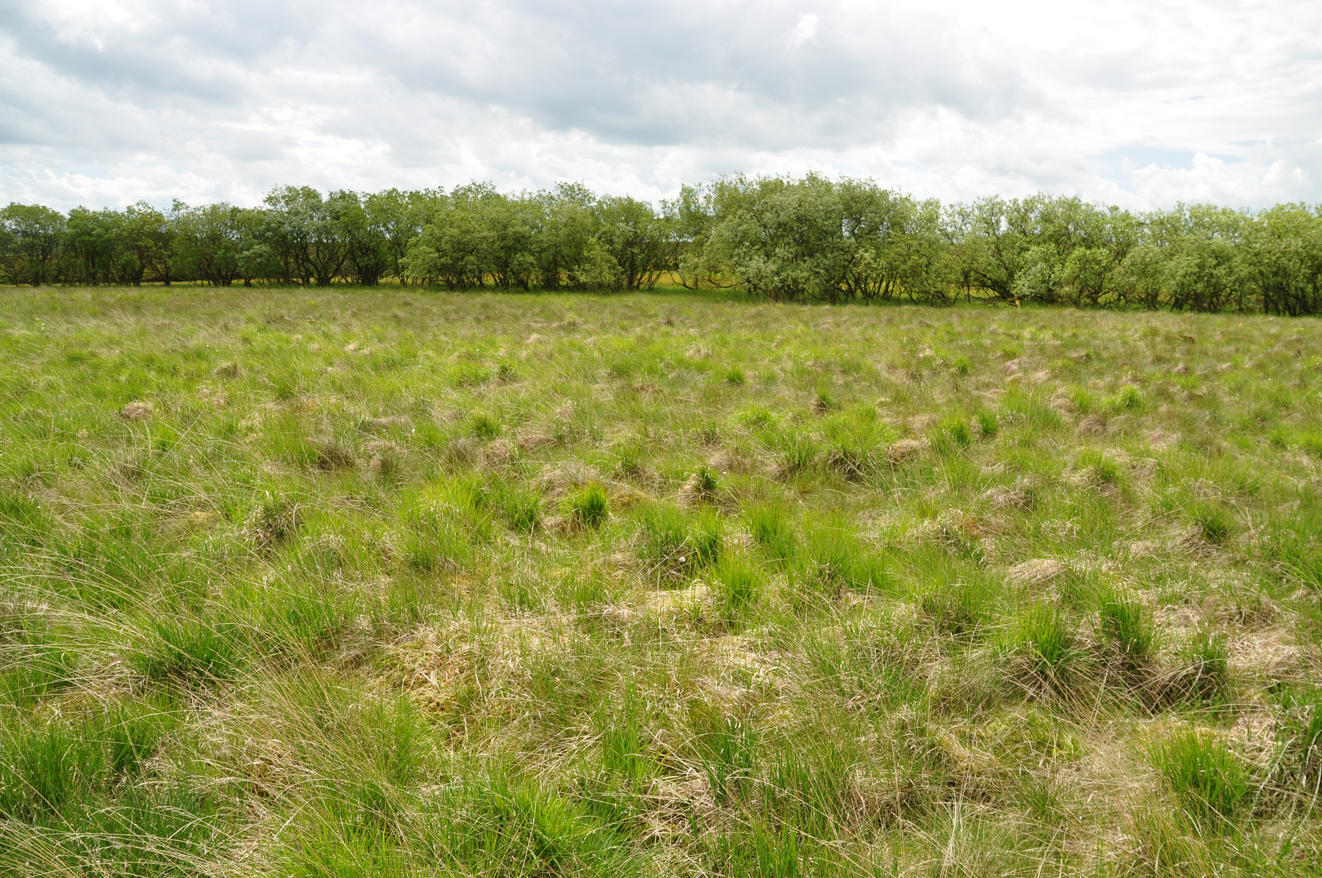
One of the highlights of Back Pasture is its diverse wildlife. The region is home to a variety of bird species, including skylarks, curlews, and lapwings, making it a popular destination for birdwatchers. The moorland also provides a habitat for unique flora, such as bilberry bushes and cotton grass.

For outdoor enthusiasts, Back Pasture offers an array of activities. Hiking and walking trails crisscross the area, providing opportunities to immerse oneself in the natural beauty and breathe in the fresh country air. Cyclists can also enjoy the scenic routes, taking in the panoramic views as they pedal through the undulating landscape.

History buffs will find interest in Back Pasture's rich cultural heritage. The region is dotted with ancient stone circles, burial mounds, and remnants of old settlements, providing glimpses into its past. Visitors can delve into the history of the area by exploring these archaeological sites or visiting nearby museums and heritage centers.

Overall, Back Pasture, Yorkshire, is a captivating destination that offers a blend of natural beauty, outdoor activities, and cultural exploration. Whether one seeks solitude amidst the stunning moorland or a chance to connect with nature, this region provides an enchanting experience for all who visit.

If you have any feedback on the listing, please let us know in the comments section below.
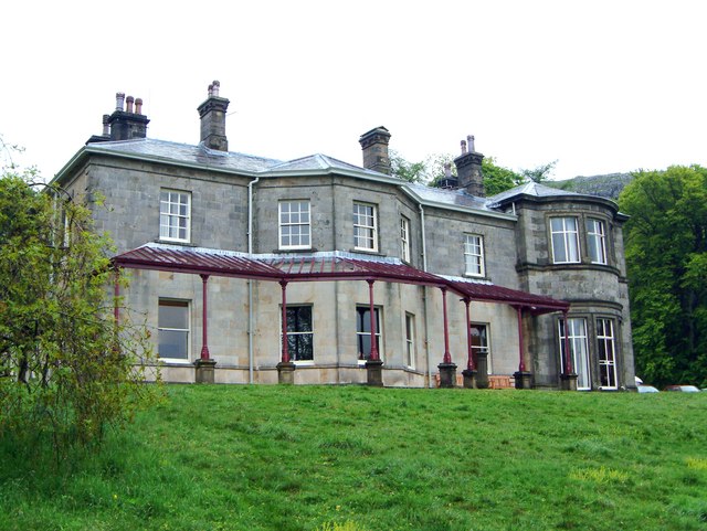
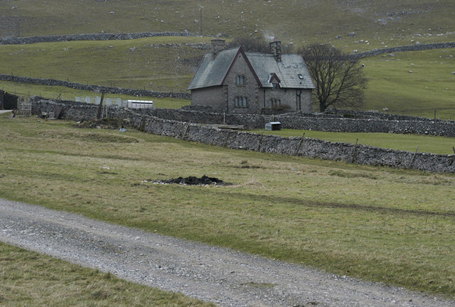
Back Pasture Images

Images are sourced within 2km of 54.113632/-2.1557329 or Grid Reference SD8968. Thanks to Geograph Open Source API. All images are credited.

Bridge taking rural road over Thoragill Beck Cows grazing in the background
Bridge taking rural road over Thoragill Beck
Cows grazing in the background
Benchmark on back of SE parapet of bridge over Thoragill Beck Ordnance Survey cut mark benchmark levelled at 347.631m above Newlyn Datum verified 1954
Benchmark on back of SE parapet of bridge over Thoragill Beck
Ordnance Survey cut mark benchmark levelled at 347.631m above Newlyn Datum verified 1954
Bridge taking moorland road over Thoragill Beck There is an Ordnance Survey benchmark <a href="https://www.geograph.org.uk/photo/6922865">SD8970 : Benchmark on back of SE parapet of bridge over Thoragill Beck</a> on a stone in the parapet between the two clumps of nettles on the nearside of the beck
Bridge taking moorland road over Thoragill Beck
There is an Ordnance Survey benchmark SD8970 : Benchmark on back of SE parapet of bridge over Thoragill Beck on a stone in the parapet between the two clumps of nettles on the nearside of the beck
Benchmark on stone at base of dry stone wall SW of Darnbrook House Ordnance Survey rivet benchmark levelled at 352.224m above Newlyn Datum verified 1954. The rivet is missing.
Benchmark on stone at base of dry stone wall SW of Darnbrook House
Ordnance Survey rivet benchmark levelled at 352.224m above Newlyn Datum verified 1954. The rivet is missing.
Partly ruined dry stone wall separating fields SW of Darnbrook House There is an Ordnance Survey benchmark <a href="https://www.geograph.org.uk/photo/6922966">SD8970 : Benchmark on stone at base of dry stone wall SW of Darnbrook House</a> on a stone at the base of the wall between the two left hand fence posts. There is a farmland track on the far side of the wall
Partly ruined dry stone wall separating fields SW of Darnbrook House
There is an Ordnance Survey benchmark SD8970 : Benchmark on stone at base of dry stone wall SW of Darnbrook House on a stone at the base of the wall between the two left hand fence posts. There is a farmland track on the far side of the wall
Benchmark on boulder on NW side of road SW of Darnbrook House Ordnance Survey rivet benchmark levelled at 337.145m above Newlyn Datum verified in 1954
Benchmark on boulder on NW side of road SW of Darnbrook House
Ordnance Survey rivet benchmark levelled at 337.145m above Newlyn Datum verified in 1954
Moorland road heading towards Darnbrook House There is an Ordnance Survey benchmark <a href="https://www.geograph.org.uk/photo/6923049">SD8970 : Benchmark on boulder on NW side of road SW of Darnbrook House</a> on a boulder in the road verge where the grass has been peeled back
Moorland road heading towards Darnbrook House
There is an Ordnance Survey benchmark SD8970 : Benchmark on boulder on NW side of road SW of Darnbrook House on a boulder in the road verge where the grass has been peeled back
Darnbrook Beck Barn above Darnbrook Beck.
Darnbrook Beck
Barn above Darnbrook Beck.
Darnbrook Farm Herding sheep on Darnbrook Farm.
Darnbrook Farm
Herding sheep on Darnbrook Farm.
Darnbrook Farm Pasture on Darnbrook Farm.
Darnbrook Farm
Pasture on Darnbrook Farm.
Thoragill Beck House
Benchmark on rock off SW side of moorland road south of Darnbrook House Ordnance Survey rivet benchmark levelled at 343.656m above Newlyn Datum verified 1954
Benchmark on rock off SW side of moorland road south of Darnbrook House
Ordnance Survey rivet benchmark levelled at 343.656m above Newlyn Datum verified 1954
Moorland road heading south at Darnbrook Farm There is an Ordnance Survey benchmark <a href="https://www.geograph.org.uk/photo/6923425">SD9070 : Benchmark on rock off SW side of moorland road south of Darnbrook House</a> on the rock in the middle of the image
Moorland road heading south at Darnbrook Farm
There is an Ordnance Survey benchmark SD9070 : Benchmark on rock off SW side of moorland road south of Darnbrook House on the rock in the middle of the image
Benchmark on moorland rock 7m off north side of road west of Nab End Ordnance Survey cut mark benchmark levelled at 386.045m above Newlyn Datum verified 1954
Benchmark on moorland rock 7m off north side of road west of Nab End
Ordnance Survey cut mark benchmark levelled at 386.045m above Newlyn Datum verified 1954
Rock strewn moorland east of Darnbrook Farm There is an Ordnance Survey benchmark <a href="https://www.geograph.org.uk/photo/6923981">SD9070 : Benchmark on moorland rock 7m off north side of road west of Nab End</a> on the large rock in the middle of the image
Rock strewn moorland east of Darnbrook Farm
There is an Ordnance Survey benchmark SD9070 : Benchmark on moorland rock 7m off north side of road west of Nab End on the large rock in the middle of the image
Nab End Excavator and trailer at Nab End.
Nab End
Excavator and trailer at Nab End.
Benchmark on Stanggill Barn Ordnance Survey cut mark benchmark described on the Bench Mark Database at <span class="nowrap"><a title="www.bench-marks.org.uk/bm112815" rel="nofollow ugc noopener" href="http://www.bench-marks.org.uk/bm112815">Link</a><img style="margin-left:2px;" alt="External link" title="External link - shift click to open in new window" src="https://s1.geograph.org.uk/img/external.png" width="10" height="10"/></span>
Benchmark on Stanggill Barn
Ordnance Survey cut mark benchmark described on the Bench Mark Database at LinkExternal link
Stanggill Barn There is an Ordnance Survey benchmark <a href="https://www.geograph.org.uk/photo/6921083">SD8868 : Benchmark on Stanggill Barn</a> on the near corner of the barn on the road face
Stanggill Barn
There is an Ordnance Survey benchmark SD8868 : Benchmark on Stanggill Barn on the near corner of the barn on the road face
Show me another place!

Back Pasture is located at Grid Ref: SD8968 (Lat: 54.113632, Lng: -2.1557329)

Division: West Riding

Administrative County: North Yorkshire

District: Craven

Police Authority: North Yorkshire

What 3 Words

///guidebook.camped.thrusters. Near Settle, North Yorkshire

Nearby Locations

Back Pasture

Related Wikis

Nearby Amenities

Located within 500m of 54.113632,-2.1557329
Historic: lime_kiln
Mineral: lime
Source: OS 1851
Lat/Long: 54.1132627/-2.1486804
The data included in this document is from www.openstreetmap.org. The data is made available under ODbL.

Have you been to Back Pasture?

Leave your review of Back Pasture below (or comments, questions and feedback).