Billinside Moor
Downs, Moorland in Yorkshire Richmondshire
England
Billinside Moor

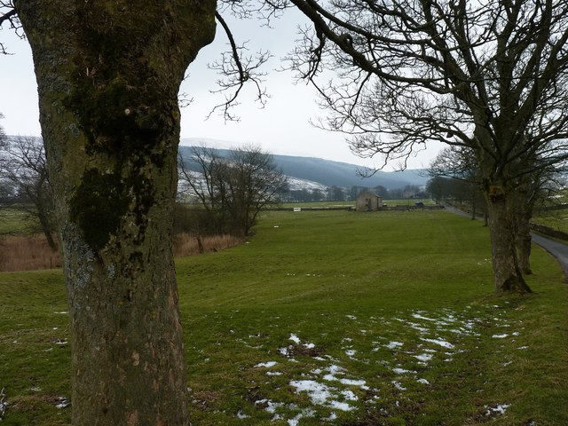
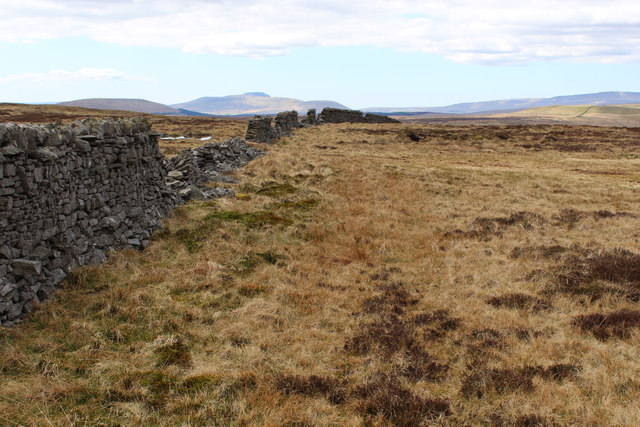
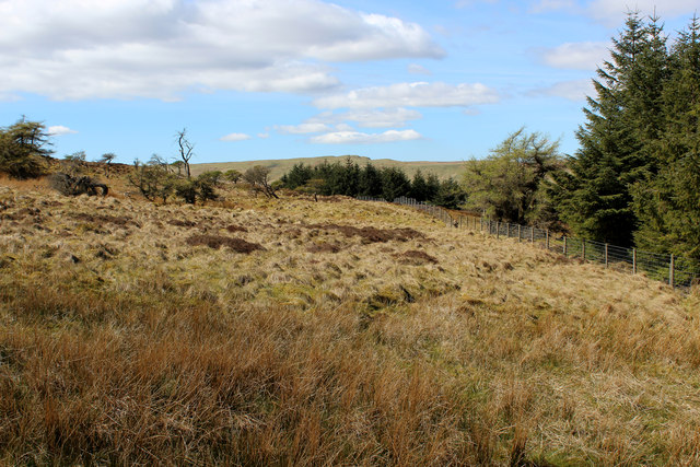
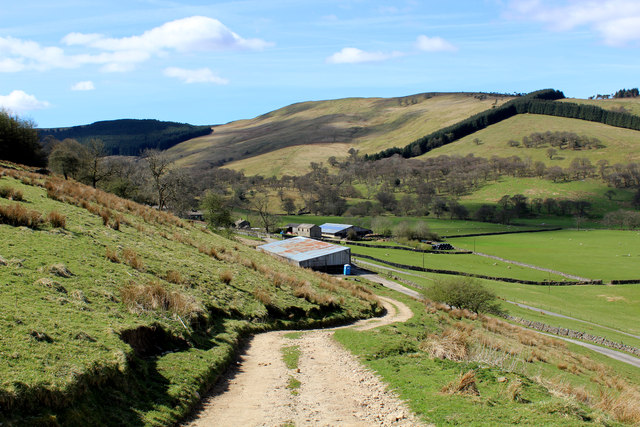
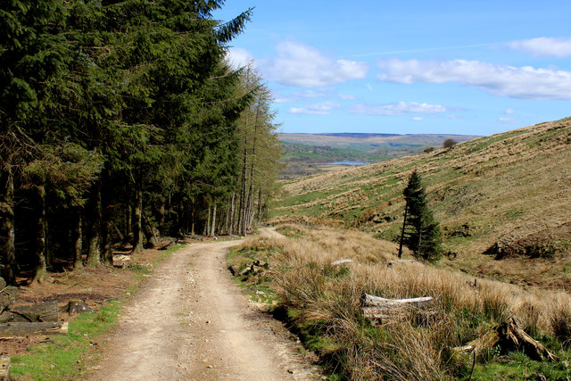
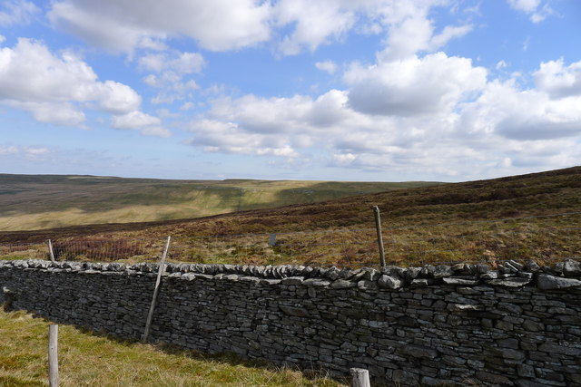
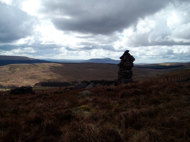
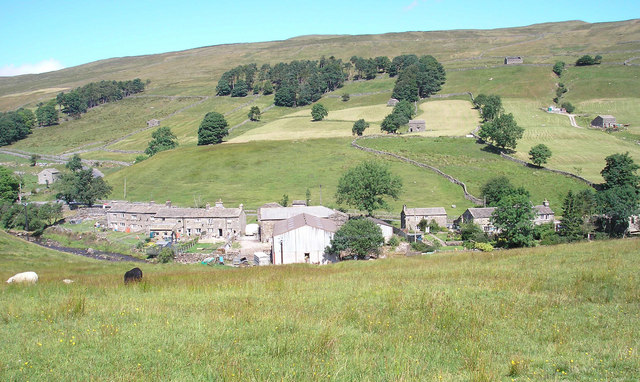
Billinside Moor is a sprawling expanse of moorland located in the county of Yorkshire, England. Situated on the eastern edge of the Yorkshire Downs, it covers an area of approximately 5,000 acres and is known for its rugged beauty and breathtaking landscapes.
The moorland is characterized by its rolling hills, heather-covered slopes, and vast open spaces. It is home to a diverse range of flora and fauna, including various species of birds, mammals, and insects. Visitors to Billinside Moor can expect to encounter the likes of Curlews, Lapwings, and Red Grouse, as well as other wildlife such as hares and foxes.
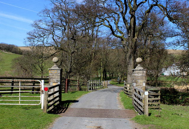
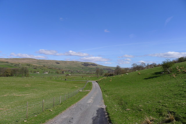
The moorland offers numerous walking trails and paths, making it a popular destination for hikers and nature enthusiasts. The expansive views from the higher points of the moor are particularly stunning, with sweeping panoramas of the surrounding countryside.
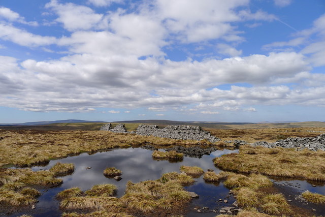
In addition to its natural beauty, Billinside Moor also has historical significance. The area has been inhabited for thousands of years, and evidence of Bronze Age settlements can still be found in the form of ancient burial mounds and stone circles. These remnants of the past add an intriguing element to the moorland's charm.
Overall, Billinside Moor is a captivating destination that combines natural splendor with a rich historical heritage. Whether visitors are seeking outdoor adventure, wildlife encounters, or a glimpse into the past, this Yorkshire moorland offers a truly unforgettable experience.
If you have any feedback on the listing, please let us know in the comments section below.
Billinside Moor Images
Images are sourced within 2km of 54.246775/-2.1597951 or Grid Reference SD8983. Thanks to Geograph Open Source API. All images are credited.


Billinside Moor is located at Grid Ref: SD8983 (Lat: 54.246775, Lng: -2.1597951)
Division: North Riding
Administrative County: North Yorkshire
District: Richmondshire
Police Authority: North Yorkshire
What 3 Words
///towers.agency.repay. Near Settle, North Yorkshire
Nearby Locations
Related Wikis
Fleet Moss
Fleet Moss is a upland area separating Wharfedale from Wensleydale in North Yorkshire, England. The area is 1,850 ft (560 m) above sea level (although...

Marsett
Marsett is one of three settlements in around Semer Water in Raydale, a small side dale off Wensleydale in North Yorkshire, England. Marsett is only a...

St Matthew's Church, Stalling Busk
St Matthew's Church, Stalling Busk is a Grade II listed parish church in the Church of England in Stalling Busk, North Yorkshire. == History == The church...

Stalling Busk
Stalling Busk is one of three settlements around Semer Water in the Richmondshire district of North Yorkshire in the small dale of Raydale just off...
Oughtershaw
Oughtershaw is a hamlet in the Yorkshire Dales, North Yorkshire, England. It lies on a road it shares with other small villages; Deepdale, Yockenthwaite...

Yorkshire Dales National Park
The Yorkshire Dales National Park is a 2,178 km2 (841 sq mi) national park in England covering most of the Yorkshire Dales, with the notable exception...

Deepdale, North Yorkshire
Deepdale is a hamlet in Langstrothdale in the Yorkshire Dales in the north of England. The hamlet is 6.5 miles (10.5 km) northwest of Kettlewell and 15...

Wether Fell
Wether Fell (archaically Wetherfell), also known as Drumaldrace (the name of its summit), is a mountain in the Yorkshire Dales National Park, in North...
Have you been to Billinside Moor?
Leave your review of Billinside Moor below (or comments, questions and feedback).