Birk Haw Moss

Downs, Moorland in Yorkshire Richmondshire

England

Birk Haw Moss

Marsett Lane This is just outside the hamlet of Marsett on the way to Countersett. The hill in the distance is Addlebrough.
Marsett Lane Credit: Marathon

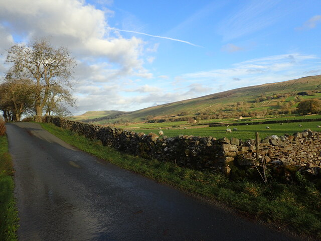
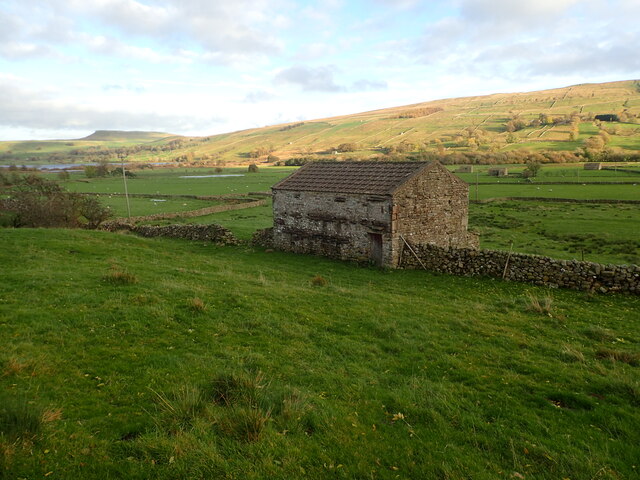
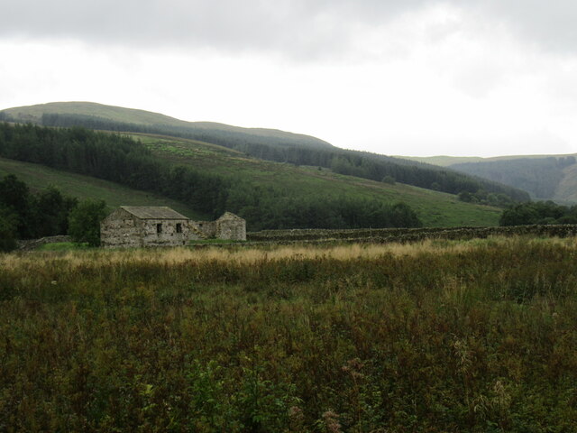
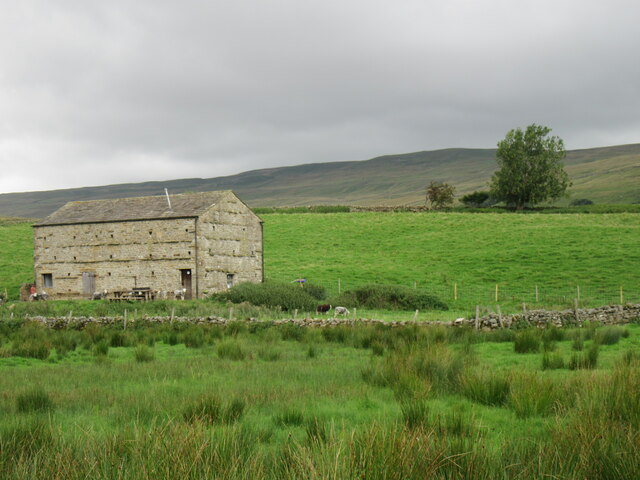
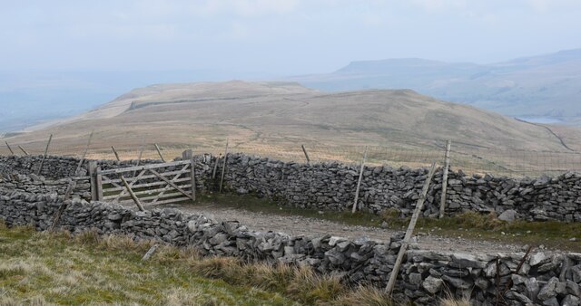
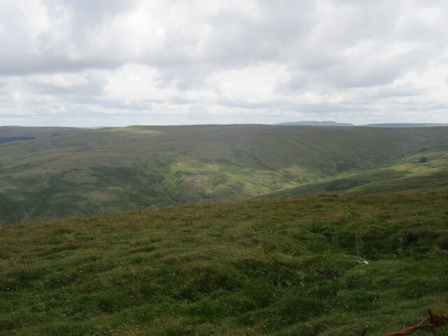
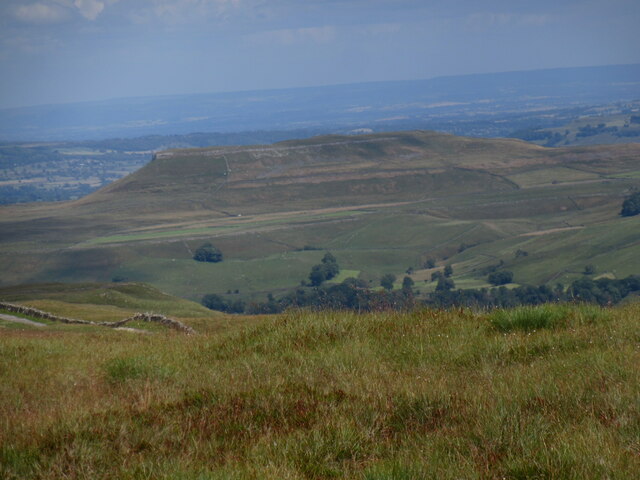
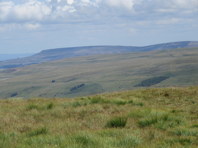
Birk Haw Moss is a prominent moorland located in Yorkshire, England. Situated in the Yorkshire Dales National Park, it forms part of the vast expanse of heather-clad moorland that characterizes the region. The moss is nestled within a landscape of rolling hills, known as the Yorkshire Downs, offering breathtaking views and a serene environment.

Covering an area of approximately 500 acres, Birk Haw Moss is a haven for wildlife and a significant habitat for rare and endangered species. The moss is home to a variety of bird species, including curlews, lapwings, and golden plovers, which thrive in the open moorland. It also supports a diverse range of plants, with the vibrant purple hues of heather dominating the landscape during the summer months.

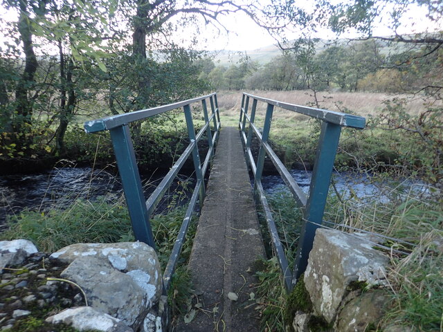
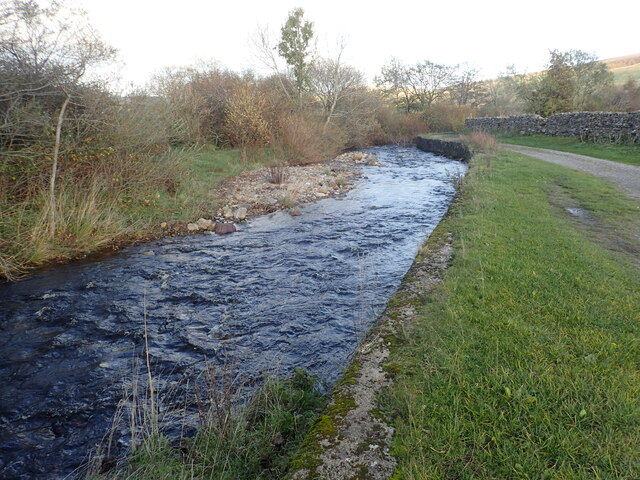
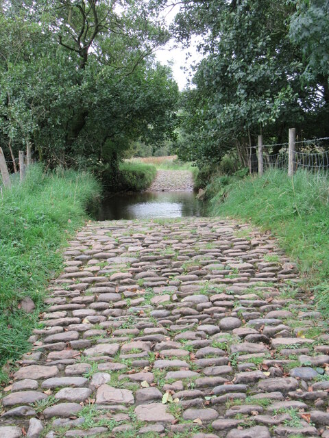
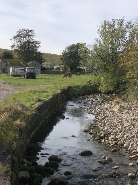
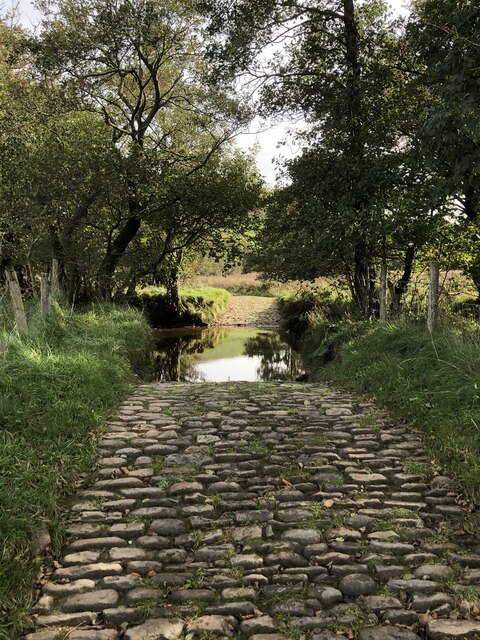
The moss is intersected by several peat-filled streams, which add to its unique charm and provide a habitat for aquatic creatures such as frogs and newts. The peat itself has historical importance, as it has been used as a fuel source for centuries. However, conservation efforts are now in place to protect and restore the peatlands due to their role in carbon storage and water retention.

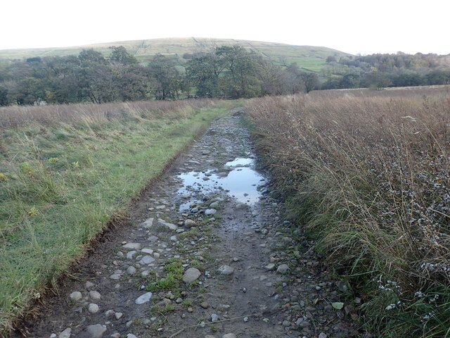
Birk Haw Moss is a popular destination for outdoor enthusiasts, attracting hikers, nature lovers, and birdwatchers. The surrounding Yorkshire Downs offer a network of trails and footpaths that allow visitors to explore the area and take in the stunning vistas. Whether it's a leisurely walk or a more challenging hike, Birk Haw Moss offers a unique and captivating experience for all who visit.

If you have any feedback on the listing, please let us know in the comments section below.

Birk Haw Moss Images

Images are sourced within 2km of 54.266228/-2.1696812 or Grid Reference SD8985. Thanks to Geograph Open Source API. All images are credited.

Marsett Lane This is just outside the hamlet of Marsett on the way to Countersett. The hill in the distance is Addlebrough.
Marsett Lane
This is just outside the hamlet of Marsett on the way to Countersett. The hill in the distance is Addlebrough.
Footbridge over Cragdale Water The footpath between Stalling Busk and Marsett is wet at the best of times. Cragdale water and then Raydale Beck are crossed by footbridges. This is the first one.
Footbridge over Cragdale Water
The footpath between Stalling Busk and Marsett is wet at the best of times. Cragdale water and then Raydale Beck are crossed by footbridges. This is the first one.
Old barn seen from Marsett Lane The barns in the Yorkshire Dales are in varying stages of dilapidation. This one seems quite good and it appears to have a new roof. The hill in the distance on the left is Addlebrough.
Old barn seen from Marsett Lane
The barns in the Yorkshire Dales are in varying stages of dilapidation. This one seems quite good and it appears to have a new roof. The hill in the distance on the left is Addlebrough.
Marsett Beck This looks downstream from Marsett Bridge. Marsett Beck flows into Crooks Beck a short distance ahead which in turn flows into Semer Water.
Marsett Beck
This looks downstream from Marsett Bridge. Marsett Beck flows into Crooks Beck a short distance ahead which in turn flows into Semer Water.
Track between two streams The track has just crossed Raydale Beck and is heading to the footbridge over Cragdale Water.
Track between two streams
The track has just crossed Raydale Beck and is heading to the footbridge over Cragdale Water.
Raydale near Stalling Busk Looking SW from Busk Lane.
Raydale near Stalling Busk
Looking SW from Busk Lane.
Busk Lane ford A cobbled ford on Busk Lane.
Busk Lane ford
A cobbled ford on Busk Lane.
Wether Fell Looking up at Wether Fell from Busk Lane.
Wether Fell
Looking up at Wether Fell from Busk Lane.
Marsett view Looking towards Addleborough.
Marsett view
Looking towards Addleborough.
Marsett Beck
Marsett Beck
Cobbled ford across Raydale Beck
The Cam high road. Great views along here.
The Cam high road.
Great views along here.
Common Allotments Looking NW from Cam High Road.
Common Allotments
Looking NW from Cam High Road.
Looking across Bardale Looking SW across Bardale from Cam High Road.
Looking across Bardale
Looking SW across Bardale from Cam High Road.
Addleborough Addleborough seen from the much taller Wether Fell.
Addleborough
Addleborough seen from the much taller Wether Fell.
Penhill Looking east from Drumaldrace towards Penhill.
Penhill
Looking east from Drumaldrace towards Penhill.
Wheatear A Wheatear on Wether Fell.
Wheatear
A Wheatear on Wether Fell.
Cairn above Raydale With Semer Water in middle distance and Addlebrough behind.
Cairn above Raydale
With Semer Water in middle distance and Addlebrough behind.
Show me another place!

Birk Haw Moss is located at Grid Ref: SD8985 (Lat: 54.266228, Lng: -2.1696812)

Division: North Riding

Administrative County: North Yorkshire

District: Richmondshire

Police Authority: North Yorkshire

What 3 Words

///bulk.teacher.stoppage. Near Leyburn, North Yorkshire

Related Wikis

Marsett

Marsett is one of three settlements in around Semer Water in Raydale, a small side dale off Wensleydale in North Yorkshire, England. Marsett is only a...

Wether Fell

Wether Fell (archaically Wetherfell), also known as Drumaldrace (the name of its summit), is a mountain in the Yorkshire Dales National Park, in North...

St Matthew's Church, Stalling Busk

St Matthew's Church, Stalling Busk is a Grade II listed parish church in the Church of England in Stalling Busk, North Yorkshire. == History == The church...

Stalling Busk

Stalling Busk is one of three settlements around Semer Water in the Richmondshire district of North Yorkshire in the small dale of Raydale just off...

Nearby Amenities

Located within 500m of 54.266228,-2.1696812
Thorn Keld
Natural: spring
Source: OS_OpenData_Streetview
Lat/Long: 54.2640272/-2.1668415
The data included in this document is from www.openstreetmap.org. The data is made available under ODbL.

Have you been to Birk Haw Moss?

Leave your review of Birk Haw Moss below (or comments, questions and feedback).