Common Allotments
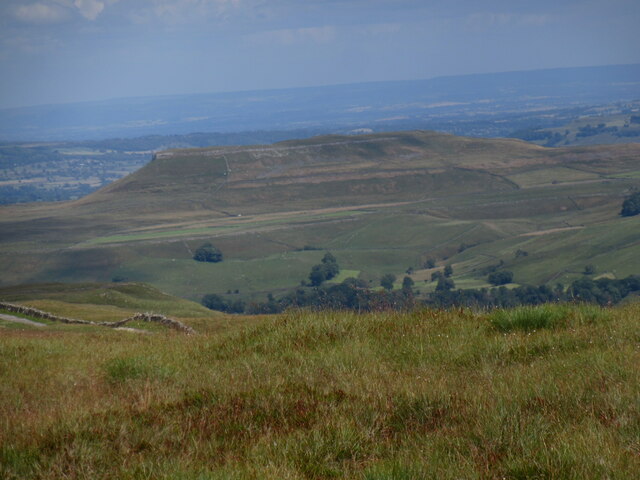
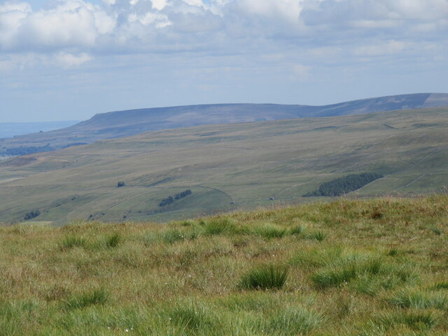
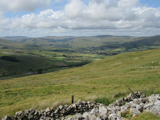
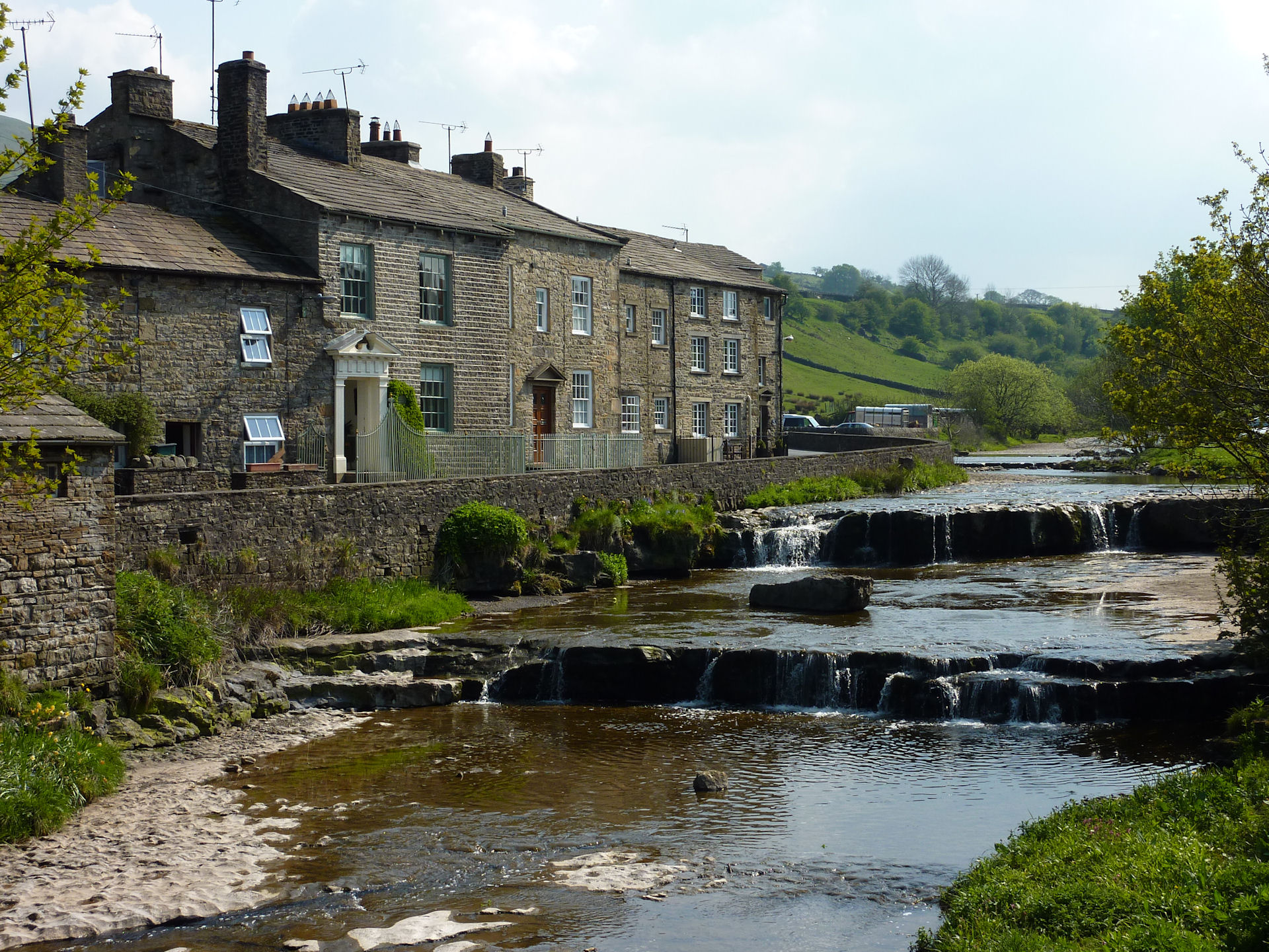
Downs, Moorland in Yorkshire Richmondshire
England
Common Allotments
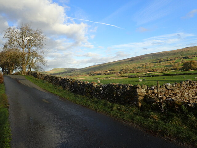
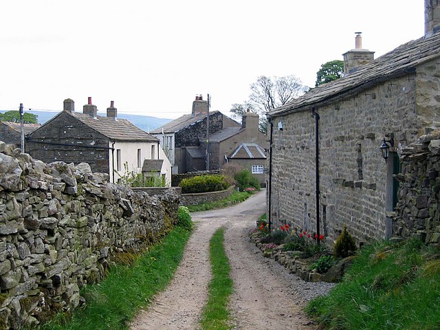
Common Allotments, Yorkshire, is a sprawling green space located on the outskirts of a small village. Nestled within the picturesque countryside, it covers an area of approximately 10 acres and offers a tranquil retreat for nature lovers and gardening enthusiasts alike. The allotments are divided into several plots, each designated for cultivation by individuals or families.
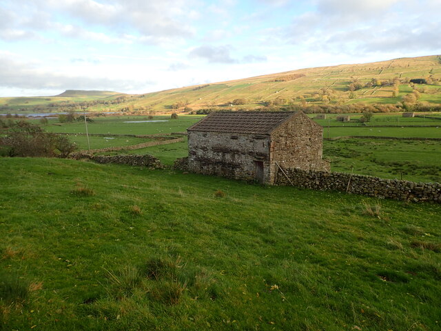
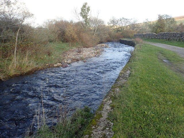
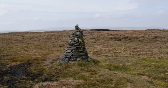
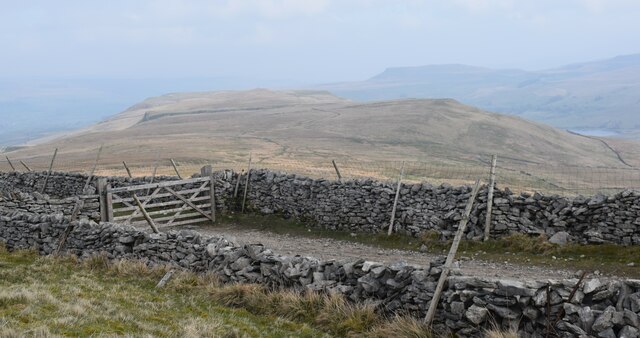
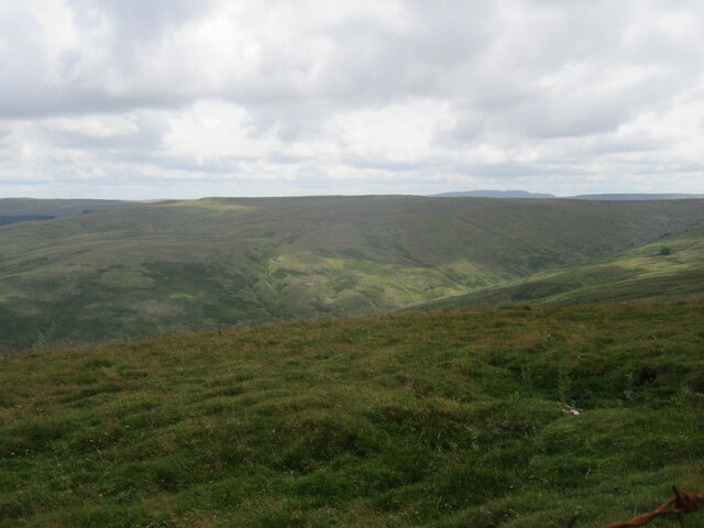
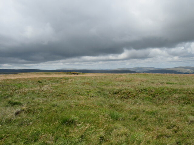
The landscape of Common Allotments is characterized by gentle undulating hills, showcasing the stunning beauty of the Yorkshire Downs and Moorland. The area is rich in fertile soil, making it an ideal spot for growing a variety of plants and vegetables. The allotments are well-maintained, with neat pathways winding through the plots and providing easy access to all areas.
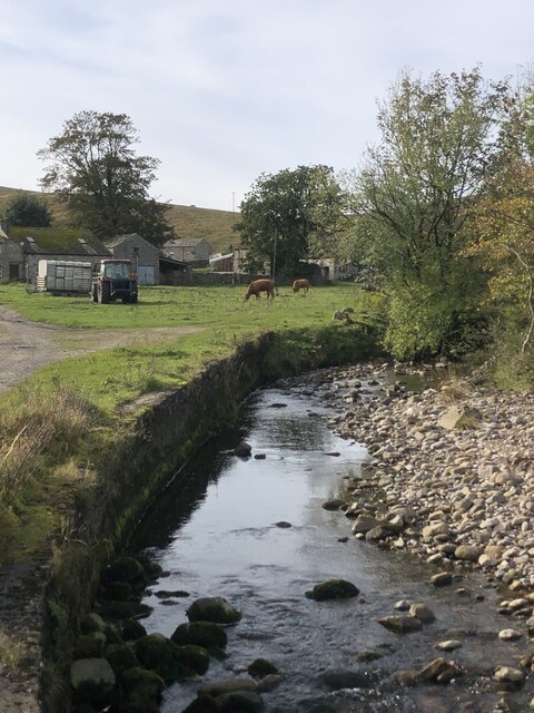
Visitors to Common Allotments can expect to see a diverse array of flora and fauna. The plots are filled with vibrant flowers, aromatic herbs, and luscious fruits and vegetables. The buzzing of bees and the chirping of birds create a harmonious soundtrack, adding to the peaceful ambiance of the surroundings.
The allotments serve as a community hub, fostering a sense of camaraderie among its members. Gardeners can often be found exchanging tips and advice, sharing their knowledge and experiences. Regular events and competitions are organized, encouraging friendly competition and a sense of community spirit.
Whether you are an experienced gardener or simply seeking a tranquil escape from the hustle and bustle of daily life, Common Allotments in Yorkshire offers a serene and idyllic setting for individuals to connect with nature and indulge in their passion for gardening.
If you have any feedback on the listing, please let us know in the comments section below.
Common Allotments Images
Images are sourced within 2km of 54.281339/-2.1732606 or Grid Reference SD8887. Thanks to Geograph Open Source API. All images are credited.


Common Allotments is located at Grid Ref: SD8887 (Lat: 54.281339, Lng: -2.1732606)
Division: North Riding
Administrative County: North Yorkshire
District: Richmondshire
Police Authority: North Yorkshire
What 3 Words
///quoted.impaired.perch. Near Leyburn, North Yorkshire
Nearby Locations
Related Wikis

Wether Fell
Wether Fell (archaically Wetherfell), also known as Drumaldrace (the name of its summit), is a mountain in the Yorkshire Dales National Park, in North...

Marsett
Marsett is one of three settlements in around Semer Water in Raydale, a small side dale off Wensleydale in North Yorkshire, England. Marsett is only a...
Burtersett
Burtersett is a small village in the Yorkshire Dales, North Yorkshire, England. It lies approximately 1 mile (1.6 km) east from Hawes and Gayle. The village...
Gayle, North Yorkshire
Gayle is a hamlet 0.4-mile (0.64 km) south of Hawes in Wensleydale, North Yorkshire, England. It is noted for the beck that flows through it and the old...

Gayle Mill, North Yorkshire
Gayle Mill, dating from about 1784, is thought to be the oldest structurally unaltered cotton mill in existence. It is located in the Wensleydale hamlet...

Wensleydale
Wensleydale is the dale or upper valley of the River Ure on the east side of the Pennines, one of the Yorkshire Dales in North Yorkshire, England. It is...
Dales Countryside Museum
The Dales Countryside Museum is a local museum for the Yorkshire Dales National Park in Northern England. Run by the National Park Authority, it tells...
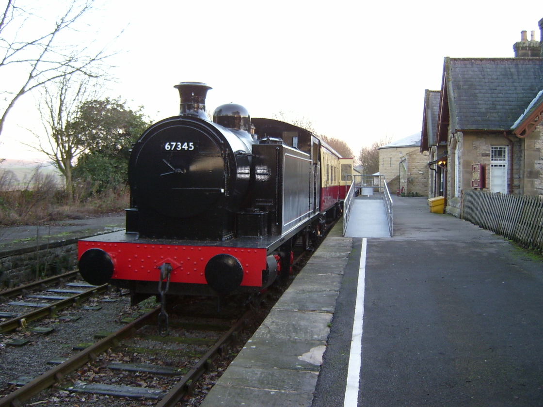
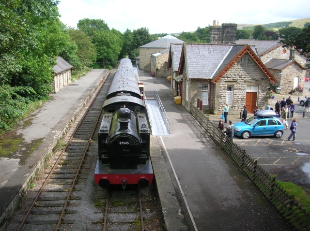
Hawes railway station
Hawes railway station is a disused railway station that served the town of Hawes in North Yorkshire, England. It was closed in 1959 and now forms part...
Nearby Amenities
Located within 500m of 54.281339,-2.1732606Have you been to Common Allotments?
Leave your review of Common Allotments below (or comments, questions and feedback).