Black Stalps Moss

Downs, Moorland in Yorkshire Richmondshire

England

Black Stalps Moss

Marsett Beck This looks downstream from Marsett Bridge. Marsett Beck flows into Crooks Beck a short distance ahead which in turn flows into Semer Water.
Marsett Beck Credit: Marathon

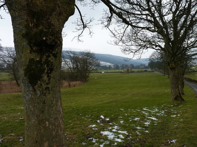
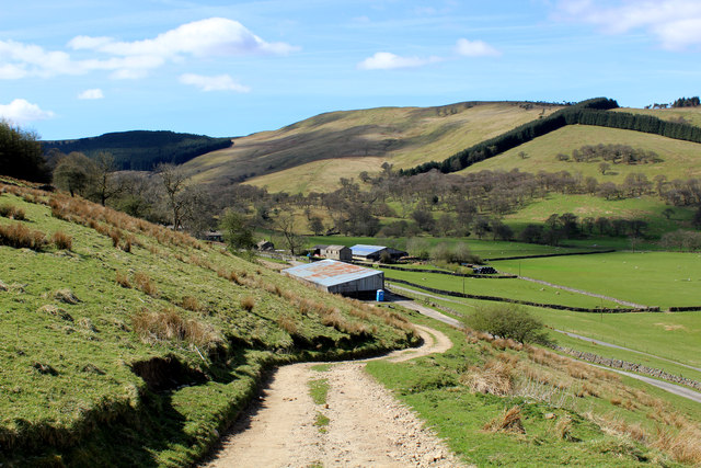
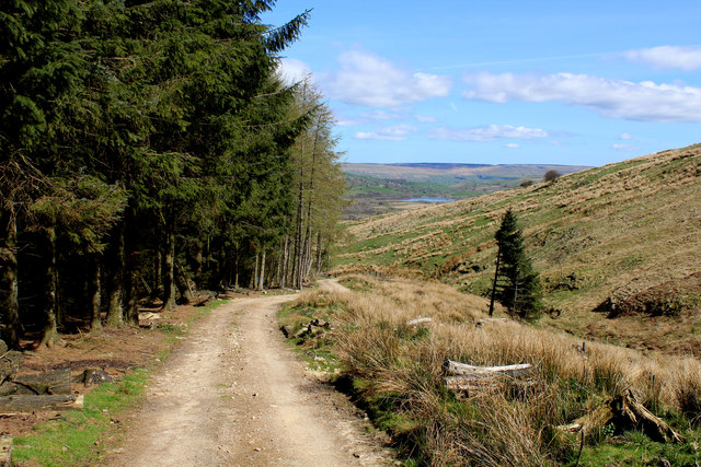
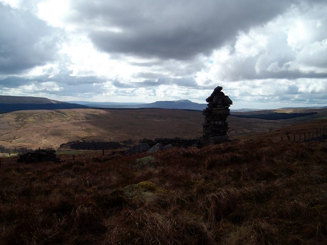
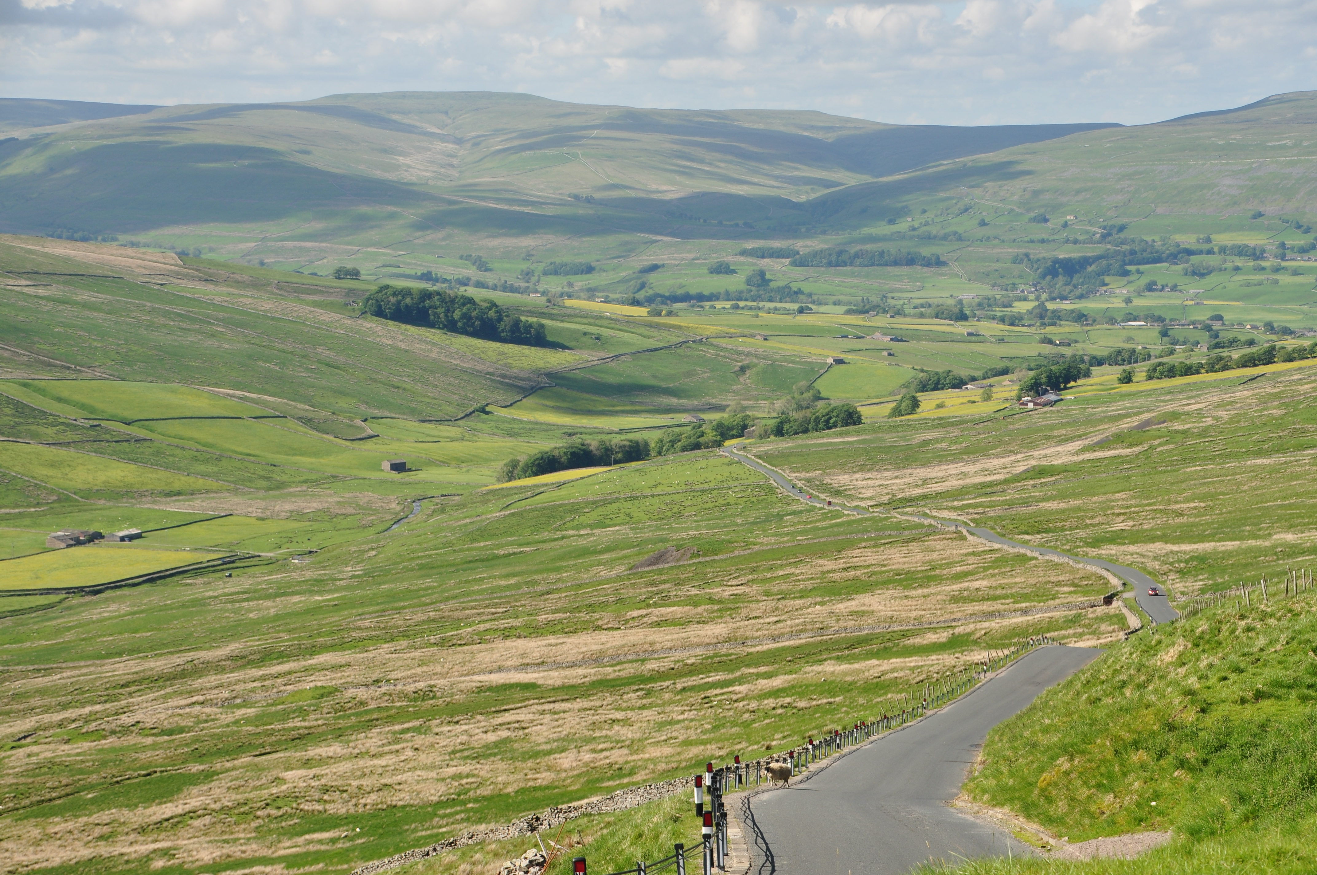
Black Stalps Moss is a renowned area located in Yorkshire, England, encompassing both the Yorkshire Downs and Moorland. This picturesque landscape is characterized by its vast stretches of undulating terrain, comprising heather-covered moors, deep valleys, and rugged hills. The area is known for its unique blend of natural beauty, historical significance, and diverse wildlife.

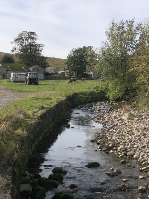
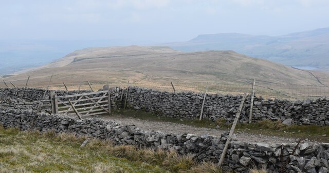
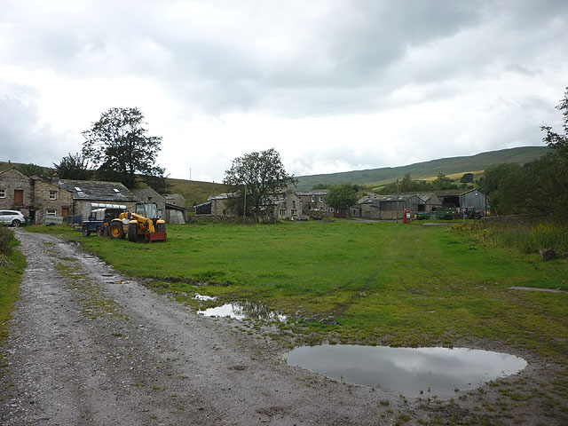
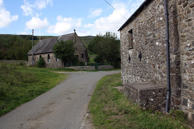
The Yorkshire Downs, a prominent feature of Black Stalps Moss, offer breathtaking views of rolling hills and expansive fields. These downs are covered in a patchwork of rich green grass, which serves as grazing land for sheep and livestock. The area is also dotted with ancient stone structures, such as burial mounds and stone circles, which provide intriguing glimpses into the region's history.

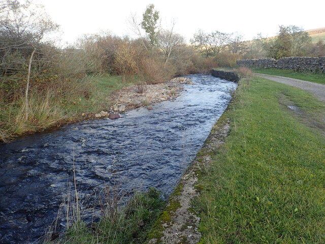
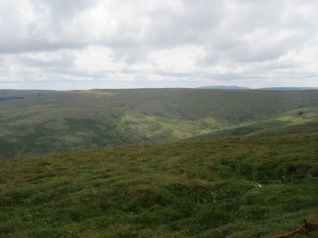
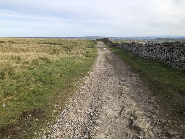
Moving towards the moorland, visitors are greeted by a striking landscape dominated by vast stretches of heather. This vibrant purple flower blooms in late summer, creating a stunning contrast against the greenery. The moors are crisscrossed by numerous footpaths and trails, allowing hikers and nature enthusiasts to explore the area's hidden treasures.

Black Stalps Moss is home to a diverse range of wildlife, including rare bird species like the red grouse and the golden plover. The moorland also provides habitat for various mammals, such as hares and foxes, while the streams and rivers that traverse the area are teeming with fish and other aquatic species.

Overall, Black Stalps Moss is a captivating and ecologically significant region that showcases the natural beauty of Yorkshire's Downs and Moorland. Its combination of stunning landscapes, historical landmarks, and thriving wildlife make it a popular destination for both locals and tourists seeking a tranquil and immersive experience in nature.

If you have any feedback on the listing, please let us know in the comments section below.

Black Stalps Moss Images

Images are sourced within 2km of 54.261477/-2.1734381 or Grid Reference SD8885. Thanks to Geograph Open Source API. All images are credited.

Marsett Beck This looks downstream from Marsett Bridge. Marsett Beck flows into Crooks Beck a short distance ahead which in turn flows into Semer Water.
Marsett Beck
This looks downstream from Marsett Bridge. Marsett Beck flows into Crooks Beck a short distance ahead which in turn flows into Semer Water.
Marsett Beck
Marsett Beck
The Cam high road. Great views along here.
The Cam high road.
Great views along here.
Looking across Bardale Looking SW across Bardale from Cam High Road.
Looking across Bardale
Looking SW across Bardale from Cam High Road.
Cam High Road on the edge of Wether Fell The Cam High Road is a Roman road that connected Bainbridge to Ingleton.
Cam High Road on the edge of Wether Fell
The Cam High Road is a Roman road that connected Bainbridge to Ingleton.
Footbridge over gill above Marsett
Marsett village green Not the most scenic of greens perhaps?
Marsett village green
Not the most scenic of greens perhaps?
Benchmark on barn conversion Ordnance Survey cut mark benchmark described on the Bench Mark Database at <span class="nowrap"><a title="http://www.bench-marks.org.uk/bm39046" rel="nofollow ugc noopener" href="http://www.bench-marks.org.uk/bm39046">Link</a><img style="margin-left:2px;" alt="External link" title="External link - shift click to open in new window" src="https://s1.geograph.org.uk/img/external.png" width="10" height="10"/></span>
Benchmark on barn conversion
Ordnance Survey cut mark benchmark described on the Bench Mark Database at LinkExternal link
Barn conversion and  Wesleyan Chapel There is an OS benchmark <a href="https://www.geograph.org.uk/photo/2728199">SD9086 : Benchmark on barn conversion</a> on the barn conversion (fourth stone above ground beside the downpipe). The chapel <a href="https://www.geograph.org.uk/photo/1962470">SD9086 : Wesleyan Chapel Marsett</a> dates from 1897.
Barn conversion and Wesleyan Chapel
There is an OS benchmark SD9086 : Benchmark on barn conversion on the barn conversion (fourth stone above ground beside the downpipe). The chapel SD9086 : Wesleyan Chapel Marsett dates from 1897.
Marsett Bridge
Marsett Bridge
Houses in Marsett A small hamlet on the Bardale Beck.
Houses in Marsett
A small hamlet on the Bardale Beck.
Barn between the trees Close to Raydale Lodge.
Barn between the trees
Close to Raydale Lodge.
Raydale House Now a country house with holiday accommodation, Raydale House is not only reputed to be haunted by "Auld 'opper" but was also the scene of the Raydale Riot, when in 1617 Sir Thomas Metcalfe of Nappa Hall besieged the house with 60 armed men in a dispute with his tenant, William Robinson of Worton.
Raydale House
Now a country house with holiday accommodation, Raydale House is not only reputed to be haunted by "Auld 'opper" but was also the scene of the Raydale Riot, when in 1617 Sir Thomas Metcalfe of Nappa Hall besieged the house with 60 armed men in a dispute with his tenant, William Robinson of Worton.
Village scene: Marsett
Marsett A small farming community.
Marsett
A small farming community.
Field above Marsett Marsett sits in the bottom of Raydale surrounded by grazing land.
Field above Marsett
Marsett sits in the bottom of Raydale surrounded by grazing land.
Descending into Raydale Shooting track dropping down towards Raydale House
Descending into Raydale
Shooting track dropping down towards Raydale House
Beside Raydale House Plantation Shooting track descending into Raydale, beside a large plantation
Beside Raydale House Plantation
Shooting track descending into Raydale, beside a large plantation
Show me another place!

Black Stalps Moss is located at Grid Ref: SD8885 (Lat: 54.261477, Lng: -2.1734381)

Division: North Riding

Administrative County: North Yorkshire

District: Richmondshire

Police Authority: North Yorkshire

What 3 Words

///wrist.unpainted.sponge. Near Settle, North Yorkshire

Nearby Locations

Black Stalps Moss

Related Wikis

Marsett

Marsett is one of three settlements in around Semer Water in Raydale, a small side dale off Wensleydale in North Yorkshire, England. Marsett is only a...

Wether Fell

Wether Fell (archaically Wetherfell), also known as Drumaldrace (the name of its summit), is a mountain in the Yorkshire Dales National Park, in North...

Fleet Moss

Fleet Moss is an upland area separating Wharfedale from Wensleydale in North Yorkshire, England. The area is 1,850 ft (560 m) above sea level (although...

Sleddale

Sleddale is a short, narrow valley to the south of Wensleydale in North Yorkshire, England. The waters draining down the valley feed into the River Ure...

Nearby Amenities

Located within 500m of 54.261477,-2.1734381
Cock Lake Side
Is In Country Code: GB
Is In County: North Yorkshire
Is In Municipality: Richmondshire
Natural: fell
Source: NPE
Lat/Long: 54.2589403/-2.1771587
The data included in this document is from www.openstreetmap.org. The data is made available under ODbL.

Have you been to Black Stalps Moss?

Leave your review of Black Stalps Moss below (or comments, questions and feedback).