Hardwick
Settlement in Huntingdonshire Huntingdonshire
England
Hardwick

Hardwick is a small village located in the county of Huntingdonshire, in the eastern part of England. It is situated approximately 15 miles west of the city of Cambridge and 18 miles north of the town of Bedford. The village is surrounded by picturesque countryside, with rolling hills and open fields, offering a tranquil and idyllic setting.
Hardwick has a population of around 600 residents and is known for its close-knit community and friendly atmosphere. The village is characterized by its charming thatched cottages and traditional architecture, which give it a quintessentially English feel. It also boasts a rich history, with evidence of settlement dating back to Roman times.
The heart of the village is centered around the historic St. Mary's Church, a Grade II listed building that dates back to the 13th century. The church, with its striking architecture and beautiful stained glass windows, serves as a focal point for the community.
Although small in size, Hardwick offers a range of amenities for its residents. These include a village hall, a local pub, and a primary school, providing essential services and opportunities for social interaction.
The surrounding countryside provides ample opportunities for outdoor activities, such as walking, cycling, and horse riding. Additionally, the nearby towns of Cambridge and Bedford offer a wider range of amenities, including shopping centers, restaurants, and cultural attractions.
Overall, Hardwick is a charming village that combines a rich history with a peaceful and picturesque setting, making it an attractive place to live for those seeking a rural lifestyle.
If you have any feedback on the listing, please let us know in the comments section below.
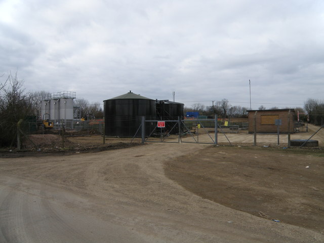
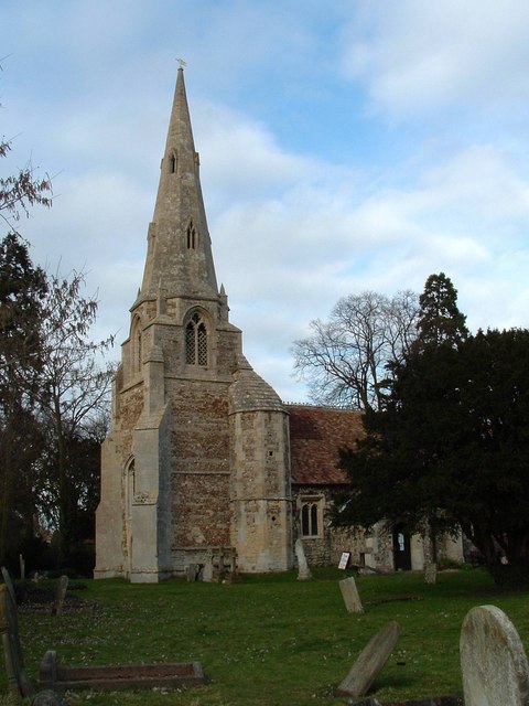
Hardwick Images
Images are sourced within 2km of 52.299401/-0.252633 or Grid Reference TL1968. Thanks to Geograph Open Source API. All images are credited.


Hardwick is located at Grid Ref: TL1968 (Lat: 52.299401, Lng: -0.252633)
Administrative County: Cambridgeshire
District: Huntingdonshire
Police Authority: Cambridgeshire
What 3 Words
///nightcap.awards.stood. Near Buckden, Cambridgeshire
Nearby Locations
Related Wikis
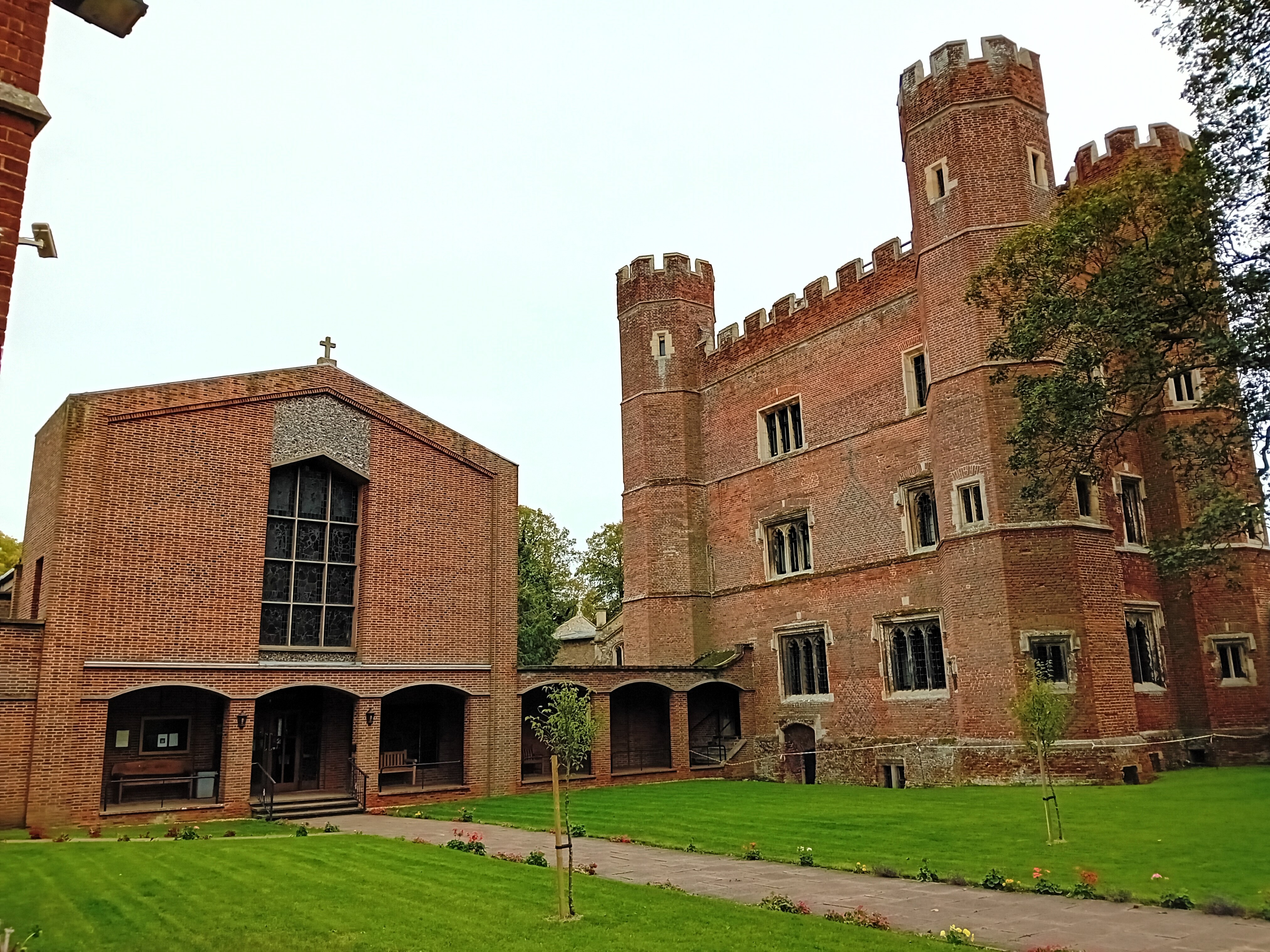
Buckden Towers
Buckden Towers, formerly known as Buckden Palace, is a medieval fortified house and bishop's palace in Buckden, Cambridgeshire, England. It is now a conference...

Buckden, Cambridgeshire
Buckden is a village and civil parish 3.7 miles (6.0 km) north of St Neots and 4 miles (6.4 km) south-west of Huntingdon, England. It includes the hamlets...
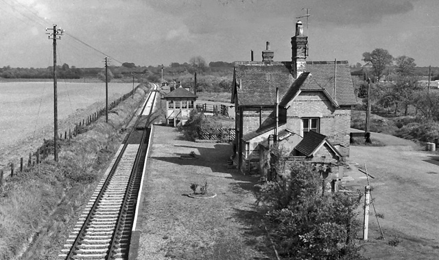
Buckden railway station
Buckden railway station was a railway station in Buckden, Cambridgeshire. The station and its line closed in year 1959. The signal box is now preserved...
Grafham, Cambridgeshire
Grafham is a village and civil parish in Cambridgeshire, England. Grafham lies approximately 5 miles (8 km) south-west of Huntingdon. Grafham is situated...
Nearby Amenities
Located within 500m of 52.299401,-0.252633Have you been to Hardwick?
Leave your review of Hardwick below (or comments, questions and feedback).