France Down
Downs, Moorland in Dorset
England
France Down
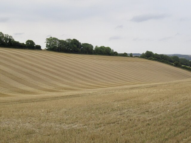
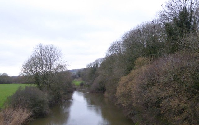
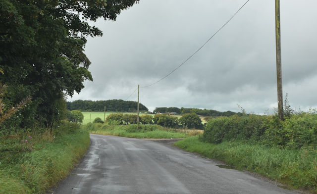
France Down is a picturesque area located in the county of Dorset, England. Situated in the southwestern part of the country, it is part of the larger Dorset Downs, known for its rolling hills and stunning natural beauty. The area is characterized by its vast moorland, which stretches for miles, providing a serene and tranquil environment for visitors to enjoy.
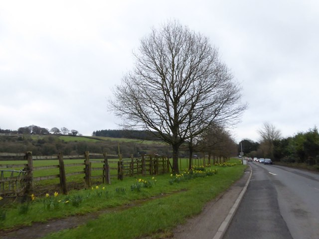
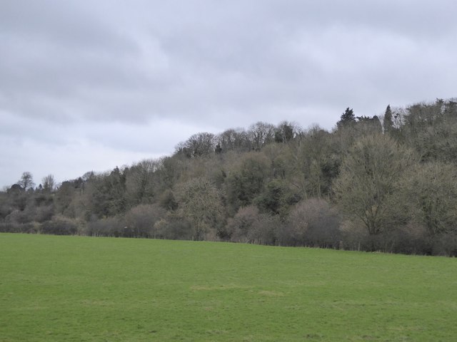
The landscape of France Down is dominated by open grasslands, scattered with patches of heather, gorse, and bracken. The undulating terrain offers breathtaking views of the surrounding countryside, with its sweeping valleys and distant hills. The area is also home to a variety of wildlife, including birds, such as skylarks and kestrels, as well as small mammals like rabbits and foxes.
France Down is a popular destination for outdoor enthusiasts, offering a range of activities including hiking, horseback riding, and birdwatching. The network of footpaths and bridleways allows visitors to explore the area at their own pace, immersing themselves in the natural beauty of the downs. The tranquility and solitude found in France Down make it an ideal location for those seeking a peaceful retreat from the hustle and bustle of everyday life.
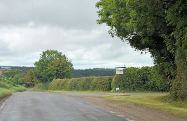
Despite its remote location, France Down is easily accessible by road, with ample parking facilities available for visitors. The nearby village of Dorchester provides a range of amenities including cafes, pubs, and accommodation options for those looking to extend their stay in the area.
In conclusion, France Down in Dorset is a captivating moorland area characterized by its rolling hills, vast grasslands, and stunning views. It offers a peaceful retreat for nature lovers and outdoor enthusiasts, providing a tranquil escape in the heart of the English countryside.
If you have any feedback on the listing, please let us know in the comments section below.
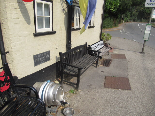
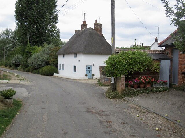
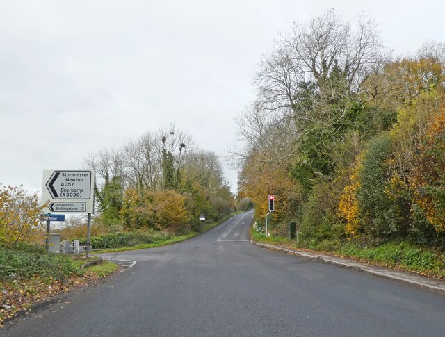
France Down Images
Images are sourced within 2km of 50.882228/-2.1777333 or Grid Reference ST8709. Thanks to Geograph Open Source API. All images are credited.
France Down is located at Grid Ref: ST8709 (Lat: 50.882228, Lng: -2.1777333)
Unitary Authority: Dorset
Police Authority: Dorset
What 3 Words
///folks.zapped.ridiculed. Near Blandford Forum, Dorset
Nearby Locations
Related Wikis

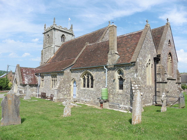
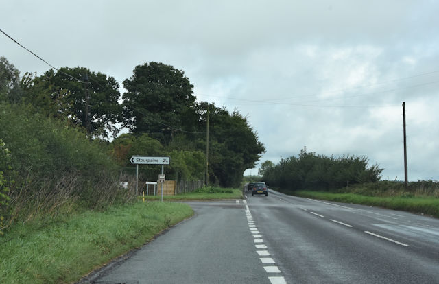
Stourpaine
Stourpaine () is a village and civil parish in the ceremonial county of Dorset in southern England. It is situated in the valley of the River Stour in...

Stourpaine and Durweston railway station
Stourpaine & Durweston Halt was a railway station in the English county of Dorset. It was located between Shillingstone and Blandford Forum on the Somerset...

Ash (near Stourpaine)
Ash is a hamlet approximately 0.5 miles (1 km) north of the village of Stourpaine, Dorset, England.Ash was listed in the Domesday Book of 1086. == References... ==

Durweston
Durweston ( dər-WES-tən) is a village and civil parish in the English county of Dorset. It lies two miles (three kilometres) northwest of the town of Blandford...

The Coade Hall
The Coade Hall is a brick-built theatre and concert hall at Bryanston School, near Blandford Forum in Dorset, England. == History == It was opened on...

Bryanston School
Bryanston School is a public school (English private boarding and day school for pupils aged 13–18) located next to the village of Bryanston, and near...

The Blandford School
The Blandford School is a coeducational secondary school located in Blandford Forum in the English county of Dorset.It is a voluntary controlled school...

Hod Hill
Hod Hill (or Hodd Hill) is a large hill fort in the Blackmore Vale, 3 miles (5 km) north-west of Blandford Forum, Dorset, England. The fort sits on a 143...
Nearby Amenities
Located within 500m of 50.882228,-2.1777333Have you been to France Down?
Leave your review of France Down below (or comments, questions and feedback).