Dale Common

Downs, Moorland in Staffordshire Stafford

England

Dale Common

Old oak tree at Woodhouse Farm I think this old oak tree feels the spring approaching...its aged boughs seem to stretch and revel in the warm sunshine after a frosty night...I wonder how many springs has it greeted like this?
Old oak tree at Woodhouse Farm Credit: Jeremy Bolwell

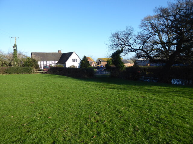
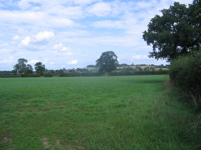
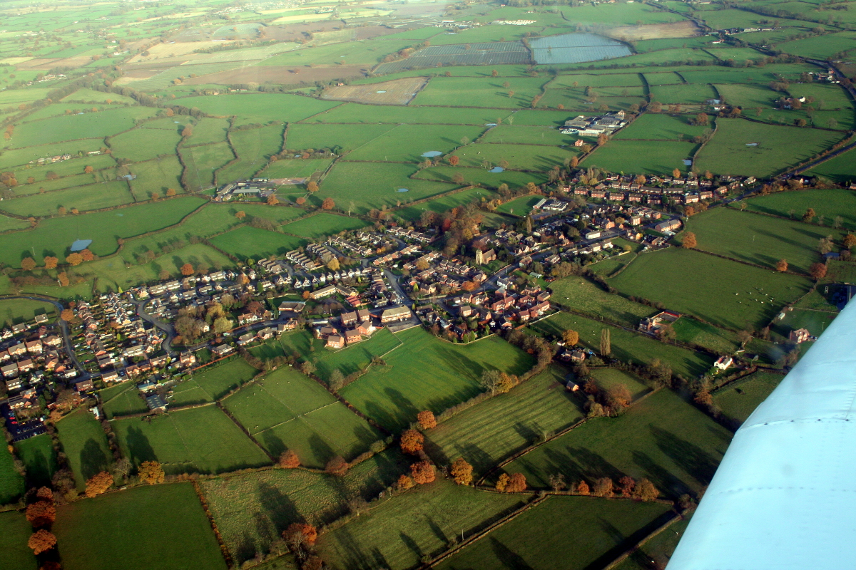
Located in the county of Staffordshire, England, Dale Common is a picturesque area characterized by its stunning downs and moorland landscapes. Covering a vast expanse, the region is known for its natural beauty and tranquility, attracting visitors seeking solace in nature.

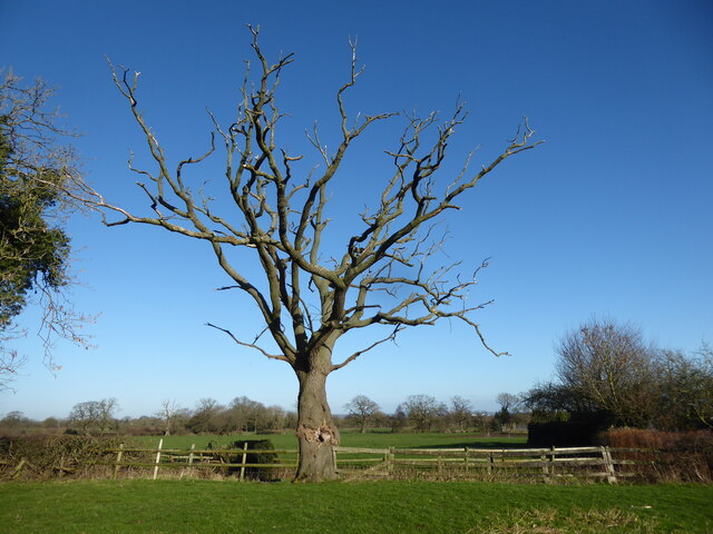
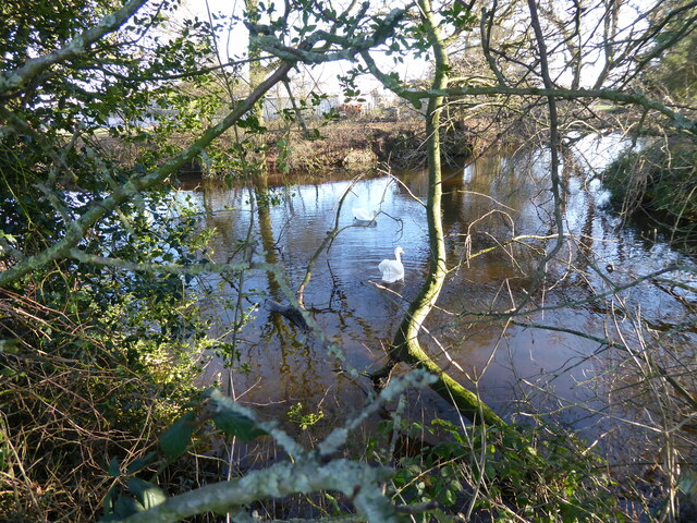
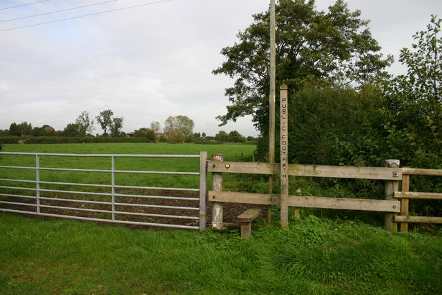
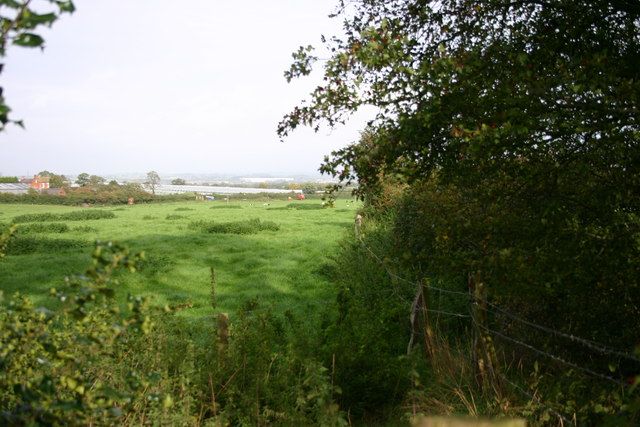
The downs of Dale Common offer sweeping views of the surrounding countryside, with undulating hills and meadows stretching as far as the eye can see. These open spaces provide ample opportunities for outdoor activities such as walking, picnicking, and birdwatching. The area is home to a variety of bird species, making it a haven for ornithologists and nature enthusiasts.

In addition to the downs, Dale Common boasts extensive moorland that is rich in biodiversity. The moors are characterized by their heather-covered hills, creating a vibrant and colorful landscape. Walking trails crisscross the area, allowing visitors to explore the moorland's unique flora and fauna, including wildflowers, mosses, and various bird species.

Dale Common is also known for its historical significance. The area has evidence of ancient settlements, with archaeological finds dating back to the Neolithic and Bronze Age periods. These historical remnants add an extra layer of intrigue to the region, attracting history buffs and archaeology enthusiasts.

Overall, Dale Common, Staffordshire (Downs, Moorland) offers a haven of natural beauty, providing visitors with a unique opportunity to immerse themselves in the serene countryside, explore diverse ecosystems, and delve into the area's rich history.

If you have any feedback on the listing, please let us know in the comments section below.
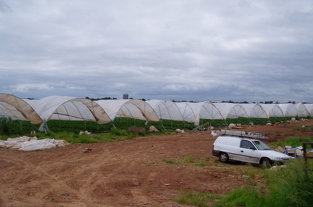
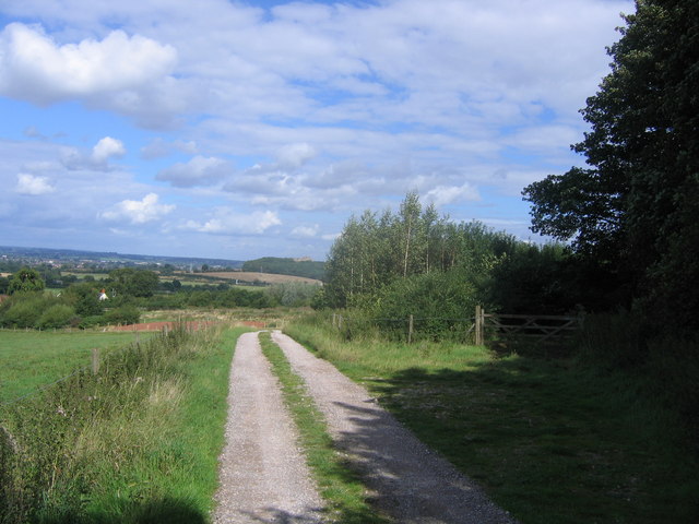
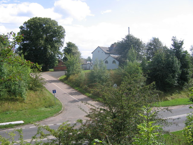
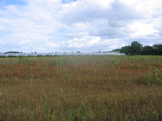
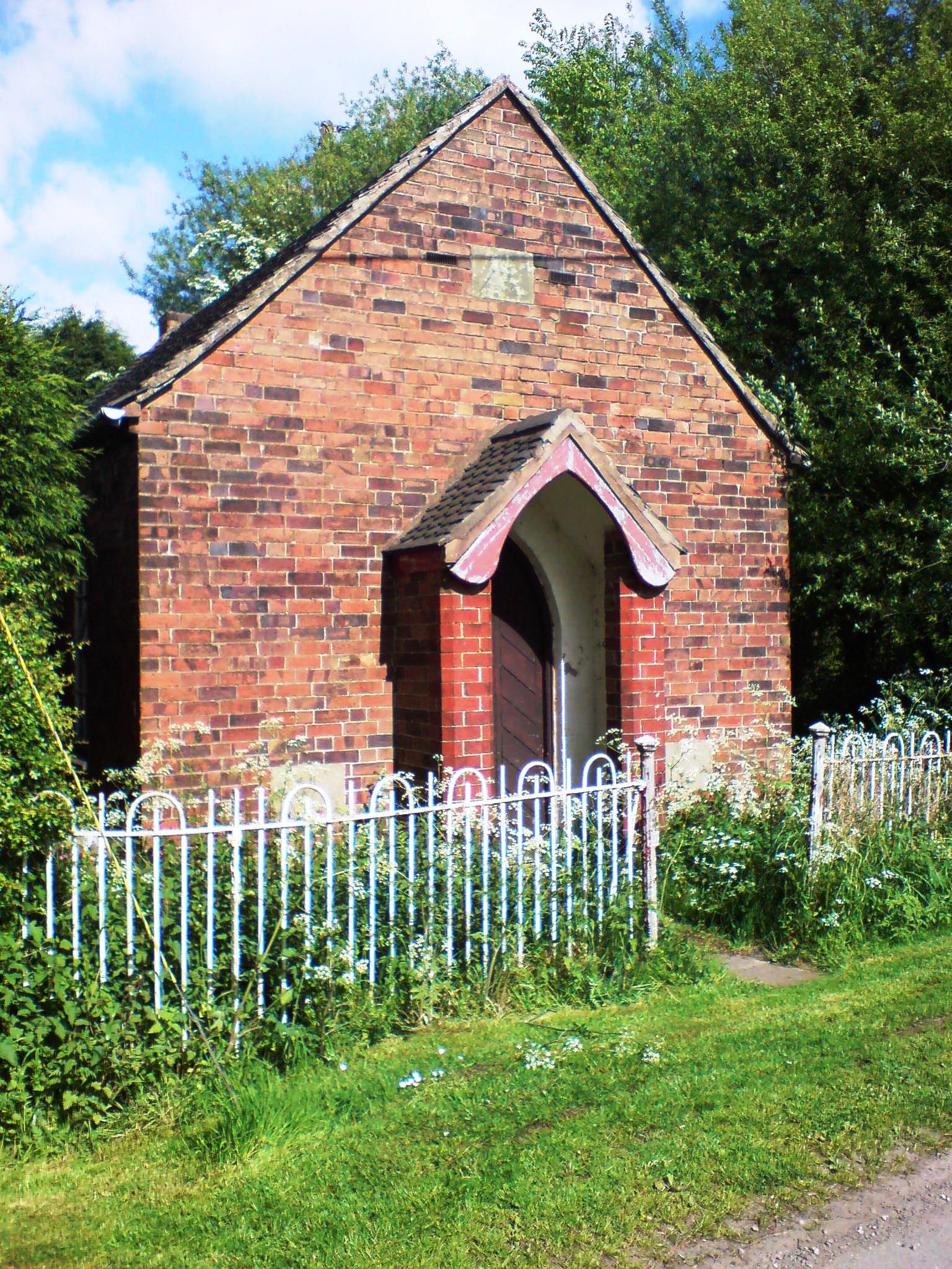
Dale Common Images

Images are sourced within 2km of 52.789086/-2.1882467 or Grid Reference SJ8721. Thanks to Geograph Open Source API. All images are credited.

Old oak tree at Woodhouse Farm I think this old oak tree feels the spring approaching...its aged boughs seem to stretch and revel in the warm sunshine after a frosty night...I wonder how many springs has it greeted like this?
Old oak tree at Woodhouse Farm
I think this old oak tree feels the spring approaching...its aged boughs seem to stretch and revel in the warm sunshine after a frosty night...I wonder how many springs has it greeted like this?
Woodhouse Farm Interesting looking place.
Woodhouse Farm
Interesting looking place.
Pair of swans on the moat at Woodhouse Farm These two lovelies were enjoying some peace until I stumbled past. The male checked me out, then with an almost audible snort he turned his back and paddled out after his preening wife. Good luck to them.
Pair of swans on the moat at Woodhouse Farm
These two lovelies were enjoying some peace until I stumbled past. The male checked me out, then with an almost audible snort he turned his back and paddled out after his preening wife. Good luck to them.
Walkers on the Way for the Millennium at Gnosall This retired couple were out enjoying a walk together. How nice to see.
Walkers on the Way for the Millennium at Gnosall
This retired couple were out enjoying a walk together. How nice to see.
Road bridge over the old railway line near Gnosall The old track bed now carries a popular local walking and cycling path, the Way for the Millennium, and walkers seem to enjoy using it. I saw several couples out today. Great to see.
Road bridge over the old railway line near Gnosall
The old track bed now carries a popular local walking and cycling path, the Way for the Millennium, and walkers seem to enjoy using it. I saw several couples out today. Great to see.
The Shropshire - pub on main A518 Haughton
St Giles', Haughton The church is built of brick and the tower of stone.
St Giles', Haughton
The church is built of brick and the tower of stone.
Prepare to meet thy doom! This red sandstone gravestone in Haughton churchyard has the following verse-
"The grave has eloquence its lectures teach
In silence louder than devines can preach
Hear what it says ye sons of folly hear
It speaks to you lend an attentive ear
Prepare! prepare! prepare! to die"
Prepare to meet thy doom!
This red sandstone gravestone in Haughton churchyard has the following verse- "The grave has eloquence its lectures teach In silence louder than devines can preach Hear what it says ye sons of folly hear It speaks to you lend an attentive ear Prepare! prepare! prepare! to die"
Strawberry fields forever! Giant polytunnels housing strawberry plants, just ready for harvesting.
Strawberry fields forever!
Giant polytunnels housing strawberry plants, just ready for harvesting.
Track at Bury Ring The earthworks of the iron age hill fort of Bury Ring is in the trees to the right, while a later generation of fort (but still very old), that of Stafford Castle, can be seen in the woods in the distance.
Track at Bury Ring
The earthworks of the iron age hill fort of Bury Ring is in the trees to the right, while a later generation of fort (but still very old), that of Stafford Castle, can be seen in the woods in the distance.
Billington Looking from the road to Bury Ring earthworks to Billington Farm across the A518
Billington
Looking from the road to Bury Ring earthworks to Billington Farm across the A518
Scattered sunflowers in field A field with seemingly random sunflowers
Scattered sunflowers in field
A field with seemingly random sunflowers
Grassy field An empty grassy field. The trees on the high ground on the horizon mark the earthworks of an iron age fort, called Bury Ring
Grassy field
An empty grassy field. The trees on the high ground on the horizon mark the earthworks of an iron age fort, called Bury Ring
Old railway bridge The railway line from Stafford to Newport used to cross this bridge. The track bed has recently been converted to a sustrans cycle route.
Old railway bridge
The railway line from Stafford to Newport used to cross this bridge. The track bed has recently been converted to a sustrans cycle route.
Crossroads A crossroad of country lanes (as another lane unseen in photo goes left)
Crossroads
A crossroad of country lanes (as another lane unseen in photo goes left)
The Greenway, disused railway track A view of The Greenway, taken from the picnic area at Haughton, near Stafford. You can cycle from the north of Stafford at Beaconside to this point comfortably, from here to Gnosall can only be cycled by the determined with some carrying of the bike, though the route is to be opened up in the near future.
The Greenway, disused railway track
A view of The Greenway, taken from the picnic area at Haughton, near Stafford. You can cycle from the north of Stafford at Beaconside to this point comfortably, from here to Gnosall can only be cycled by the determined with some carrying of the bike, though the route is to be opened up in the near future.
Public footpath off Brazenhill Lane, Haughton This public footpath leads nowhere in particular, but meets up with other paths that go across lovely peaceful countryside.
Public footpath off Brazenhill Lane, Haughton
This public footpath leads nowhere in particular, but meets up with other paths that go across lovely peaceful countryside.
A Field next to Billington Bank, Stafford This field is next to Billington Bank (A518) which is just beyond the distant hedge. Over the other side of the road are cold frames which produce strawberries for supermarkets.
A Field next to Billington Bank, Stafford
This field is next to Billington Bank (A518) which is just beyond the distant hedge. Over the other side of the road are cold frames which produce strawberries for supermarkets.
Show me another place!

Dale Common is located at Grid Ref: SJ8721 (Lat: 52.789086, Lng: -2.1882467)

Administrative County: Staffordshire

District: Stafford

Police Authority: Staffordshire

What 3 Words

///ooze.protests.brings. Near Gnosall, Staffordshire

Nearby Locations

Haughtondale Dale Common

Related Wikis

Haughton railway station

Haughton railway station was a station in Haughton, Staffordshire, England. The station was opened on 1 June 1849 and closed in May 1949. == References... ==

Haughton, Staffordshire

Haughton is a village in Staffordshire, England, approximately 4 miles outside and to the west of the county town of Stafford. It lies on the A518 between...

Brazenhill

Brazenhill is rural area immediately north of the village of Haughton in Staffordshire, England. It is effectively defined by Brazenhill Lane which is...

Berry Ring

Berry Ring (also known as Bury Ring) is an Iron Age hillfort in Staffordshire, England, lying some two miles southwest of the county town of Stafford,...

Derrington

Derrington is a village west of the town of Stafford, in Staffordshire, England. For population details from the 2011 Census see under Seighford. Derrington...
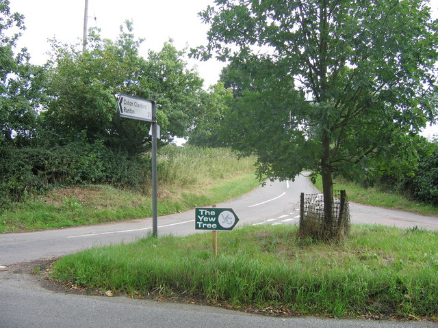
Coton Clanford

Coton Clanford is a small dispersed Staffordshire village lying in gently rolling countryside 3 miles due west of Stafford, England, and 1 mile southeast...

Stafford Rural District

Stafford Rural District was a rural district in the county of Staffordshire. It was created in 1894 and abolished in 1974 by virtue of the Local Government...

Aston, Stafford

Aston is a hamlet in the county of Staffordshire, England. Aston was recorded in the Domesday Book as Estone. == References ==

Related Videos

Haughton Christmas lights still need your donations please.

We are so sad that we will not have the Christmas lights up this year but we know its for the best to keep everyone safe. However ...

Nearby Amenities

Located within 500m of 52.789086,-2.1882467
The data included in this document is from www.openstreetmap.org. The data is made available under ODbL.

Have you been to Dale Common?

Leave your review of Dale Common below (or comments, questions and feedback).