East Allotment
Downs, Moorland in Durham
England
East Allotment

East Allotment, Durham, commonly referred to as Downs, Moorland, is a quaint and picturesque village located in the county of Durham, in northeast England. Situated amidst stunning natural landscapes, it offers a tranquil and idyllic setting for its residents and visitors.
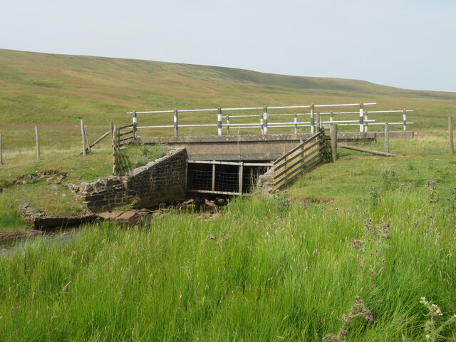
The village is known for its rich history, dating back several centuries. It is believed to have been established during the medieval period, and remnants of its past can still be seen in the form of ancient buildings and structures scattered throughout the area. These historical landmarks serve as a testament to the village's cultural heritage.
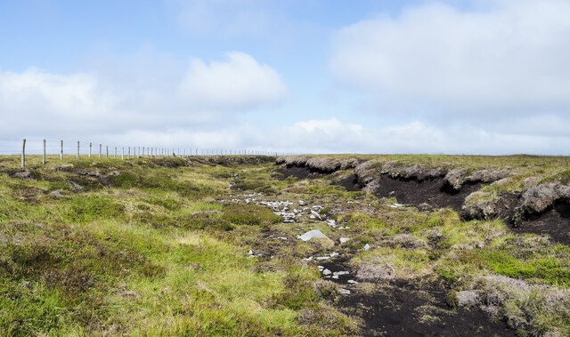
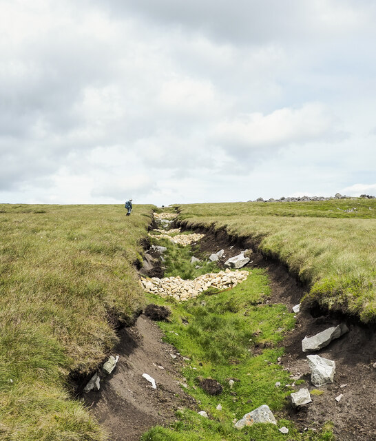
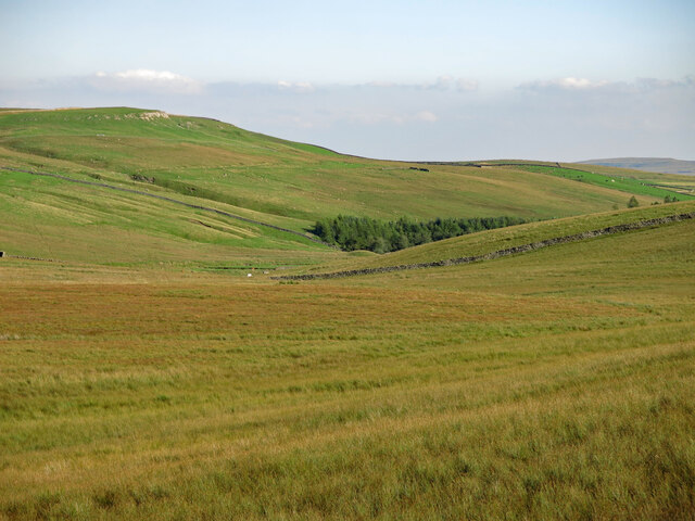
Surrounded by rolling hills and lush green fields, East Allotment is a haven for nature lovers. The landscape is dotted with charming cottages, many of which have been lovingly restored and maintained. The village exudes a sense of community and is known for its friendly and welcoming residents.
Despite its rural location, East Allotment benefits from excellent transportation links. The nearby A1 motorway provides easy access to neighboring towns and cities, making it convenient for commuters.
Amenities in the village include a local pub, a village hall, and a small convenience store, catering to the everyday needs of its residents. Additionally, the village is home to a primary school, ensuring that families have access to quality education within a close proximity.
East Allotment, Durham, Downs, Moorland, is a hidden gem, offering a peaceful and close-knit community, breathtaking scenery, and a rich history that adds to its charm.
If you have any feedback on the listing, please let us know in the comments section below.
East Allotment Images
Images are sourced within 2km of 54.688013/-2.2042468 or Grid Reference NY8632. Thanks to Geograph Open Source API. All images are credited.


East Allotment is located at Grid Ref: NY8632 (Lat: 54.688013, Lng: -2.2042468)
Unitary Authority: County Durham
Police Authority: Durham
What 3 Words
///ballpoint.screeches.bashed. Near Newbiggin, Co. Durham
Nearby Locations
Related Wikis

Forest and Frith
Forest and Frith is a civil parish in the County Durham unitary authority, in the ceremonial county of Durham, England. In the 2011 census it had a population...

Langdon Beck
Langdon Beck is a village in County Durham, England. It is situated in upper Teesdale, between Forest-in-Teesdale and Harwood, halfway between Penrith...
Harthope Moss
Harthope Moss, also known as Chapel Fell (elevation 627 m; 2,057 ft) is a mountain pass in the English Pennines. The pass divides Weardale to the north...
Forest-in-Teesdale
Forest-in-Teesdale is a village in County Durham, England. It is situated in upper Teesdale, on the north side of the Tees between Newbiggin and Langdon...
Ettersgill
Ettersgill is a village in County Durham, England. It is situated at the top of Teesdale, on the north side of the Tees between Newbiggin and Forest-in...

Upper Teesdale
Upper Teesdale is a Site of Special Scientific Interest (SSSI) in the west County Durham, England. It encompasses an extensive upland area that includes...

Harwood, County Durham
Harwood is a small valley and village near the head of Teesdale. Harwood Beck is a tributary of the River Tees in County Durham which forms a short valley...

High Force
High Force is a waterfall on the River Tees, near Middleton-in-Teesdale, Teesdale, England. The waterfall is within the North Pennines Area of Outstanding...
Nearby Amenities
Located within 500m of 54.688013,-2.2042468Have you been to East Allotment?
Leave your review of East Allotment below (or comments, questions and feedback).