Bardale Head Plantation
Downs, Moorland in Yorkshire Richmondshire
England
Bardale Head Plantation
The requested URL returned error: 429 Too Many Requests
If you have any feedback on the listing, please let us know in the comments section below.
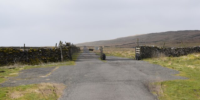
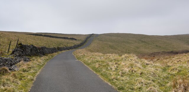
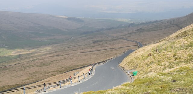
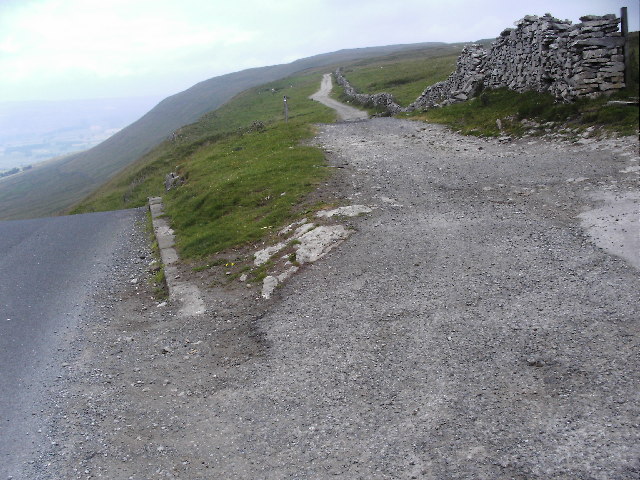
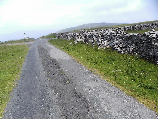
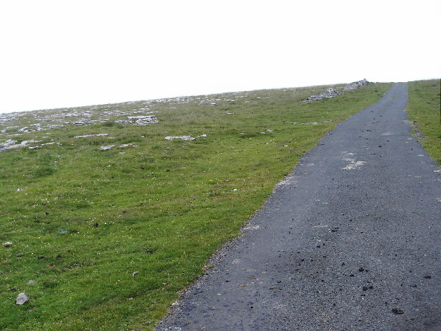
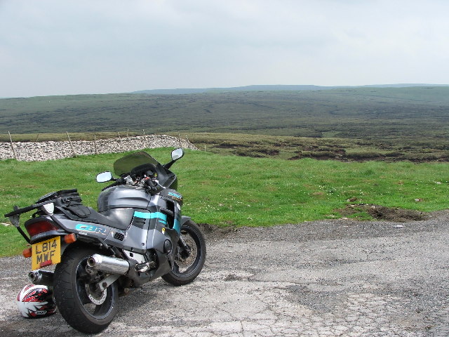
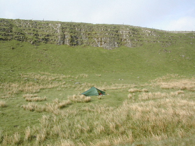
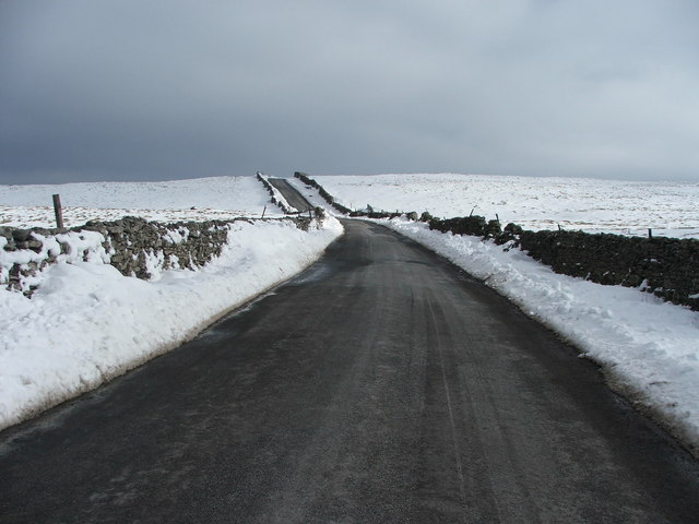
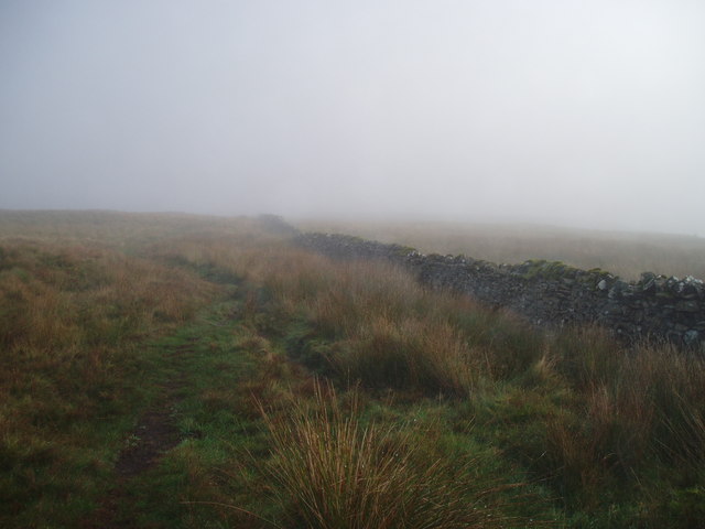
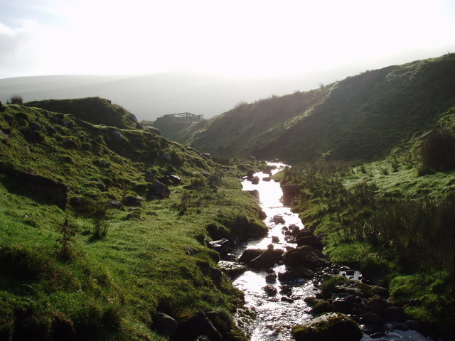
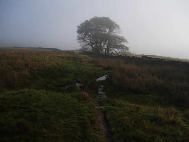
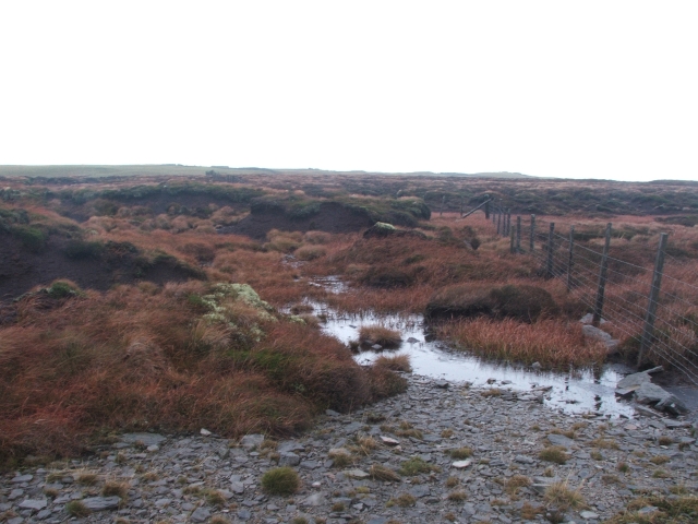
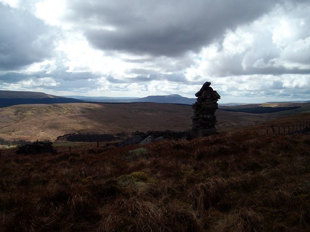
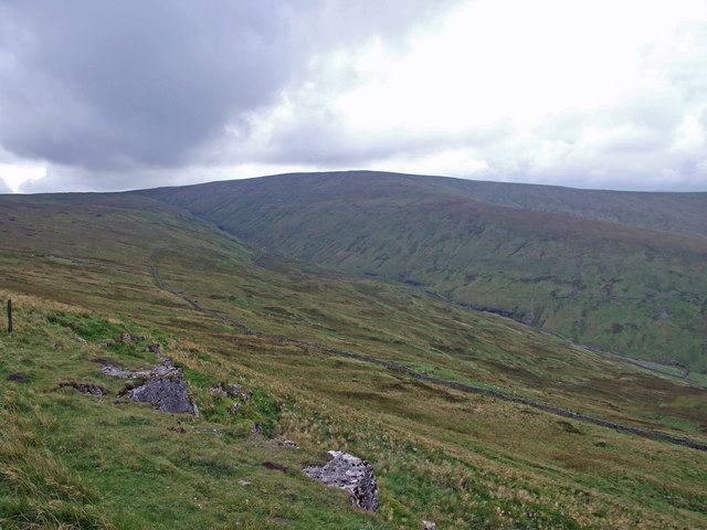
Bardale Head Plantation Images
Images are sourced within 2km of 54.256802/-2.2035349 or Grid Reference SD8684. Thanks to Geograph Open Source API. All images are credited.


Bardale Head Plantation is located at Grid Ref: SD8684 (Lat: 54.256802, Lng: -2.2035349)
Division: North Riding
Administrative County: North Yorkshire
District: Richmondshire
Police Authority: North Yorkshire
What 3 Words
///fine.geek.defended. Near Ingleton, North Yorkshire
Nearby Locations
Related Wikis
Fleet Moss
Fleet Moss is a upland area separating Wharfedale from Wensleydale in North Yorkshire, England. The area is 1,850 ft (560 m) above sea level (although...

Yorkshire Dales National Park
The Yorkshire Dales National Park is a 2,178 km2 (841 sq mi) national park in England covering most of the Yorkshire Dales, with the notable exception...

Wether Fell
Wether Fell (archaically Wetherfell), also known as Drumaldrace (the name of its summit), is a mountain in the Yorkshire Dales National Park, in North...
Dodd Fell Hill
Dodd Fell Hill is a hill in the Yorkshire Dales, in North Yorkshire, England. It is classed as a Marilyn (a hill with topographic prominence of at least...
Nearby Amenities
Located within 500m of 54.256802,-2.2035349Have you been to Bardale Head Plantation?
Leave your review of Bardale Head Plantation below (or comments, questions and feedback).