Birnie Brae
Downs, Moorland in Roxburghshire
Scotland
Birnie Brae
Birnie Brae is a picturesque area located in the county of Roxburghshire, Scotland. Situated amidst the stunning Downs and Moorland, this tranquil region offers breathtaking natural beauty and a peaceful escape from the hustle and bustle of city life.
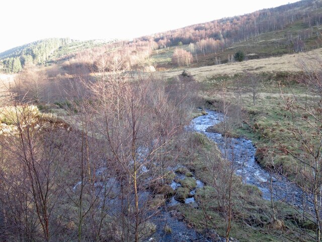
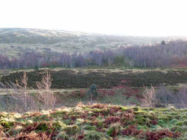
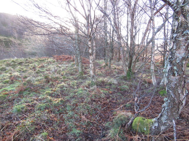
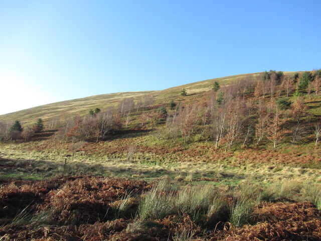
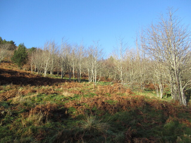
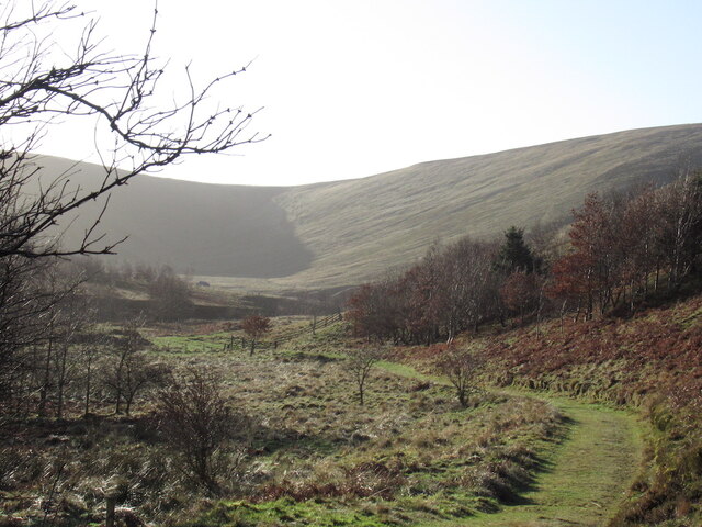
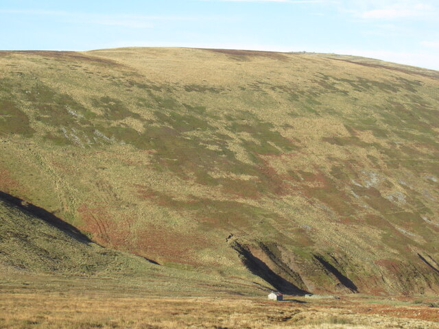
The landscape of Birnie Brae is characterized by rolling hills, heather-covered moorland, and vast expanses of open countryside. The area is known for its diverse flora and fauna, with an abundance of wildflowers, mosses, and grasses that create a vibrant and colorful tapestry throughout the seasons.
The Downs of Birnie Brae are marked by gently sloping hills and valleys, providing stunning panoramic views of the surrounding countryside. The moorland, on the other hand, is a more rugged and untamed area, with heather-clad hills and peat bogs that add to the wild and untamed charm of the region.
Hikers and nature enthusiasts flock to Birnie Brae to explore its vast network of walking trails and enjoy its natural beauty. The area is home to a variety of bird species, including grouse, peregrine falcons, and curlews, making it a haven for birdwatchers.
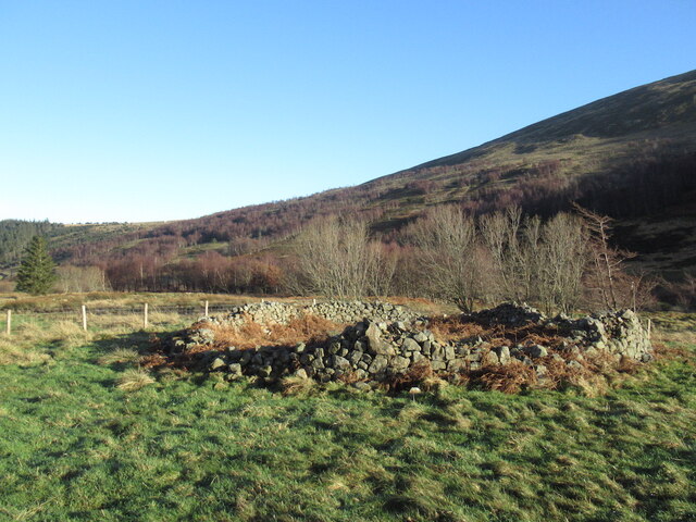
In addition to its natural attractions, Birnie Brae is also known for its rich history and cultural heritage. The area is dotted with ancient ruins, stone circles, and historical sites that provide a glimpse into the region's past.
Overall, Birnie Brae in Roxburghshire offers visitors a chance to immerse themselves in the beauty of nature, explore its diverse landscapes, and experience the rich history and culture of this enchanting Scottish region.
If you have any feedback on the listing, please let us know in the comments section below.
Birnie Brae Images
Images are sourced within 2km of 55.479569/-2.213278 or Grid Reference NT8620. Thanks to Geograph Open Source API. All images are credited.


Birnie Brae is located at Grid Ref: NT8620 (Lat: 55.479569, Lng: -2.213278)
Unitary Authority: The Scottish Borders
Police Authority: The Lothians and Scottish Borders
What 3 Words
///lasts.panic.spans. Near Kirknewton, Northumberland
Nearby Locations
Related Wikis

Cheviot Hills
The Cheviot Hills (), or sometimes The Cheviots, are a range of uplands straddling the Anglo-Scottish border between Northumberland and the Scottish Borders...

The Cheviot
The Cheviot () is an extinct volcano and the highest summit in the Cheviot Hills and in the county of Northumberland. Located in the extreme north of England...

Mowhaugh
Mowhaugh is a hamlet and farm steading near the Calroust Burn and the Bowmont Water, near Morebattle, in the Scottish Borders area of Scotland, and in...

Windy Gyle
Windy Gyle is a mountain in the Cheviot Hills range, on the border between England and Scotland. Like the other hills in the area, it is rounded and grass...

College Valley
The College Valley is one of five cuttings into the Cheviot Hills. The valley is owned by College Valley Estates which in turn is funded by a trust created...

Newton Tors
The Newton Tors are large, free-standing residual masses (rock outcrop) that form the western rim of the Great Moor which runs from the market town of...

Hedgehope Hill
Hedgehope Hill is a mountain in the Cheviot Hills of north Northumberland in northeast England, and categorised as a Hewitt. At a height of 714 metres...
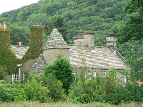
Hethpool House
Hethpool House is an Edwardian house in Hethpool, in the civil parish of Kirknewton, near Wooler, Northumberland, England which has Grade II listed building...
Nearby Amenities
Located within 500m of 55.479569,-2.213278Have you been to Birnie Brae?
Leave your review of Birnie Brae below (or comments, questions and feedback).