Hardington
Settlement in Somerset Mendip
England
Hardington
Hardington, Somerset is a picturesque village located in the county of Somerset, England. Situated approximately 5 miles southeast of Yeovil, it is nestled amidst the rolling landscapes of the South Somerset district. The village is home to a population of around 500 residents, predominantly living in charming stone cottages that exude traditional English countryside charm.
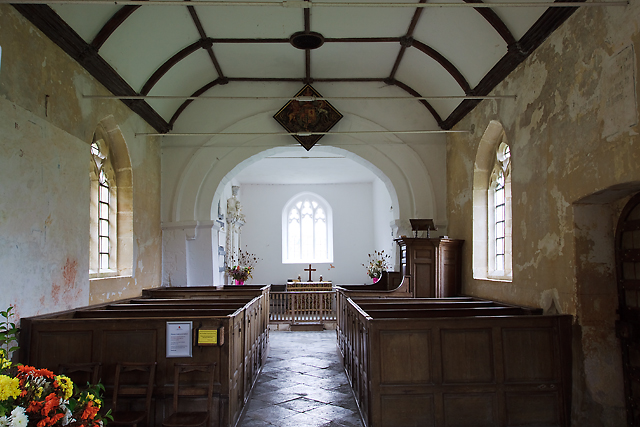
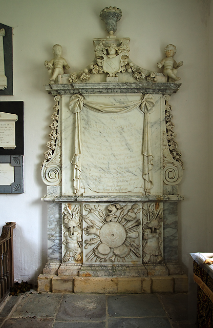
Hardington boasts a rich history, dating back to the Domesday Book of 1086. The village is known for its historic church, St Mary's, which dates back to the 15th century. This beautiful church is a prominent feature of the village and attracts visitors with its stunning architecture and serene atmosphere.
The village also benefits from a strong sense of community, with several local amenities available to residents. These include a village hall, a primary school, and a post office. The village pub, The Red Lion, serves as a popular gathering spot for locals, offering a warm and welcoming atmosphere.
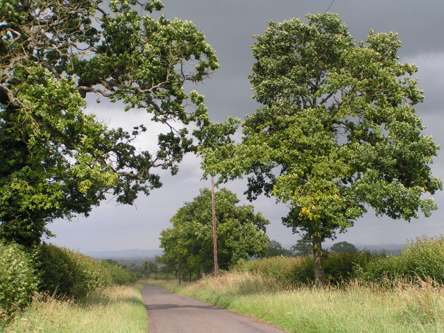
Surrounded by lush green fields and scenic countryside, Hardington provides ample opportunities for outdoor activities. The village is surrounded by footpaths and bridleways, making it an ideal location for walking, cycling, and horseback riding. Additionally, the nearby Ham Hill Country Park offers stunning views of the surrounding countryside and is a popular spot for picnics and nature enthusiasts.
In summary, Hardington, Somerset is a quintessential English village that captures the essence of rural life. With its rich history, beautiful architecture, and strong sense of community, it is a place that provides a tranquil and idyllic setting for residents and visitors alike.
If you have any feedback on the listing, please let us know in the comments section below.
Hardington Images
Images are sourced within 2km of 51.271737/-2.368091 or Grid Reference ST7452. Thanks to Geograph Open Source API. All images are credited.


Hardington is located at Grid Ref: ST7452 (Lat: 51.271737, Lng: -2.368091)
Administrative County: Somerset
District: Mendip
Police Authority: Avon and Somerset
What 3 Words
///unloaded.dusty.lamp. Near Wellow, Somerset
Nearby Locations
Related Wikis

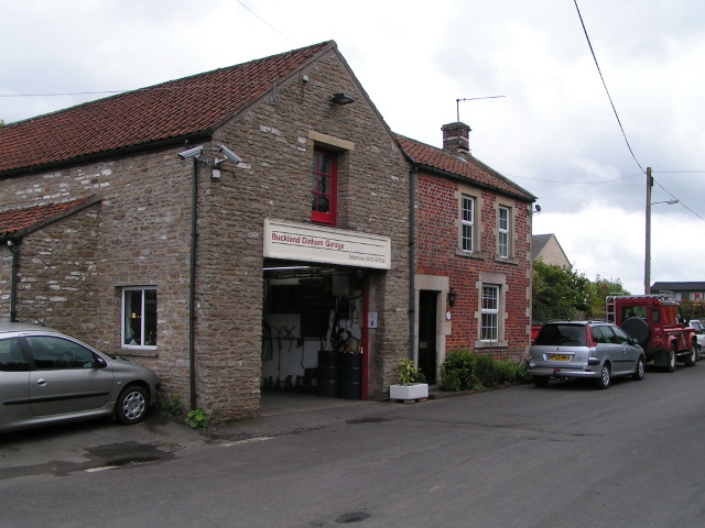
Buckland Dinham
Buckland Dinham is a small village near Frome in Somerset, England. The village has a population of 381. The village's main industry is farming (arable...

Hemington, Somerset
Hemington is a village and civil parish 5.5 miles (8.9 km) north west of Frome, in the Mendip district of Somerset, England. It is located just off the...
St Mary's Church, Hemington
St. Mary's Hemington is an Anglican church in Hemington, Somerset, England. The Norman church underwent major renovation in the 14th, 15th, 17th and 19th...

Kingsdown Camp
Kingsdown Camp is an Iron Age hillfort at Buckland Dinham 4.5 kilometres (3 mi) South East of Radstock, Somerset, England. It is a Scheduled Monument.It...
Mells Road railway station
Mells Road railway station served the village of Mells, Somerset, England from 1875 to 1959 linking Radstock to Frome, Somerset on the Heart of Wessex...

Murtry Aqueduct
Murtry Aqueduct is a three-arched aqueduct that was intended to carry the Dorset and Somerset Canal over the Mells River, near Frome in Somerset, England...

Ammerdown House, Kilmersdon
Ammerdown House in Kilmersdon, Somerset, England, was built in 1788. It has been designated as Grade I listed building.It was built as a country house...

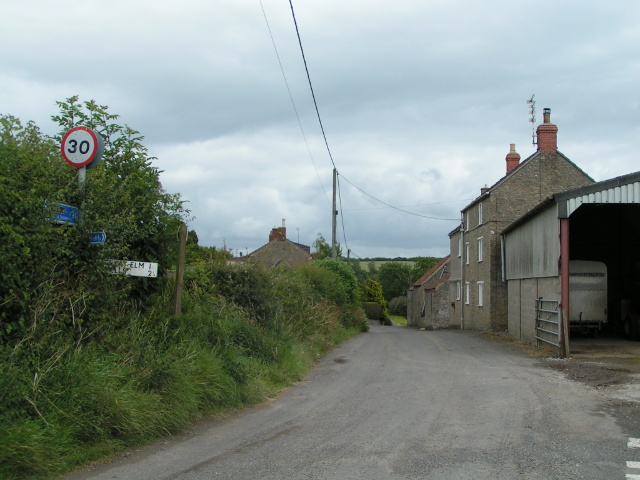
Great Elm
Great Elm is a village and civil parish between Mells and Frome in the Mendip district of Somerset, England. The parish includes the hamlet of Hapsford...
Related Videos
![Dog walking in the rain on the TWS [4K]](https://i.ytimg.com/vi/DYLibvnzEUM/hqdefault.jpg)
Dog walking in the rain on the TWS [4K]
Out with the dogs around East Midlands Airport in the rain on my Tramper TWS. Lots of mud!


St Mary the Virgin, Hemington.
An impromptu visit to the church of Saint Mary the Virgin in Hemington, Somerset yesterday after a job I was working on in the ...
Nearby Amenities
Located within 500m of 51.271737,-2.368091Have you been to Hardington?
Leave your review of Hardington below (or comments, questions and feedback).