Haggerstone Moss
Downs, Moorland in Northumberland
England
Haggerstone Moss
Haggerstone Moss is a vast expanse of moorland located in the county of Northumberland, England. Spanning across an area of approximately 1,200 acres, it is a quintessential representation of the region's natural beauty. The moss is situated in close proximity to the small village of Haggerstone, nestled within the picturesque landscape of Northumberland.
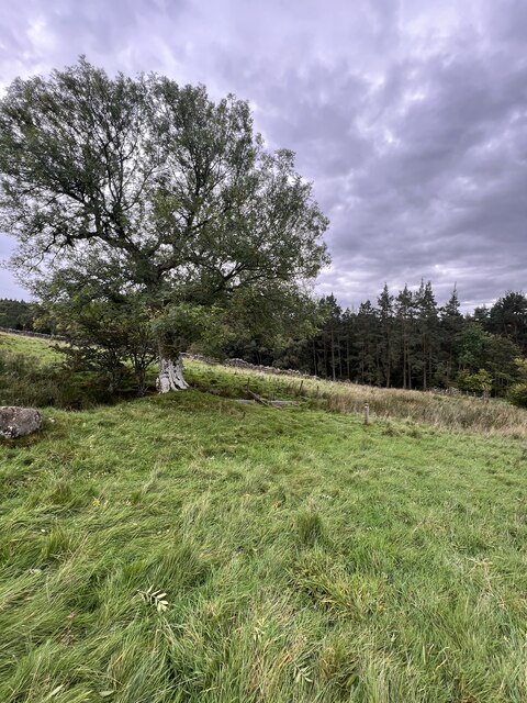
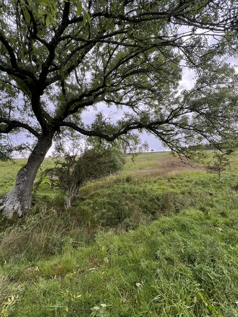
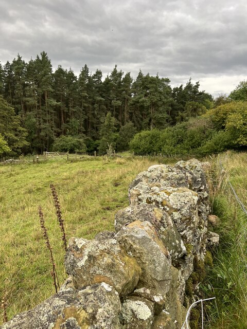
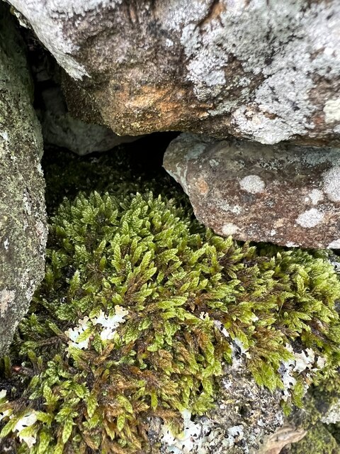
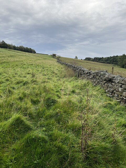
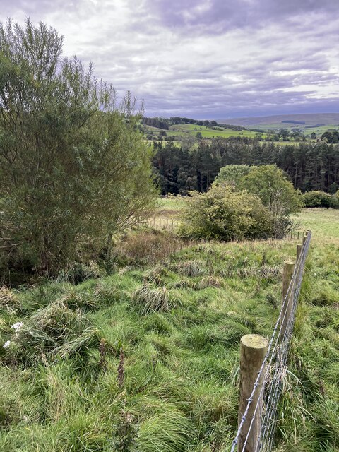
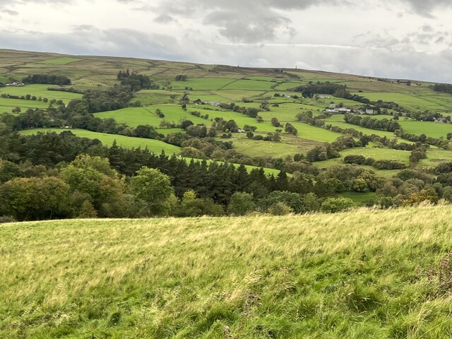
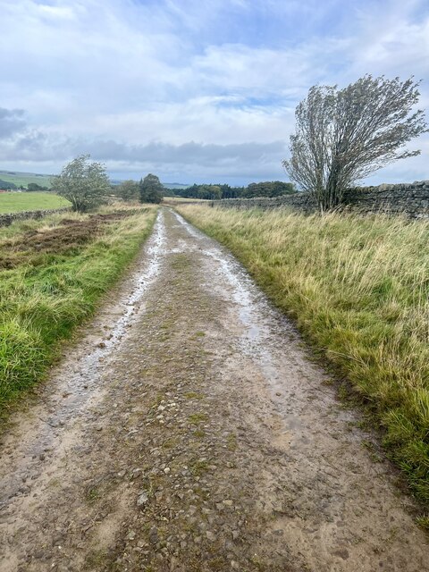
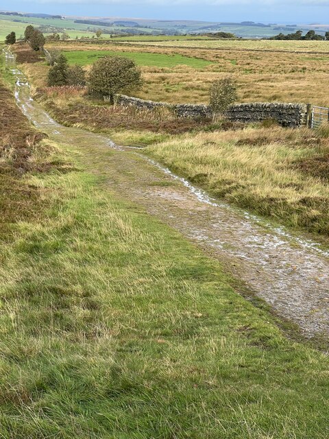
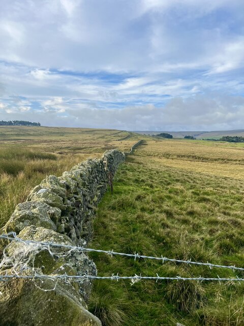
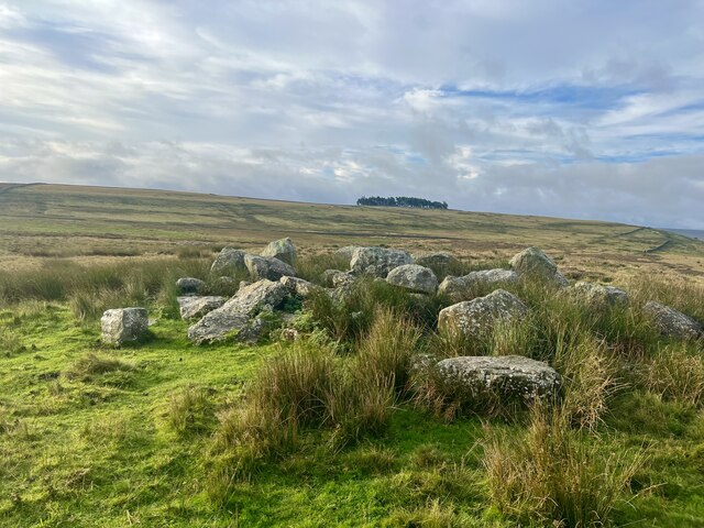
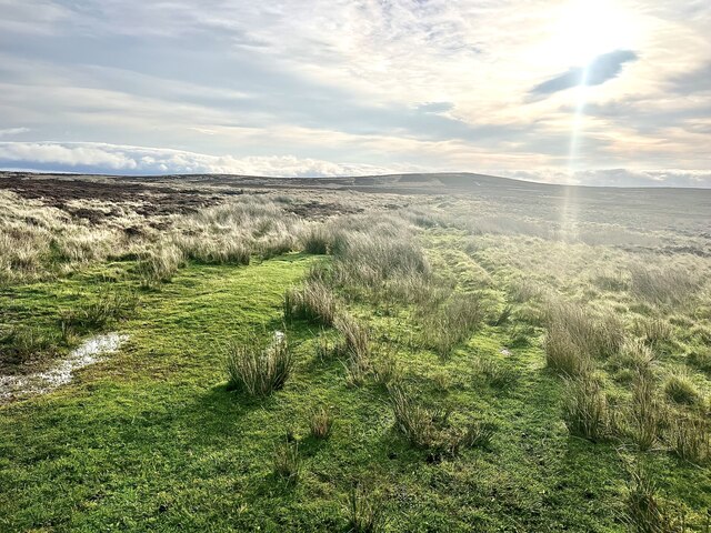
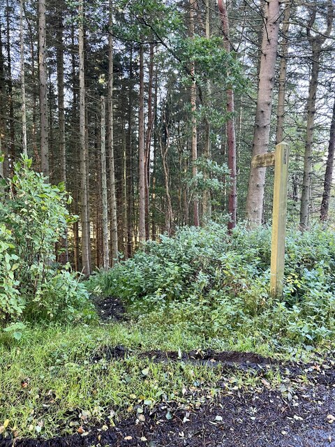
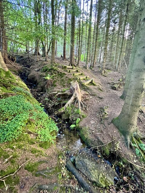
The moss is characterized by its undulating hills, gentle slopes, and heather-covered moorlands, creating an awe-inspiring sight for visitors and locals alike. The terrain is predominantly made up of peat, which contributes to the unique ecosystem found within the area. This diverse ecosystem is home to an array of wildlife, including birds such as curlews, lapwings, and skylarks, as well as various species of insects and small mammals.
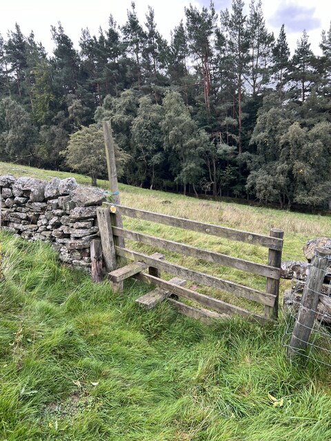
The moss is intersected by a network of footpaths and trails, providing ample opportunities for outdoor activities and exploration. Visitors can embark on leisurely walks, taking in the stunning views and immersing themselves in the tranquility of the surroundings. The moss is also a popular spot for birdwatching enthusiasts, who flock to the area to observe the diverse avian population.
Haggerstone Moss is a cherished natural treasure in Northumberland, offering a serene and captivating experience for those seeking a connection with nature. Its untouched beauty and abundant wildlife make it a must-visit destination for anyone exploring the region.
If you have any feedback on the listing, please let us know in the comments section below.
Haggerstone Moss Images
Images are sourced within 2km of 54.881544/-2.2255191 or Grid Reference NY8554. Thanks to Geograph Open Source API. All images are credited.
Haggerstone Moss is located at Grid Ref: NY8554 (Lat: 54.881544, Lng: -2.2255191)
Unitary Authority: Northumberland
Police Authority: Northumbria
What 3 Words
///passenger.houseboat.baguette. Near Haydon Bridge, Northumberland
Nearby Locations
Related Wikis
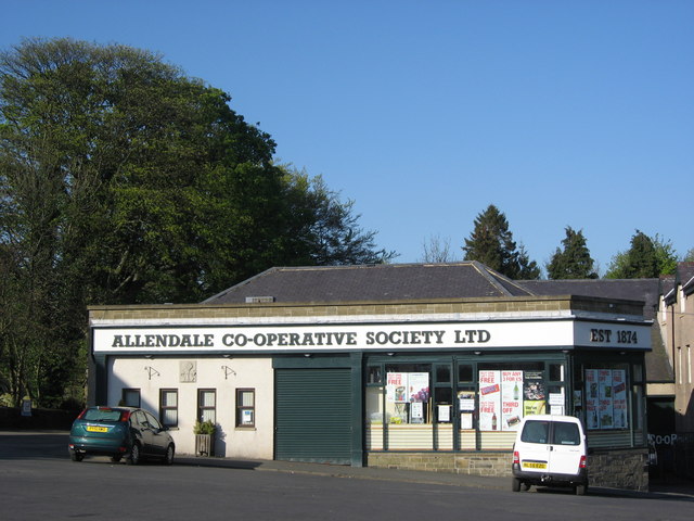
Allendale Co-operative Society
Allendale Co-operative Society is a small consumer co-operative in the village of Allendale, Northumberland, England. Founded in 1874 as the Allendale...

Allendale, Northumberland
Allendale, often marked on maps as Allendale Town, is a village and civil parish in south west Northumberland, England. It is located within the North...

Museum of Classic Sci-Fi
The Museum of Classic Sci-Fi is in Allendale, Northumberland in England. The museum opened in 2018 and houses a collection of more than 200 props, costumes...

Sinderhope
Sinderhope is a hamlet situated on the east Allen Valley in south-west Northumberland. The population is spread over farms in an area approximately 25...

Acton, Northumberland
Acton is a small hamlet in Northumberland, north-east England, about 3 miles (5 km) south of Allendale Town. Acton is usually Anglo-Saxon Old English...

Allendale railway station
Allendale railway station was the terminus of the single track branch of the Hexham and Allendale Railway, in north east England. The line connected villages...
Catton, Northumberland
Catton is a village in Northumberland, England. It is about 7 miles (11 km) to the southwest of Hexham and is located on the outskirts of Allendale �...

Hexhamshire Moors
Hexhamshire Moors is a Site of Special Scientific Interest covering an extensive area of moorland in the Wear Valley district of north-west County Durham...
Nearby Amenities
Located within 500m of 54.881544,-2.2255191Have you been to Haggerstone Moss?
Leave your review of Haggerstone Moss below (or comments, questions and feedback).