Burtree Fell
Downs, Moorland in Durham
England
Burtree Fell
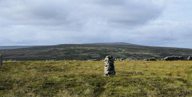
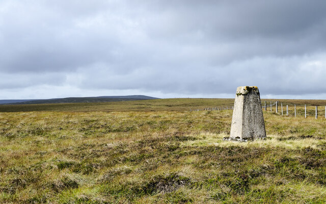
Burtree Fell is a picturesque area located in County Durham, England. It is known for its stunning natural beauty, featuring rolling hills, vast moorland, and breathtaking views. Situated in the northern part of the county, Burtree Fell is part of the larger North Pennines Area of Outstanding Natural Beauty.
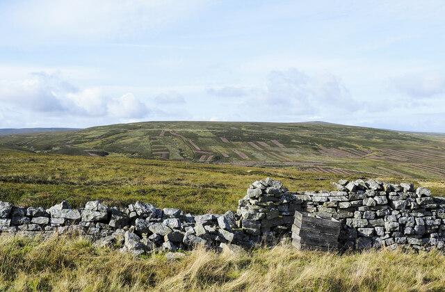
Covering an area of approximately 10 square kilometers, Burtree Fell is characterized by its rugged terrain and wide open spaces. The landscape is dominated by heather-covered hills, rocky outcrops, and expansive peat bogs. The fell is home to a variety of wildlife, including birds such as curlews and lapwings, as well as mammals like hares and stoats.
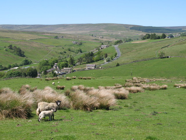
The area is a popular destination for outdoor enthusiasts, offering numerous opportunities for walking, hiking, and birdwatching. There are several well-maintained footpaths and trails that crisscross the fell, allowing visitors to explore its diverse habitats and enjoy the stunning vistas. On a clear day, it is possible to see as far as the North Sea coast from some of the higher points.
Burtree Fell is also known for its rich cultural heritage. The remains of old lead mines and stone quarries can still be seen in the area, providing a glimpse into the region's industrial past. Additionally, there are several ancient archaeological sites, including burial mounds and stone circles, which add to the historical significance of the fell.
Overall, Burtree Fell offers a unique and captivating experience for nature lovers and history enthusiasts alike, with its unspoiled landscapes, abundant wildlife, and fascinating heritage.
If you have any feedback on the listing, please let us know in the comments section below.
Burtree Fell Images
Images are sourced within 2km of 54.777113/-2.2254035 or Grid Reference NY8542. Thanks to Geograph Open Source API. All images are credited.


Burtree Fell is located at Grid Ref: NY8542 (Lat: 54.777113, Lng: -2.2254035)
Unitary Authority: County Durham
Police Authority: Durham
What 3 Words
///captions.fence.clicker. Near Stanhope, Co. Durham
Nearby Locations
Related Wikis

Lanehead
Lanehead is a hamlet in the civil parish of Stanhope, in County Durham, England. It lies at the head of Weardale, approximately 2 km west of Cowshill....

Cornriggs Meadows
Cornriggs Meadows is a Site of Special Scientific Interest in Upper Weardale in north-west County Durham, England. It consists of a group of fields, located...
Cornriggs
Cornriggs is a hamlet in the civil parish of Stanhope, in County Durham, England. It is situated on the north side of Weardale in the North Pennines,...

Cowshill
Cowshill is a village in the civil parish of Stanhope, in County Durham, England. It is situated at the top of Weardale, between Lanehead and Wearhead...
Copthill
Copthill is a village in the civil parish of Stanhope, in County Durham, England. It is situated on the north side of Weardale, between Cowshill and Cornriggs...

Wearhead
Wearhead is a village in the civil parish of Stanhope, in County Durham, England. It is situated at the top of Weardale between Cowshill and Ireshopeburn...
Killhope
Killhope is a small settlement at the very highest end of Weardale in the civil parish of Stanhope, in County Durham, England. Killhope Pass, the road...

Allenheads
Allenheads is a former mining village in the Pennines to the north of Weardale in Northumberland, England. Lead extraction was the settlement's industry...
Nearby Amenities
Located within 500m of 54.777113,-2.2254035Have you been to Burtree Fell?
Leave your review of Burtree Fell below (or comments, questions and feedback).