Church Eaton Common

Downs, Moorland in Staffordshire Stafford

England

Church Eaton Common

Church of St Edith Benchmark The OS Cut Benchmark within the tower of the Church of St Edith, Church Eaton, Staffordshire. It was last levelled by the OS in 1961. What3Words = responded.sprinkle.tidy
Church of St Edith Benchmark Credit: Anthony Rowley

Church Eaton Common is a picturesque area located in Staffordshire, England. It is situated within the parish of Church Eaton, near the village of Gnosall. The common is a designated Site of Special Scientific Interest (SSSI) due to its diverse and unique ecosystem.

Covering an approximate area of 200 hectares, Church Eaton Common is characterized by its varied landscape, consisting of downs and moorland. The downs are gently rolling hills covered in grass and scattered with small patches of woodland, while the moorland is characterized by its heather and gorse vegetation. The common is predominantly composed of acidic soils, which provide a suitable habitat for a range of plant species.

The flora and fauna found on Church Eaton Common are diverse and abundant. The downs are home to several grass species, such as sheep’s fescue and red fescue, along with a variety of wildflowers, including harebell, heath bedstraw, and devil’s-bit scabious. The moorland is an important habitat for many bird species, including the skylark and meadow pipit, as well as reptiles like adders and common lizards.

Visitors to Church Eaton Common can enjoy the natural beauty of the landscape through various walking trails that meander through the area. The common offers stunning views of the surrounding countryside and is a popular spot for nature enthusiasts, birdwatchers, and photographers.

Overall, Church Eaton Common is a unique and ecologically important area, providing a haven for a diverse range of plant and animal species. Its natural beauty and tranquil atmosphere make it a delightful destination for outdoor activities and a valuable resource for conservation efforts.

If you have any feedback on the listing, please let us know in the comments section below.

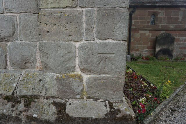
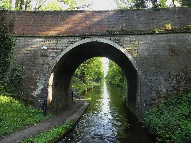
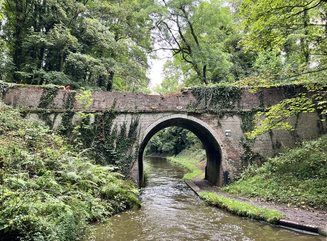
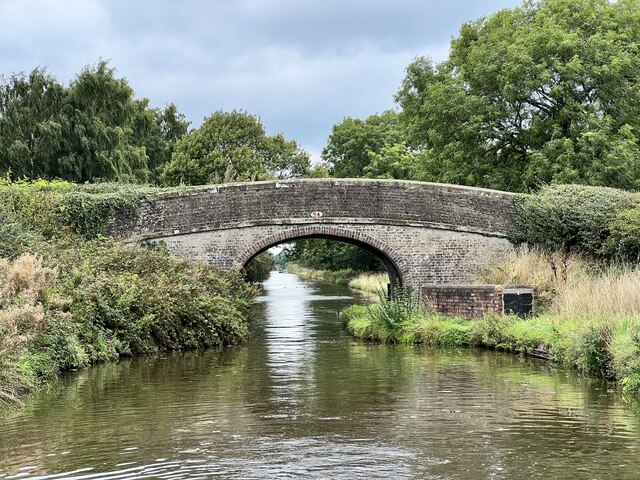
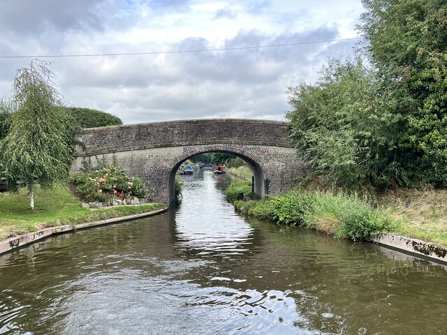
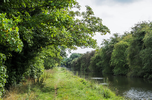
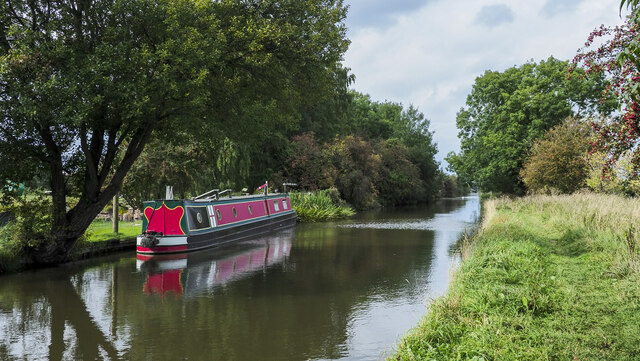
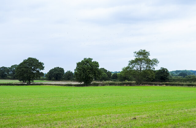
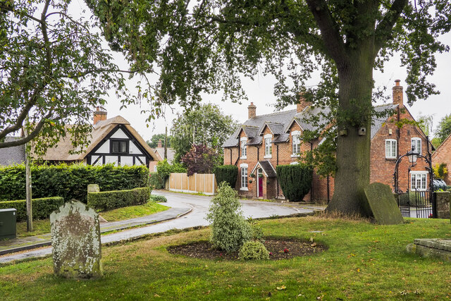
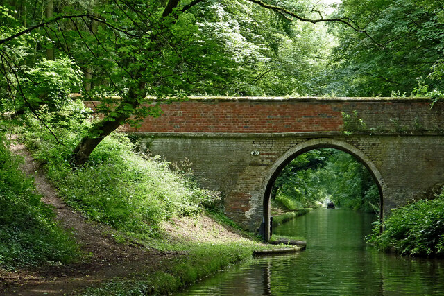
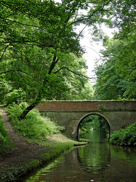
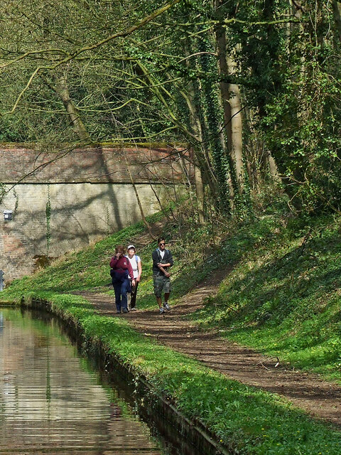
Church Eaton Common Images

Images are sourced within 2km of 52.751866/-2.2167246 or Grid Reference SJ8517. Thanks to Geograph Open Source API. All images are credited.

Church of St Edith Benchmark The OS Cut Benchmark within the tower of the Church of St Edith, Church Eaton, Staffordshire. It was last levelled by the OS in 1961. What3Words = responded.sprinkle.tidy
Church of St Edith Benchmark
The OS Cut Benchmark within the tower of the Church of St Edith, Church Eaton, Staffordshire. It was last levelled by the OS in 1961. What3Words = responded.sprinkle.tidy
Shropshire Union Canal - Ryehill Cutting Bridge (No.23) This is bridge number 23 on the Shropshire Union Canal and is known as Ryehill Cutting Bridge. This is the view southwards through it.
The bridge is EH Grade II listed: <span class="nowrap"><a title="https://historicengland.org.uk/listing/the-list/list-entry/1243055?section=official-list-entry" rel="nofollow ugc noopener" href="https://historicengland.org.uk/listing/the-list/list-entry/1243055?section=official-list-entry">Link</a><img style="margin-left:2px;" alt="External link" title="External link - shift click to open in new window" src="https://s1.geograph.org.uk/img/external.png" width="10" height="10"/></span>
Shropshire Union Canal - Ryehill Cutting Bridge (No.23)
This is bridge number 23 on the Shropshire Union Canal and is known as Ryehill Cutting Bridge. This is the view southwards through it. The bridge is EH Grade II listed: LinkExternal link
Ryehill Cutting Bridge Grade II listed. Listing number 1243055. Accommodation bridge. c1830-33. Telford design. Brick, with stone band and copings. Single elliptical arch, solid parapet and piers. 2 iron rope fenders. Brick towpath coping.
Ryehill Cutting Bridge
Grade II listed. Listing number 1243055. Accommodation bridge. c1830-33. Telford design. Brick, with stone band and copings. Single elliptical arch, solid parapet and piers. 2 iron rope fenders. Brick towpath coping.
Little Onn Bridge Grade II listed. Listing number 1273078. Accommodation bridge. c1830-33. Telford design. Brick, with stone band and brick and stone copings. Single elliptical arch. Slightly cambered solid parapet and piers. Oval iron number- plate on south side. 2 iron rope fenders. Stone and brick towpath coping.
Little Onn Bridge
Grade II listed. Listing number 1273078. Accommodation bridge. c1830-33. Telford design. Brick, with stone band and brick and stone copings. Single elliptical arch. Slightly cambered solid parapet and piers. Oval iron number- plate on south side. 2 iron rope fenders. Stone and brick towpath coping.
High Onn Bridge Grade II listed. Listing number 1258847. Road bridge over canal. c1830-33. Telford design. Brick, with stone band and copings. Single elliptical arch. Slightly cambered, solid parapet and piers. 2 iron rope fenders.
High Onn Bridge
Grade II listed. Listing number 1258847. Road bridge over canal. c1830-33. Telford design. Brick, with stone band and copings. Single elliptical arch. Slightly cambered, solid parapet and piers. 2 iron rope fenders.
Shropshire Union Canal heading south-east towards Little Onn Bridge The straight stretch of canal between bridges 25 and 24; 24 is Little Onn Bridge the arch of which can just be detected in the image.
Shropshire Union Canal heading south-east towards Little Onn Bridge
The straight stretch of canal between bridges 25 and 24; 24 is Little Onn Bridge the arch of which can just be detected in the image.
Shropshire Union Canal passing Red House Farm The narrowboat is moored close to Red House Farm at Little Onn.
Shropshire Union Canal passing Red House Farm
The narrowboat is moored close to Red House Farm at Little Onn.
Trees on hedge line across field A field with an emerging crop bounded by a hedge in which a number of trees have outgrown others along its line, either by intention or by having missed trimming in the past.
Trees on hedge line across field
A field with an emerging crop bounded by a hedge in which a number of trees have outgrown others along its line, either by intention or by having missed trimming in the past.
Road bend in Church Eaton A bend on the High Street of the small village of Church Eaton. The view is from the graveyard of St. Editha's Church.
Road bend in Church Eaton
A bend on the High Street of the small village of Church Eaton. The view is from the graveyard of St. Editha's Church.
Rye Hill Cutting Bridge north of Wheaton Aston, Staffordshire Looking south-south-east towards Wheaton Aston, this is Bridge No 23 across the Shropshire Union Canal. It carries a bridleway.
Rye Hill Cutting Bridge north of Wheaton Aston, Staffordshire
Looking south-south-east towards Wheaton Aston, this is Bridge No 23 across the Shropshire Union Canal. It carries a bridleway.
Shropshire Union Canal near Little Onn in Staffordshire Looking south through the arch of Rye Hill Cutting Bridge, No 23. The bridge carries a bridleway.
Shropshire Union Canal near Little Onn in Staffordshire
Looking south through the arch of Rye Hill Cutting Bridge, No 23. The bridge carries a bridleway.
Canal in Ryehill Cutting near Little Onn, Staffordshire Looking south-south-east towards Wheaton Aston. Rye Hill Cutting Bridge, No 23, is behind the camera.
Keep careful watch as you navigate this tree enshrouded length of water. The woodland on the right must be called Goblinhole for a reason.

;-)
Canal in Ryehill Cutting near Little Onn, Staffordshire
Looking south-south-east towards Wheaton Aston. Rye Hill Cutting Bridge, No 23, is behind the camera. Keep careful watch as you navigate this tree enshrouded length of water. The woodland on the right must be called Goblinhole for a reason. ;-)
Little Onn Bridge near Church Eaton, Staffordshire Looking north-west, Little Onn Bridge is No 24 across the Shropshire Union Canal south-west of Church Eaton.
Little Onn Bridge near Church Eaton, Staffordshire
Looking north-west, Little Onn Bridge is No 24 across the Shropshire Union Canal south-west of Church Eaton.
Strolling along the towpath in Staffordshire This is by the Shropshire Union Canal at Little Onn Bridge, No 24, south of Church Eaton. The towpath is a designated traffic free cycle route.
Strolling along the towpath in Staffordshire
This is by the Shropshire Union Canal at Little Onn Bridge, No 24, south of Church Eaton. The towpath is a designated traffic free cycle route.
Staffordshire farmland south of Church Eaton A telephoto assisted image, looking north-west from the Shropshire Union Canal. Red House Farm is about three hundred metres away.
Staffordshire farmland south of Church Eaton
A telephoto assisted image, looking north-west from the Shropshire Union Canal. Red House Farm is about three hundred metres away.
Canal at Little Onn in Staffordshire This shows the Shropshire Union Canal, looking north-west towards Market Drayton. Little Onn Bridge is No 24, and carries Little Onn Road. The towpath is a designated traffic free cycle route.
Canal at Little Onn in Staffordshire
This shows the Shropshire Union Canal, looking north-west towards Market Drayton. Little Onn Bridge is No 24, and carries Little Onn Road. The towpath is a designated traffic free cycle route.
Red House Farm at Little Onn in Staffordshire Seen from the canal near Little Onn Bridge, No 24.
Red House Farm at Little Onn in Staffordshire
Seen from the canal near Little Onn Bridge, No 24.
Show me another place!

Church Eaton Common is located at Grid Ref: SJ8517 (Lat: 52.751866, Lng: -2.2167246)

Administrative County: Staffordshire

District: Stafford

Police Authority: Staffordshire

What 3 Words

///botanists.ends.handsets. Near Gnosall, Staffordshire

Related Wikis

Church Eaton

Church Eaton is a village and civil parish in Staffordshire some 6 miles (10 km) southwest of Stafford, 6 miles (10 km) northwest of Penkridge and 4 miles...

Allimore Green

Allimore Green is a small hamlet in Staffordshire, England, 1 mile north-east of Church Eaton. It is the location of a Site of Special Scientific Interest...

Apeton

Apeton is a hamlet in Staffordshire in the West Midlands region of England. It is located 5+1⁄2 miles (8.9 km) southwest of Stafford, in the civil parish...

Little Onn

Little Onn is a hamlet in Staffordshire, England located in open countryside 1 mile (2 km) north of Wheaton Aston. It is the location of the former Second...

Have you been to Church Eaton Common?

Leave your review of Church Eaton Common below (or comments, questions and feedback).