Bent Hill Rough
Downs, Moorland in Lancashire Burnley
England
Bent Hill Rough

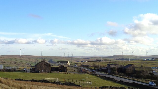
Bent Hill Rough is a scenic area located in Lancashire, England, known for its breathtaking Downs and Moorland landscapes. Situated in the northern part of the county, the region is characterized by rolling hills, expansive moors, and stunning vistas.
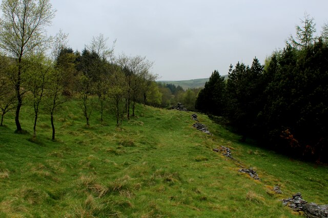
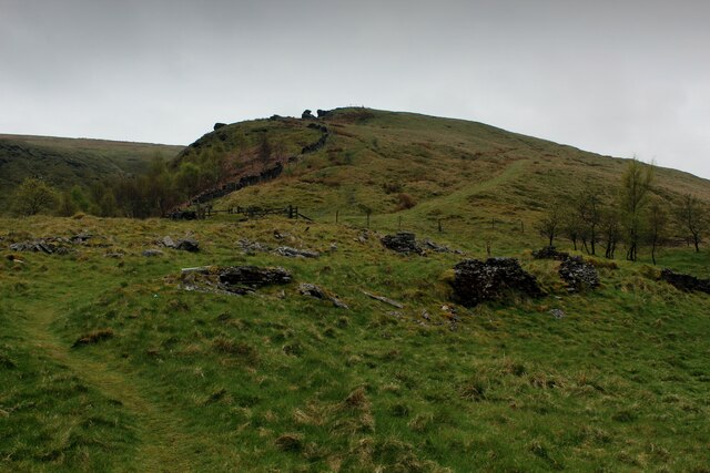
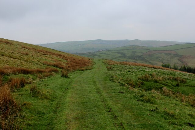
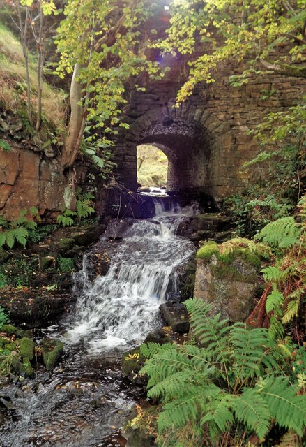
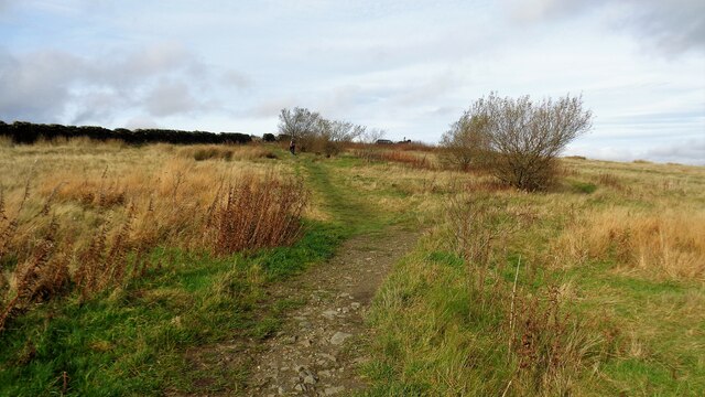
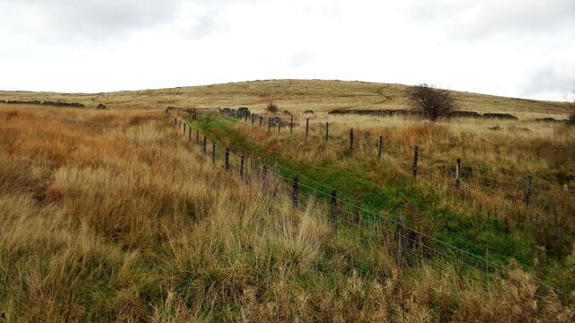
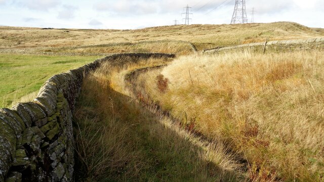
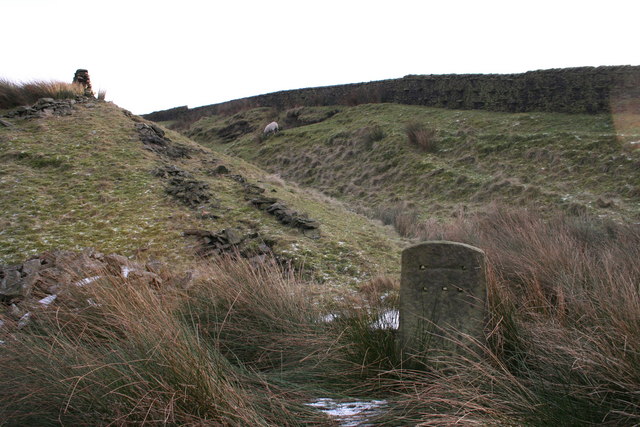
The Downs of Bent Hill Rough offer visitors a unique experience, with their undulating slopes covered in lush grasses and wildflowers. The area provides excellent opportunities for hiking, walking, and nature exploration. The footpaths that traverse the Downs are well-maintained, allowing visitors to easily navigate the area and admire the panoramic views of the surrounding countryside.
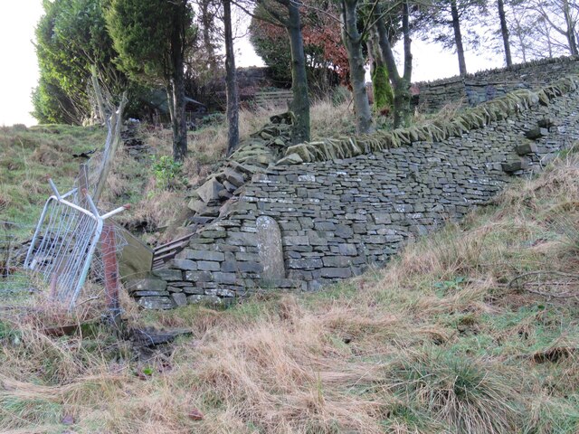
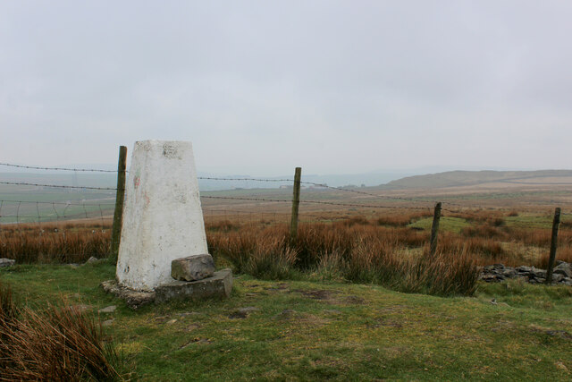
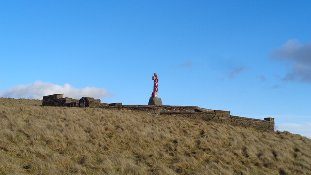
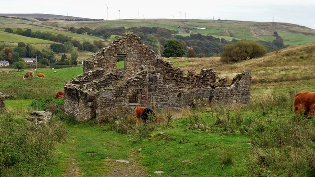
In addition to the Downs, Bent Hill Rough is also home to vast stretches of Moorland. This rugged and wild terrain is marked by heather-covered hillsides and peat bogs, creating a stark and dramatic landscape. Moorland enthusiasts can revel in the vast solitude and tranquility that this area offers, while birdwatchers will be thrilled to spot rare species such as the merlin or the golden plover.
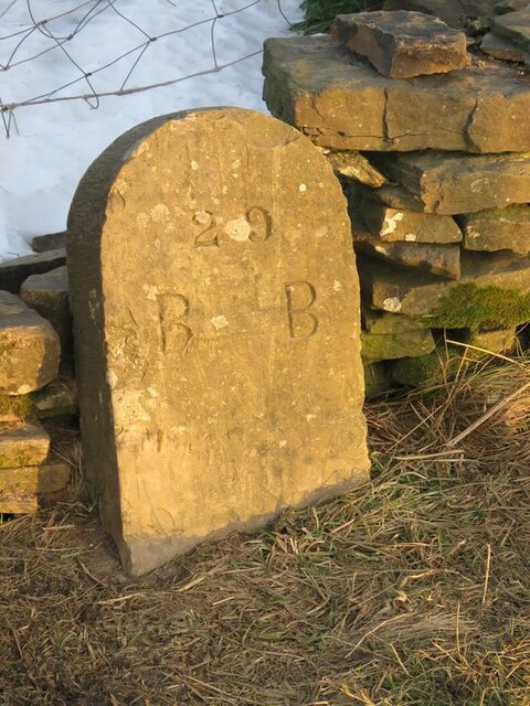
The area boasts a rich history, with ancient burial mounds and stone circles scattered throughout the landscape. These archaeological sites provide a glimpse into the region's past and offer visitors a chance to step back in time.
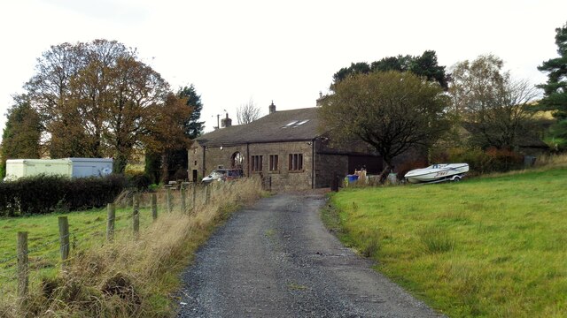
Bent Hill Rough is easily accessible, with several well-connected roads leading to the area. Local amenities, including parking and picnic areas, cater to the needs of visitors, ensuring a comfortable and enjoyable experience.
Overall, Bent Hill Rough in Lancashire is a haven for nature enthusiasts, history buffs, and those seeking a peaceful retreat amidst stunning natural beauty.
If you have any feedback on the listing, please let us know in the comments section below.
Bent Hill Rough Images
Images are sourced within 2km of 53.740668/-2.2227554 or Grid Reference SD8527. Thanks to Geograph Open Source API. All images are credited.

Bent Hill Rough is located at Grid Ref: SD8527 (Lat: 53.740668, Lng: -2.2227554)
Administrative County: Lancashire
District: Burnley
Police Authority: Lancashire
What 3 Words
///nametag.drill.explained. Near Bacup, Lancashire
Nearby Locations
Related Wikis

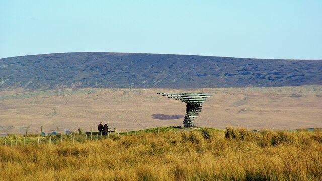
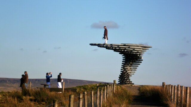
Singing Ringing Tree (sculpture)
The Singing Ringing Tree is a wind powered sound sculpture resembling a tree set in the landscape of the Pennine hill range overlooking Burnley, in Lancashire...

Water, Lancashire
Water is a hamlet in the borough of Rossendale, in Lancashire, England. Located north of the village of Lumb. It is mostly made of a few homes, farms,...

Holme railway station (Lancashire)
Holme railway station served Holme Chapel on the Copy Pit line. The station closed in July 1930 and the line now serves as a non-stop route between Hebden...
Gambleside
Gambleside is an abandoned village located in northern Rossendale close to the boundary with Burnley's Dunnockshaw parish. In the late Middle Ages Gambleside...

Weir, Lancashire
Weir is a village to the north of Bacup in the Rossendale borough of Lancashire, England, and immediately south of the boundary with the Borough of Burnley...

Church of St John the Divine, Holme Chapel
The Church of St John the Divine is in Burnley Road, Holme Chapel, a village in the civil parish of Cliviger, near Burnley, Lancashire, England. It is...

Holme Hall, Cliviger
Holme Hall (or The Holme) is a Grade II* listed manor house in Cliviger near Burnley, in Lancashire, England. The house dates back to at least the 15th...

Lumb, Rawtenstall
Lumb is a small village in the Rossendale district of Lancashire, England. It lies in the valley of the Whitewell Brook, 3 miles (5 km) north east of Rawtenstall...
Nearby Amenities
Located within 500m of 53.740668,-2.2227554Have you been to Bent Hill Rough?
Leave your review of Bent Hill Rough below (or comments, questions and feedback).