Bull Ride
Downs, Moorland in Staffordshire South Staffordshire
England
Bull Ride
Bull Ride, Staffordshire, located in the heart of England, is a picturesque region encompassing both Downs and Moorland landscapes. Spanning across approximately 500 square miles, this area offers a diverse and captivating natural environment.
The Downs of Bull Ride are characterized by rolling hills, lush meadows, and scenic valleys. It is home to a variety of flora and fauna, including wildflowers, grazing livestock, and a range of bird species. The landscape provides ample opportunities for outdoor activities such as hiking, cycling, and horseback riding, with numerous trails crisscrossing the area. Visitors can enjoy breathtaking panoramic views from the hilltops, offering a sense of tranquility and escape from the hustle and bustle of everyday life.
On the other hand, the Moorland of Bull Ride offers a more rugged and untamed experience. This vast expanse of open land is dominated by heather-covered hills, rugged rock formations, and expansive peat bogs. It provides a habitat for unique plant species, including sphagnum moss and cotton grass, which thrive in the acidic soil. Moorland is also a sanctuary for several bird species, such as curlews, grouse, and peregrine falcons, making it a popular destination for birdwatchers.
In addition to its natural beauty, Bull Ride is home to a number of quaint villages and towns, offering visitors a glimpse into the region's rich heritage and culture. Charming pubs, historic buildings, and local festivals provide opportunities for cultural immersion and interaction with the friendly locals.
Overall, Bull Ride, Staffordshire, with its harmonious blend of Downs and Moorland landscapes, offers a captivating and diverse experience for nature enthusiasts, adventure seekers, and those seeking a peaceful retreat amidst stunning surroundings.
If you have any feedback on the listing, please let us know in the comments section below.
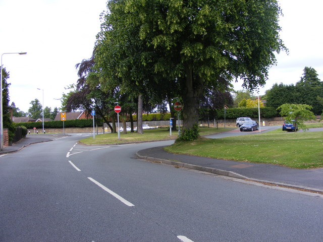
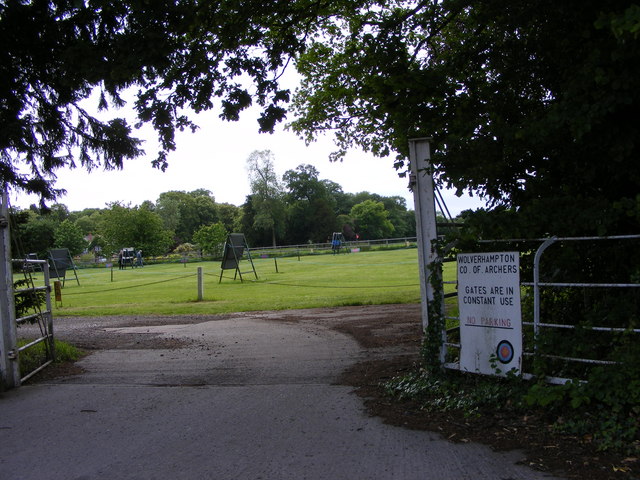
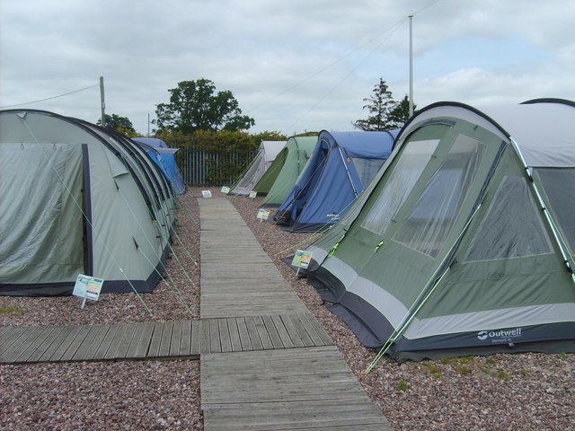
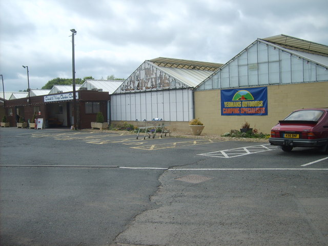
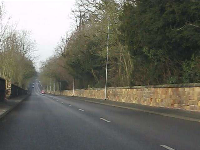
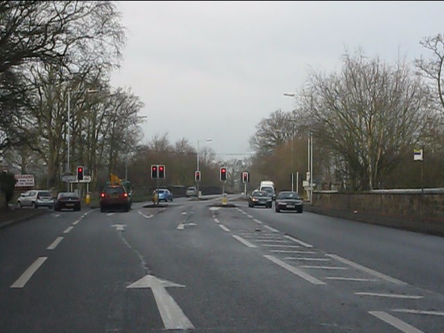
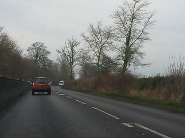
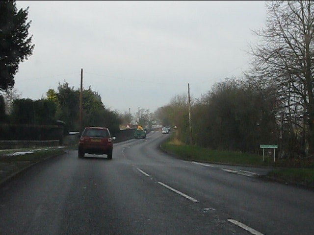
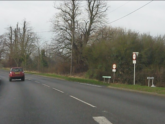
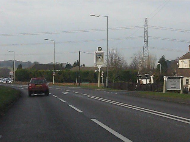
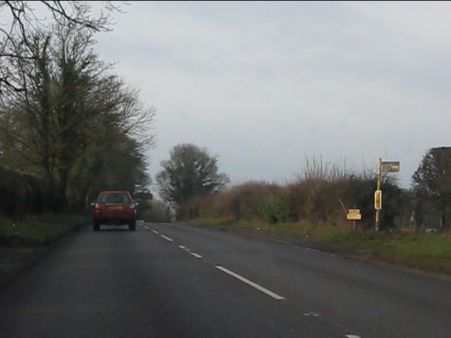
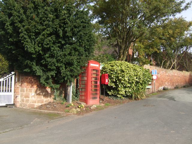
Bull Ride Images
Images are sourced within 2km of 52.615544/-2.2178814 or Grid Reference SJ8501. Thanks to Geograph Open Source API. All images are credited.


Bull Ride is located at Grid Ref: SJ8501 (Lat: 52.615544, Lng: -2.2178814)
Administrative County: Staffordshire
District: South Staffordshire
Police Authority: Staffordshire
What 3 Words
///golf.dare.affair. Near Codsall, Staffordshire
Nearby Locations
Related Wikis
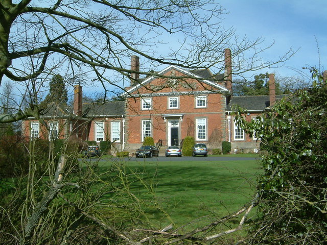
Wrottesley Hall
Wrottesley Hall is a 1923-built Grade II listed house in the civil parish of Perton, and historically part of Tettenhall in Staffordshire, England. The...

Oaken
Oaken is a small village in Staffordshire, England. The first mention of the Oaken place-name was in 1086 when it was listed in the Domesday book as Ache...

Codsall railway station
Codsall railway station serves the village of Codsall in Staffordshire, England. == History == The original listed GWR footbridge, between the two platforms...

South Staffordshire
South Staffordshire is a local government district in Staffordshire, England. The district lies to the north and west of the West Midlands county, bordering...
Codsall
Codsall is a large village in the South Staffordshire district of Staffordshire, England. It is situated 5 miles northwest of Wolverhampton and 13 miles...
Birches Bridge
Birches Bridge is an area of Codsall, Staffordshire. It is situated to the northwest of Wolverhampton between Bilbrook and Codsall. == Name and origins... ==

Bilbrook railway station
Bilbrook railway station is a railway station which serves the village of Bilbrook in Staffordshire, England. It was known as Birches and Bilbrook Halt...
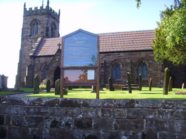
St Nicholas' Church, Codsall
St Nicholas’ Church, Codsall is a Grade II* listed parish church in the Church of England in Codsall == History == The doorway is Norman. The west tower...
Nearby Amenities
Located within 500m of 52.615544,-2.2178814Have you been to Bull Ride?
Leave your review of Bull Ride below (or comments, questions and feedback).