Black Hill Moss
Downs, Moorland in Yorkshire Richmondshire
England
Black Hill Moss
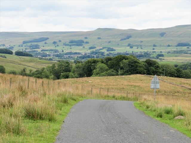
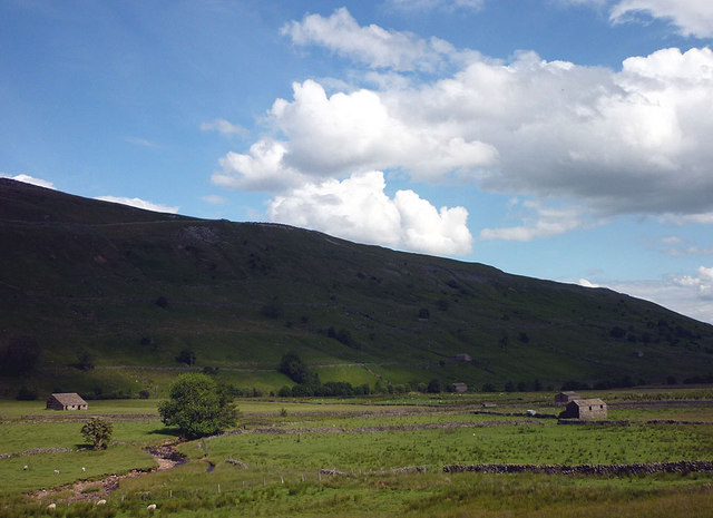
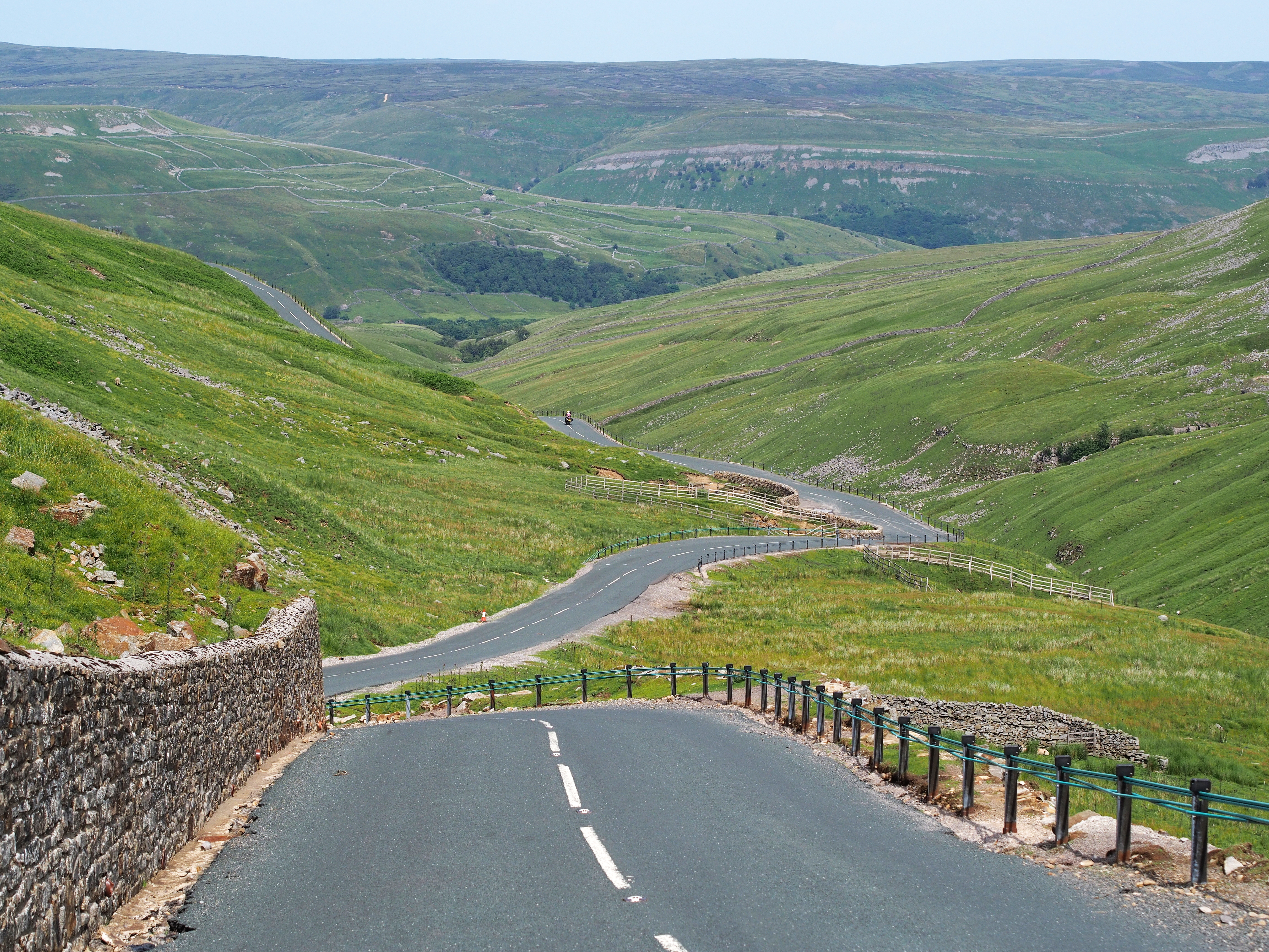
Black Hill Moss is a vast expanse of moorland located in Yorkshire, England. Situated within the Yorkshire Dales National Park, it is a significant part of the scenic landscape of the area. The moss is positioned on the southern side of the Pennines, encompassing an area of approximately 2 square kilometers.
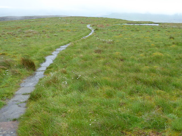
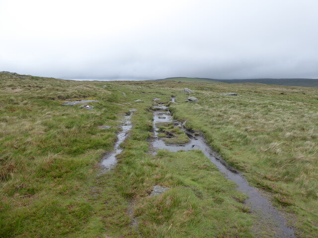
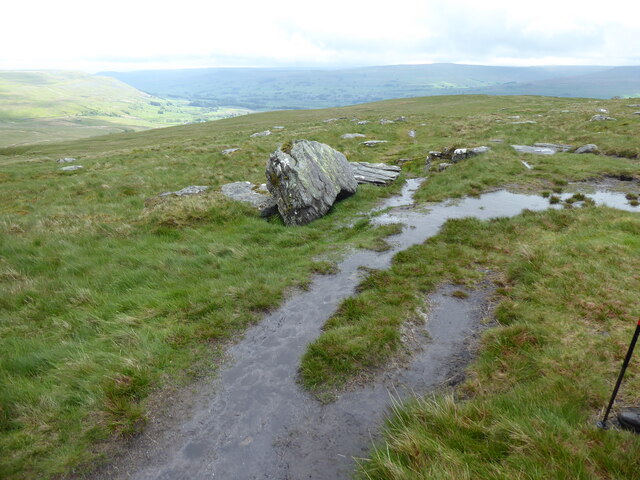
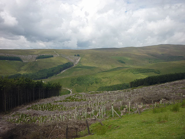
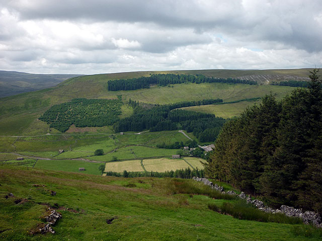
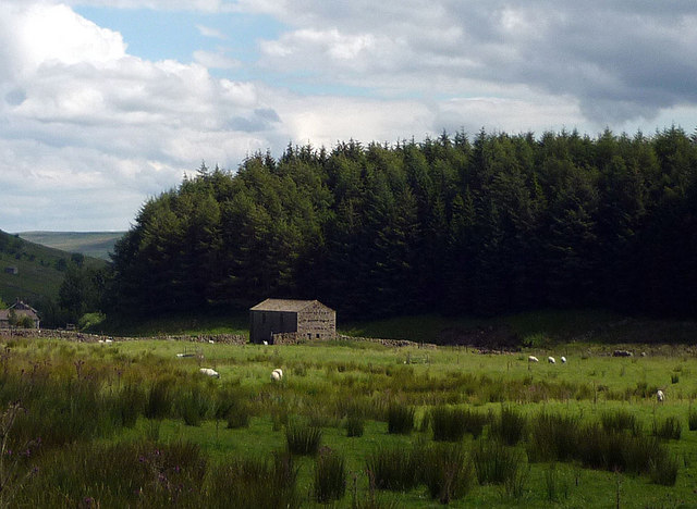
This moorland is characterized by its striking natural beauty, with its rolling hills, heather-covered landscapes, and expansive views. The terrain is largely composed of peat, which provides a unique habitat for a variety of plants and wildlife. Black Hill Moss is home to a diverse range of bird species, including grouse, curlew, and merlin, making it a popular destination for birdwatchers.
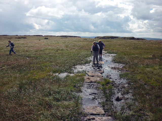
The moorland is crisscrossed by a network of footpaths, allowing visitors to explore the area and appreciate its natural wonders. One of the most well-known routes is the Pennine Way, a long-distance trail that passes through Black Hill Moss, offering hikers the opportunity to experience the beauty of the moorland up close.
Due to its remote location and rugged terrain, Black Hill Moss has remained relatively untouched by human activity. This has helped preserve its unique and fragile ecosystem. However, conservation efforts are ongoing to protect the moorland and its diverse range of flora and fauna.
Overall, Black Hill Moss is a picturesque and ecologically important part of the Yorkshire landscape, offering visitors the chance to immerse themselves in the beauty of the moorland and experience nature at its finest.
If you have any feedback on the listing, please let us know in the comments section below.
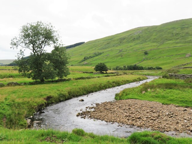
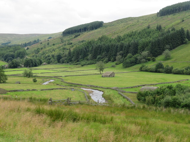
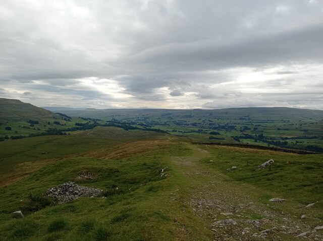
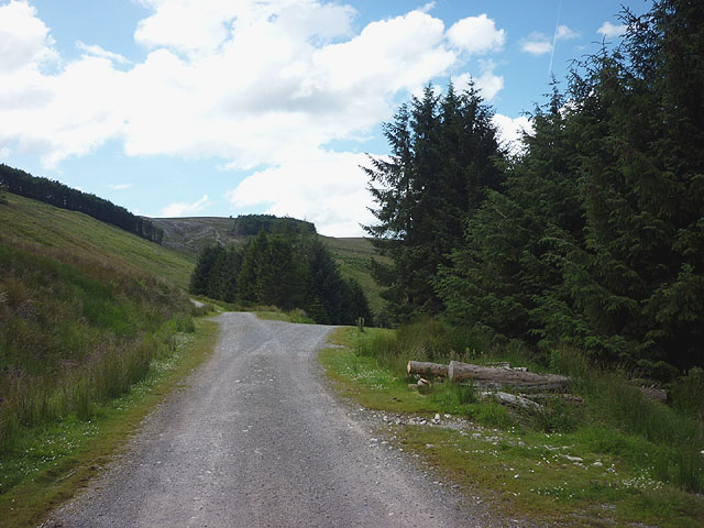
Black Hill Moss Images
Images are sourced within 2km of 54.346237/-2.240712 or Grid Reference SD8494. Thanks to Geograph Open Source API. All images are credited.


Black Hill Moss is located at Grid Ref: SD8494 (Lat: 54.346237, Lng: -2.240712)
Division: North Riding
Administrative County: North Yorkshire
District: Richmondshire
Police Authority: North Yorkshire
What 3 Words
///blip.triads.sweetened. Near Kirkby Stephen, Cumbria
Nearby Locations
Related Wikis

Cotterdale
Cotterdale is a small side dale and hamlet on the north side of Wensleydale in North Yorkshire, England. The dale lies to the west of Great Shunner Fell...

Great Shunner Fell
Great Shunner Fell is the third-highest mountain in the Yorkshire Dales, North Yorkshire, England, and the highest point in Wensleydale; at 716 metres...

Cotter Force
Cotter Force is a small waterfall on Cotterdale Beck, a minor tributary of the River Ure, near the mouth of Cotterdale, a side dale in Wensleydale, North...
Buttertubs Pass
The Buttertubs Pass is a high road in the Yorkshire Dales, England. The road winds its way north from Simonstone near Hawes towards Thwaite and Muker past...
Have you been to Black Hill Moss?
Leave your review of Black Hill Moss below (or comments, questions and feedback).