Ged Beck Pasture

Downs, Moorland in Yorkshire Ribble Valley

England

Ged Beck Pasture

Farm road at field edge A fairly crude, hard-surfaced road at the edge of a field of cut grass, north of the location at Hill Hey.
Farm road at field edge Credit: Trevor Littlewood

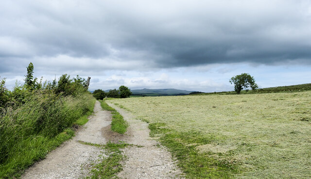
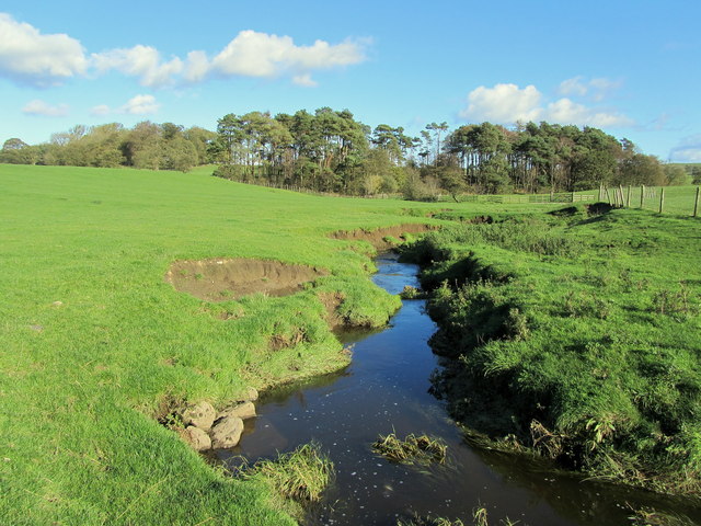
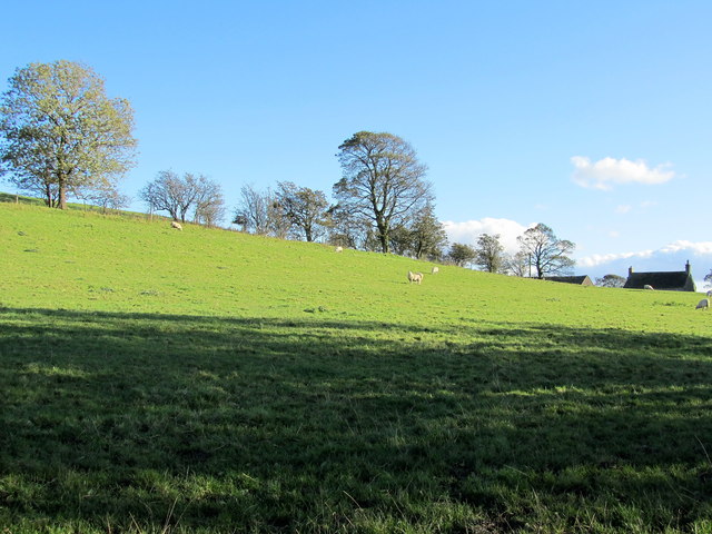
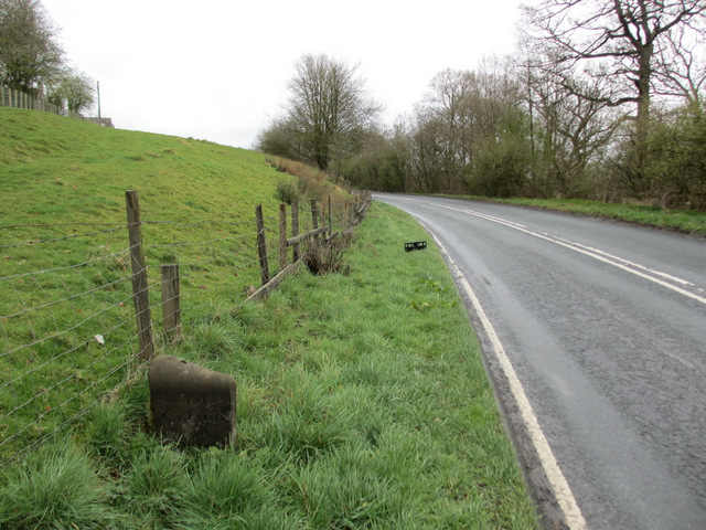
Ged Beck Pasture, situated in the picturesque county of Yorkshire, is a vast and enchanting landscape comprising of downs and moorland. Spanning over several acres, it offers a diverse and captivating natural environment that draws visitors from near and far.

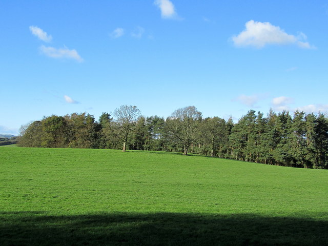
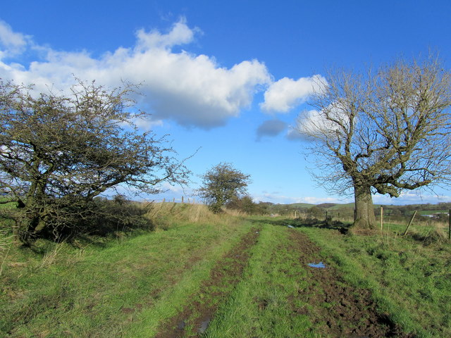
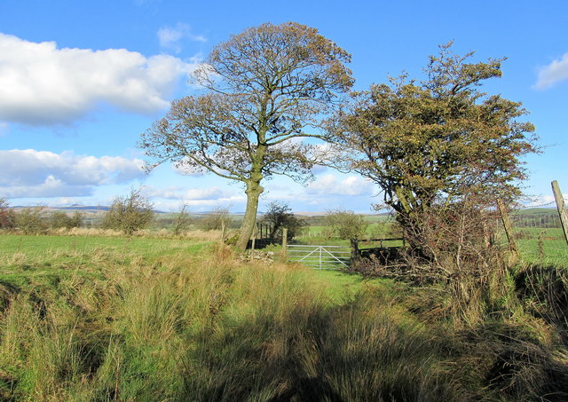
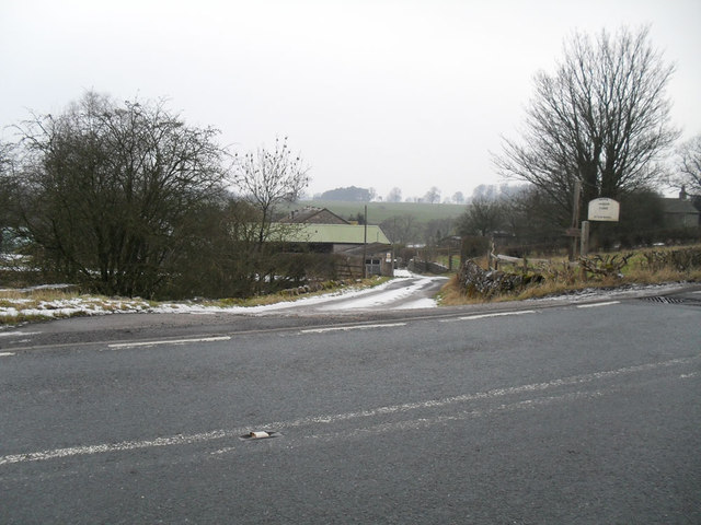
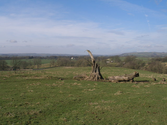
The pasture is nestled within the breathtaking Yorkshire Dales, surrounded by rolling hills and lush green valleys. Its location provides a sense of tranquility, where visitors can escape the hustle and bustle of everyday life and immerse themselves in the beauty of nature. The undulating terrain offers stunning panoramic views, with the moorland stretching out as far as the eye can see, dotted with heather and bracken.

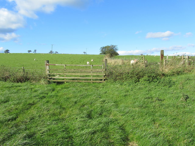
Rich in biodiversity, Ged Beck Pasture is home to a variety of flora and fauna. It boasts a vibrant and colorful assortment of wildflowers, including heather, foxgloves, and harebells, which bloom during the warmer months, creating a breathtaking spectacle. The pasture is also a haven for numerous bird species, such as curlews, lapwings, and skylarks, whose melodious songs can be heard echoing across the moorland.

For outdoor enthusiasts, Ged Beck Pasture offers a multitude of recreational activities. The undisturbed landscape provides an ideal setting for hiking, with a network of well-maintained trails that wind through the moorland, offering breathtaking vistas at every turn. The pasture is also popular among birdwatchers, who can indulge in their passion while observing the diverse avian population.

Ged Beck Pasture, with its awe-inspiring natural beauty and diverse ecosystem, truly embodies the charm and allure of Yorkshire's downs and moorland. It is a place where visitors can reconnect with nature, explore its wonders, and create lasting memories.

If you have any feedback on the listing, please let us know in the comments section below.

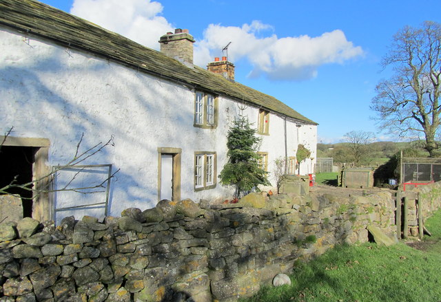
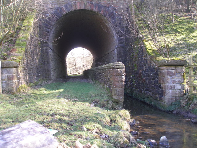
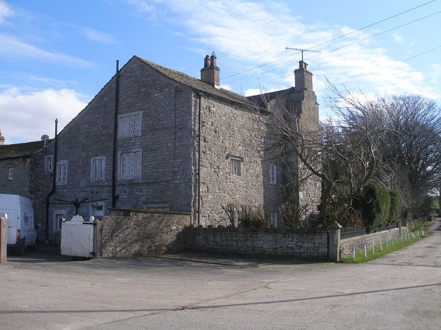
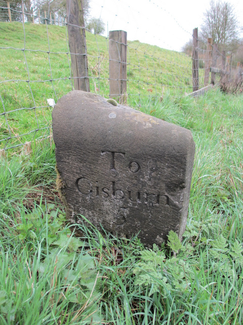
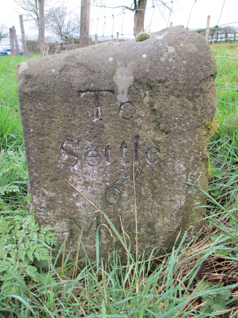
Ged Beck Pasture Images

Images are sourced within 2km of 53.978934/-2.2386484 or Grid Reference SD8453. Thanks to Geograph Open Source API. All images are credited.

Farm road at field edge A fairly crude, hard-surfaced road at the edge of a field of cut grass, north of the location at Hill Hey.
Farm road at field edge
A fairly crude, hard-surfaced road at the edge of a field of cut grass, north of the location at Hill Hey.
Railway Bridge at Nappa The A682 Gisburn/Long Preston Road at the scattered community of Nappa as it is crossed by a railway bridge.  It carries a mineral line that connects Clitheroe to Hellifield.
Railway Bridge at Nappa
The A682 Gisburn/Long Preston Road at the scattered community of Nappa as it is crossed by a railway bridge. It carries a mineral line that connects Clitheroe to Hellifield.
Cotter Hill Following a right of way from Swinden northwards towards the A682, near Halton West
Cotter Hill
Following a right of way from Swinden northwards towards the A682, near Halton West
Old Close Plantation Small patch of woodland above the River Ribble, seen from the south
Old Close Plantation
Small patch of woodland above the River Ribble, seen from the south
Ged Beck looking Downstream Crossing this stream below Black Plantation the scene looks down Ged Beck towards Gallaber Hole Plantation, on its journey to the River Ribble.
Ged Beck looking Downstream
Crossing this stream below Black Plantation the scene looks down Ged Beck towards Gallaber Hole Plantation, on its journey to the River Ribble.
Nappa Flats Farmhouse in the countryside of Mid Ribblesdale
Nappa Flats
Farmhouse in the countryside of Mid Ribblesdale
On the Track between Paa Hill and Nappa Flats Muddy track crossing the small drumlin of Priestbers
On the Track between Paa Hill and Nappa Flats
Muddy track crossing the small drumlin of Priestbers
Bridleway near Englands Head Part of the bridleway followed between Paa Hill and Nappa Flats - very boggy in texture
Bridleway near Englands Head
Part of the bridleway followed between Paa Hill and Nappa Flats - very boggy in texture
Paa Hill One of many glacial drumlins that are manifested in this area
Paa Hill
One of many glacial drumlins that are manifested in this area
Stone Barn off Paa Lane Laithe in a field beside Paa Lane
Stone Barn off Paa Lane
Laithe in a field beside Paa Lane
Nappa Manor Farm entrance
Fallen tree by the footpath near Cobers Laithe
Path and stream go under the railway at Swinden Gill
Swinden Hall
Swinden Hall
Milestone 'To Gisburn 5 Miles' This old milestone is on the A682 near the lane to Goosmere Height. The other side reads 'To Settle 6 Miles' <a href="https://www.geograph.org.uk/photo/2890378">SD8555 : Milestone 'To Settle 6 Miles'</a>. Old Ordnance Survey maps indicate a bench mark on this stone but I couldn't find any sign of it. For details of the mark see: <span class="nowrap"><a title="http://www.bench-marks.org.uk/bm31761" rel="nofollow ugc noopener" href="http://www.bench-marks.org.uk/bm31761">Link</a><img style="margin-left:2px;" alt="External link" title="External link - shift click to open in new window" src="https://s1.geograph.org.uk/img/external.png" width="10" height="10"/></span>
Milestone 'To Gisburn 5 Miles'
This old milestone is on the A682 near the lane to Goosmere Height. The other side reads 'To Settle 6 Miles' SD8555 : Milestone 'To Settle 6 Miles'. Old Ordnance Survey maps indicate a bench mark on this stone but I couldn't find any sign of it. For details of the mark see: LinkExternal link
Milestone 'To Settle 6 Miles' This old milestone is on the A682 near the lane to Goosmere Height. The other side reads 'To Gisburn 5 Miles' <a href="https://www.geograph.org.uk/photo/2890358">SD8555 : Milestone 'To Gisburn 5 Miles'</a>. Old Ordnance Survey maps indicate a bench mark on this stone but I couldn't find any sign of it.
Milestone 'To Settle 6 Miles'
This old milestone is on the A682 near the lane to Goosmere Height. The other side reads 'To Gisburn 5 Miles' SD8555 : Milestone 'To Gisburn 5 Miles'. Old Ordnance Survey maps indicate a bench mark on this stone but I couldn't find any sign of it.
A milestone on the A682 This old milestone is near the lane to Goosmere Height. The near face states 'To Settle 6 Miles' see <a href="https://www.geograph.org.uk/photo/2890358">SD8555 : Milestone 'To Gisburn 5 Miles'</a> and the far side 'To Gisburn 5 Miles' see <a href="https://www.geograph.org.uk/photo/2890378">SD8555 : Milestone 'To Settle 6 Miles'</a>.  Old Ordnance Survey maps indicate that there was once a bench mark on the stone but I was unable to find one.
A milestone on the A682
This old milestone is near the lane to Goosmere Height. The near face states 'To Settle 6 Miles' see SD8555 : Milestone 'To Gisburn 5 Miles' and the far side 'To Gisburn 5 Miles' see SD8555 : Milestone 'To Settle 6 Miles'. Old Ordnance Survey maps indicate that there was once a bench mark on the stone but I was unable to find one.
Show me another place!

Ged Beck Pasture is located at Grid Ref: SD8453 (Lat: 53.978934, Lng: -2.2386484)

Division: West Riding

Administrative County: Lancashire

District: Ribble Valley

Police Authority: Lancashire

What 3 Words

///nametag.snowballs.hydrant. Near Hellifield, North Yorkshire

Related Wikis

Halton West

Halton West is a village and civil parish in the Craven district of North Yorkshire, England. North Yorkshire County Council estimated the population in...

Nappa, North Yorkshire

Nappa is a hamlet in the civil parish of Hellifield, in North Yorkshire, England. It is on the A682 road and 6 miles (9.7 km) north-west of Barnoldswick...

Swinden

Swinden is a village in the civil parish of Hellifield, in North Yorkshire, England. It is near Halton West and Nappa and about 7 miles north of Barnoldswick...

Newsholme, Lancashire

Newsholme is a small village and civil parish in the Ribble Valley, Lancashire, England, but lies within the historic West Riding of Yorkshire. According...

Paythorne

Paythorne is a small village and civil parish in Ribble Valley, Lancashire, England. It is situated alongside the River Ribble, north-east of Clitheroe...

Newsholme railway station

Newsholme railway station was a railway station that served the small village of Newsholme in Lancashire. It was built by the Lancashire and Yorkshire...

Hellifield

Hellifield is a village and civil parish in the Craven district of North Yorkshire, England (grid reference SD855565). Historically part of the West Riding...

Horton, Lancashire

Horton, historically known as Horton-in-Craven, is a village and a civil parish in the Ribble Valley district of the English county of Lancashire (historically...

Have you been to Ged Beck Pasture?

Leave your review of Ged Beck Pasture below (or comments, questions and feedback).