Bevere Green
Downs, Moorland in Worcestershire Wychavon
England
Bevere Green

Bevere Green is a small village located in the county of Worcestershire, England. It is situated on the outskirts of the city of Worcester, just a couple of miles to the northwest. The village is surrounded by beautiful countryside, characterized by rolling downs and moorland.
The landscape of Bevere Green is dominated by lush green fields, offering picturesque views of the Worcestershire countryside. The area is known for its diverse wildlife and is a popular destination for nature enthusiasts and bird watchers. The nearby moorland provides a unique habitat for various species of birds and animals, making it an ideal spot for outdoor activities such as hiking and wildlife photography.
Despite its rural setting, Bevere Green enjoys good connectivity to the nearby city of Worcester. The village is easily accessible via the A449 road, which connects it to the city center and other major towns in the region. This makes it a convenient place to live for those who prefer a quieter lifestyle but still want access to urban amenities.
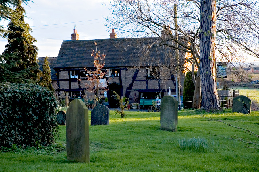
Bevere Green itself is a close-knit community, with a small population and a friendly atmosphere. The village has a local pub, offering a cozy spot to socialize and enjoy traditional English food and drink. Additionally, there are a few small businesses and farms in the area, contributing to the local economy.
Overall, Bevere Green is a charming village nestled in the Worcestershire countryside, offering a peaceful and picturesque setting for residents and visitors alike.
If you have any feedback on the listing, please let us know in the comments section below.
Bevere Green Images
Images are sourced within 2km of 52.229425/-2.2345928 or Grid Reference SO8459. Thanks to Geograph Open Source API. All images are credited.


Bevere Green is located at Grid Ref: SO8459 (Lat: 52.229425, Lng: -2.2345928)
Administrative County: Worcestershire
District: Wychavon
Police Authority: West Mercia
What 3 Words
///silver.action.tiles. Near Hallow, Worcestershire
Nearby Locations
Related Wikis

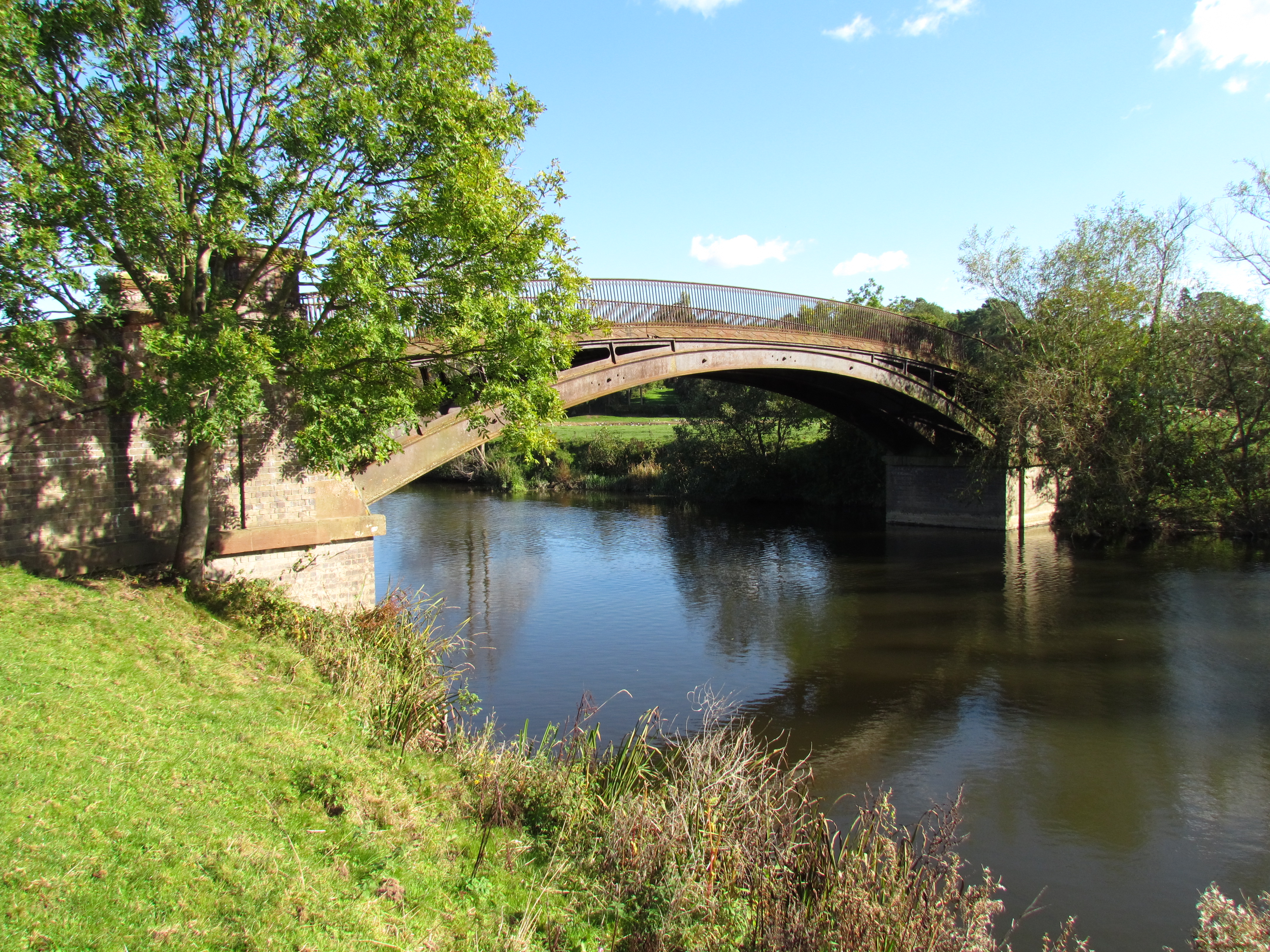
River Salwarpe
The River Salwarpe is a 20.4 miles (32.8 km) long river in Worcestershire, England. It is a left bank tributary of the River Severn, which it joins near...
The Mug House
The Mug House is a traditional public house located in the village of Claines, Worcestershire, England, which dates back to the 15th century. == Overview... ==

A449 road
The A449 is a major road in the United Kingdom. It runs north from junction 24 of the A48 road at Newport in South Wales to Stafford in Staffordshire....

Northwick, Worcestershire
Northwick is a district of Worcester, England, located in the north of the city on the left (east) bank of the River Severn. == History == Historically...

Grimley, Worcestershire
Grimley is a village and civil parish (grid reference SO8360) in the Malvern Hills District in the county of Worcestershire, England about 3 miles (4...

Claines
Claines is a small village just to the north of Worcester, in the Worcester district, in the county of Worcestershire, England, on the east bank of the...
North Claines
North Claines is a civil parish in Wychavon district, Worcestershire, England, immediately north of the city of Worcester. It includes the settlements...

Hallow, Worcestershire
Hallow is a village and civil parish beside the River Severn, about 2 miles (3.2 km) north-west of Worcester in Worcestershire. The village is on the A443...
Nearby Amenities
Located within 500m of 52.229425,-2.2345928Have you been to Bevere Green?
Leave your review of Bevere Green below (or comments, questions and feedback).