Simonburn Common
Downs, Moorland in Northumberland
England
Simonburn Common
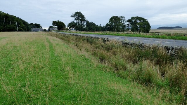
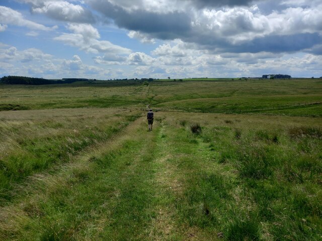
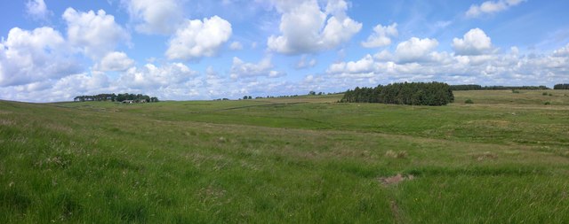
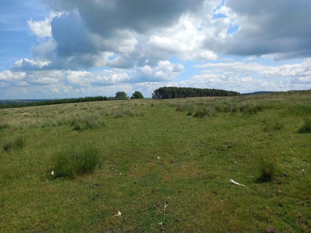
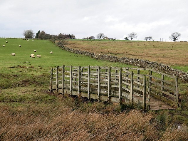
Simonburn Common is a vast expanse of stunning natural beauty located in the county of Northumberland, England. Covering an area of approximately 10 square miles, the common is characterized by its rolling downs and picturesque moorland.
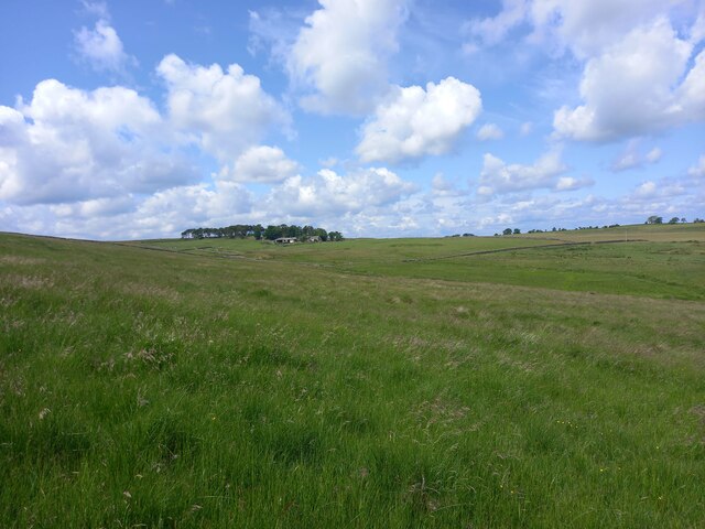
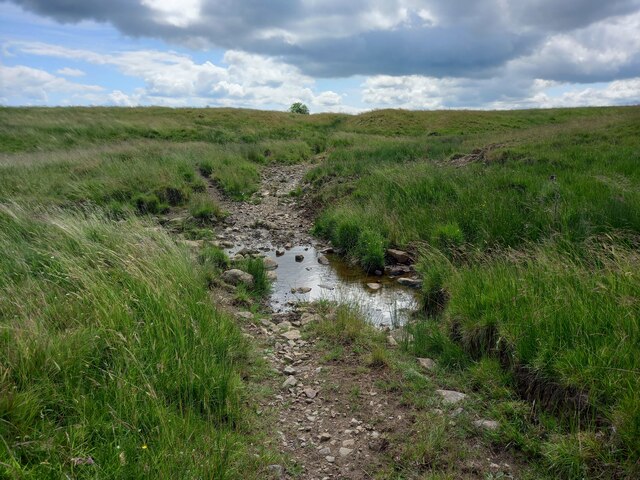
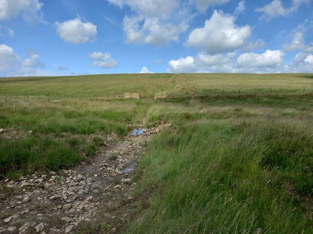
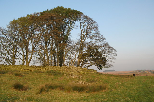
The landscape of Simonburn Common is dominated by open grasslands interspersed with heather-covered hills, creating a diverse habitat for a wide range of flora and fauna. Visitors can expect to see an array of wildflowers, such as cotton grass and bilberry, as well as various species of birds, including skylarks and curlews. The common is also home to several small mammals, such as rabbits and hares.
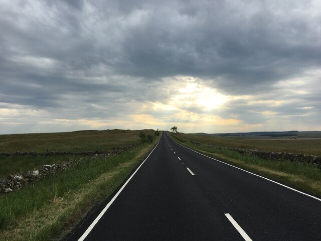
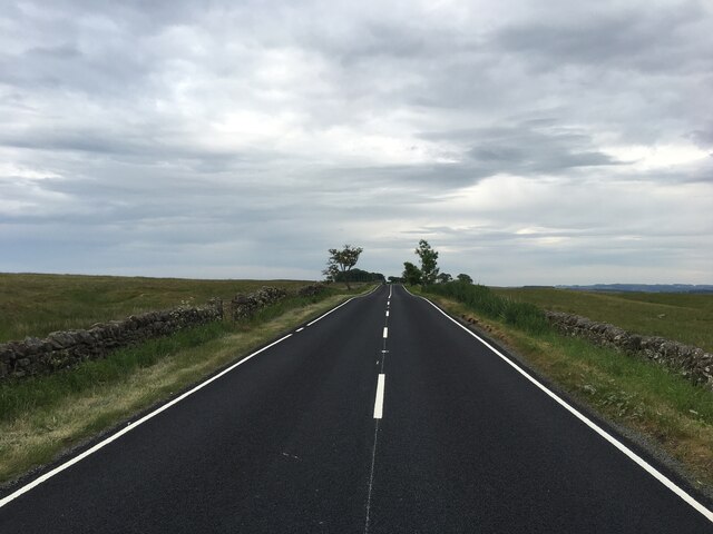
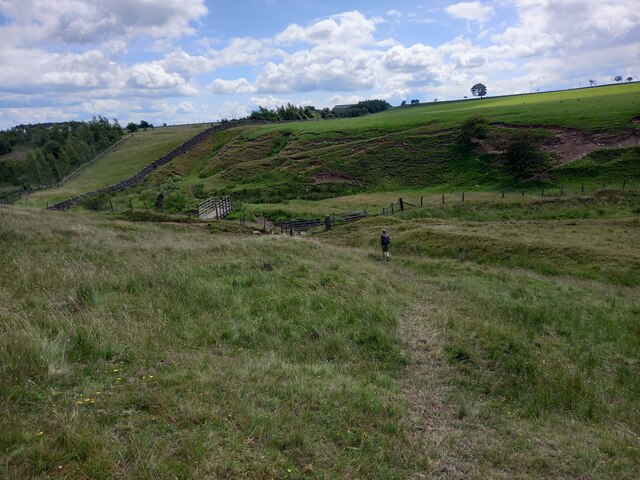
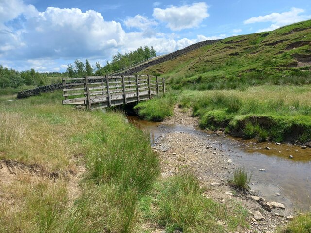
The common is crisscrossed by a network of footpaths and bridleways, making it an ideal destination for walkers, hikers, and horse riders. These trails offer breathtaking views of the surrounding countryside, with the Cheviot Hills visible in the distance. The tranquility and solitude of Simonburn Common make it a favorite spot for nature lovers and those seeking a peaceful retreat.
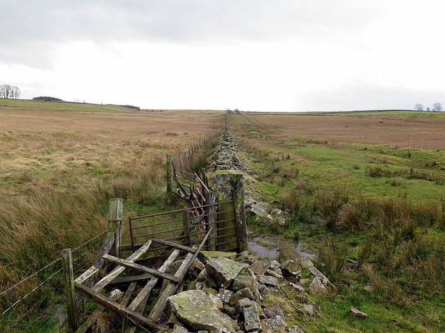
In addition to its natural beauty, Simonburn Common has historical significance. The area has evidence of prehistoric settlements, including Bronze Age cairns, which highlight its long-standing human presence. The common is also part of the Northumberland National Park, making it a protected area and ensuring its preservation for future generations.
Overall, Simonburn Common is a place of serene beauty, offering a unique blend of natural landscapes and historical significance. Its rolling downs, moorland, and extensive footpaths make it an idyllic destination for outdoor enthusiasts and those seeking a connection with nature.
If you have any feedback on the listing, please let us know in the comments section below.
Simonburn Common Images
Images are sourced within 2km of 55.049479/-2.2527575 or Grid Reference NY8372. Thanks to Geograph Open Source API. All images are credited.


Simonburn Common is located at Grid Ref: NY8372 (Lat: 55.049479, Lng: -2.2527575)
Unitary Authority: Northumberland
Police Authority: Northumbria
What 3 Words
///kite.cherished.portfolio. Near Birtley, Northumberland
Nearby Locations
Related Wikis

Greenhaugh
Greenhaugh is a small village in Northumberland, England. It is located northwest of Bellingham and borders the Northumberland National Park. It is in...

Milecastle 32
Milecastle 32 (Carraw) was a milecastle of the Roman Hadrian's Wall. Its remains exist as earthworks and with no exposed masonry. The layout of the milecastle...

Milecastle 33
Milecastle 33 (Shield on the Wall) was a milecastle of the Roman Hadrian's Wall, one of a series of small fortlets built at intervals of approximately...

The Goatstones
The Goatstones is a Bronze-Age four-poster stone circle located near Ravensheugh Crags in Northumberland, England. It is 2.5 miles (4.0 km) to the north...

Milecastle 31
Milecastle 31 (Carrawburgh) was a milecastle of the Roman Hadrian's Wall. Its remains exist as a turf covered platform beside (and partially covered by...

Carrawburgh
Carrawburgh is a settlement in Northumberland. In Roman times, it was the site of a 3+1⁄2-acre (1.5 ha) auxiliary fort on Hadrian's Wall called Brocolitia...

Halleypike Lough
Halleypike Lough is an inland lake on Haughton Common at the southern edge of Northumberland National Park, northeast of Bardon Mill, and 1 mile (1.6 km...
Milecastle 34
Milecastle 34 (Grindon) was a milecastle of the Roman Hadrian's Wall. There are no visible remains, but the site is within a small, tree-filled, walled...
Nearby Amenities
Located within 500m of 55.049479,-2.2527575Have you been to Simonburn Common?
Leave your review of Simonburn Common below (or comments, questions and feedback).