Burnt Moor
Downs, Moorland in Yorkshire Richmondshire
England
Burnt Moor
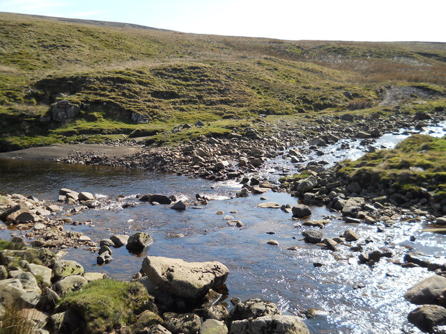
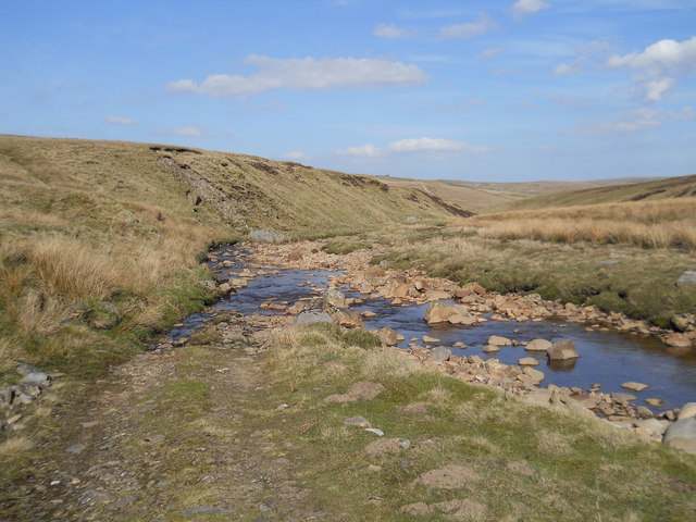
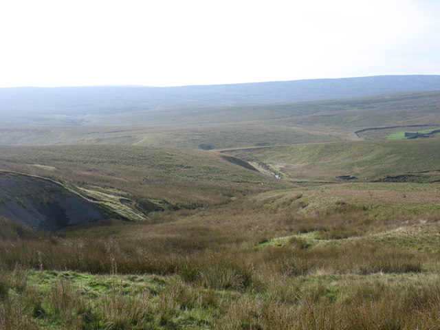
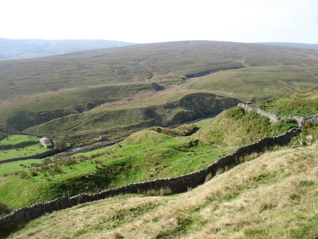
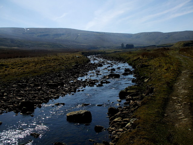
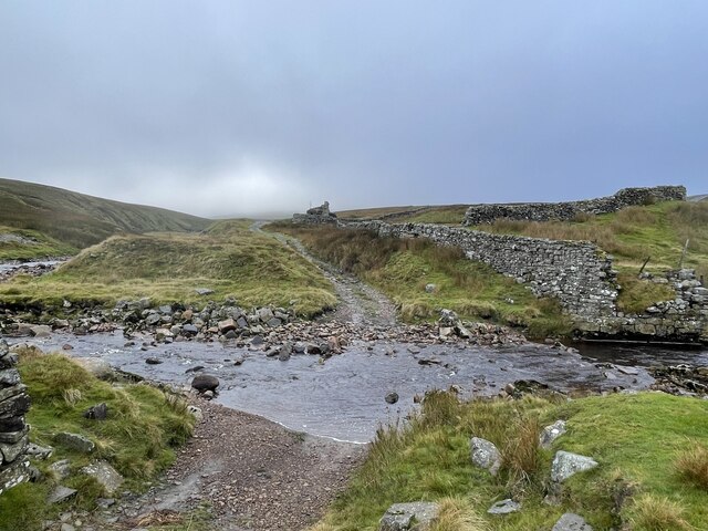
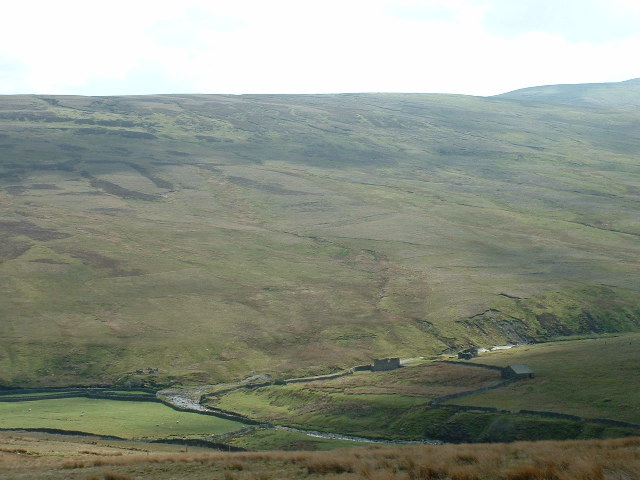
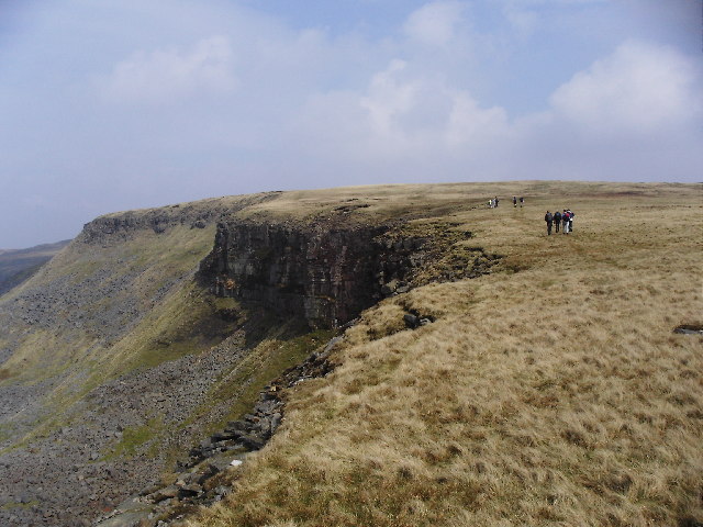
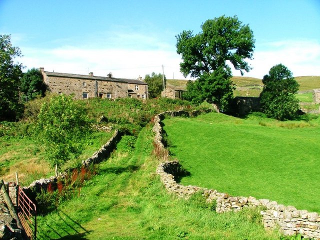
Burnt Moor is a picturesque area located in Yorkshire, England, renowned for its stunning downs and moorland landscapes. Situated in the heart of the Yorkshire Dales National Park, Burnt Moor covers a vast expanse of rolling hills, heather-covered moors, and ancient woodlands, making it a haven for nature enthusiasts and outdoor adventurers.
The moorland of Burnt Moor is characterized by its rich biodiversity. The heather-clad slopes provide a vibrant purple hue during the summer months, creating a breathtaking sight for visitors. The area is also home to a variety of wildlife, including red grouse, curlews, and wild deer, making it a popular spot for birdwatching and wildlife photography.
The ups and downs of Burnt Moor offer a range of walking and hiking trails, catering to all abilities. From gentle strolls through the meandering valleys to more challenging hikes up the steep slopes, there is a trail to suit everyone's preferences. The panoramic views from the top of the moorland are simply awe-inspiring, with rolling hills stretching as far as the eye can see.
For those interested in history and archaeology, Burnt Moor has its fair share of ancient landmarks. The area is dotted with prehistoric stone circles, burial mounds, and remnants of old settlements, providing insight into the region's rich past.
In summary, Burnt Moor in Yorkshire is a captivating destination that offers a mix of natural beauty, outdoor activities, and historical intrigue. Whether you are looking for a peaceful retreat or an adventurous escape, this idyllic moorland has something for everyone to enjoy.
If you have any feedback on the listing, please let us know in the comments section below.
Burnt Moor Images
Images are sourced within 2km of 54.40332/-2.2511057 or Grid Reference NY8300. Thanks to Geograph Open Source API. All images are credited.


Burnt Moor is located at Grid Ref: NY8300 (Lat: 54.40332, Lng: -2.2511057)
Division: North Riding
Administrative County: North Yorkshire
District: Richmondshire
Police Authority: North Yorkshire
What 3 Words
///conforms.organ.green. Near Kirkby Stephen, Cumbria
Nearby Locations
Related Wikis

Birkdale, North Yorkshire
Birkdale (sometimes written out as Birk Dale) is a dale in the Yorkshire Dales National Park, in North Yorkshire, England. It lies at the far western end...

Vale of Eden
The Vale of Eden is formed by the course of the River Eden, one of the major rivers of Northwest England. It is however of much greater extent than the...

Hugh Seat
Hugh Seat is a mountain, or more accurately a fell, in Mallerstang on the eastern edge of Cumbria, England. It lies on the border between Cumbria and North...

Gregory Chapel
Gregory Chapel is one of the high points of the fells on the border between Cumbria and North Yorkshire. The summit is marked by a nearby sheep shelter...
High Seat (Yorkshire Dales)
High Seat is a fell in the dale of Mallerstang, Cumbria. With a summit at 709 metres (2,326 ft), it is the fourth highest fell in the Yorkshire Dales...

Great Shunner Fell
Great Shunner Fell is the third highest mountain in the Yorkshire Dales, North Yorkshire, England, and the highest point in Wensleydale; at 716 metres...

Wain Wath Force
Wain Wath Force is a waterfall on the River Swale in the Yorkshire Dales National Park, North Yorkshire, England. The falls are at grid reference NY883015...
Angram, Richmondshire
Angram is a hamlet in the Yorkshire Dales in the Richmondshire district of North Yorkshire, England. It is situated near to Keld to the north and Thwaite...
Nearby Amenities
Located within 500m of 54.40332,-2.2511057Have you been to Burnt Moor?
Leave your review of Burnt Moor below (or comments, questions and feedback).