Motty Meadows
Downs, Moorland in Staffordshire South Staffordshire
England
Motty Meadows

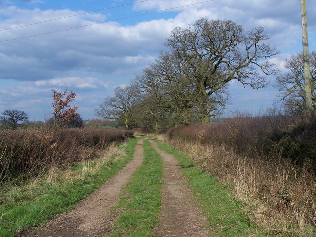
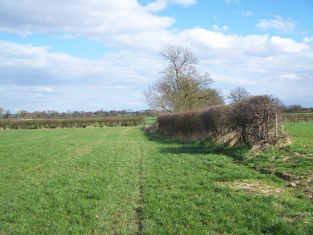
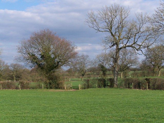
Motty Meadows is a picturesque area located in Staffordshire, England, known for its stunning downs and moorland landscapes. Situated in the heart of the country, this tranquil region offers visitors a true escape from the hustle and bustle of city life.
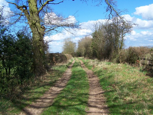
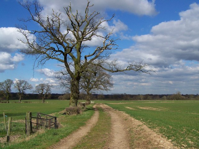
The meadows are characterized by their rolling hills, covered in lush green grass and dotted with vibrant wildflowers during the spring and summer months. The undulating terrain provides breathtaking views of the surrounding countryside, making it a popular spot for nature enthusiasts and photographers alike.
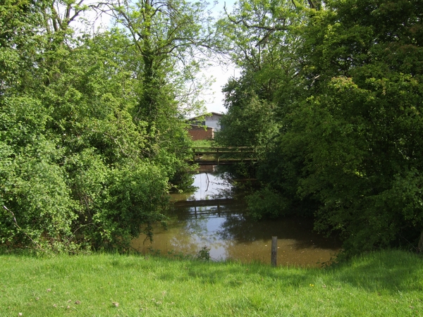
Aside from its natural beauty, Motty Meadows is also home to a variety of wildlife. Visitors may catch sight of rabbits, hares, and numerous bird species as they explore the area. The sounds of chirping birds and the gentle rustling of leaves create a serene atmosphere, perfect for those seeking a quiet retreat.
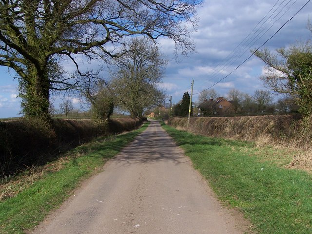
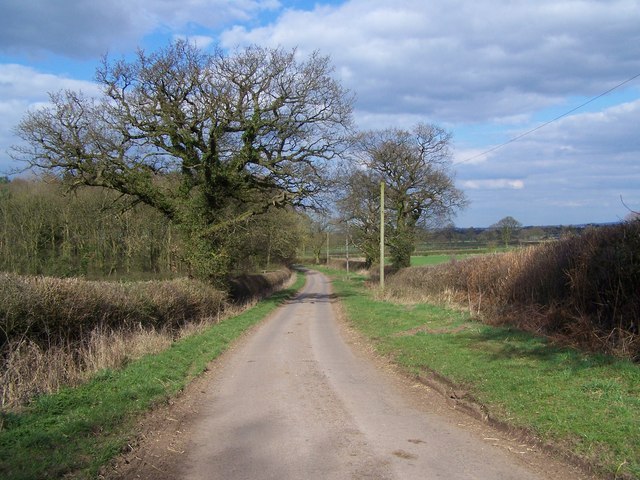
The meadows are easily accessible, with several walking and hiking trails crisscrossing the area. These paths cater to all abilities, allowing visitors to choose between leisurely strolls or more challenging treks. Along the way, visitors can discover hidden gems such as ancient stone circles and centuries-old oak trees, adding a touch of history to the natural beauty.
Motty Meadows is a haven for outdoor activities, including picnicking, horseback riding, and even camping. The area boasts well-maintained facilities, including picnic areas, riding trails, and designated camping spots, making it an ideal destination for families and outdoor enthusiasts.
Overall, Motty Meadows offers visitors a chance to immerse themselves in the stunning natural landscapes of Staffordshire, providing a peaceful and rejuvenating experience for all who visit.
If you have any feedback on the listing, please let us know in the comments section below.
Motty Meadows Images
Images are sourced within 2km of 52.714844/-2.2456881 or Grid Reference SJ8313. Thanks to Geograph Open Source API. All images are credited.


Motty Meadows is located at Grid Ref: SJ8313 (Lat: 52.714844, Lng: -2.2456881)
Administrative County: Staffordshire
District: South Staffordshire
Police Authority: Staffordshire
What 3 Words
///slippers.bloomers.childcare. Near Wheaton Aston, Staffordshire
Nearby Locations
Related Wikis

Mottey Meadows
Mottey Meadows National Nature Reserve (NNR) consists of a series of alluvial flood meadows near the village of Wheaton Aston in Staffordshire, England...
Brockhurst, Staffordshire
Brockhurst is a hamlet in Staffordshire, England, 1 mile sorth-west of Blymhill. It is part of Blymhill and Weston-under-Lizard civil parish within South...

Wheaton Aston
Wheaton Aston is a small village in Staffordshire, England about 9 miles south west of Stafford and 7 miles west of Cannock. It is located beside Bridge...

RAF Wheaton Aston
Royal Air Force Wheaton Aston, or more simply RAF Wheaton Aston, was a Royal Air Force station located just outside of the village of Wheaton Aston in...
Nearby Amenities
Located within 500m of 52.714844,-2.2456881Have you been to Motty Meadows?
Leave your review of Motty Meadows below (or comments, questions and feedback).