Birkdale Common
Downs, Moorland in Yorkshire Richmondshire
England
Birkdale Common

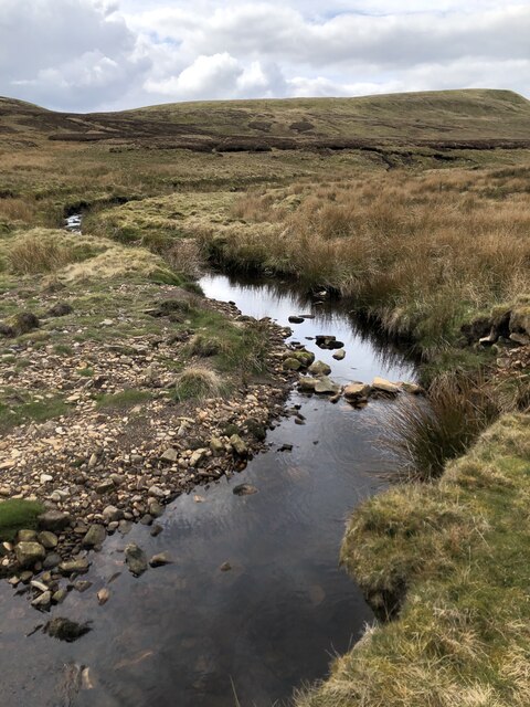
Birkdale Common is a picturesque landscape located in the county of Yorkshire, England. Situated in the heart of the Yorkshire Downs, this vast expanse of moorland offers visitors a unique experience of the region's natural beauty. Covering an area of approximately 2,000 acres, Birkdale Common is a designated Site of Special Scientific Interest (SSSI) due to its rich biodiversity and unique geological features.
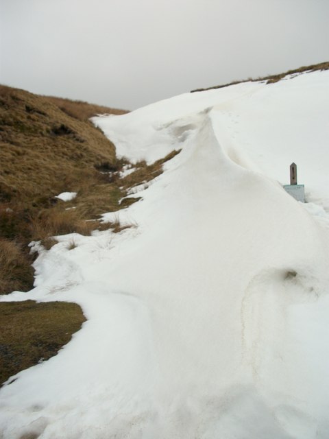
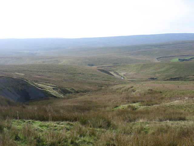
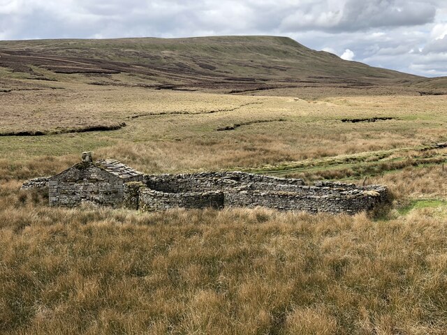
The common is characterized by its rolling hills, heather-covered moorlands, and scattered patches of woodland. The diverse range of habitats found here supports a wide array of flora and fauna, making it a haven for nature enthusiasts. Visitors can expect to encounter various bird species such as skylarks, meadow pipits, and curlews, as well as small mammals like hares and rabbits.
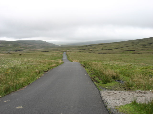
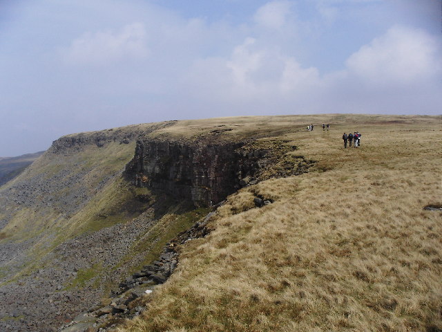
The common is crisscrossed by a network of footpaths and bridleways, providing ample opportunities for hikers, cyclists, and horse riders to explore the area. The rugged terrain offers stunning panoramic views of the surrounding countryside, with the North York Moors National Park visible in the distance. There are also several picnic spots and benches dotted throughout the common, allowing visitors to relax and soak in the tranquil atmosphere.
Birkdale Common is easily accessible, located just a short drive from the nearby town of Scarborough. Whether it's a leisurely walk, a challenging hike, or a peaceful retreat into nature, Birkdale Common offers something for everyone to enjoy in the breathtaking Yorkshire landscape.
If you have any feedback on the listing, please let us know in the comments section below.
Birkdale Common Images
Images are sourced within 2km of 54.420537/-2.260473 or Grid Reference NY8302. Thanks to Geograph Open Source API. All images are credited.


Birkdale Common is located at Grid Ref: NY8302 (Lat: 54.420537, Lng: -2.260473)
Division: North Riding
Administrative County: North Yorkshire
District: Richmondshire
Police Authority: North Yorkshire
What 3 Words
///chariots.surgical.newspaper. Near Kirkby Stephen, Cumbria
Nearby Locations
Related Wikis

Birkdale, North Yorkshire
Birkdale (sometimes written out as Birk Dale) is a dale in the Yorkshire Dales National Park, in North Yorkshire, England. It lies at the far western end...
High Seat (Yorkshire Dales)
High Seat is a fell in the dale of Mallerstang, Cumbria. With a summit at 709 metres (2,326 ft), it is the fourth highest fell in the Yorkshire Dales...
Nine Standards Rigg
Nine Standards Rigg is the summit of Hartley Fell in the Pennine Hills of England. It lies near the boundary between Cumbria and North Yorkshire, a few...

Gregory Chapel
Gregory Chapel is one of the high points of the fells on the border between Cumbria and North Yorkshire. The summit is marked by a nearby sheep shelter...

Vale of Eden
The Vale of Eden is formed by the course of the River Eden, one of the major rivers of Northwest England. It is however of much greater extent than the...

Hugh Seat
Hugh Seat is a mountain, or more accurately a fell, in Mallerstang on the eastern edge of Cumbria, England. It lies on the border between Cumbria and North...

Outhgill
Outhgill is a hamlet in Mallerstang, Cumbria, England. It lies about 5 miles (8 km) south of Kirkby Stephen. It is the main hamlet in the dale of Mallerstang...

Pendragon Castle
Pendragon Castle is a ruin located in Mallerstang Dale, Cumbria, south of Kirkby Stephen, and close to the hamlet of Outhgill (at grid reference NY781025...
Nearby Amenities
Located within 500m of 54.420537,-2.260473Have you been to Birkdale Common?
Leave your review of Birkdale Common below (or comments, questions and feedback).