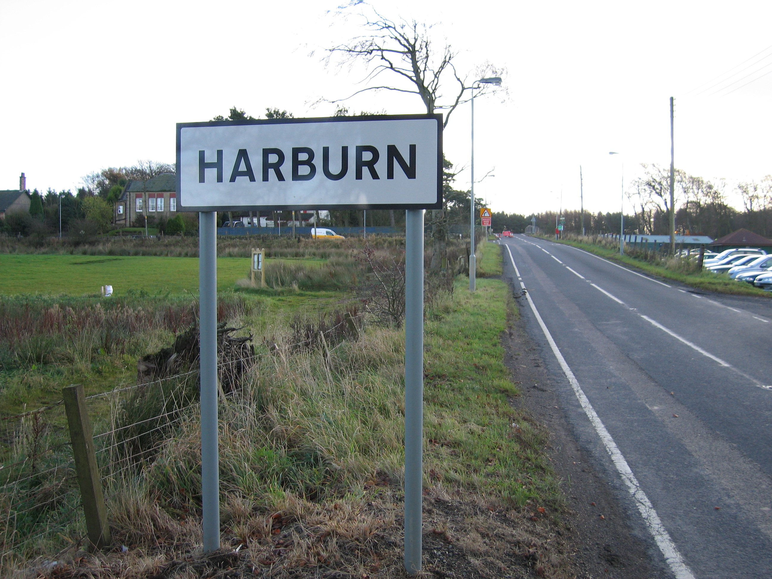
Harburn
Settlement in Midlothian
Scotland
Harburn

Harburn is a small rural village located in the county of Midlothian, Scotland. Situated approximately 13 miles west of the capital city, Edinburgh, it lies within the larger Harburn Estate, which covers around 2,500 acres of picturesque countryside.
Harburn is known for its idyllic setting, surrounded by rolling hills, lush green fields, and dense woodlands. The village itself consists of a handful of traditional stone-built houses, some of which date back to the 18th century, giving it a charming and historic character.
The village is home to a close-knit community, with a population of around 200 residents. While it may be small, Harburn has a strong sense of community spirit, and locals often organize events and activities to bring people together. The village also has a community hall, which serves as a hub for social gatherings, meetings, and local events.
The Harburn Estate, which encompasses the village, is renowned for its stunning natural beauty and offers ample opportunities for outdoor pursuits. There are numerous walking and cycling trails that crisscross the estate, allowing visitors and residents to explore the stunning landscapes and enjoy the abundance of wildlife.
Despite its tranquil rural setting, Harburn is conveniently located near major transportation links. The nearby town of West Calder provides access to a railway station, connecting Harburn with Edinburgh and Glasgow. Additionally, the A71 road runs close to the village, providing easy access to the wider region.
Overall, Harburn offers a peaceful retreat from the hustle and bustle of city life, with its beautiful surroundings, friendly community, and close proximity to both nature and urban amenities.
If you have any feedback on the listing, please let us know in the comments section below.
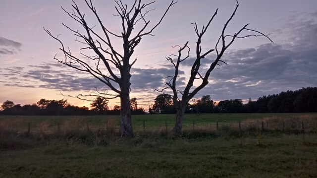
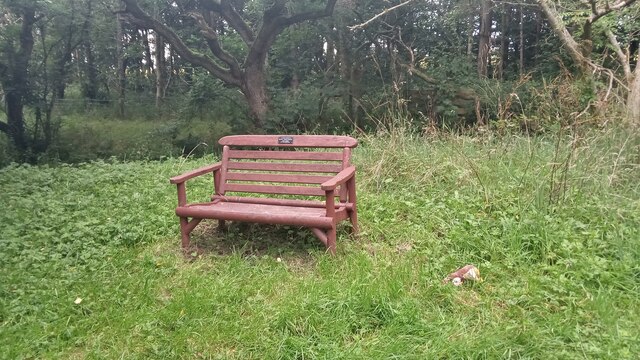
Harburn Images
Images are sourced within 2km of 55.836616/-3.535225 or Grid Reference NT0361. Thanks to Geograph Open Source API. All images are credited.


Harburn is located at Grid Ref: NT0361 (Lat: 55.836616, Lng: -3.535225)
Unitary Authority: West Lothian
Police Authority: The Lothians and Scottish Borders
What 3 Words
///blank.sketch.hero. Near West Calder, West Lothian
Nearby Locations
Related Wikis
Harburn, West Lothian
Harburn is a small village and estate in West Lothian, Scotland. It lies approximately 2 miles south-east of West Calder and just to the north of the Pentland...
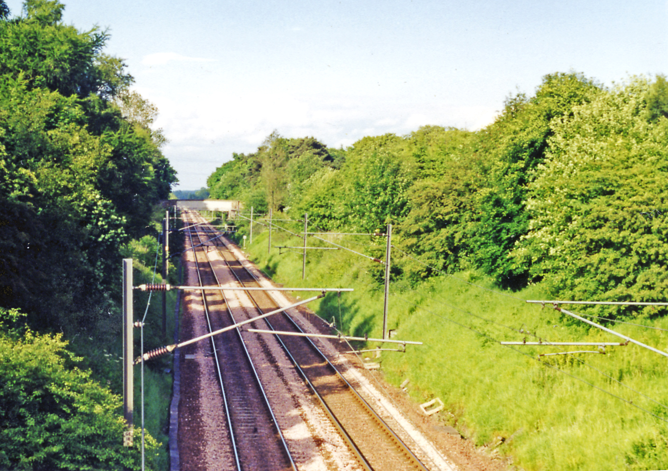
Harburn railway station
Harburn railway station was situated on the Caledonian Railway line between Carstairs railway station and Edinburgh. It was closed in 1966 by the Beeching...
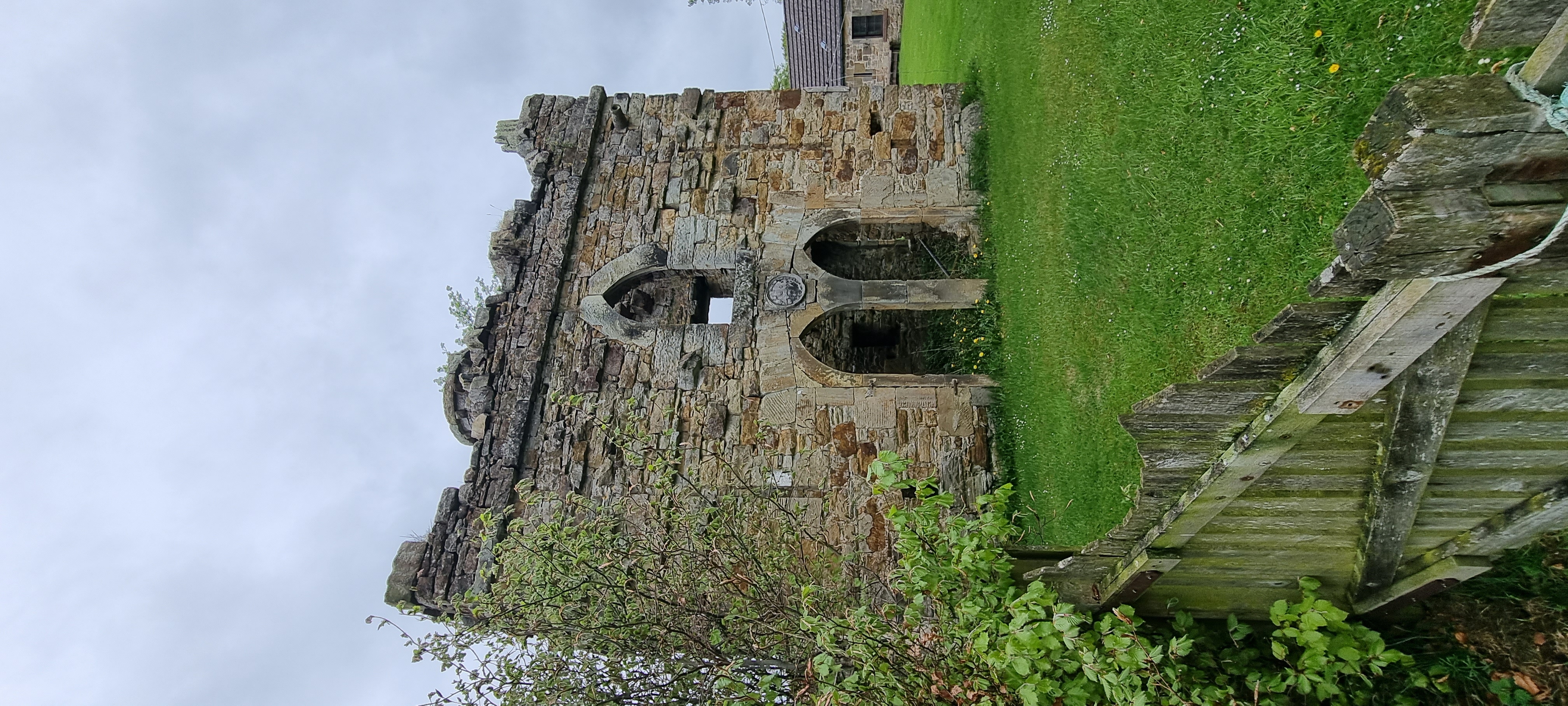
Murieston Castle
Murieston Castle is a ruined tower house, dating from the 16th century, 2 miles (3.2 km) west of West Calder, west of the Murieston Water, at Murieston...

West Calder High School
West Calder High School is a secondary school in West Calder, West Lothian, Scotland. The current school building was officially opened in 2018 by former...
Nearby Amenities
Located within 500m of 55.836616,-3.535225Have you been to Harburn?
Leave your review of Harburn below (or comments, questions and feedback).