Ashleworth Meadows
Downs, Moorland in Gloucestershire Tewkesbury
England
Ashleworth Meadows
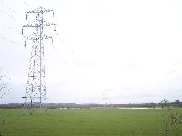
Ashleworth Meadows is a beautiful nature reserve located in Gloucestershire, England. Spanning over 56 hectares, it consists of both downs and moorland habitats. The meadows are situated in the floodplain of the River Severn, making it an incredibly rich and diverse ecosystem.
The reserve is known for its remarkable biodiversity. It is home to a wide variety of plant species, including rare orchids, water avens, and marsh marigolds. These vibrant plants create a stunning display of colors during the spring and summer months. The meadows also provide an ideal habitat for numerous bird species, such as lapwings, snipes, and skylarks, which can often be seen soaring through the sky or nesting in the grasslands.
Ashleworth Meadows is not only a haven for flora and fauna but also plays a vital role in flood prevention. The reserve acts as a natural floodplain, storing excess water during periods of heavy rainfall and reducing the risk of flooding downstream. This ecological function makes it an important area for conservation and flood management.
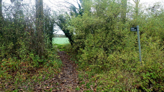
Visitors to Ashleworth Meadows can explore its well-maintained footpaths and enjoy the tranquil surroundings. The reserve offers a peaceful escape from the hustle and bustle of everyday life, providing an opportunity to connect with nature and observe the incredible wildlife that thrives in this unique habitat.
Overall, Ashleworth Meadows in Gloucestershire is a remarkable nature reserve that showcases the beauty and importance of downs and moorland environments. Its diverse range of plants and animals, combined with its ecological significance, make it a truly special place to visit and appreciate the wonders of the natural world.
If you have any feedback on the listing, please let us know in the comments section below.
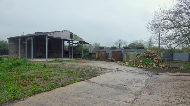
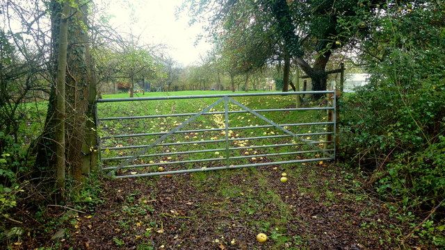
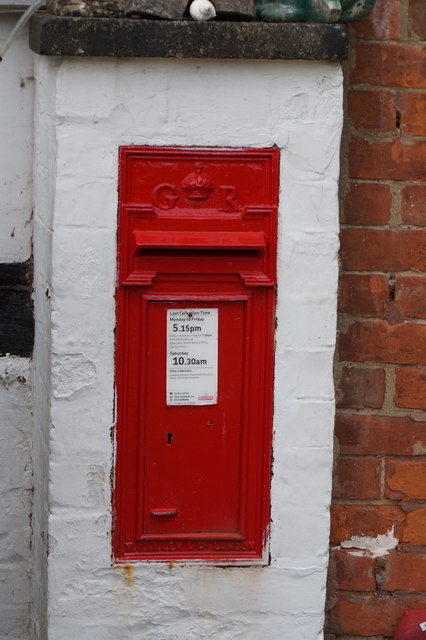
Ashleworth Meadows Images
Images are sourced within 2km of 51.927504/-2.2556565 or Grid Reference SO8225. Thanks to Geograph Open Source API. All images are credited.


Ashleworth Meadows is located at Grid Ref: SO8225 (Lat: 51.927504, Lng: -2.2556565)
Administrative County: Gloucestershire
District: Tewkesbury
Police Authority: Gloucestershire
What 3 Words
///mass.mirroring.resemble. Near Corse, Gloucestershire
Nearby Locations
Related Wikis
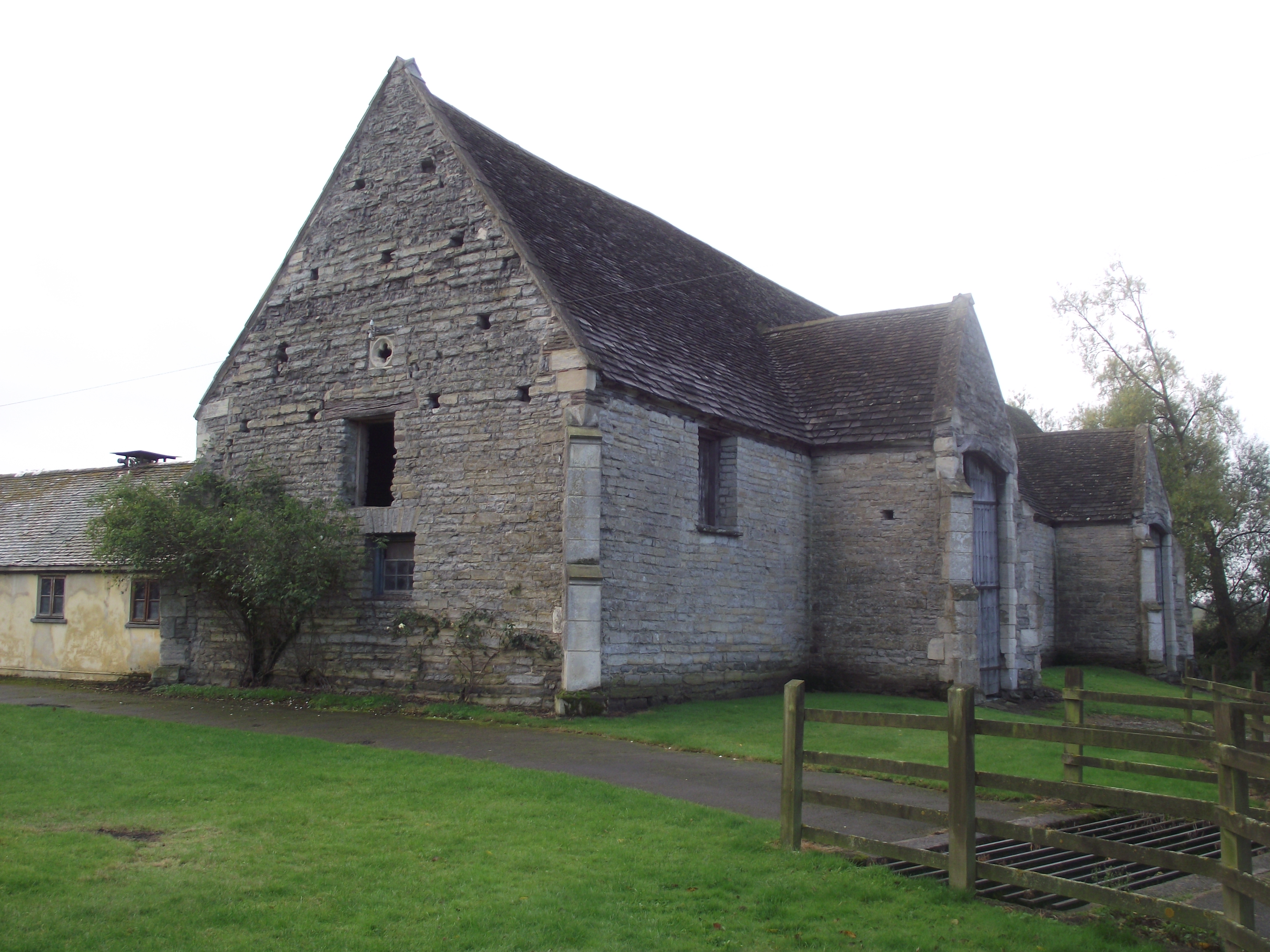
Ashleworth Tithe Barn
Ashleworth Tithe Barn is a large 15th-century tithe barn located at Ashleworth, Gloucestershire, England, standing close to the River Severn. It is a Grade...

Ashleworth Court
Ashleworth Court is a grade I listed house close to the River Severn in Ashleworth, Gloucestershire, England.The site has revealed pottery from Roman Britain...
Ashleworth Ham
Ashleworth Ham (grid reference SO833263) is a 104.73-hectare (258.8-acre) biological Site of Special Scientific Interest. It is a large area of grassland...

Ashleworth
Ashleworth (sometimes formerly spelled ‘Ashelworth’) is a village and civil parish in the Tewkesbury district of Gloucestershire, England, with a population...

Hasfield
Hasfield is a civil parish in Gloucestershire, England, and lies six miles (9.7 km) south-west of Tewkesbury and seven miles (11 km) north of Gloucester...

Hasfield Court
Hasfield Court is a Grade II* listed building in Hasfield, Gloucestershire, England. Hasfield Court was the site of a medieval manor house, the home of...

Wainlode Cliff
Wainlode Cliff (grid reference SO845257) is a 1.3 hectare geological Site of Special Scientific Interest in Gloucestershire, notified in 1954. It overlooks...

St Lawrence's Church, Sandhurst
The Church of St Lawrence is a Grade II* listed Church of England church in Sandhurst, Gloucestershire.It was rebuilt to a design by Thomas Fulljames in...
Nearby Amenities
Located within 500m of 51.927504,-2.2556565Have you been to Ashleworth Meadows?
Leave your review of Ashleworth Meadows below (or comments, questions and feedback).